Report from February 11th, 2019
Squaw Valley ski resort in Lake Tahoe, CA was incredible today.
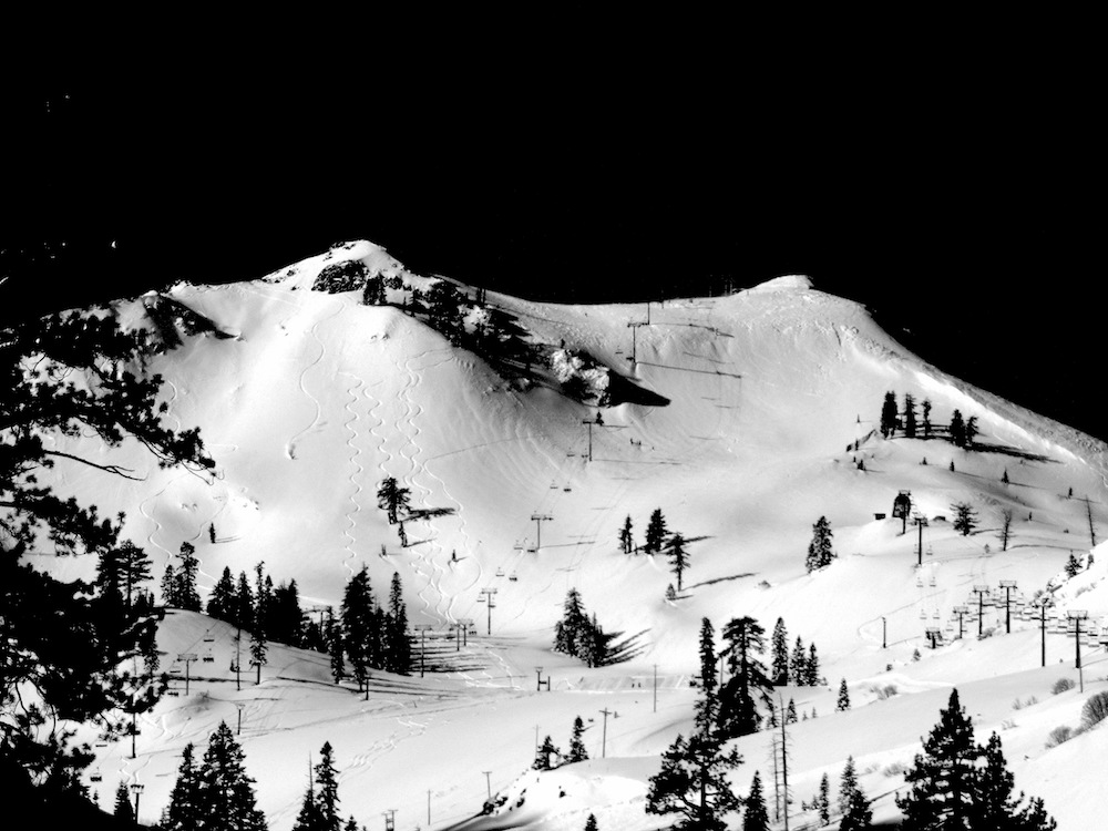
They got 46″ of snow in 24 hours, were completely closed due to avalanche danger on Sunday, then opened everything yesterday.
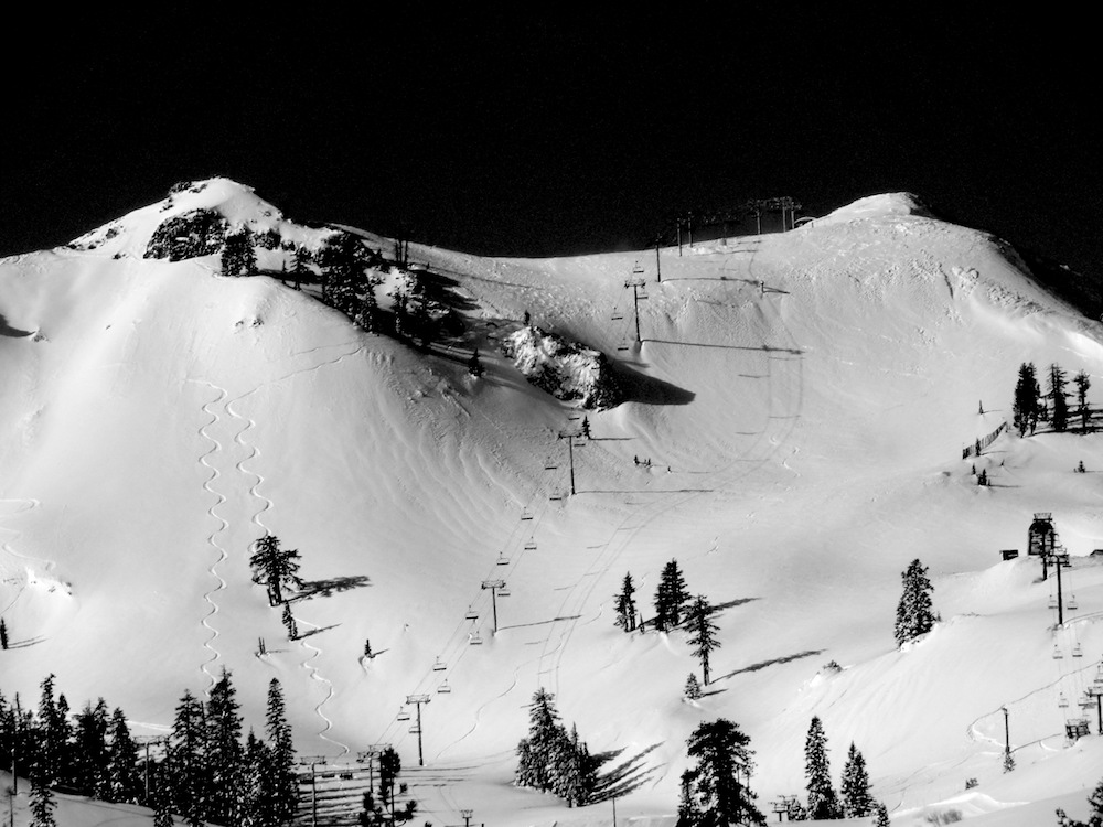
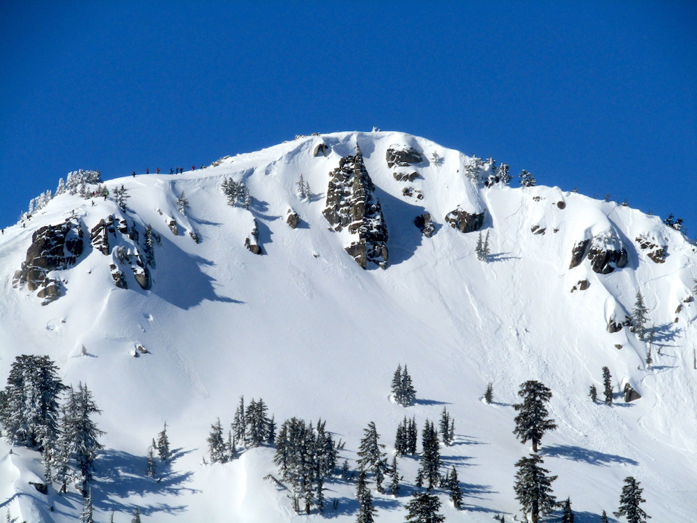
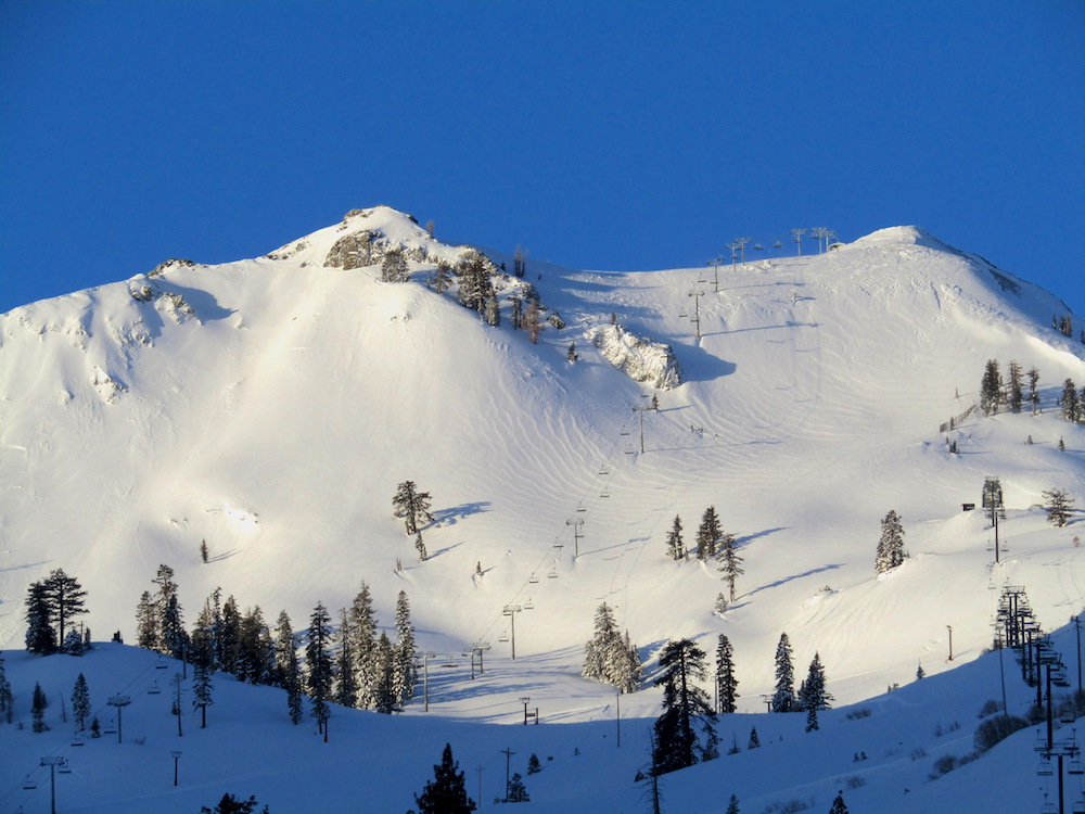
KT-22, Headwall, Granite Chief, Silverado, Siberia all opened at 9 am.
The snow was deep, light, perfect.
The snow was so good, it made me feel like I was 22 again.
Hell, it even made knees feel like they were 22 again and that is no easy feat…
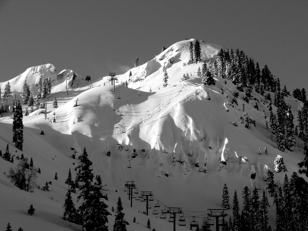
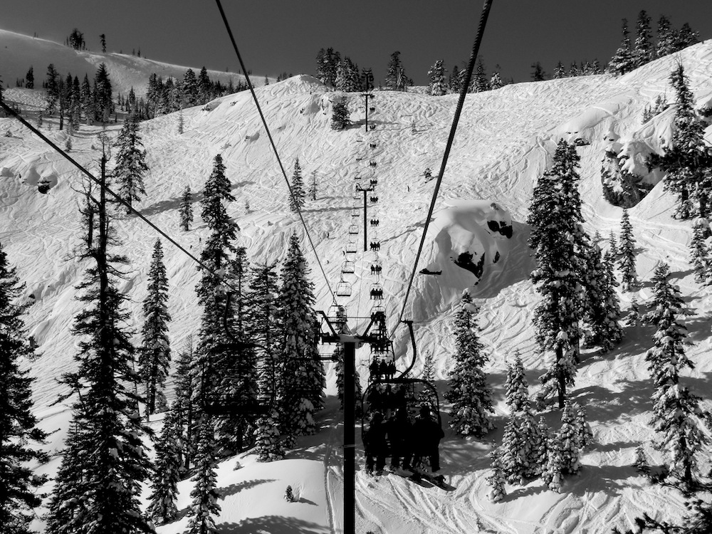
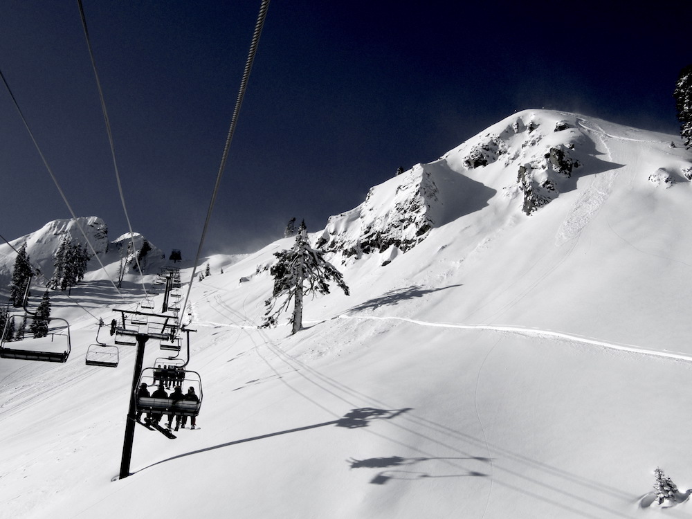
We skied 5 phenomenal Fingers laps to start the day.
1 lap on Silverado that was special.
1 lap on Granite Chief Peak that was blower.
Back to KT for a few more.
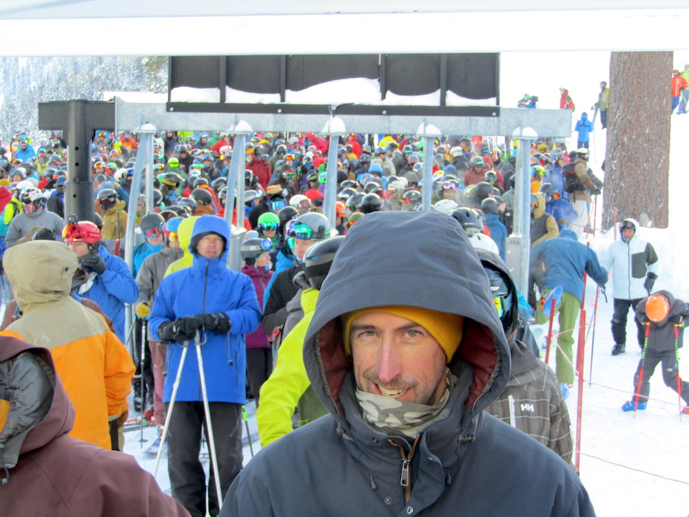
Today was simply incredible.
Longtime Squaw locals were claiming their best day ever at Squaw.
Another big storm is incoming, albeit with higher snow levels.
This is the year…
* WHAT...Heavy snow possible above 7000 feet. Total snow accumulations of
6 to 10 inches for Truckee and South Lake, except 2 to 5 feet possible
above 8000 feet including Mammoth Lakes. Winds could gust as high as
55 mph with ridge gusts possibly exceeding 150 mph.
- NOAA Reno, NV today
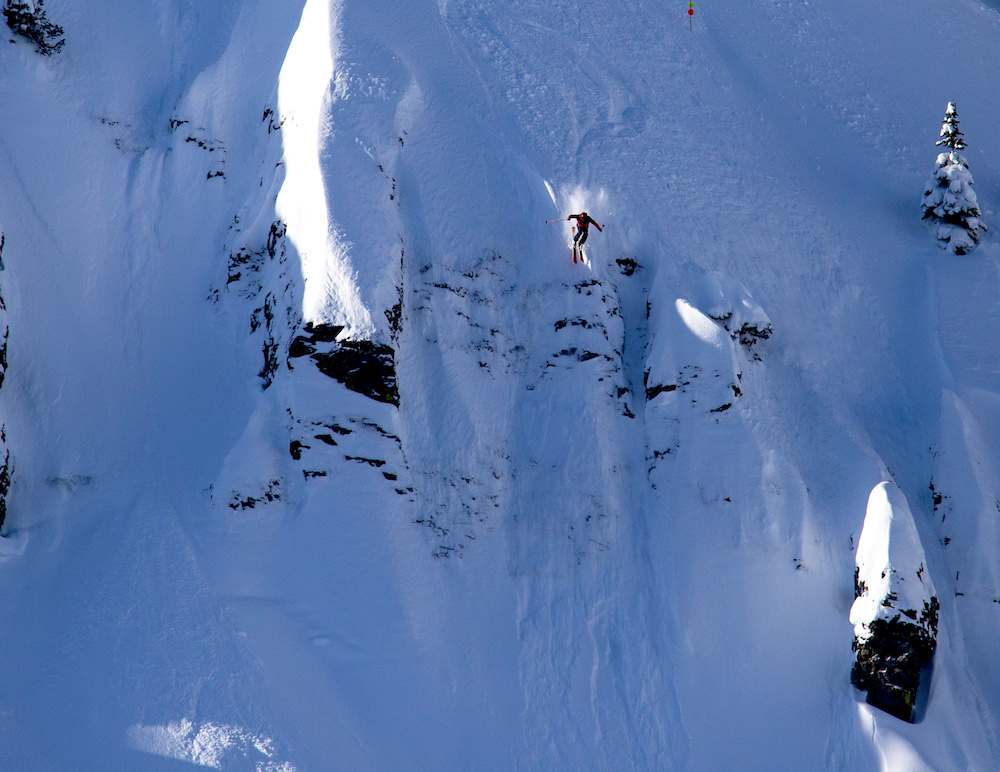
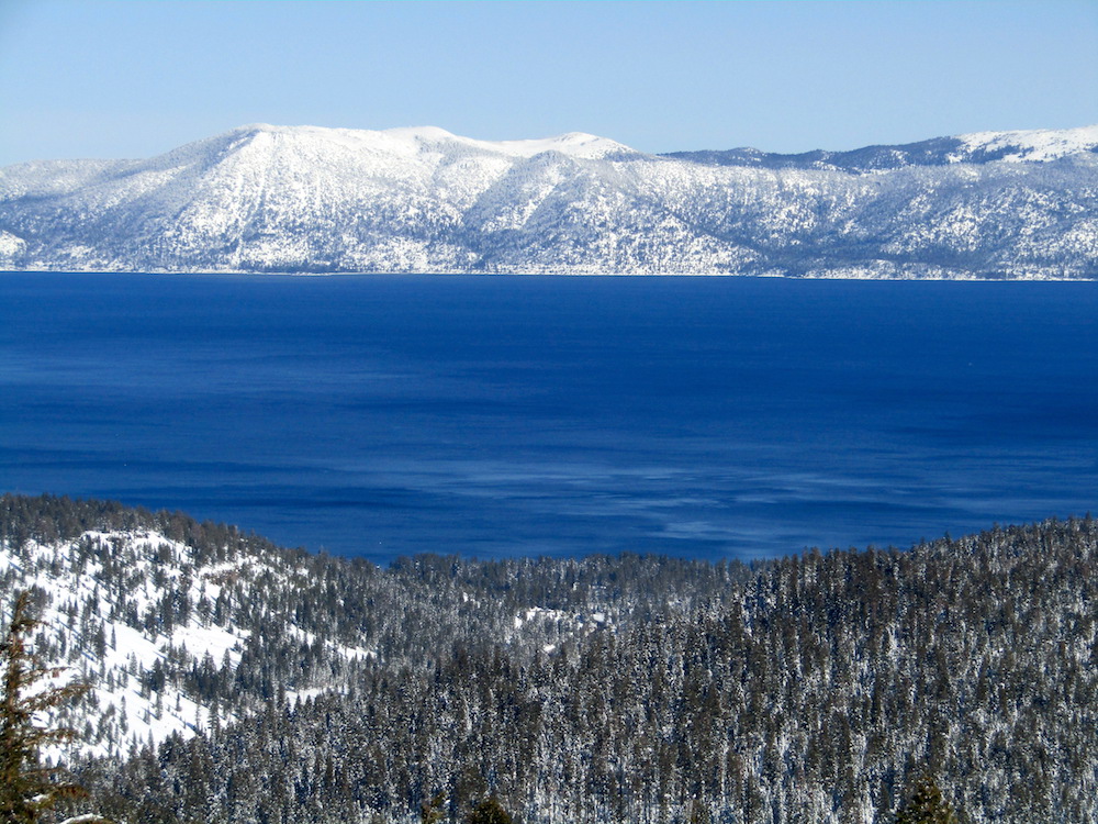
Then we went over to Alpine Meadows for a lift accessed backcountry run.
Today may have been the best day I’ve ever had at Squaw.
Certainly the best day I’ve had at Squaw since 2011.
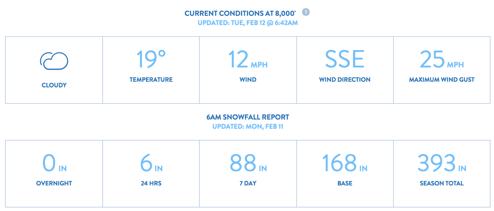
SNOW NUMBERS:
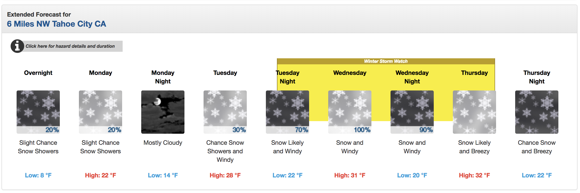
FORECAST:
Winter Storm Warning
URGENT - WINTER WEATHER MESSAGE
National Weather Service Reno NV
626 AM PST Tue Feb 12 2019

Greater Lake Tahoe Area-Mono County-
Including the city of Mammoth Lakes

...WINTER STORM WARNING IN EFFECT FROM 10 PM THIS EVENING TO
10 PM PST THURSDAY ABOVE 7000 FEET...

* CHANGES...No changes.

* WHAT...Heavy snow possible above 7000 feet. Total snow
  accumulations of 6 to 10 inches for Truckee and South Lake,
  except 2 to 5 feet possible above 8000 feet including Mammoth
  Lakes. Winds could gust as high as 55 mph with ridge gusts
  possibly exceeding 150 mph.

* WHERE...Greater Lake Tahoe Area and Mono County.

* WHEN...From 10 PM this evening to 10 PM PST Thursday.

* SNOW LEVEL UNCERTAINTY: Snow levels will start at 5000 to 6000
  feet, but may rise rapidly to near 8000 feet Wednesday.
  Potential snow accumulations below 8000 feet would be much
  less if this occurs. If snow levels are slow to rise, heavy
  accumulations may occur at Lake Tahoe level and along the 395
  corridor in Mono County.

* ADDITIONAL DETAILS...Travel could be very difficult to
  impossible. The hazardous conditions could impact the morning
  or evening commute. Very strong winds could cause extensive
  tree damage.
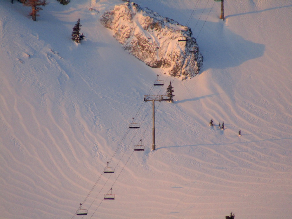
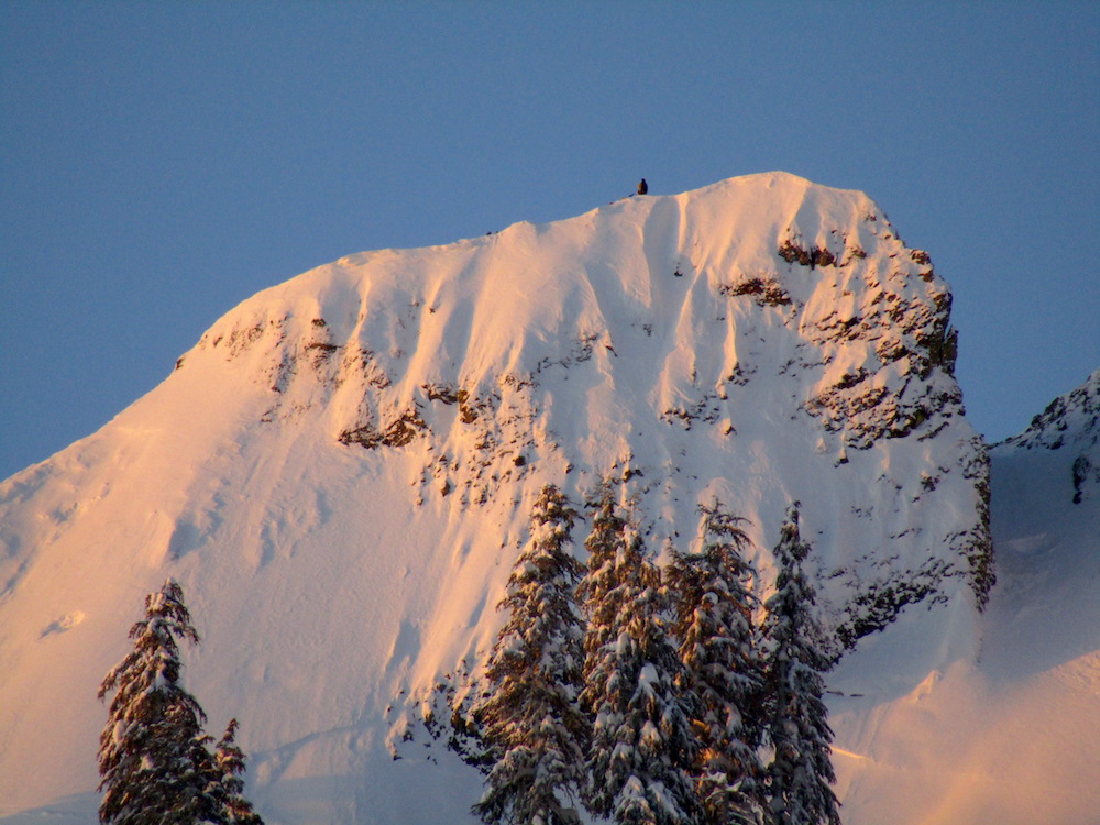
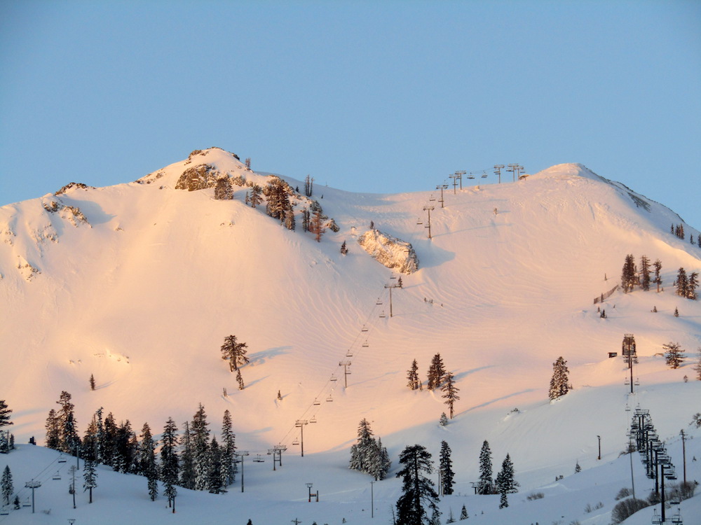
PHOTOS:
Thank you.