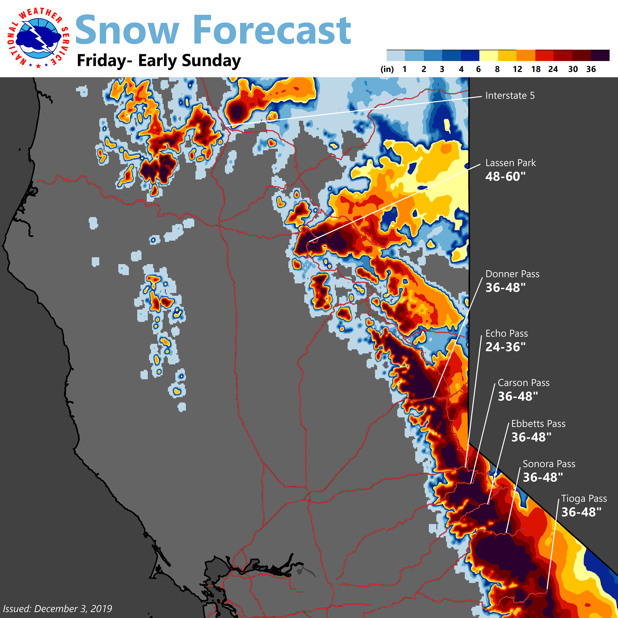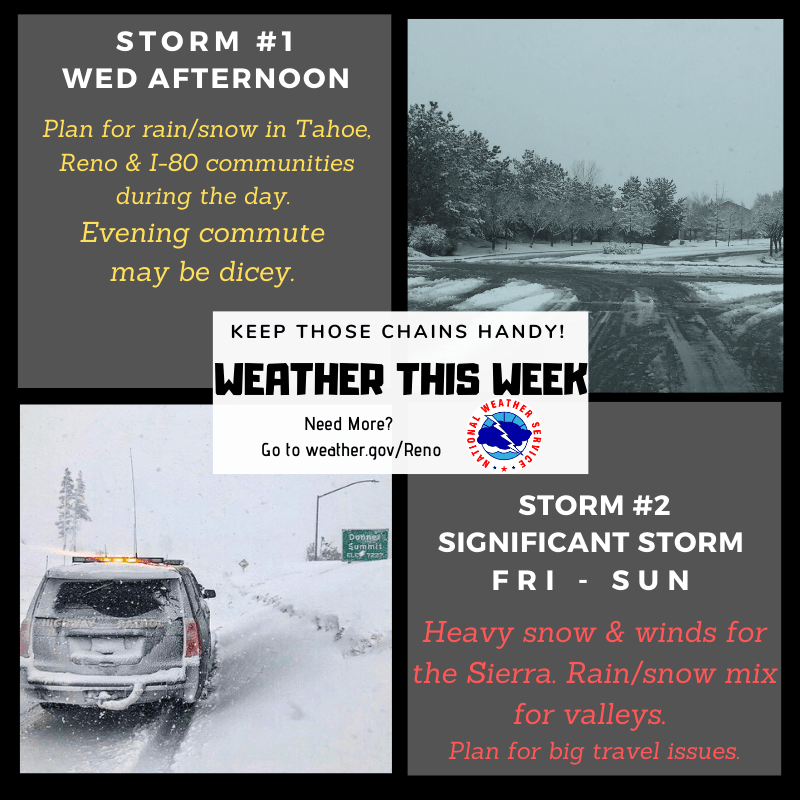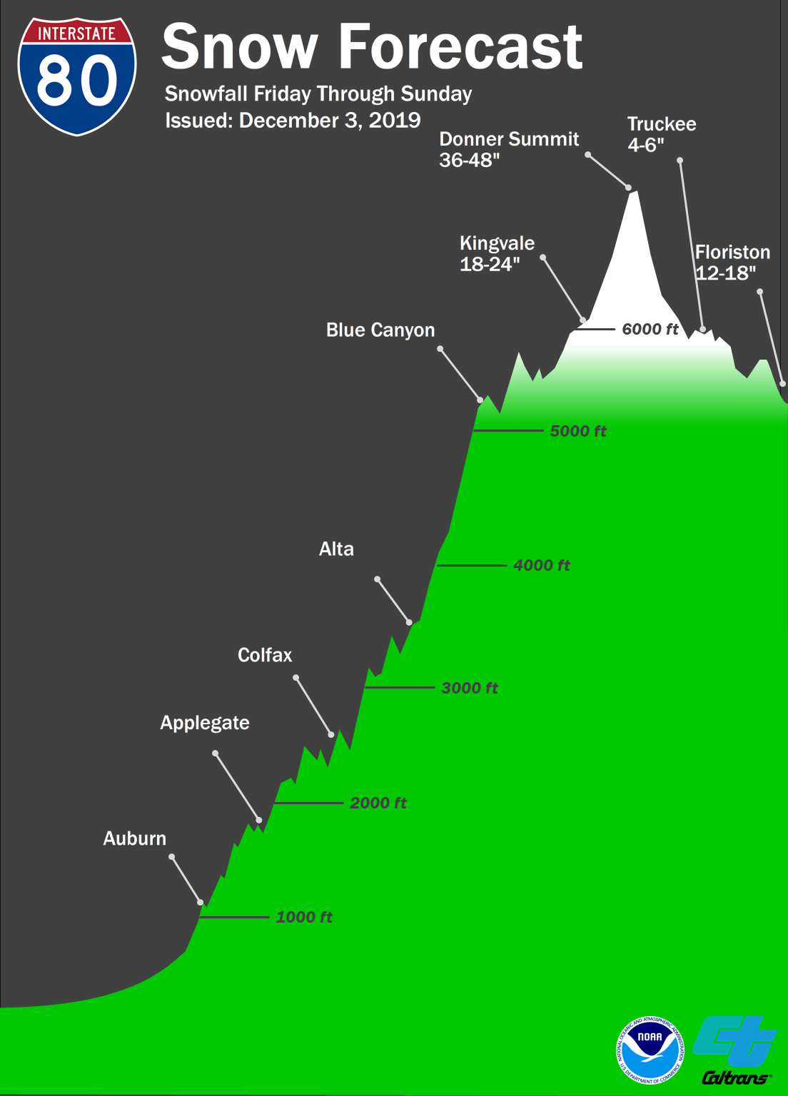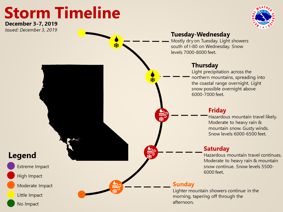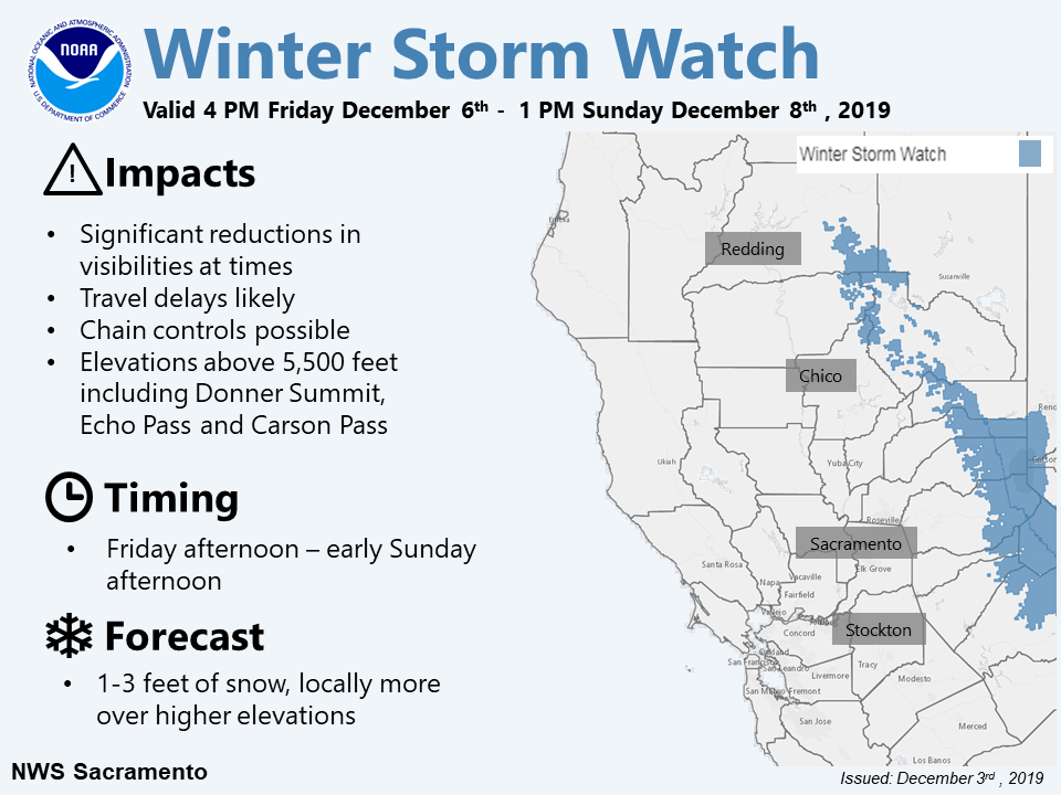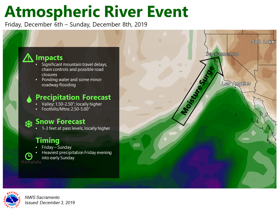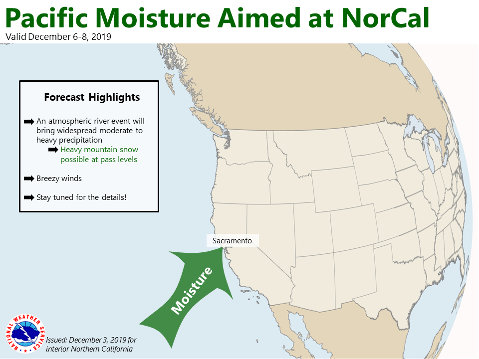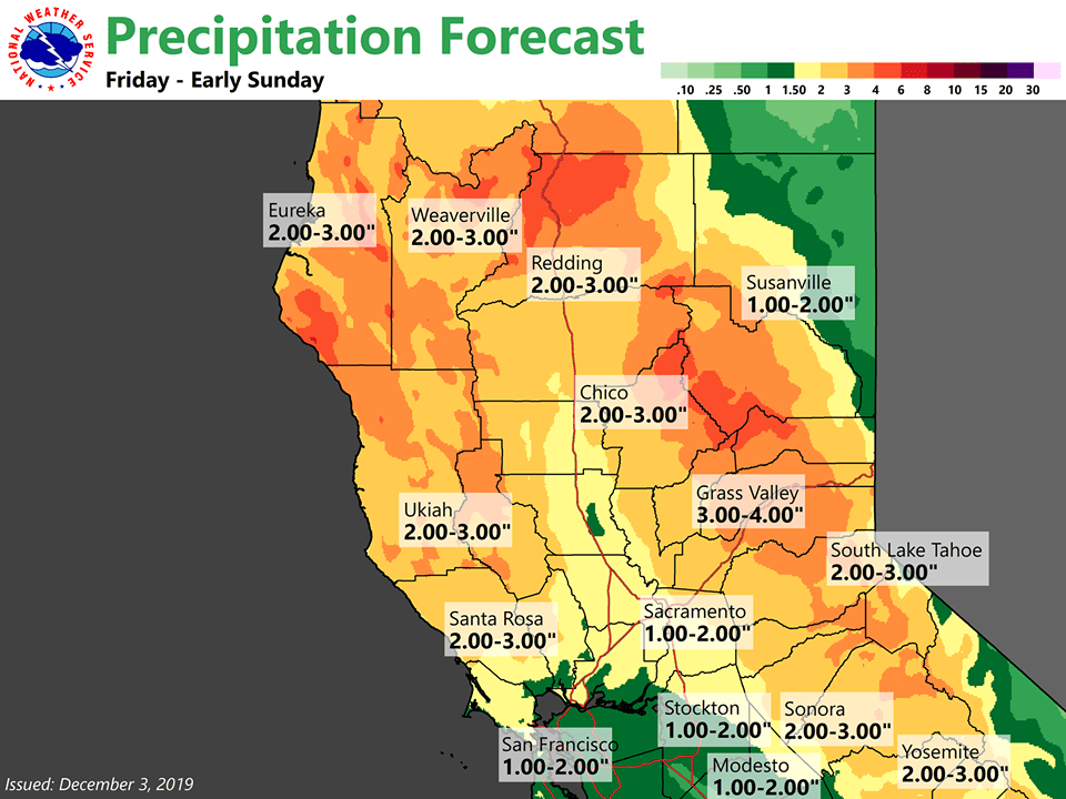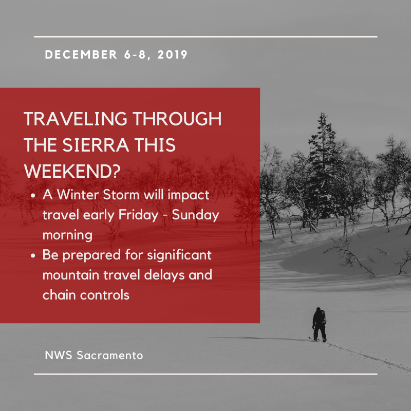
Another winter storm is expected to arrive by Friday night with more mountain snow, valley rain, and gusty winds. Waves of precipitation will occur from Friday night through Sunday. Heavy, wet snows a good bet for the Sierra passes with major travel impacts with 1 to 3 feet of snow forecast. Squaw Valley Alpine Meadows will see wet, heavy snow to the tune of 2-feet and upwards.
...WINTER STORM WARNING IN EFFECT FROM 7 PM THIS EVENING TO NOON
PST SUNDAY ABOVE 6500 FEET...

* CHANGES...Later start time, raised elevation for warning.

* WHAT...Heavy, wet snow expected. Total snow accumulations of 1
to 3 feet above 7000 feet, highest along the crest. 6-12"
possible between 6500-7000 feet. 2-6" of wet snow possible below
6500 feet. Winds gusting as high 100 mph on the Sierra ridges
and with gusts of 40 to 50 mph for lower elevations by Saturday
morning.

* WHERE...Greater Lake Tahoe Area.

* WHEN...From 7 PM this evening to noon PST Sunday.
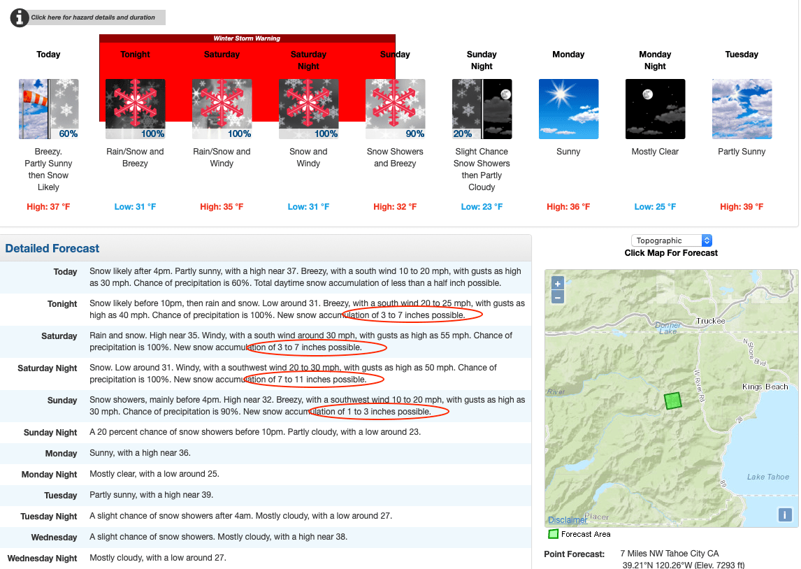
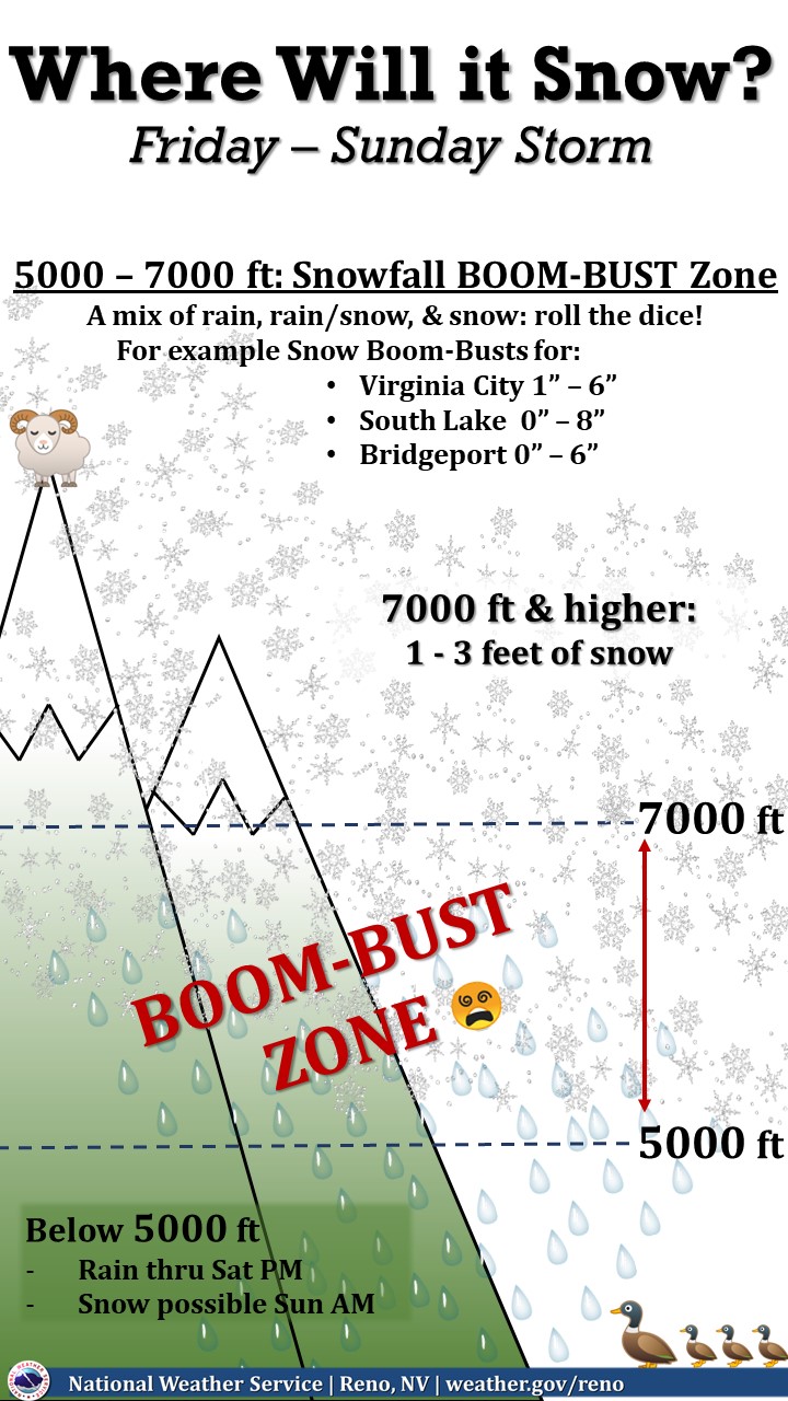
Big range of possible snow scenarios for the 5,000 to 7,000-foot elevations, which the NOAA refers to as the Boom-Bust Zone, including around Tahoe and the western Nevada foothills. There will be a mix of rain, rain/snow, and snow, so roll the dice if you are in the Boom-Bust Zone.
  Snow/Rain/Snow Levels: Areas above 7000 ft in the Sierra will
  see heavy, wet snowfall with 1-3 feet of Sierra cement through
  Sunday afternoon. Areas generally between 6,500`-7,000` will see
  the most variance from fluttering snow levels, but generally
  looking at 6-12" being most probable. Below 6,500` to lake
  level, a messy 2-6" of wet snow is possible with similar amounts
  expected for communities along the Hwy 395 corridor in Mono
  county. West of 395 in Mono county, generally looking 1-2 feet
  with up to 3 feet along the crest - NOAA Forecast Discussion
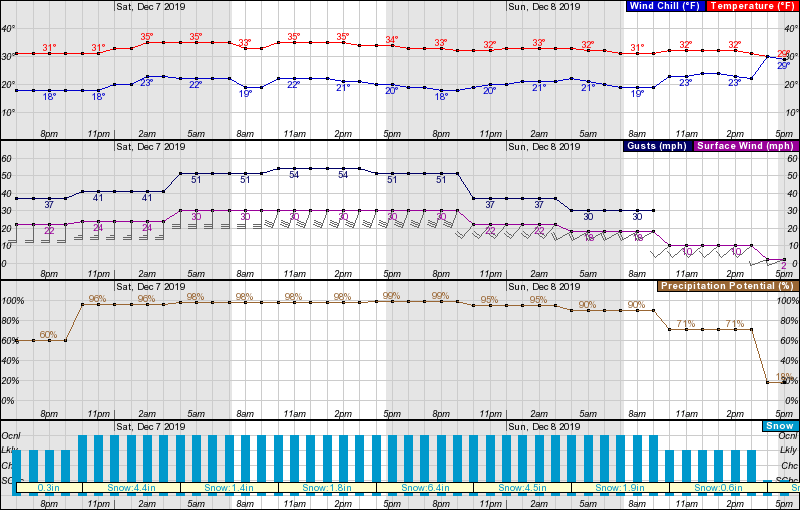
Expect high winds, with gusts in excess of 50-mph and a wind chill temperature in the low twenties.
Squaw Valley has seen 84″ of snow this season already, most of that coming last weekend, and is advertising a 43″ base. Add into that the potential from this new storm, and they could break 100″ total snowfall by the end of the weekend, setting us up for a great season. They are opening terrain as it is ready a number of lifts opening today.
By December 6th last year, they had received 76″ and that was one of the best years on record…
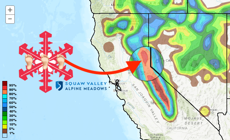
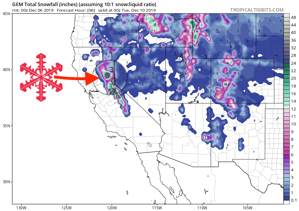
GEM Snowfall Total Forecast:
Other Info:
