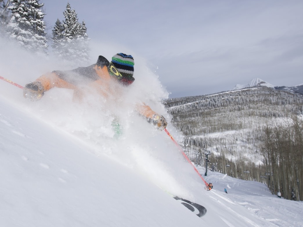
Some powder days feel like magic—light, airy snow that you can ski through like it’s barely there. Other days, it’s like skiing through oatmeal: heavy, dense, a workout in every turn. There’s a reason for this, and it’s not just luck or a specific mountain range. It all comes down to the Snow Liquid Ratio, a metric that’s as important to the quality of your ski day as snow depth. Imagine it like the difference between skiing on a cloud versus pushing through wet cement—SLR defines the kind of day you’re in for. In short, SLR could mean the difference between champagne powder and “Sierra Cement” or “Cascade Concrete.”
What Is Snow Liquid Ratio (SLR)?
Snow Liquid Ratio, or SLR, describes how much liquid water a given volume of snow would yield if melted. A typical SLR might be around 10:1 or 12:1—meaning 10-12 inches of snow for every inch of water. High SLRs, often found in colder, drier climates like those in Colorado or Utah, can go up to 20:1 or higher, while warmer, wetter conditions, such as those in the Pacific Northwest, might yield an SLR as low as 5 or 6:1. The difference is huge for skiing: high SLR snow is effortless, light, fluffy, and buoyant, while low SLR snow is heavy, sticky, and strenuous, impacting everything from how you float to how hard you have to work.
Factors That Shape Snow Liquid Ratio
Temperature’s Crucial Role
Temperature is one of the biggest players in determining SLR. Cold air holds less moisture, which allows snowflakes to grow larger and form more intricate shapes. These larger, more complex snowflakes trap more air, creating fluffier snow that results in a higher SLR. Think of the airy, light powder of the Rockies on a frigid day. In warmer conditions, snowflakes hold more water, growing in a more compact and wetter form, which leads to a lower SLR and denser snow. So, that sticky “concrete” feeling often comes from snowflakes that fell through warmer, wetter air.
Wind’s Impact on Crystal Structure
High winds do more than just pummel your face—they shape snow’s density, too. Strong winds break snow crystals into smaller fragments, causing them to pack tighter together, leading to a lower SLR. In stormy, windy conditions, the snow that falls is often more compact, making for tougher skiing. This means that windy conditions can lead to denser, more challenging snow, which requires more effort to ski through compared to light, fluffy snow. These broken, denser crystals are also the same culprit behind wind slab avalanches, which should be treated with extreme caution by backcountry skiers and snowboarders.
The Influence of Atmospheric Moisture
Moisture in the atmosphere also determines how heavy or light snow will be. High-moisture air masses, like those coming off the Pacific, often lead to dense, lower-SLR snow (hello, Cascade Concrete). On the other hand, cold, dry air produces powder with a high SLR, creating snow that feels as soft as it sounds.
Why SLR Prediction Is So Hard
If only we could predict SLR with the same accuracy as temperature or wind speed. Unfortunately, SLR isn’t governed by a simple formula, like other atmospheric variables; unlike temperature or pressure, SLR is a product of multiple interlocking factors, from temperature to cloud structure to crystal formation—the combination of which we still do not yet perfectly understand. This complexity makes it difficult to predict precisely. As a result, incorrect SLR forecasts often throw off our snowfall predictions more than inaccurate precipitation forecasts.
Kuchera and Cobb Formulas: Helpful but Limited

Meteorologists have developed models to estimate SLR, the most well-known being the Kuchera and Cobb formulas. These formulas are helpful, but they’re far from perfect—especially in mountainous terrain where elevation and local weather quirks add additional layers of complexity. As a result, SLR predictions can often be off, leading to surprises for skiers who count on forecasted snow quality.
How Understanding SLR Can Transform Your Ski Day
For skiers, SLR isn’t just a number; it’s an experience. High SLR means soft, forgiving powder where skis float effortlessly, ideal for deep powder days and backcountry adventures. Low SLR, on the other hand, creates conditions that require more leg strength and technique. Knowing the expected SLR can help you prepare for the day: bring your fat skis and expect a dreamy day in high-SLR conditions, or be ready to power through denser, heavier snow in low-SLR conditions. In low-SLR scenarios, also be mindful of avalanche risks, as dense, heavy snow can contribute to unstable layers and more cohesive slabs, particularly in backcountry environments. For high-SLR snow, consider using skis with a wider waist and more rocker to enhance floatation. In low-SLR conditions, be prepared for a more physically demanding day.
Wrapping Up: SLR—The Science Behind Powder
The next time you check a forecast, take a glance at the SLR if it’s available. Each snowfall has its unique fingerprint, shaped by temperature, wind, and moisture. Understanding these factors adds an extra layer of appreciation for powder days, making each run feel a bit more special. Because skiing isn’t just about riding down a mountain; it’s about experiencing the conditions that only nature—and a little science—can create.