Report from May 11, 2024
Yesterday we went for a classic.
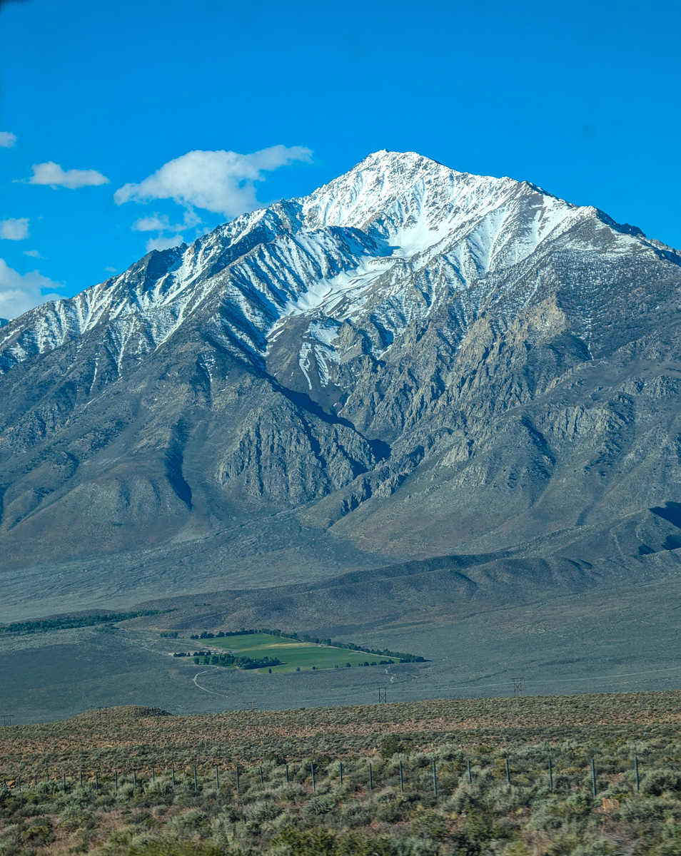
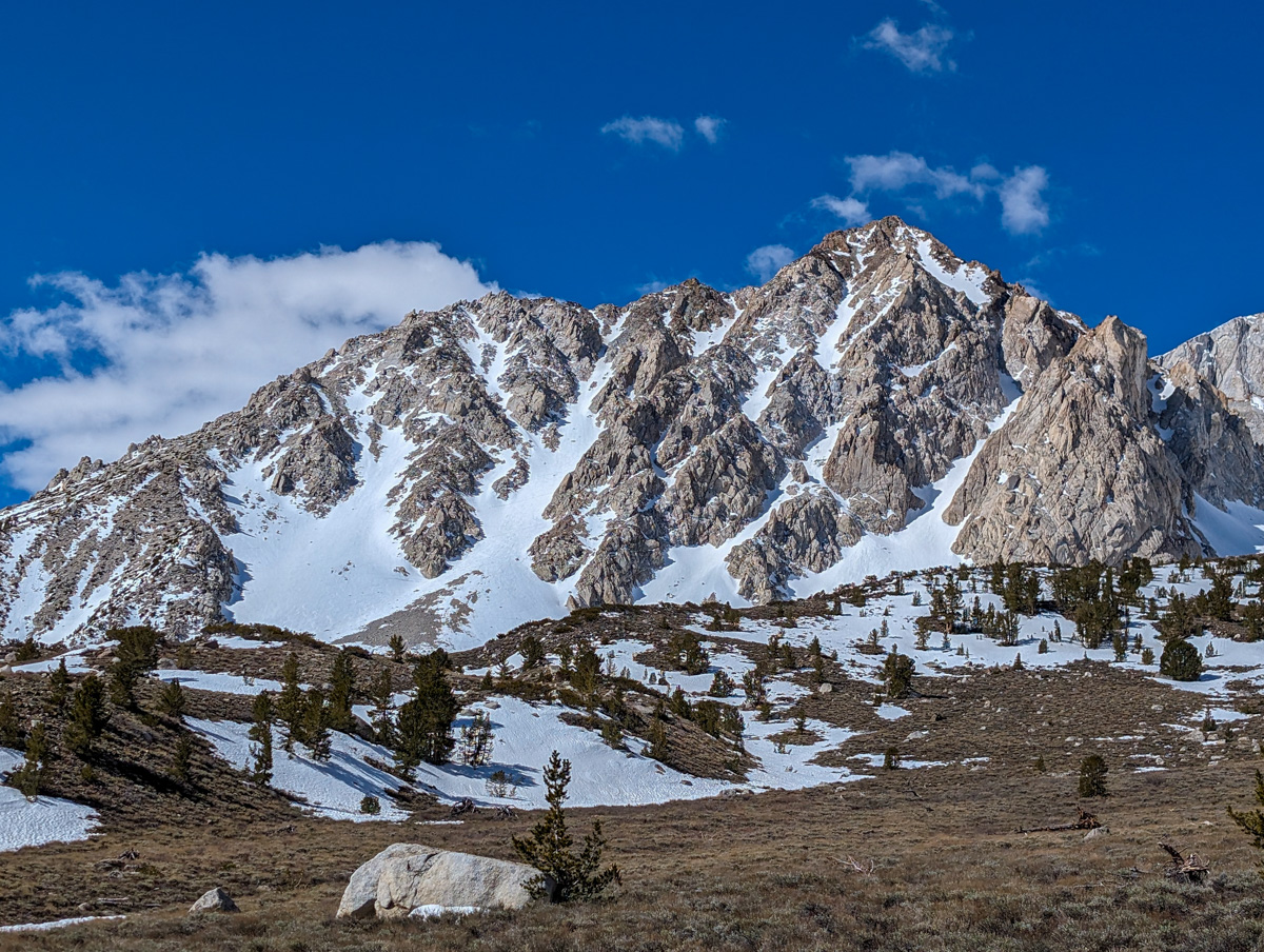
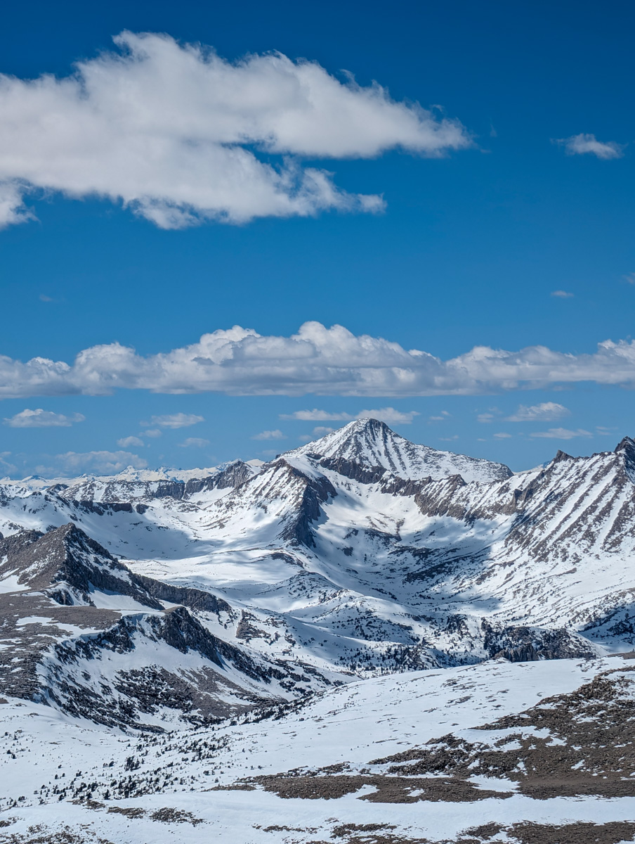
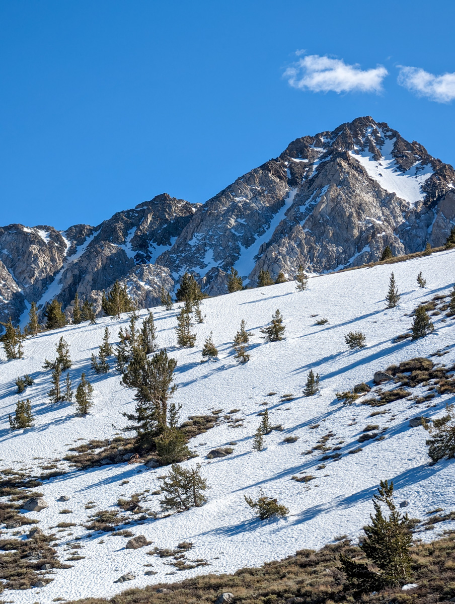
13,996′ Mt. Humphreys in the Eastern Sierra Nevada Mountains of California.
This is one of 4 mountains on my wedding ring and I’d never skied it…
13,996′ Mt. Humphreys
“East Couliors”
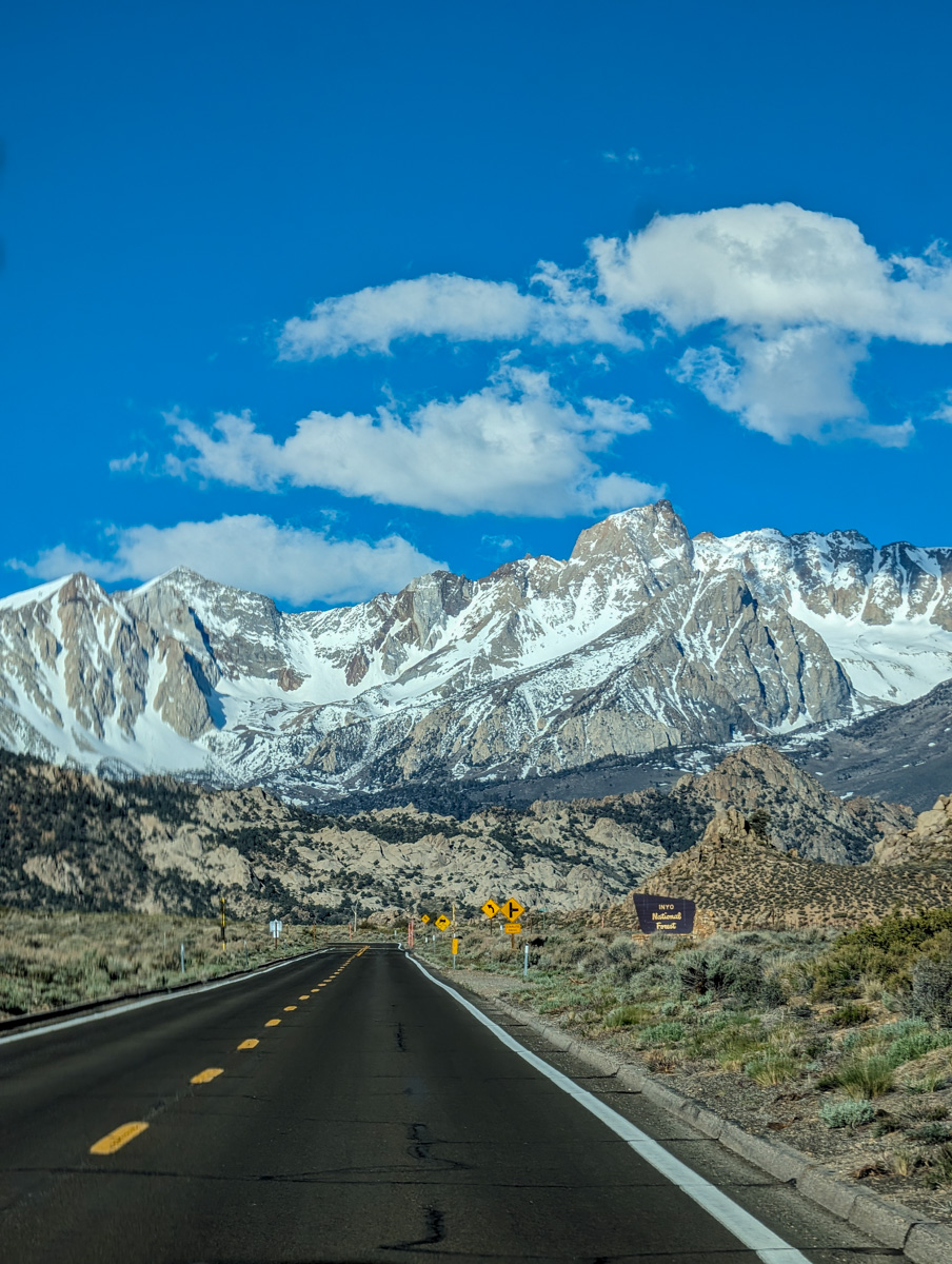
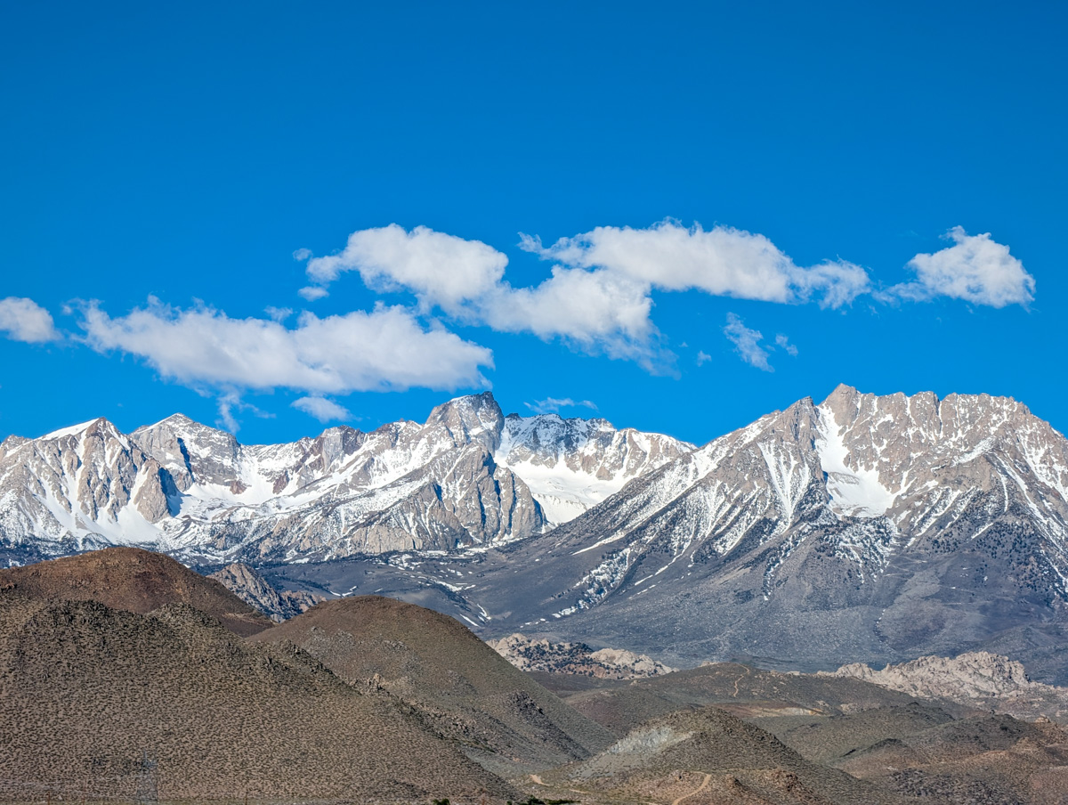
Sierra Nevada Mountains, CA
- Summit (actually a ridgeline): 13,400 feet
- Car: 8,900 feet
- Vertical From Car: 5,000 feet
- Vertical skied: 1,000′ in the East Couloir, 1,500′ of glorious corn down to Longely Lake, 900′ more down to the snow line (3,400 total)
- Max Pitch: 45+º in East Couloir
- Average Pitch: ??º
- Aspect: E
- Distance: 10-miles round trip
- Time From Car to Summit: 5 hours & 30 minutes
- Car to Car Time: 8 hours & 15 minutes
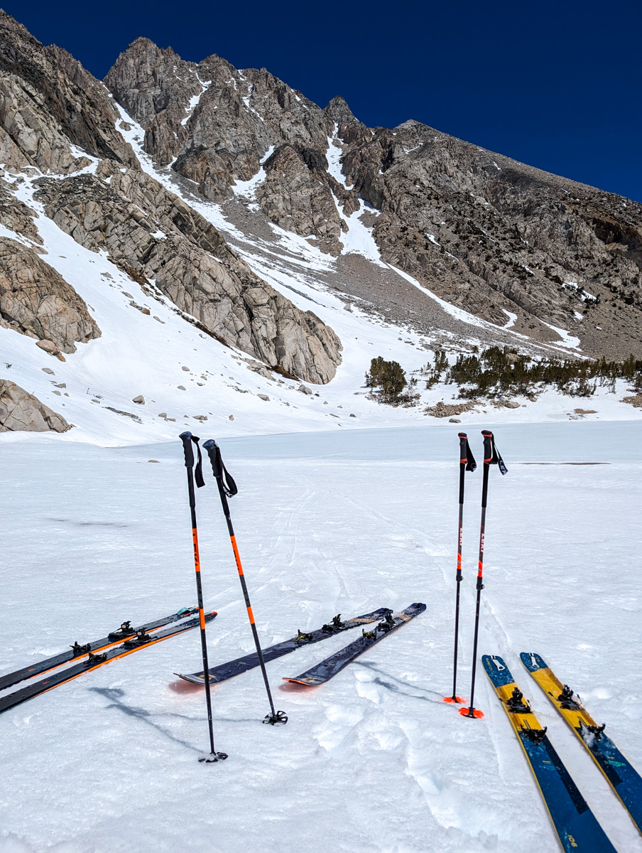
- Recommended Equipment: crampons, ice axe x2, skins
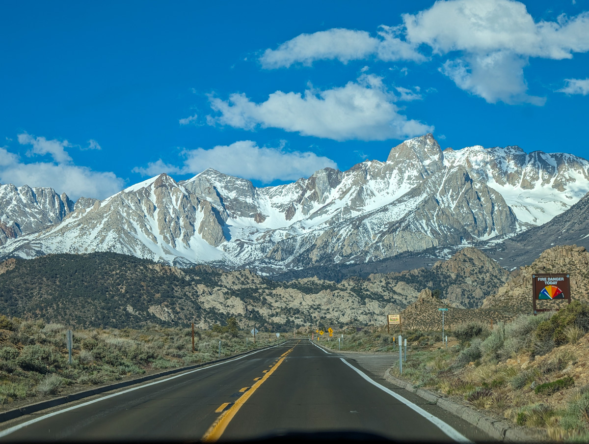
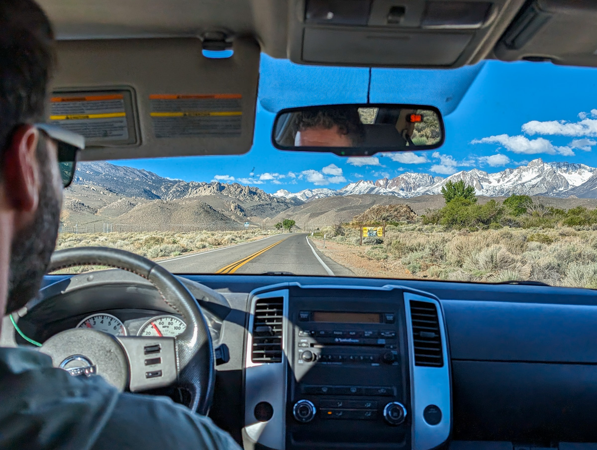
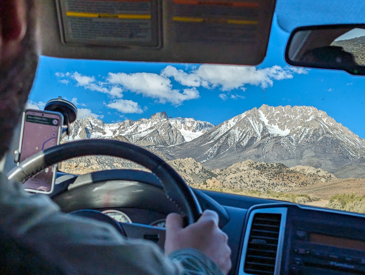
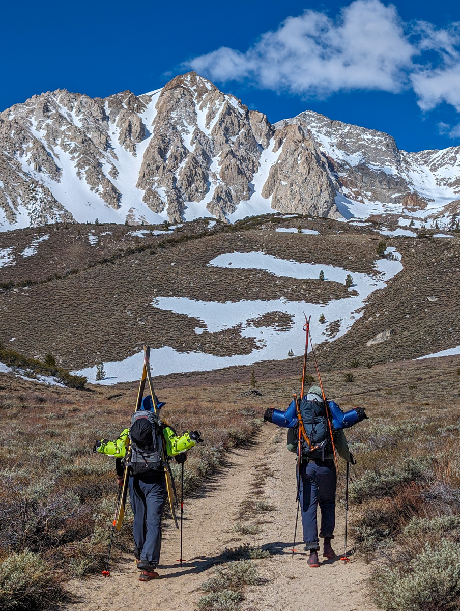
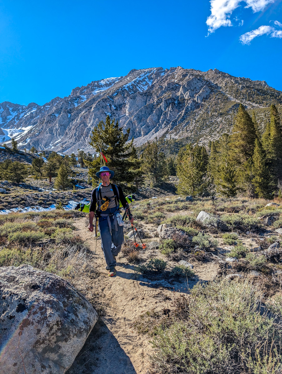
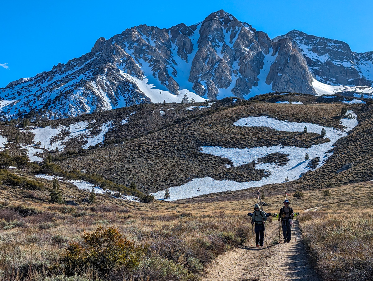
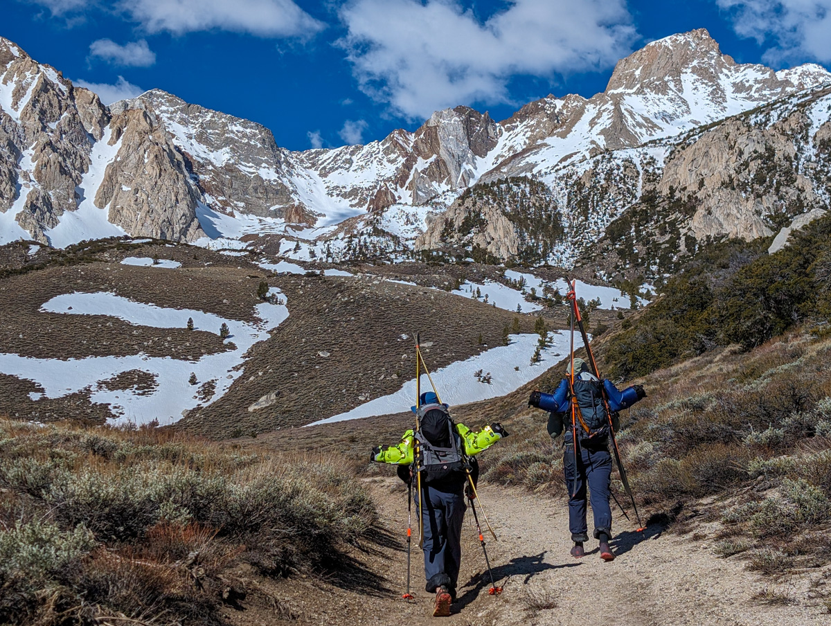
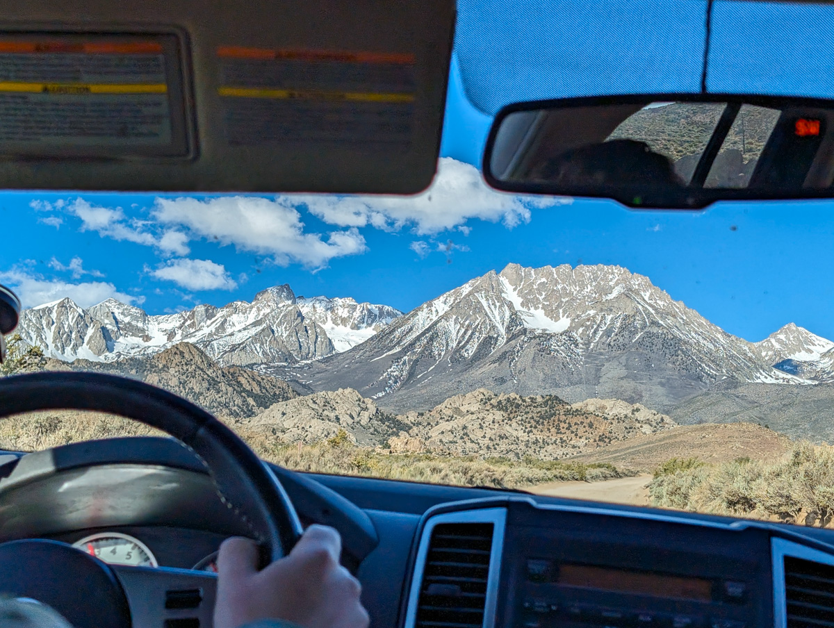
The Buttermilk Road is passable nearly all the way to the Upper Buttermilk Trailhead right now.
We drove as high as we could and parked.
Hiking began at 9am.
55 minutes later, we were on snow.
We dropped our shoes, slapped on our boots, skis, skins, and started up.
I was tired…
Greggy lead the charge up to Longely Lake at 10,700′.
It was already 11:30pm and I was worried about being late and skiing bulletproof snow in the shade.
I still have PTSD from our shaded Wahoo Gullies run 3 days ago…
I made a plan and started moving quick.
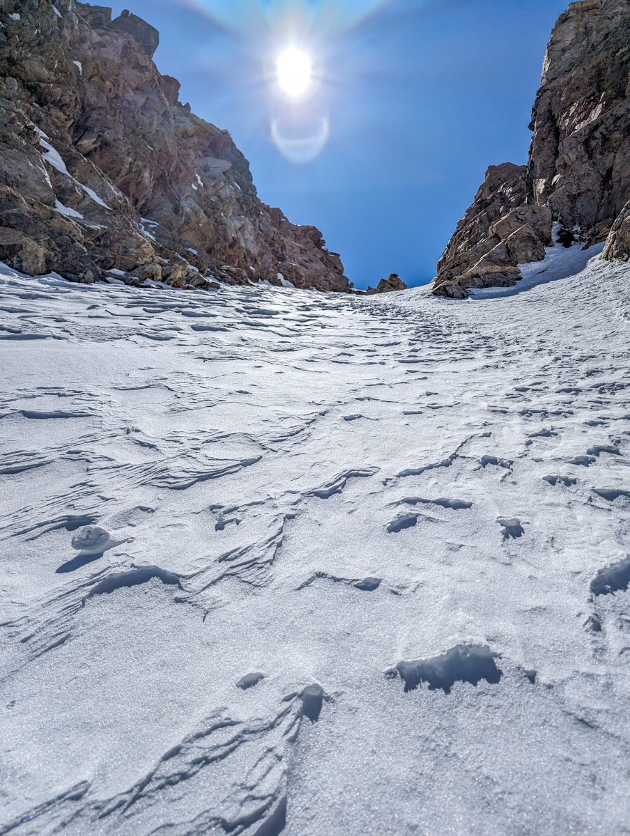
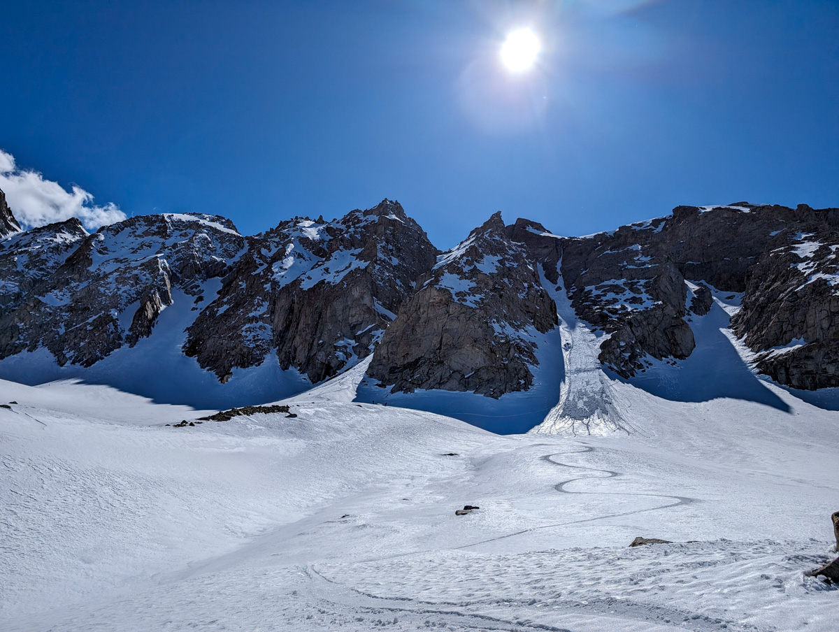
I got up to the base of the chute at 12,200′ by 1pm.
From there the booter was tough.
Deep, transitional snow left me booting shin to knee-deep most of the way.
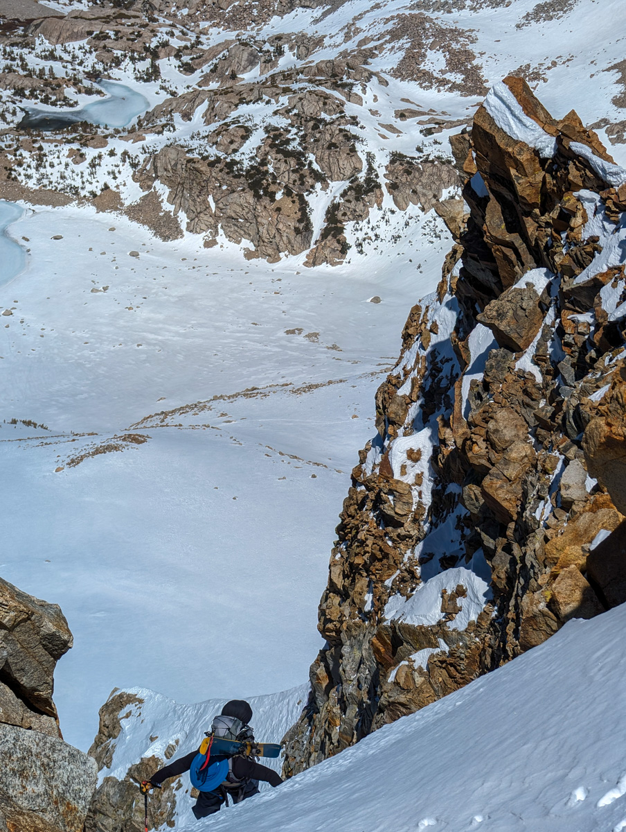
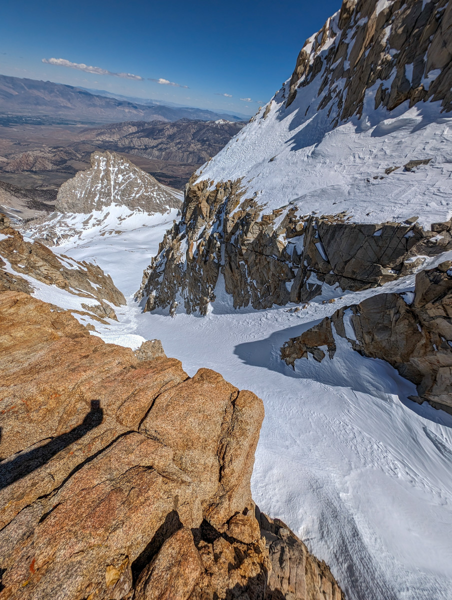
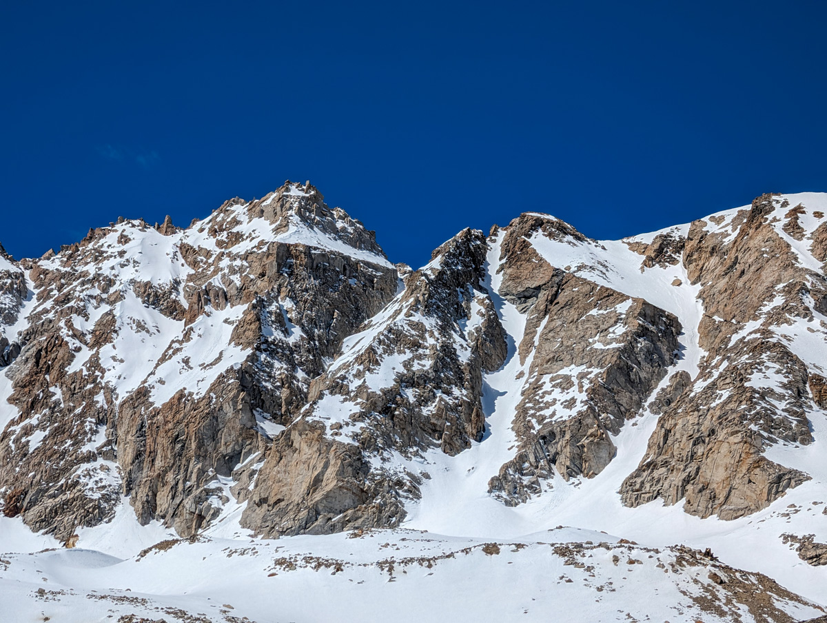
We’d chosen the middle East Couloir and the thing ended up steeper than expected.
Halfway up, where the chute dogleged, it just got vertical.
At the dogleg, the snow changed from slop to powder and I was encouraged.
Then the thing steepened even more (50º?) and the snow got firm and punchy.
Yuck.
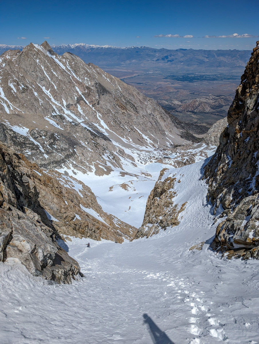
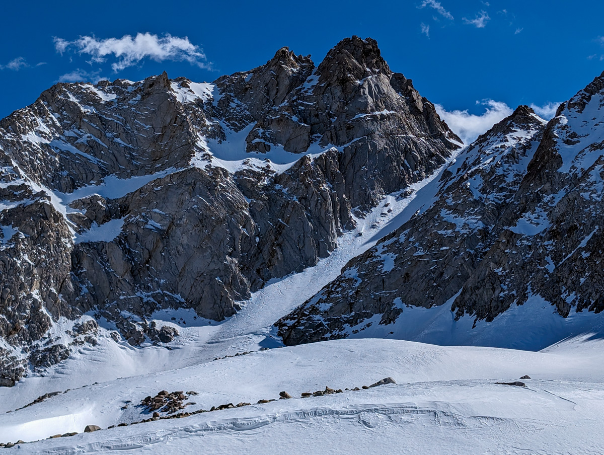
The only saving grace was that I knew it was flat at the top and that we’d have access to the other 2 East Couloirs.
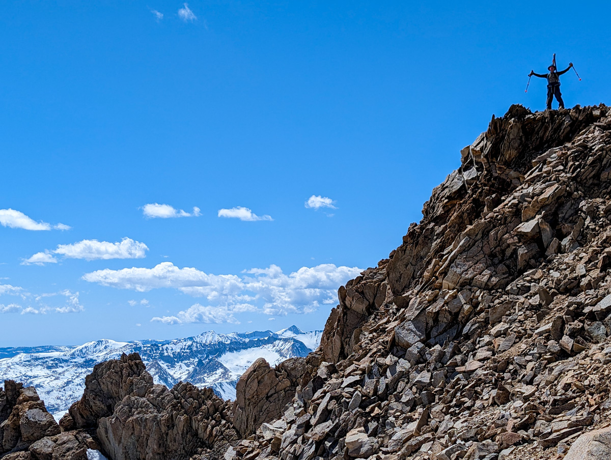
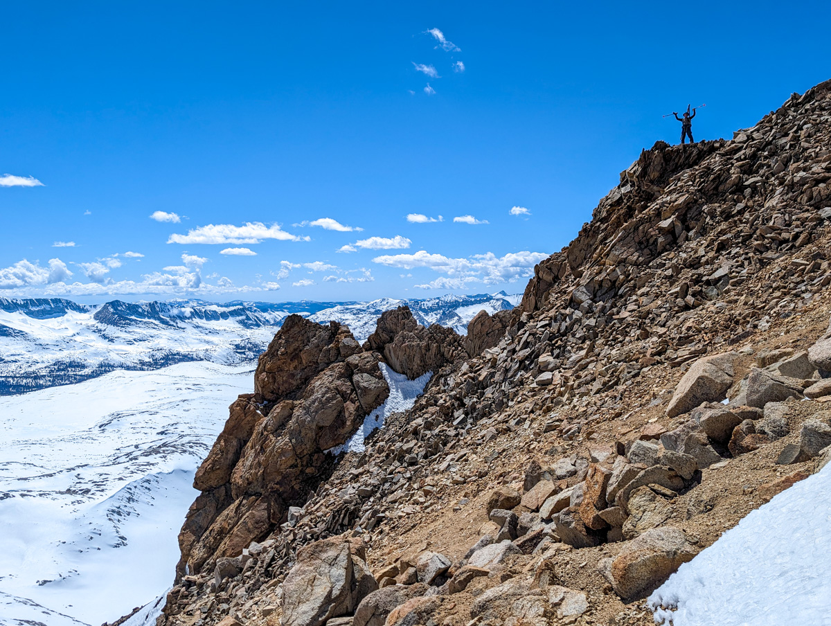
The very top was super steep and narrow and the decision to abort was easy.
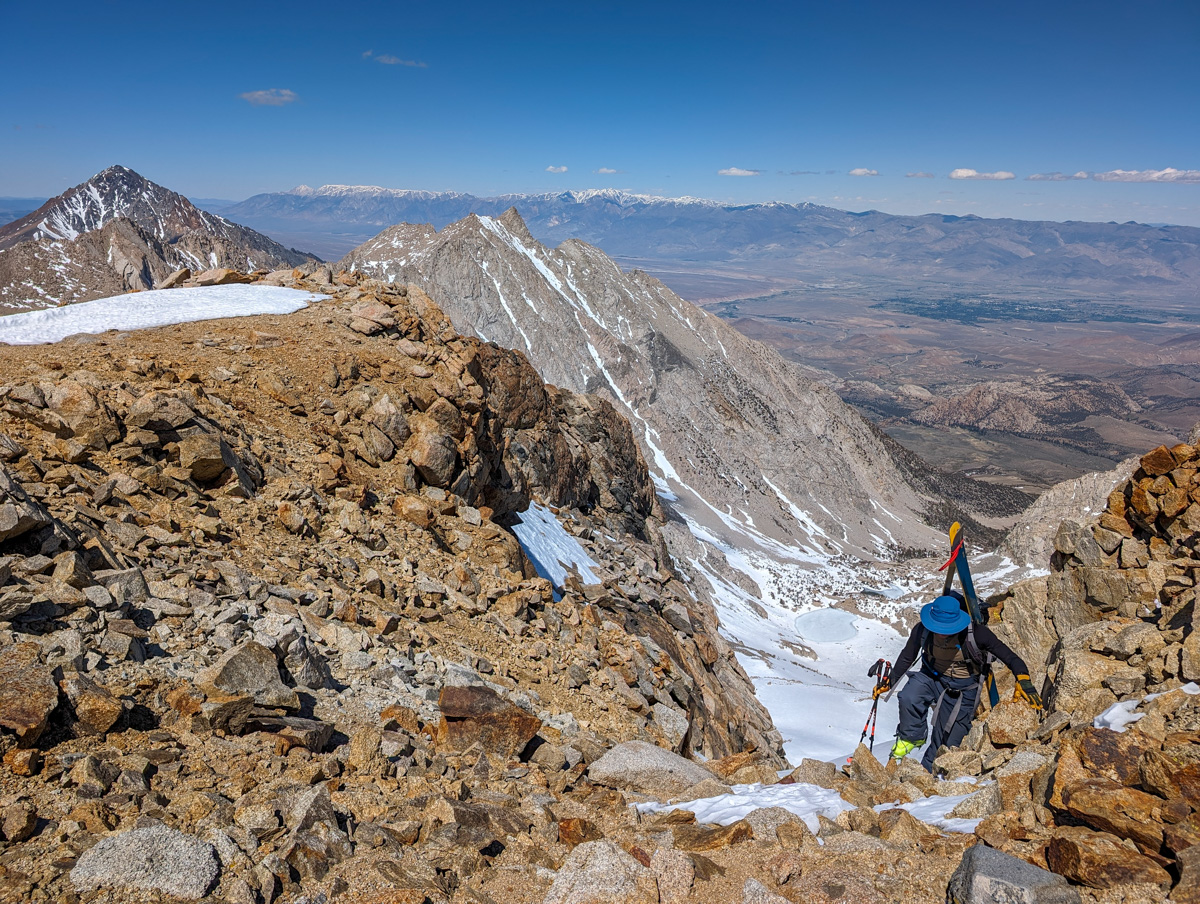
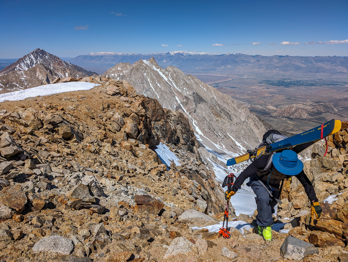
I topped out first and investigated the skier’s right East Couloir.
It looked mellow with an easy entrance which was just what I needed after being gripped climbing with 2 ice axes for the previous 30 minutes.
Dobbs topped out and I told him the plan.
He was relieved as well but was still willing to ski the steep one.
Not me.
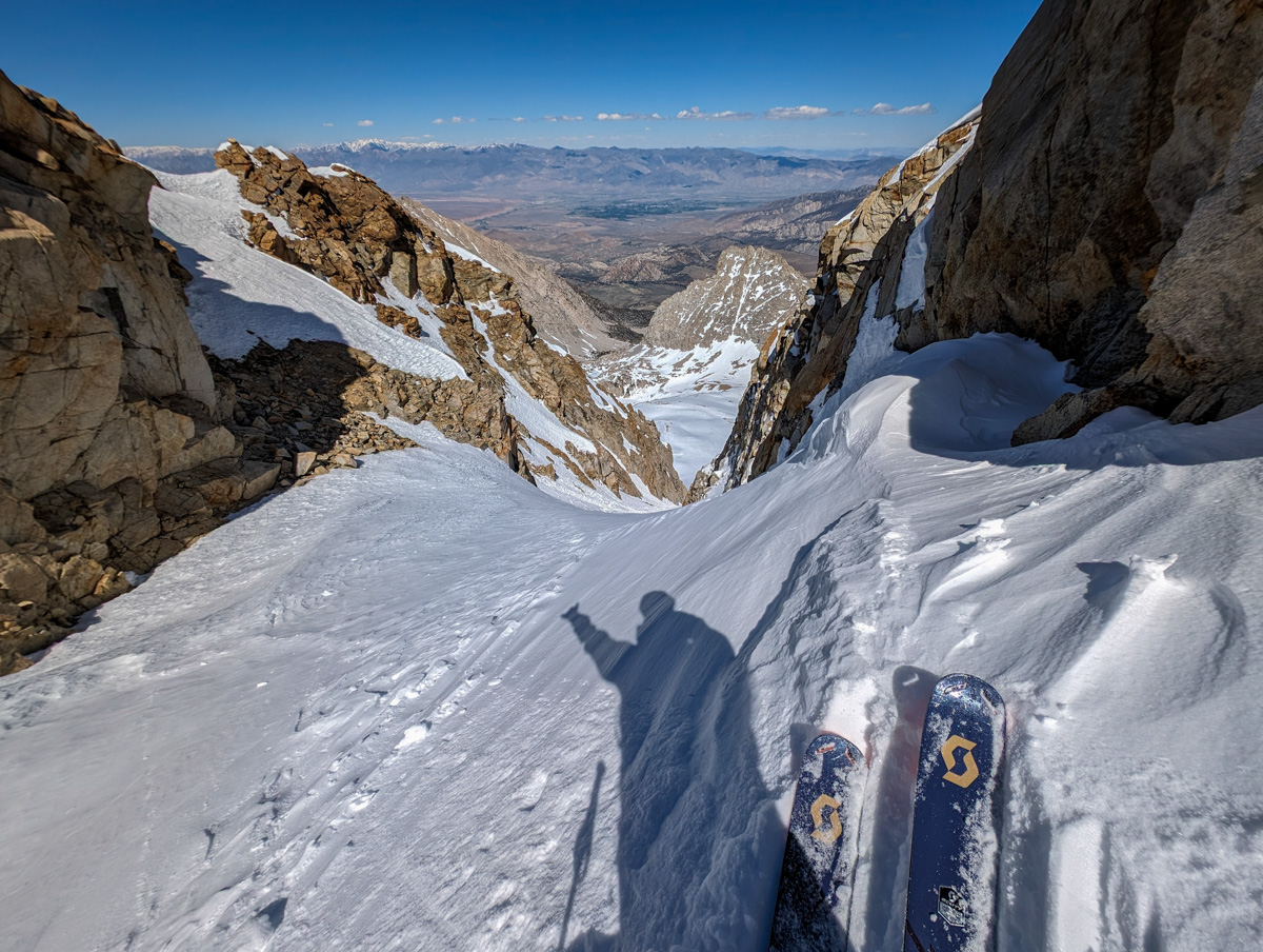
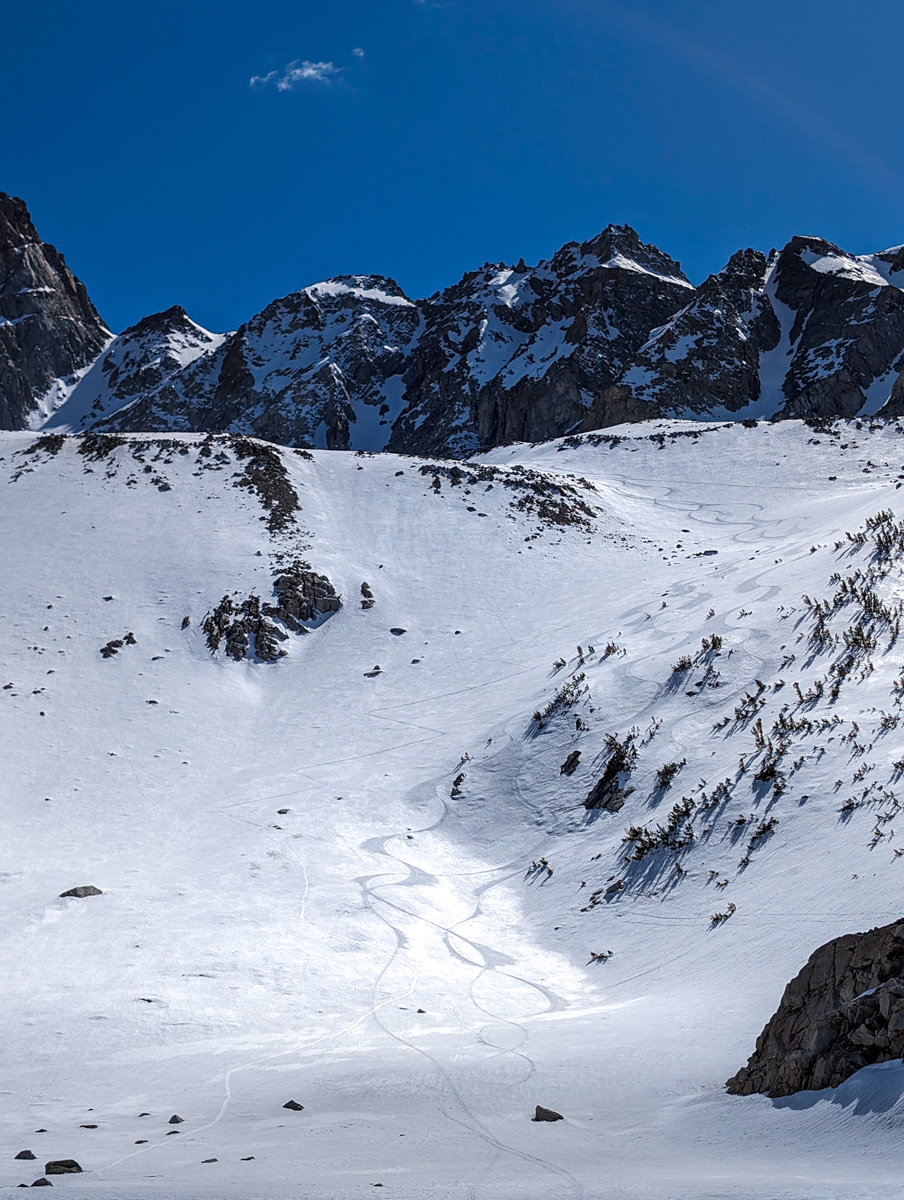
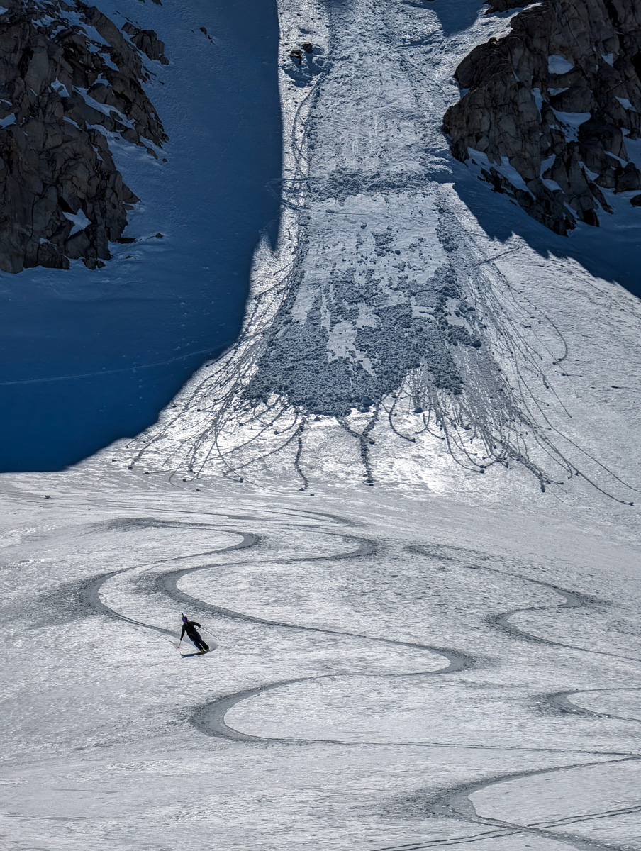
We bumped over to the skier’s right East Chute and got ready.
This is the chute I’d initially planned on skiing.

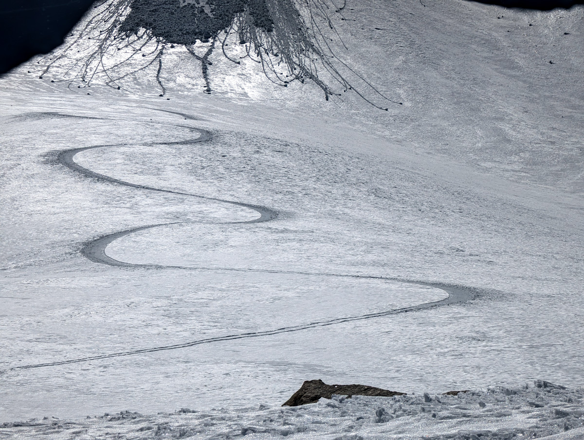
It was steep, mostly straight, well-walled, beautiful, and consistent.
The snow appeared to be powdery on the right and kinda nasty on the left.
I dropped first and the smooth soft snow was actually smooth firm and breakable snow.
Sketchy.
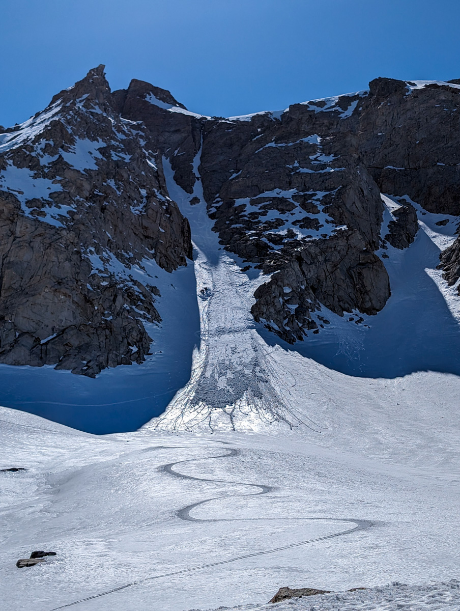
I pulled hard right towards some large orange peel-textured snow directly against the wall and found it soft and carvable.
I stuck in the big orange peel as long as possible then popped into the smooth firm snow to get around to the next snowy alcove.
Same situation here: get into the steep orange peel against the wall and work it as far as possible.
I did this 3 times before I ran outta orange peel and had to commit to the smooth, firm, breakable snow and the wet, cooked rollerball mank on the left.
Dobbs dropped in and kicked off a small wet slide.
I watched it slowly burbling towards me and had to make a decision:
- Move to the side and watch it roll by risking it potentially grabbing me
- Hurry the hell up and hack my way to the bottom of the chute and properly get outta the way
I chose the later and moving quickly in the wet, cooked rollerball mank was a stolid challenge.
I pulled out of the chute and watched the slide gurgle by.
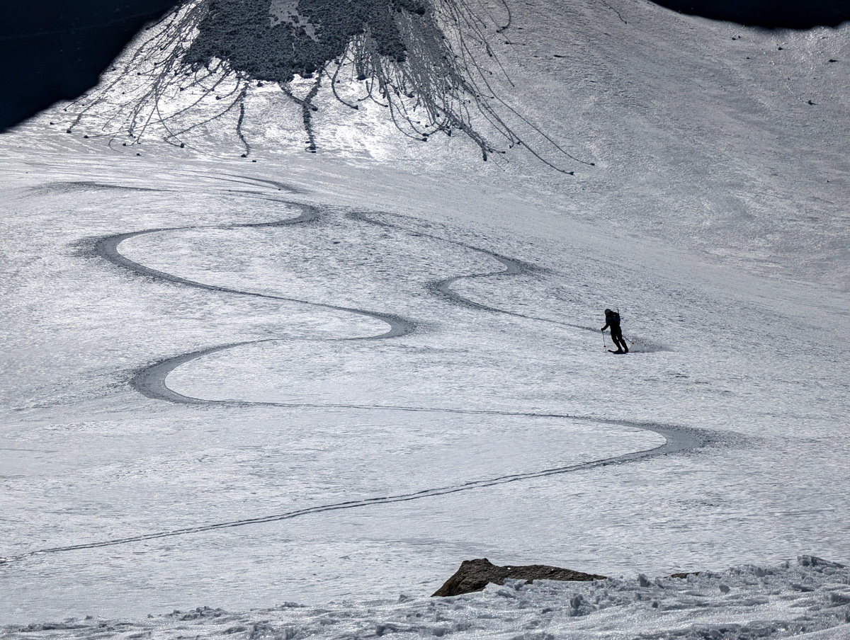
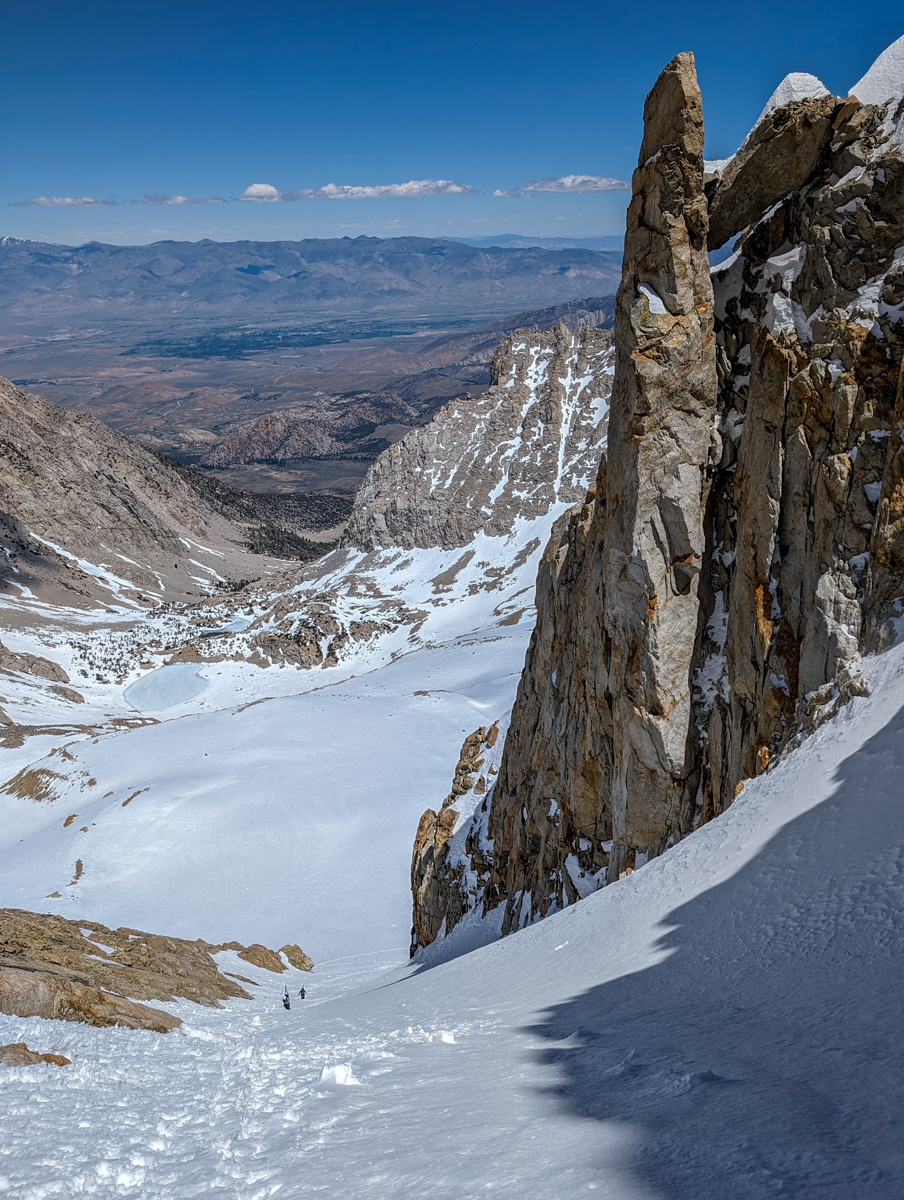
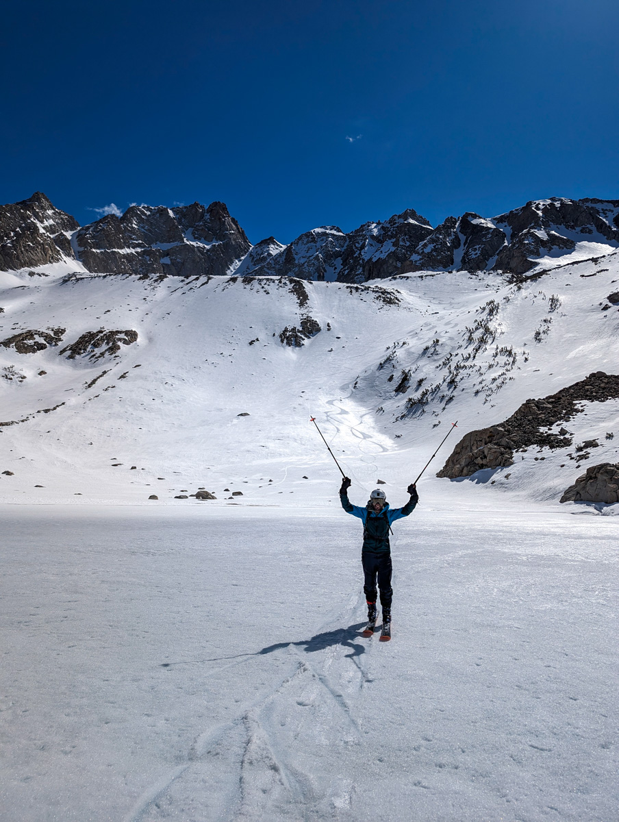
I then crossed the slide and slid smooth corn down to an awaiting Greggy at the base of the middle East Couloir.
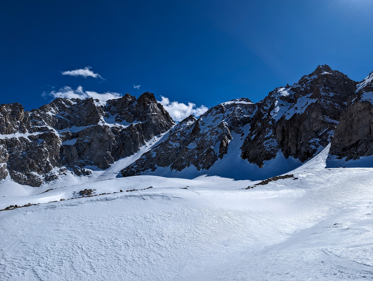
Dobbs showed up shortly thereafter and we party skied down to Longely Lake in the best corn of the season!
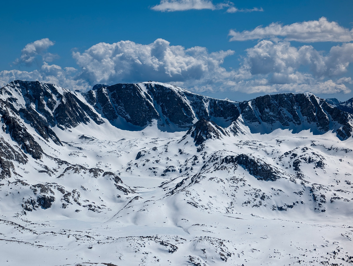
We’ve been going hard and high in search of good snow and haven’t quite found it yet.
This corny consultation prize tasted delicious.
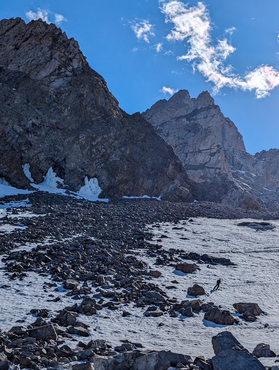
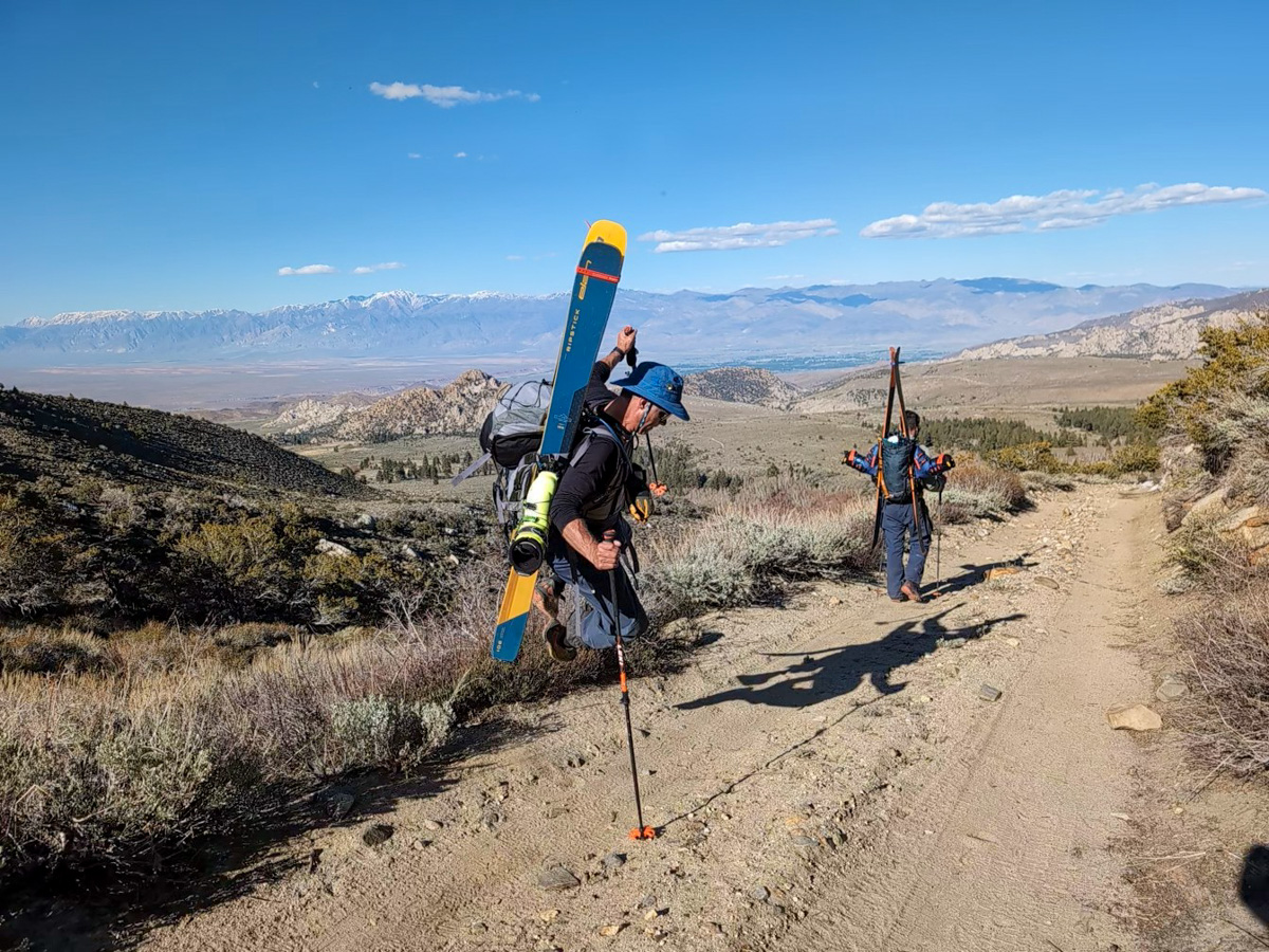
Past Longely Lake there’s a bit of up and down and bushwhack and we skied down to 9,800′.
Shoes on felt so good…
About an hour of trail bopping and snow walking later, we were back at the car.
I was elated.
I loved every minute of it.
Every challenge of it.
We never saw another human the entire day.
I told the guys in the car as we bounced down in 4×4 low, “These are the good old days!”
I meant it.
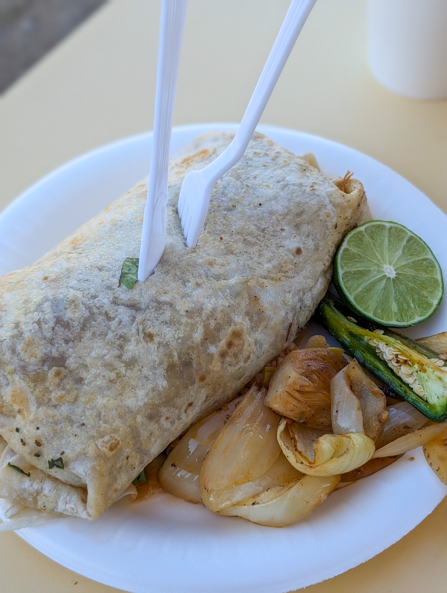
4x4ing, big mountains, no one around, amazing skiing, insane vistas, delectable burritos, and unforgettable friends in human bodies that can still achieve such feats.
These are the good old days.
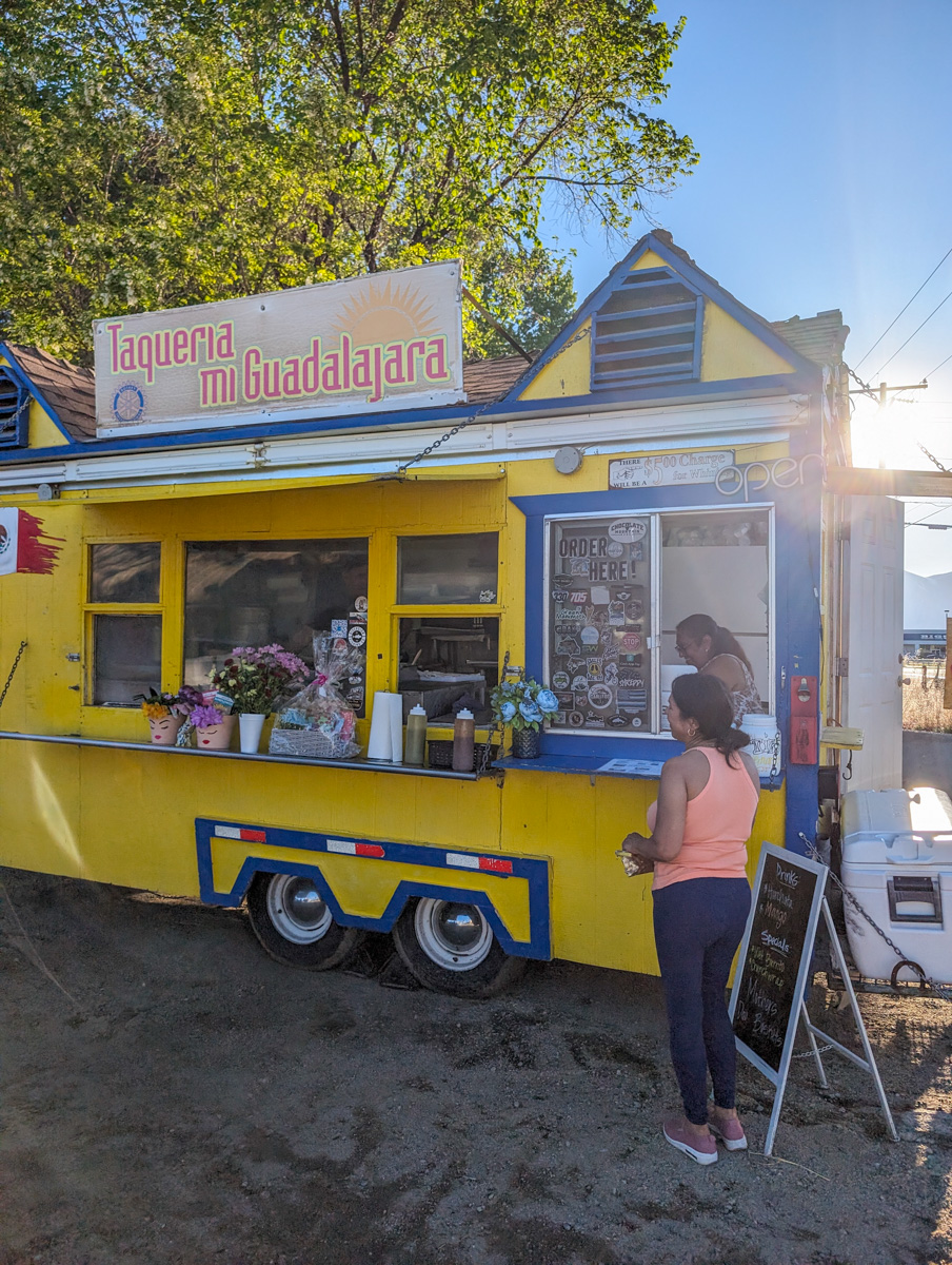
Taqueria Mi Guadalajara taco truck was the best Mexican food we’ve ever had, again.
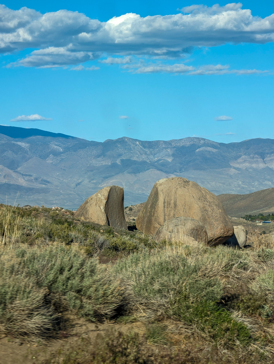
Thanks, California!
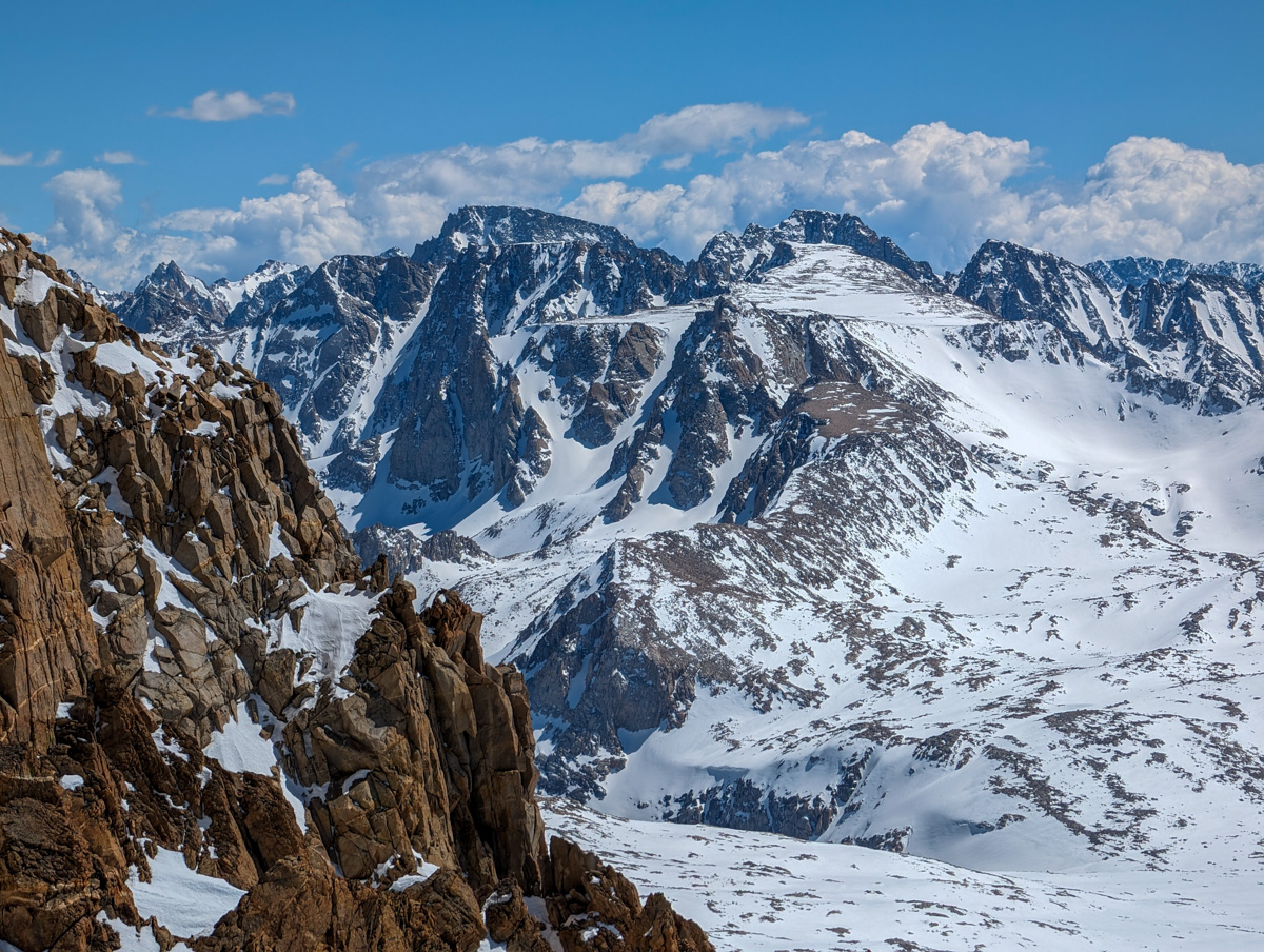
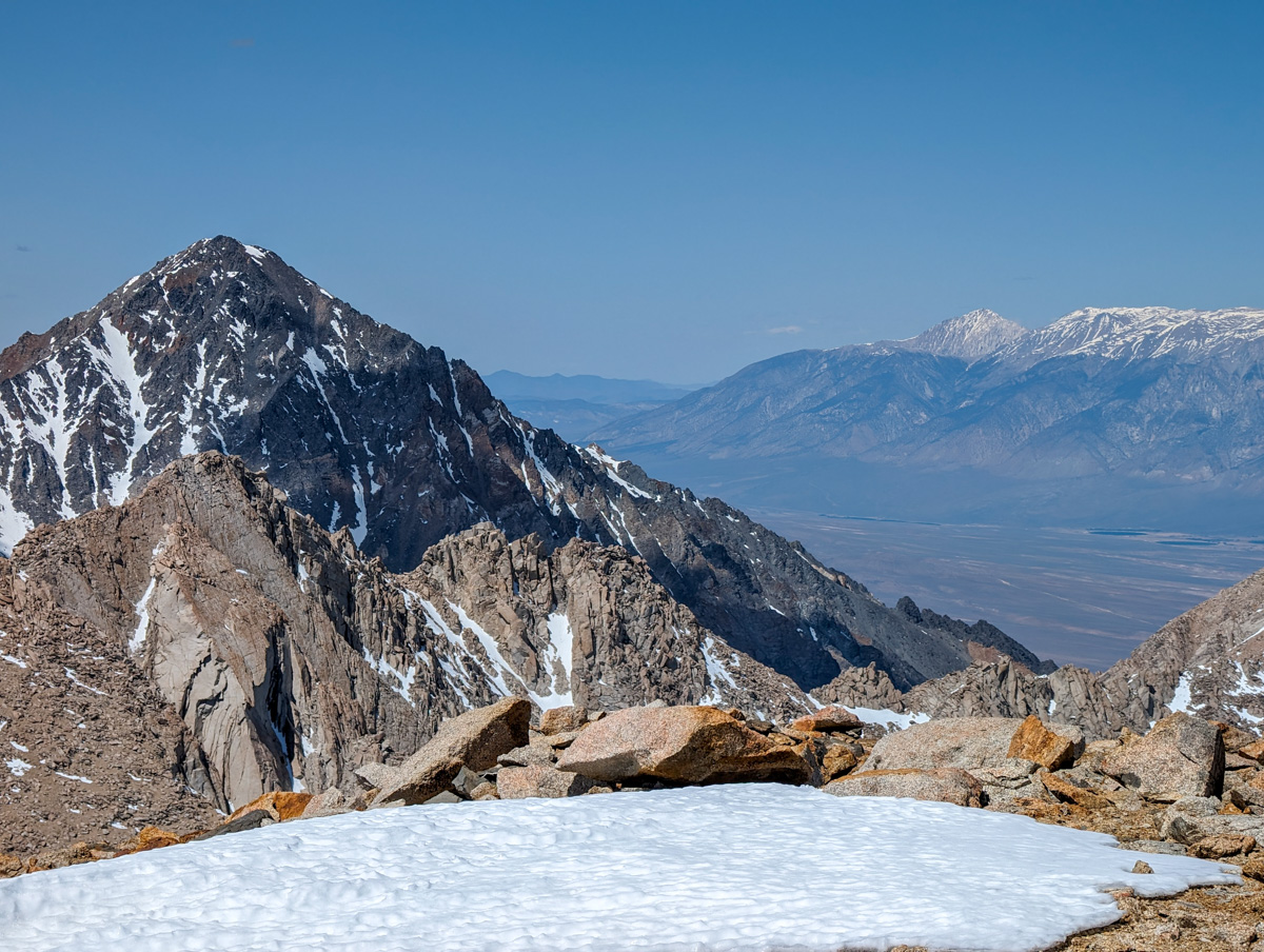
Photos in Chronological Order