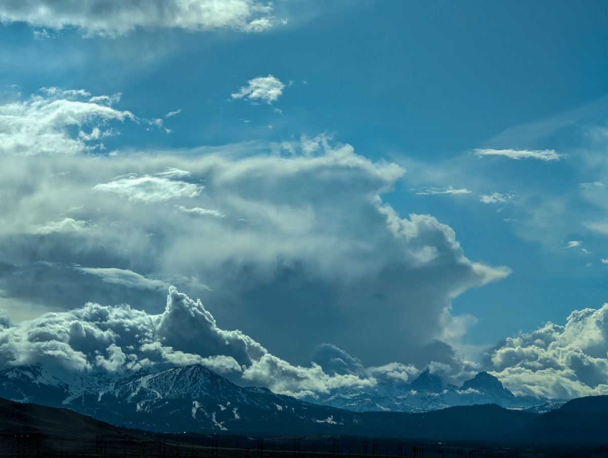
Report from May 3, 2024
We went for a big walk yesterday.
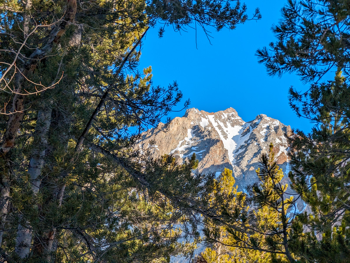
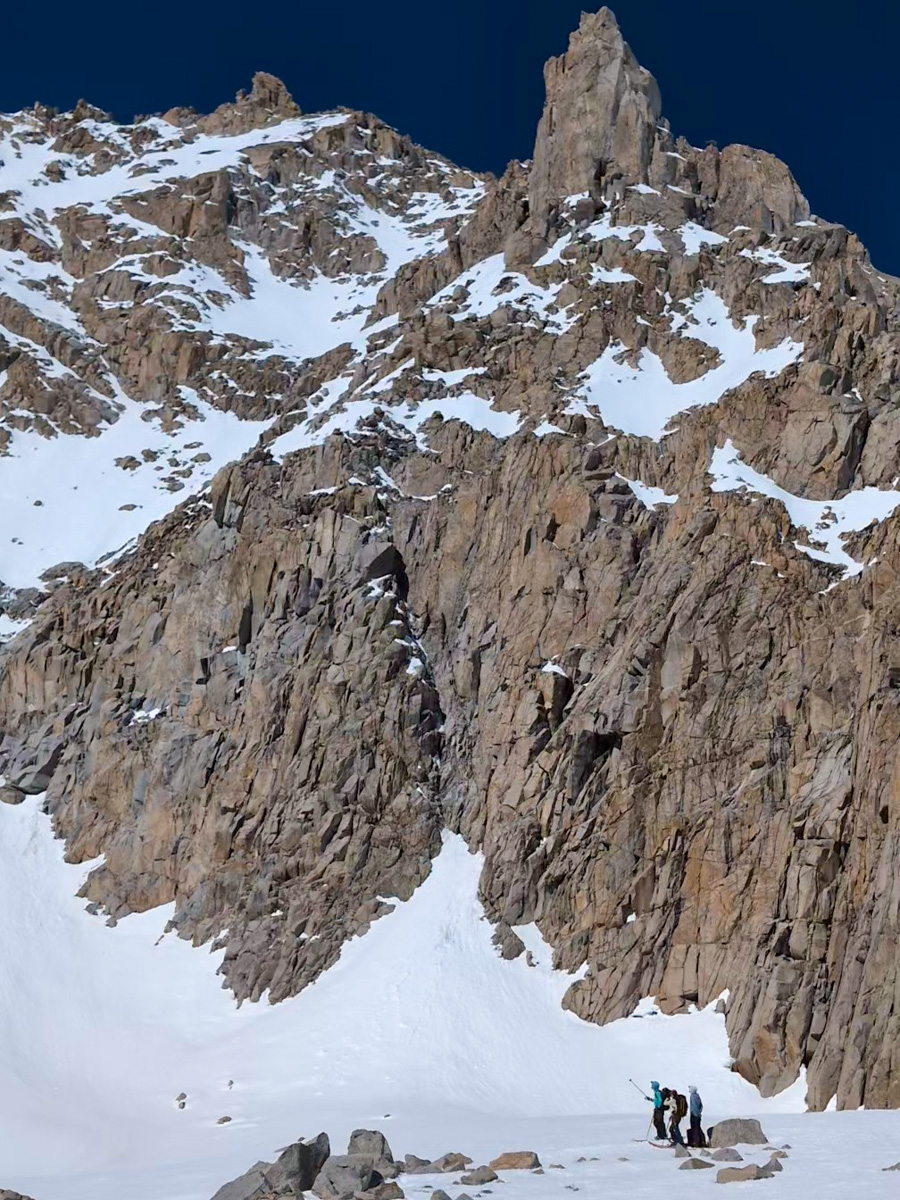
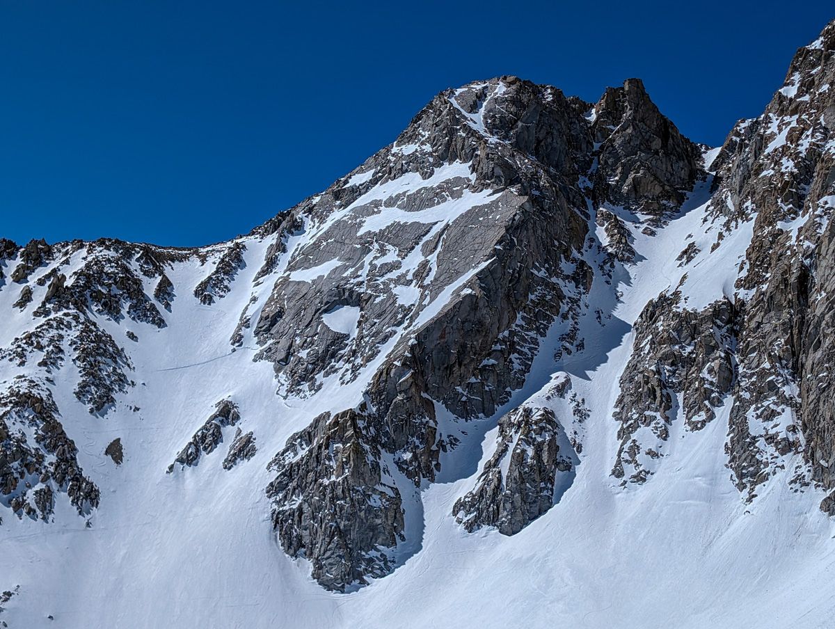
The goal was to ski the North Couloir of 13,280-foot Mt. Lamarck, California.
A classic beast that has haunted my imagination for many years…
“Valdezean Amor Couloir”
Lamarck Creek Basin
Sierra Nevada Mountains, CA
- Summit (actually a ridgeline): 13,200 feet
- Car: 9,300 feet
- Vertical From Car: 4,600 feet
- Vertical skied: 1,000 feet in the chute (combo of good skiing and bushwhack skiing for another 3,000 feet of vertical after the chute)
- Max Pitch: 45+º
- Average Pitch: 40º?
- Aspect: Northeast
- Distance: 12-miles round trip
- Time From Car to Summit: 5 hours & 51 minutes
- Car to Car Time: 8 hours & 53 minutes
- Recommended Equipment: crampons, ice axe x2, skins

I’d just arrived the previous day, May 2, 2024, and I wanted to jump in right where I left off last year.
Last year I did the Eastern Sierra Blackjack Project (21 new to me ski mountaineering lines) and my confidence in this terrain grew exponentially.
I was hungry for more and Lamarck is a necessary classic.

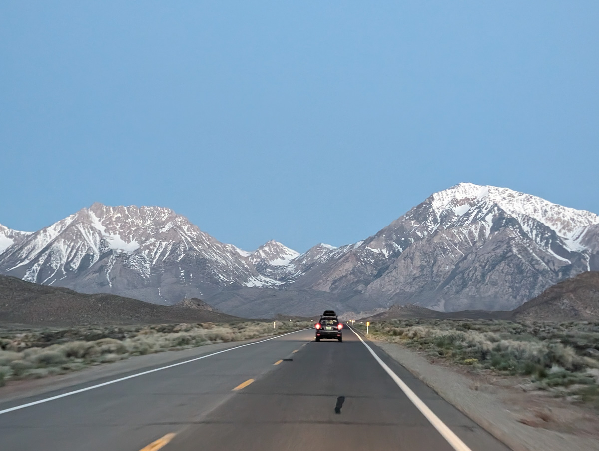
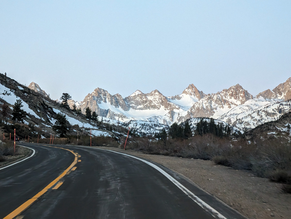
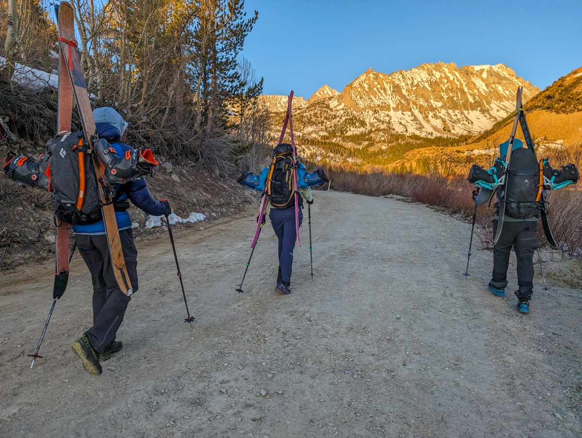
We started hiking about 6 a.m. from North Lake.
20 minutes of shoe walking on roads delivered us to the trailhead.
After a few more minutes, we hit snow.

We kept our shoes on a bit longer, slipping and sliding all over the place.
Skins on and upward.
We ran out of snow once and walked the trail to Lower Lamarck Lake.
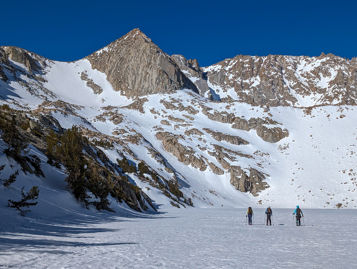
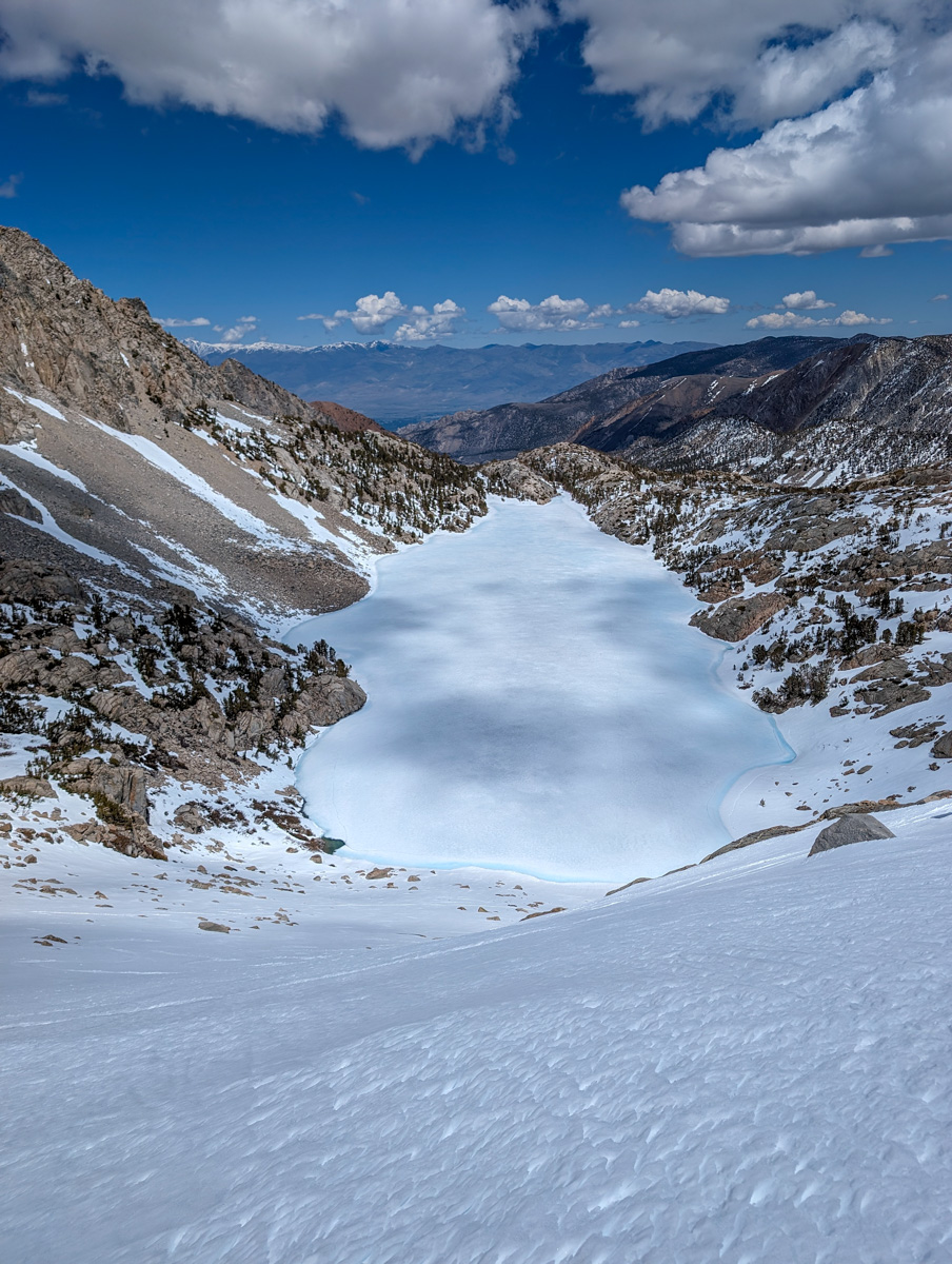
Back on the snow, we skinned up to Upper Lamarck Lake.
All the lakes we encountered exhibited deep ice, and we skied directly across them.
The Upper Lamarck Lake headwall was steep and slippery, and it was clear it would ski great on our way home.
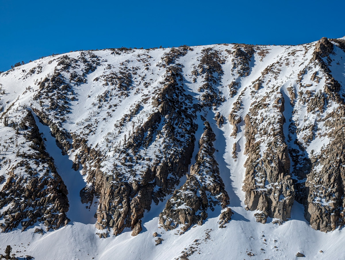
We then flowed through the rocks and snow of the moraines towards the bottom of Mt. Lamarck.
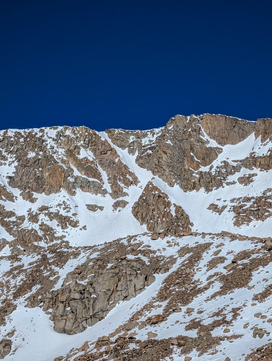
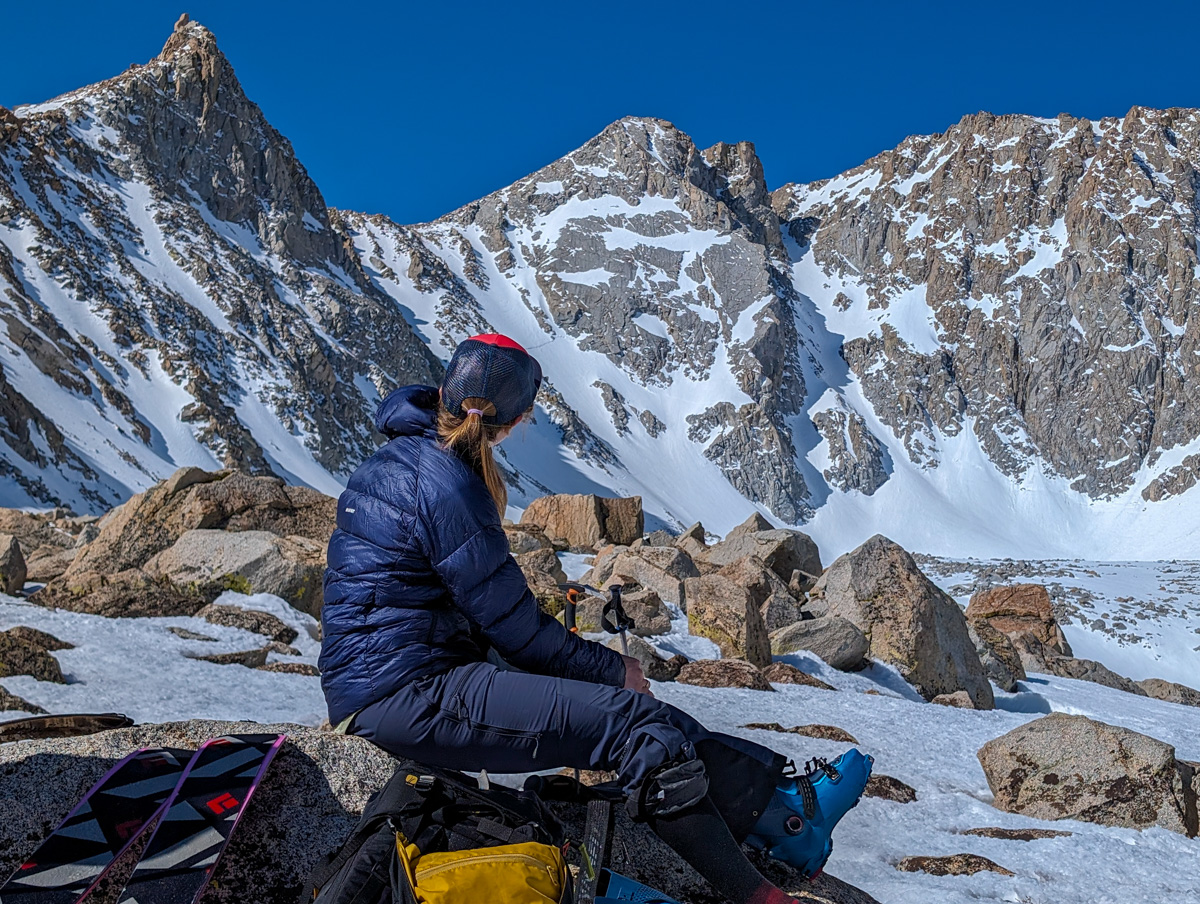
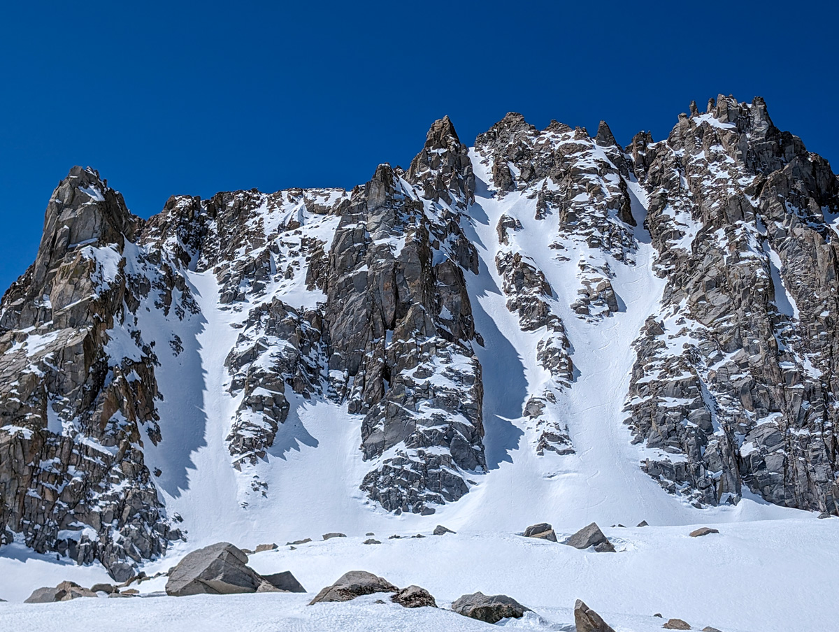
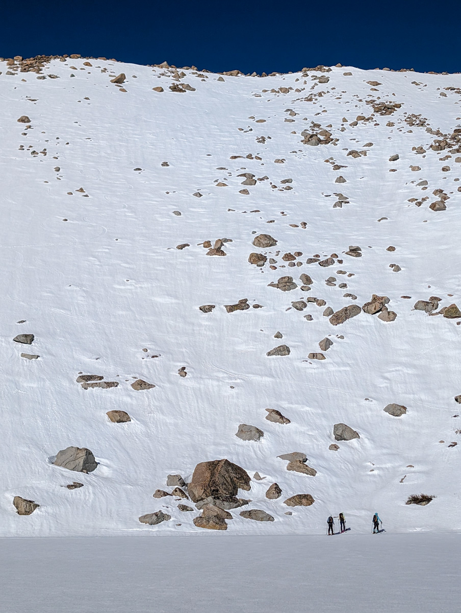
We stood and stared at the chutes for 20 minutes.
The north-facing chutes off Lamarck looked firm and winded.

The old tracks told stories of skiers battling bad snow with no flow survival turns.
We’d seen a big dogleg chute up higher that faced northeast and would be corny.
We quickly changed plans, shifted gears, and continued up.

I was exhausted skinning up the apron.
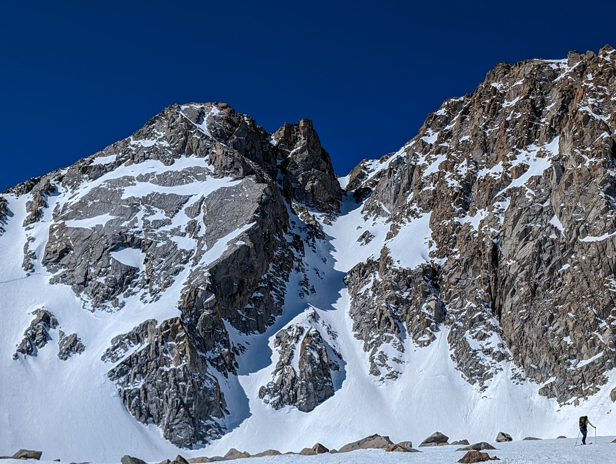
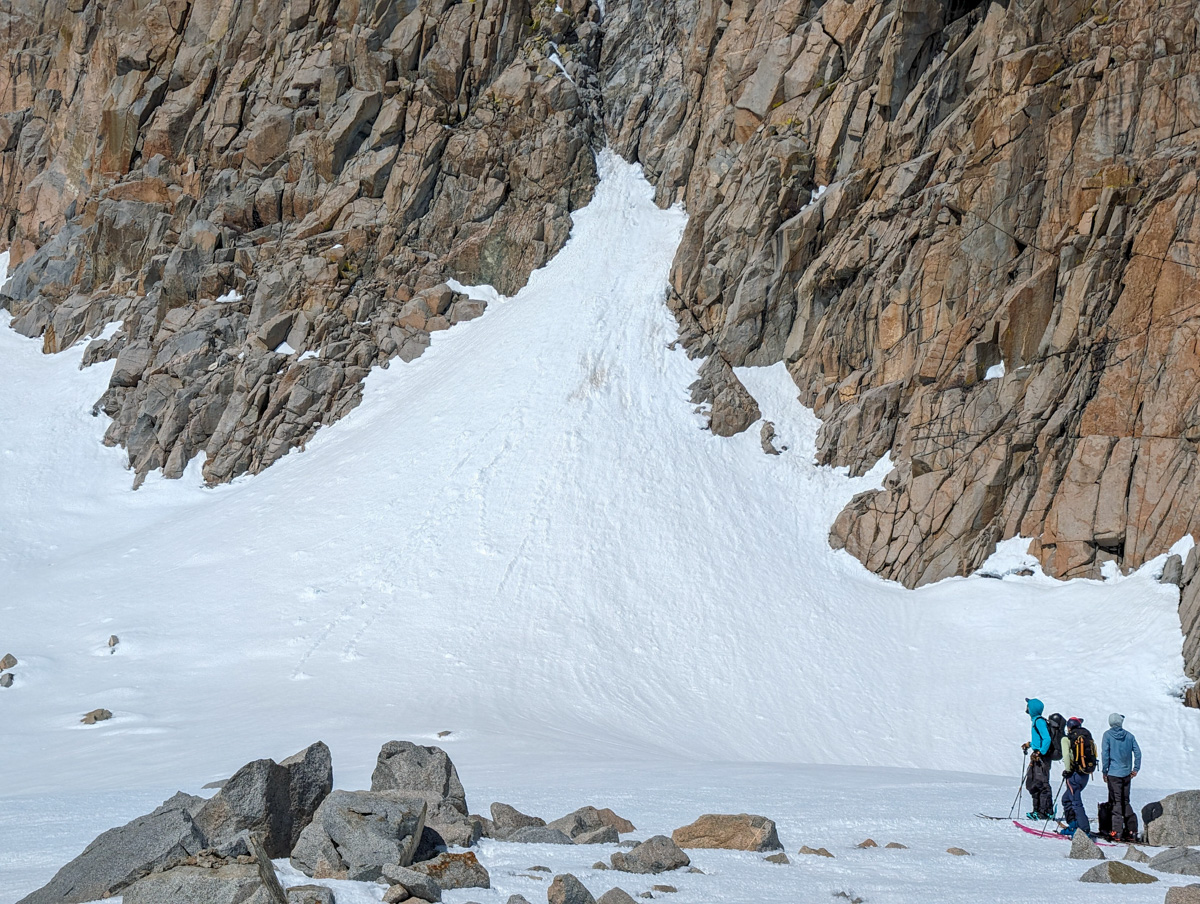
Near the chute we were going for were some more chutes that were striking and rigid.
We made a loose plan to come back for them after the first chute.

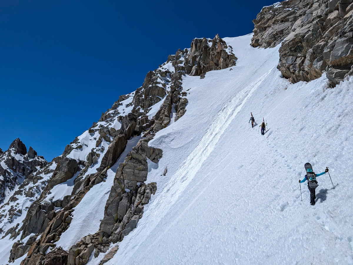
The corn snow in the chute proper was boot-top deep and challenging to boot up.
Luckily for me, my partners (Hannah, Lee, Garrett) are beasts and put the entire bootpack in (thank you!).
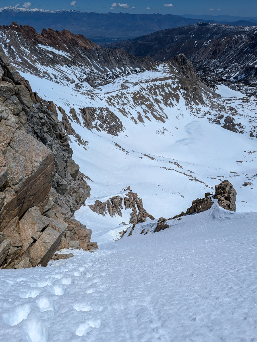
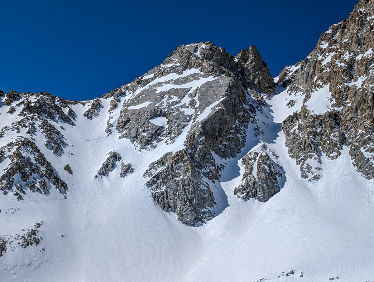
The chute was steep and Alaskan, with rollovers that exceeded 45º.
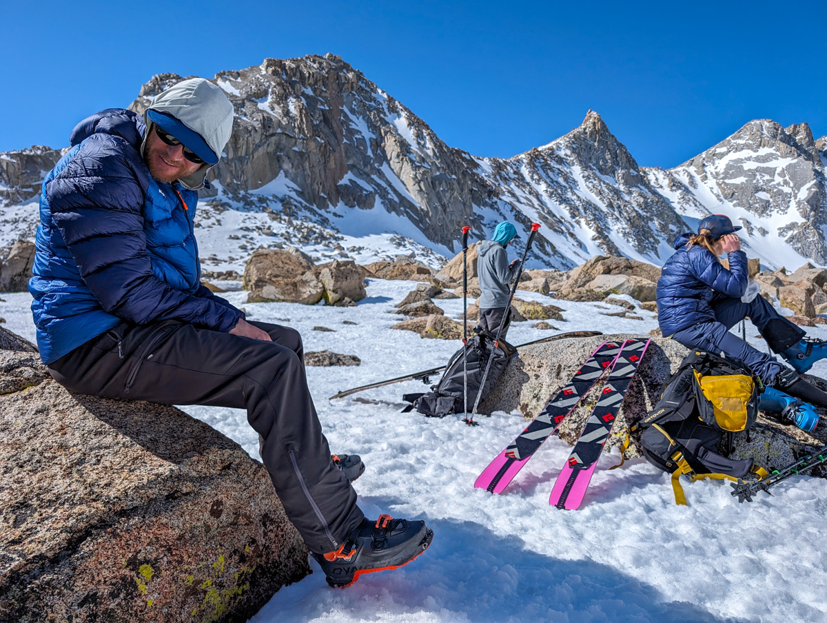
On top, at 13,200 feet, we reveled in the view, the warmth, and the lack of wind.
We were worried about the sluff.
The chute is slightly off the fall line, and if you fall, it’s gonna push you off the cliffs on the right.

No fall zone.
Alaska style ramp.
The lower chute offered two options.
Stay in the fall line chute with an aspect change towards the east.
Traverse skiers left and slash down the secondary ramp with big exposure on the right (where we booted up).
Garrett chose the former.
I chose the latter.
The latter, combined with the top, felt very Valdezean (as in Valdez, AK, where I was skiing with two other Valdez, AK, heli-ski guides).
So, we called it “Valdezean Amor Couloir” since we couldn’t find any documented name for this Bad Larry.
Ripping fun turns with the exposure, sluff dumping to the right, features whizzing by, bowling ball rollover wahoos.
Pure joy!
From a distance, the chute looked flat.
Once we were in the chute booting up, we realized the thing was damn steep.
Our fear of sluff was unfounded as Garrett’s initial turns produced very little moving snow, and that snow had no power or speed.
We grouped up at the bottom to scream joyful obscenities and double high-five.
A bit of up and down got us through the moraines and onto the edge of the Upper Lamarck Lake headwall.

The headwall skied like a dream.
Perfect, splashy corn with speed held directly onto the lake.
Skating for a 1/2 mile across the lake was a true test of cardio.

I lost that race…
Down to Lower Lamarck Lake and another cardio skate.
From there, it was a 1,000-vertical-feet Mario Kart tree and rock dodging back to our shoes.

400 more vert down, and we switched to shoes and shorts.
Shoes and shorts felt sublime.
30 minutes later, we were back at the car.

We rumbled down to Bishop and inhaled burritos and tacos at the Taqueria Mi Guadalajara food truck.
My Al Pastor burrito was spectacularly delicious.
Back up to Mammoth and a shift into high gear on the recovery train.

Wow, what an amazing day.
It’s gonna be an unbelievable month.
Thanks, California!
Photos in Chronological Order

