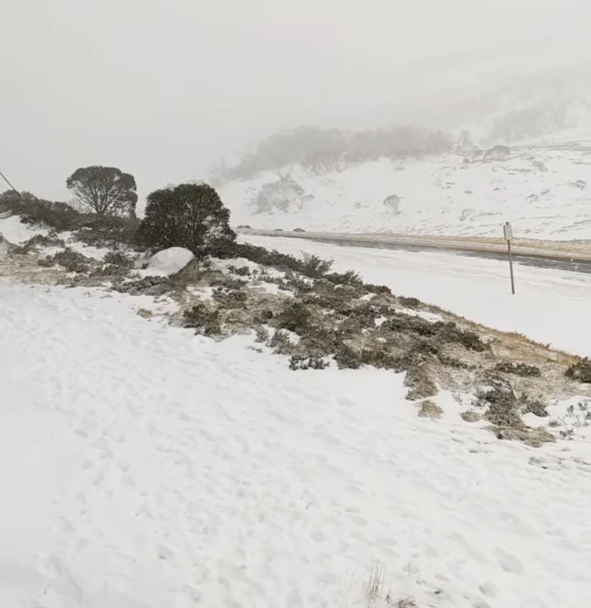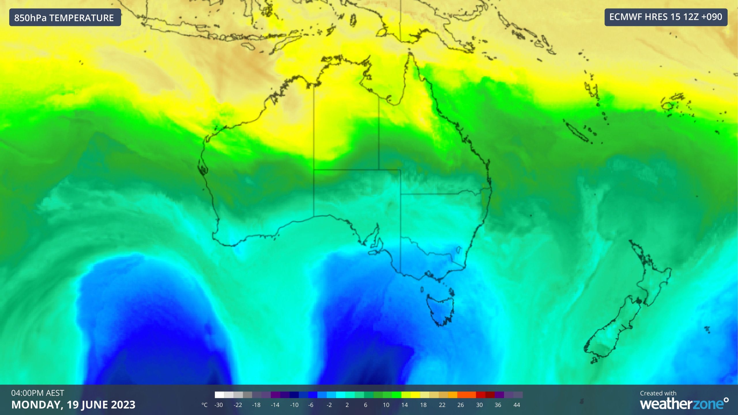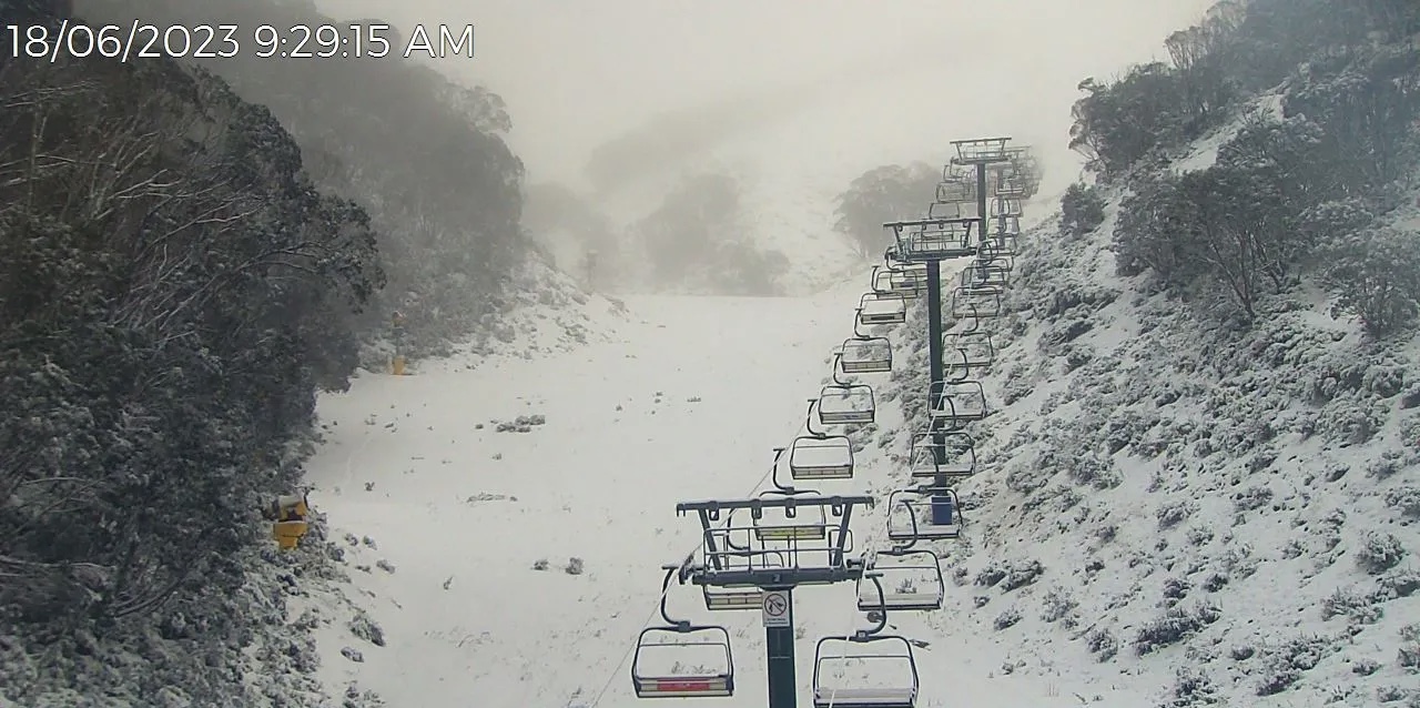
Two consecutive cold fronts are heading for the Australian Snowy Mountains, bringing much-needed snow to the alpine ranges. The first cold front will hit on Sunday, June 18, 2023, and last until Monday. Snow forecasts range from 20cm (8 inches) to 43cm (17 inches) for those two days, and snow is expected down to 900m (2,950ft) above sea level.

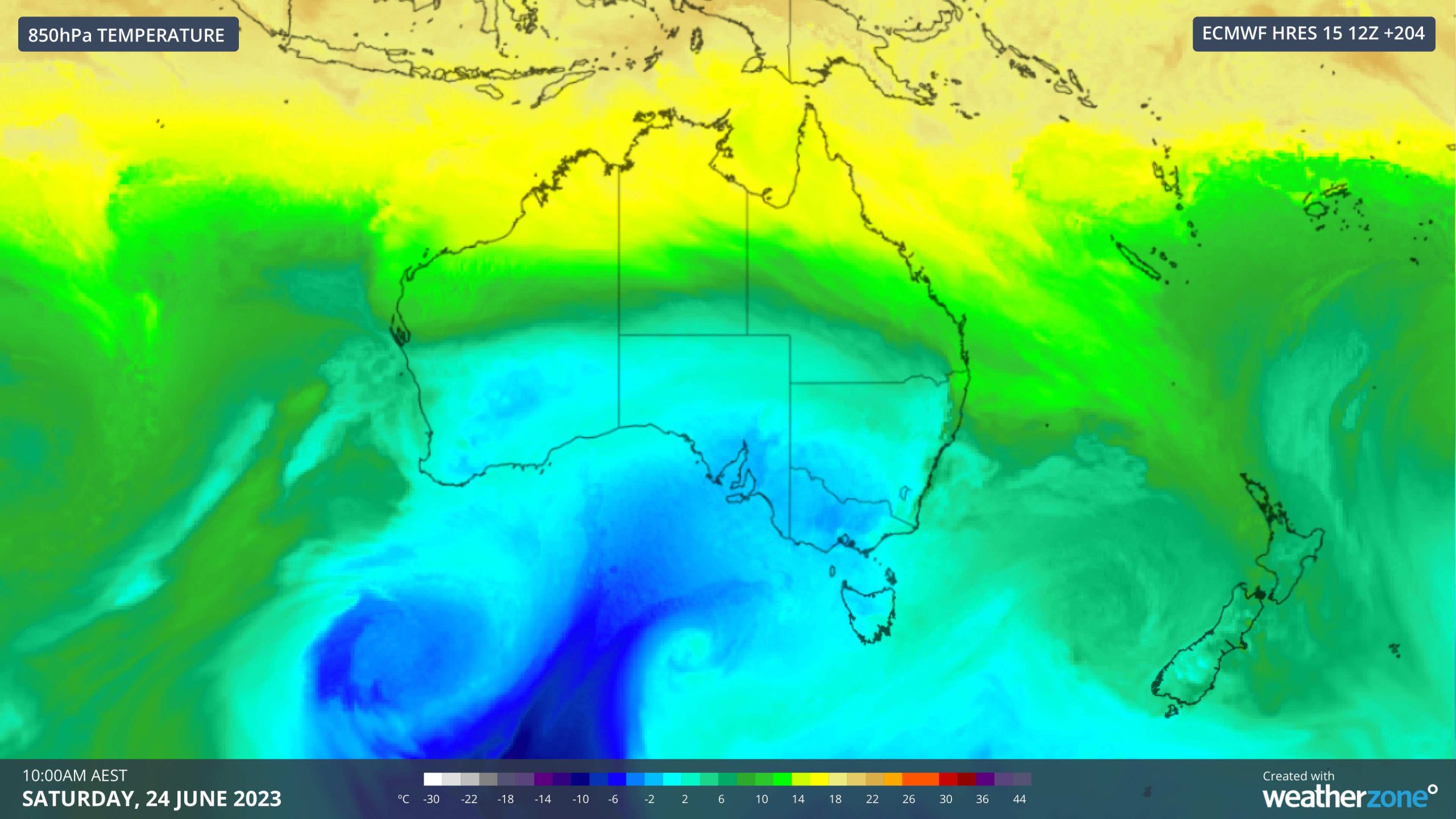
The second cold front will hit on Thursday, June 22, 2023, and could bring snow into the weekend, potentially carrying up to 40cm (16 inches) – 80cm (31 inches) of snow. However, models this far out are highly variable.

Either way, there will be snow next week, and any snowfall in this range should set up the Australian ski resorts nicely for the upcoming school holidays. Things are looking brighter since Opening Weekend, and the Australian Bureau of Meteorology forecasts some cold nights over the next seven days, enabling snowmaking across the resorts.
Even though it looks like we are moving into El Niño territory, which brings higher maximum temperatures, the lower cloud cover associated with those periods typically leads to cooler nighttime temperatures during winter and spring, particularly across the Snowy Mountains. That region can experience 15–30% more frost days during El Niño than the historical average. According to the Australian Bureau of Meteorology, the all-time cold record of −23.0°C (-9.4°F) was observed at Charlotte Pass, New South Wales, on June 29, 1994, which was an El Niño year.
