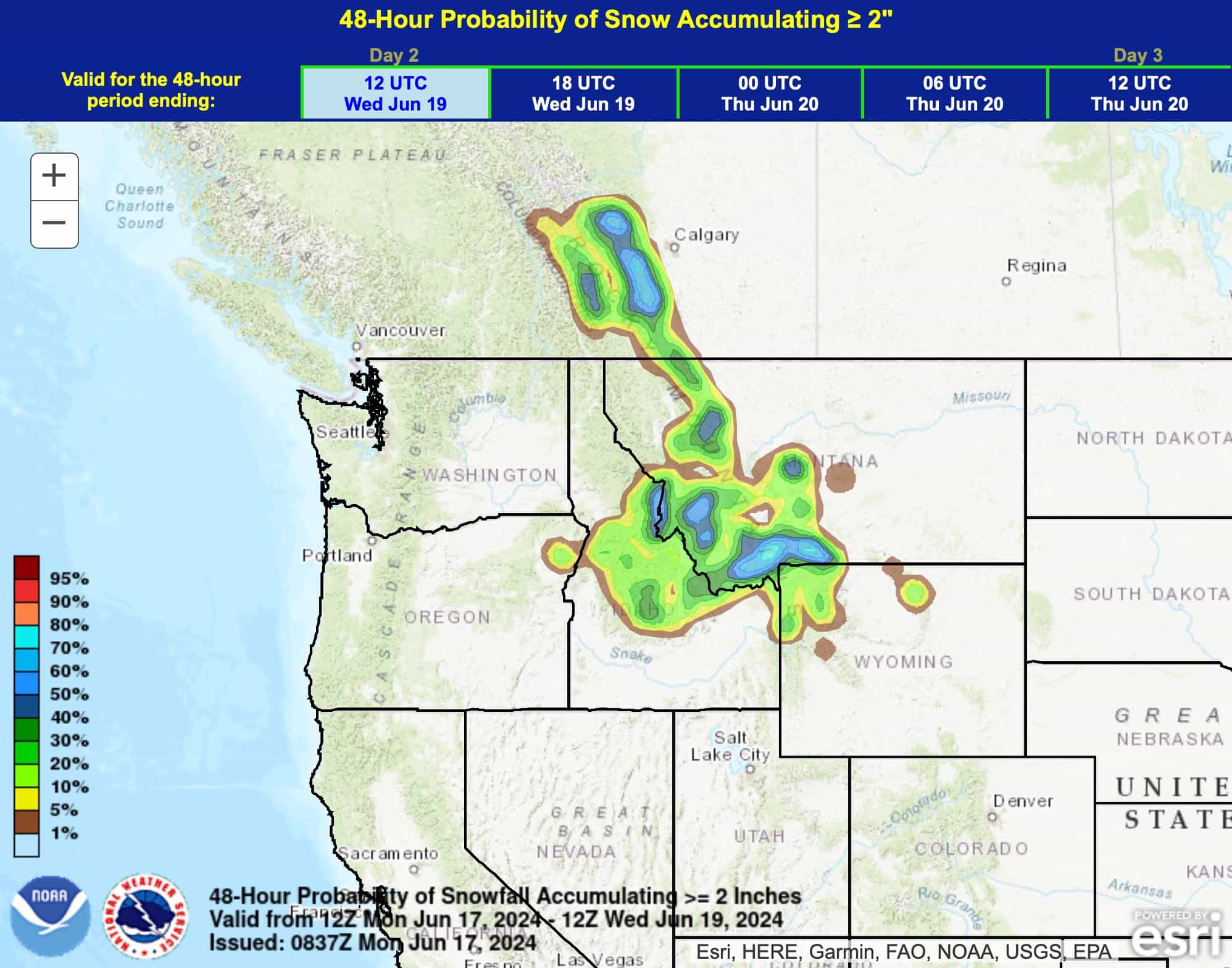
While the rest of the country is sweating it out in a potentially historic heatwave, the high elevations of the West are about to get blasted with a late-season winter storm that’ll have you dusting off those powder skis. Winter Storm Warnings have been issued for large areas of the Montana and Idaho mountains, with forecasts predicting snow accumulations of up to a foot in higher elevations.
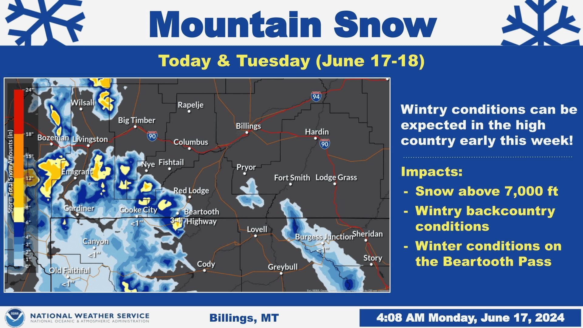
...WINTER STORM WARNING IN EFFECT FROM MIDNIGHT TONIGHT TO 6 AM MDT
TUESDAY...

* WHAT...Heavy snow expected. Total snow accumulations 1 to 4 inches
  Butte to Anaconda, 2 to 5 inches at Ovando, Georgetown Lake,
  Macdonald Pass, and Homestake Pass. 5 to 14 inches in the higher
  terrain.

* WHERE...Southwest Montana.

* WHEN...From midnight tonight to 6 AM MDT Tuesday.

* IMPACTS...Backcountry travel will be very difficult. Snow on trees
  could cause breaking branches and power outages. There will be two
  periods of snow in the valleys, one Monday morning and the other
  Monday night.

PRECAUTIONARY/PREPAREDNESS ACTIONS...

If you must travel, keep an extra flashlight, food, saw, and water
in your vehicle in case of an emergency. The latest road conditions
for the state you are calling from can be obtained by calling 5 1 1.

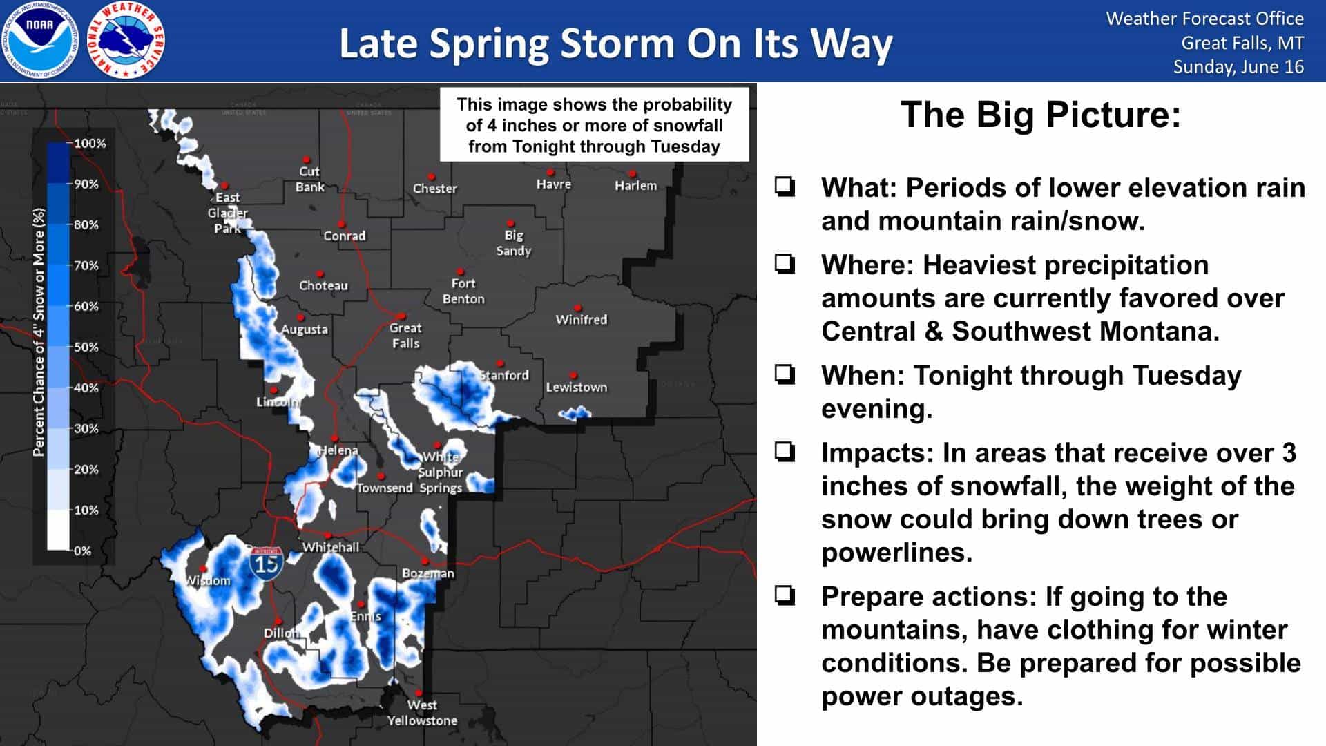
According to meteorologists, a cold upper-level low moved into the Pacific Northwest over the weekend and is now headed towards the Intermountain West for the start of the workweek. This weather system has set the stage for heavy snowfall in the northern Rockies, with Winter Storm Watches in effect from Monday into Tuesday.
“Heads up mountain travelers: A Winter Weather Advisory is in effect from 3 PM MDT this afternoon to 6 PM MDT Tuesday for the Beartooth Highway. Plan on slippery road conditions in the high country during this time.”
– NWS Billings Montana

The National Weather Service forecasts 2-4 inches of snow for Lost Trail Pass, 4-8 inches above 6,000 feet in Glacier National Park, and a staggering 6-12 inches in the Sapphire and Bitterroot ranges. Iowa State University’s Iowa Environmental Mesonet reports that this is only the sixth June since 2005 to have a Winter Storm Watch issued in Montana, highlighting the rarity of such an event.
“A late spring storm will bring snow to the mountains starting tonight and then continuing into the day on Tuesday. The heaviest snowfall should fall over Central and Southwest MT. Plan ahead for winter conditions if going to the mountains.”
– NWS Great Falls Montana
However, this “summer” chill is expected to be short-lived. Long-range forecasts indicate temperatures quickly returning to seasonal averages by the end of the week, with the potential for hot weather looming after next weekend.