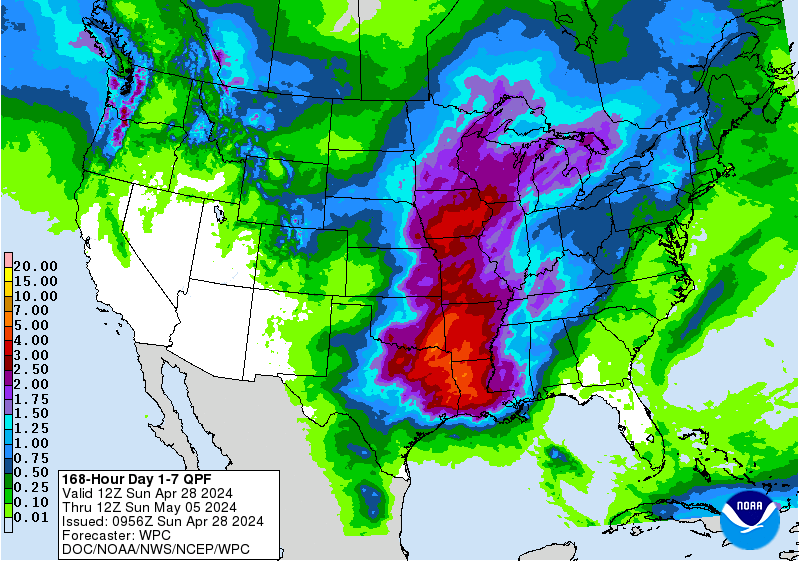
The National Weather Service has issued a Winter Storm Warning for Wyoming. It is in effect through Saturday afternoon at 5:00pm. High winds are expected to accompany this snowfall, so watch for drifting and blowing snow on the roads.
1-2+ FEET of Snow Through Saturday Afternoon In Wyoming.


A cold front is expected to arrive with this plume of pacific moisture, so snow is forecasted to fall at all elevations, with the highest accumulations in the mountains.
Additional Storm Info:


Wyoming: 1-2+ FEET of Snow Through Saturday Afternoon
* Total snow accumulations of 14 to 24 inches,
  with localized amounts up to 32 inches, are expected.
- NOAA Riverton, WY


WY Winter Storm Warning:
URGENT - WINTER WEATHER MESSAGE
National Weather Service Riverton WY
233 AM MST Fri Dec 29 2017

...Moderate to Heavy Snow Returning to the Northwestern Wyoming
Mountains...

.A plume of Pacific moisture along with a couple of embedded
disturbances will bring periods of moderate to heavy snow as well
as blowing snow to the northwestern mountains and valleys and
northern mountains through the day Saturday.

Teton and Gros Ventre Mountains-

...WINTER STORM WARNING REMAINS IN EFFECT UNTIL 5 PM MST
SATURDAY...

* WHAT...Heavy snow and blowing snow expected. Travel will be very
 difficult at times across the passes, including during the
 morning commute. Total snow accumulations of 14 to 24 inches,
 with localized amounts up to 32 inches, are expected. Winds will
 gust 30 to 50 mph at times across the higher passes and ridges.

* WHERE...Teton and Gros Ventre Mountains.

* WHEN...Until 5 PM Saturday.

* ADDITIONAL DETAILS...Winds gusting as high as 40 mph will cause
 areas of blowing and drifting snow. Be prepared for drifting of
 snow and significant reductions in visibility at times.