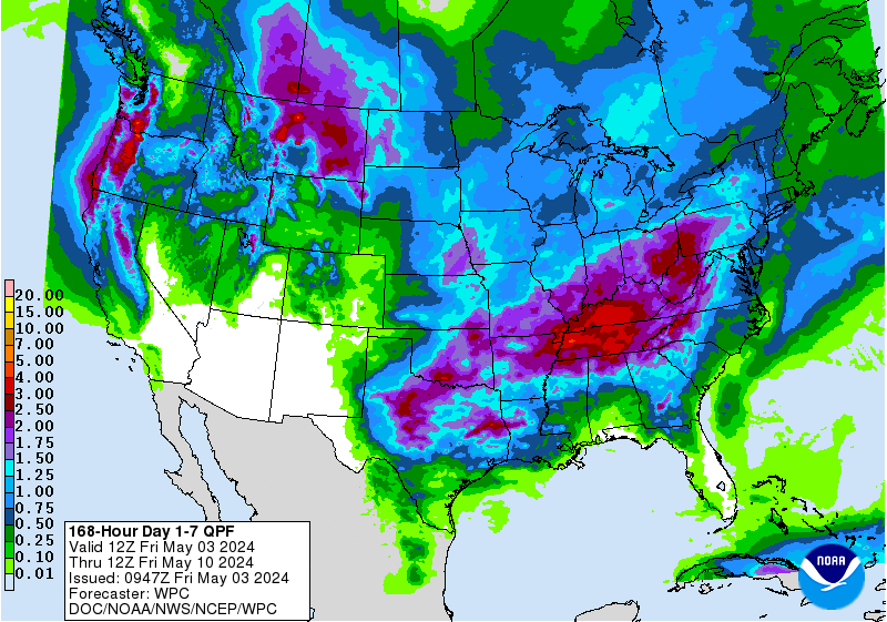
As of late, Colorado has experienced persistent warm temperatures and below average precipitation. This could change though, as the extended forecast is calling for Below Average Temperatures & Above Average Precipitation in the area. The National Weather Service is forecasting that this pattern will set in around or just after Christmas.

The week long precipitation outlook is calling for a fair amount of precipitation in Colorado, but nothing substantial. A few inches of snow here and there with some colder weather that moves through occasionally.
Extended Forecast Details:


The 6-10 day outlook is calling for slightly Above Average Temperatures & Above Average Precipitation. This is a glimmer of hope, as the high country is expected to see some snowfall. Especially this morning, as resorts are expected to have seen 2-5″ of snow by mid-morning.
* Snowfall accumulations will be 2 to 5 inches in the mountains
  and 1 to 3 inches over adjacent plains and Palmer Divide by
  mid Thursday morning.
- NOAA


This is exactly what we’re looking for, as the 8-14 day outlook is calling for Above Average Precipitation & Below Average Temperatures in Colorado. It’s been a tough start to the season in Colorado, but the tables are expected to turn by the time Christmas rolls around.
CO Hazardous Weather Outlook:
Hazardous Weather Outlook
National Weather Service Denver/Boulder CO
1048 AM MST Wed Dec 13 2017

This hazardous weather outlook is for northeast and north central
Colorado.

.DAY ONE...Today and Tonight

a cooler airmass has moved into the forecast area today.
Northwesterly winds up to 40 mph are expected on the plains this
afternoon and tonight. A cold front is expected to push southward
across the forecast area late this evening, with northerly flow
behind it. Light snow is likely in the mountains, foothills and
adjacent plains this evening into Thursday morning. Snowfall
accumulations will be 2 to 5 inches in the mountains and 1 to 3
inches over adjacent plains and Palmer Divide by mid Thursday
morning. Roads will become icy and snow packed overnight into
Thursday morning.

.DAYS TWO THROUGH SEVEN...Thursday through Tuesday

Thursday mornings commute may be affected due to the overnight
snowfall, decreasing snow showers and cold temperatures. Storm
total snow amounts will be in the 2 to 6 inch range for the
mountains, and 1 to 2 inches for the urban corridor and Palmer
Divide. Strong northerly winds will develop over the eastern
plains by Thursday afternoon, with gusts to 30 to 50 mph. This
could impact light and high profile vehicles traveling on east to
west oriented roads.

After a warmer and dry day on Friday, another system will move
into the forecast area this weekend with snow likely and colder
temperatures.