Report from March 6th, 2019
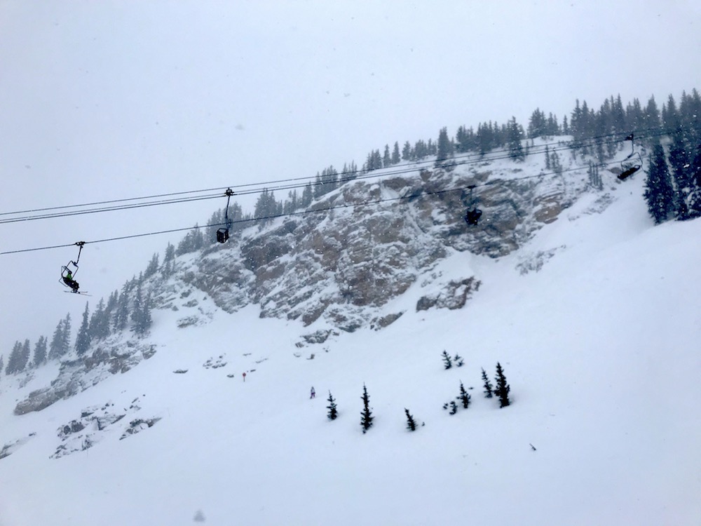
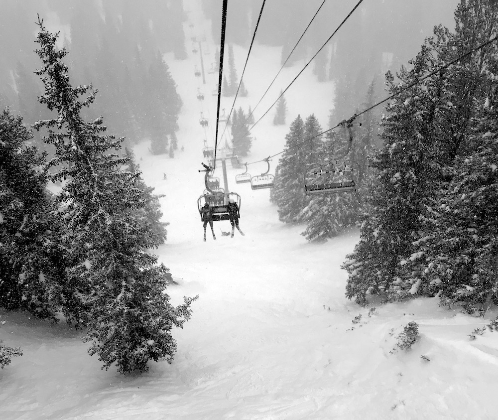
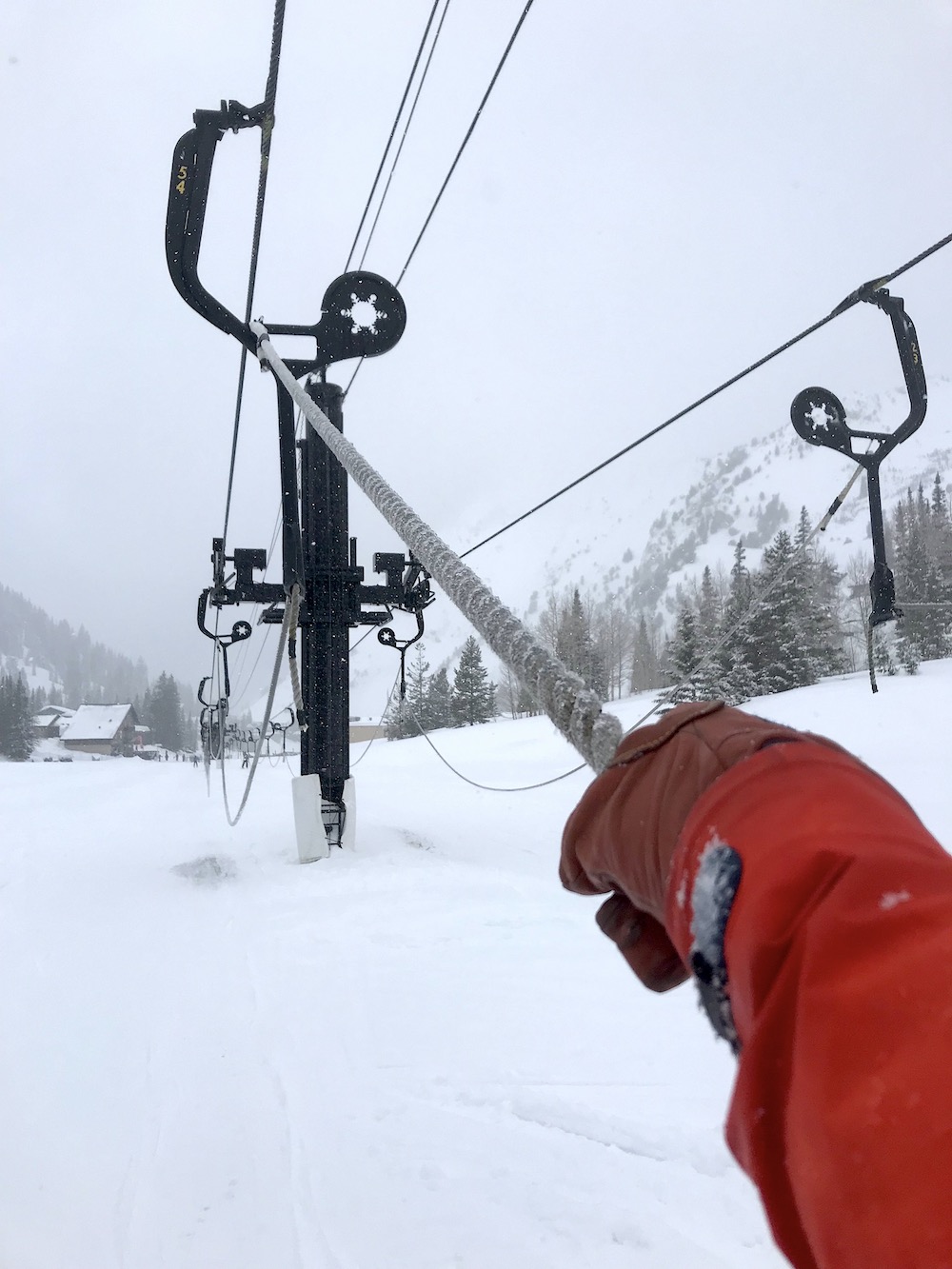
“Supreme comes from the Latin ‘Supremus’ meaning Highest” read the sign at the bottom of the Supreme lift.
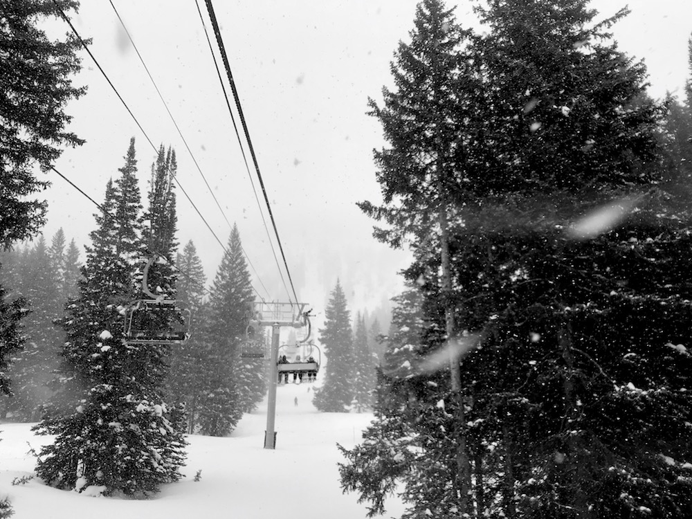
I turned it over in my mind as I rode up the lift, pulling my neck gaiter up a little higher to keep the falling snow off my face.
It was no use.
It was snowing too hard.
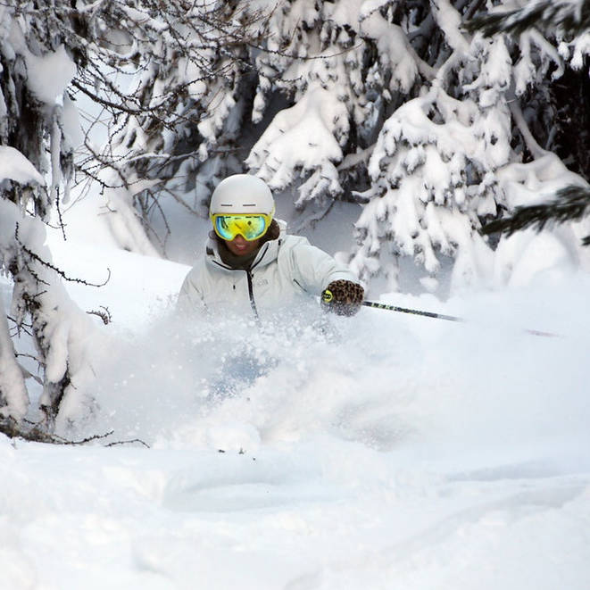
Snow infiltrated every nook, cranny, and crease in of my face, beard, and powder-eating grin.
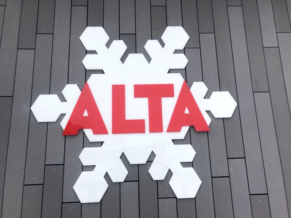
I don’t know Alta Ski Area in Utah well.
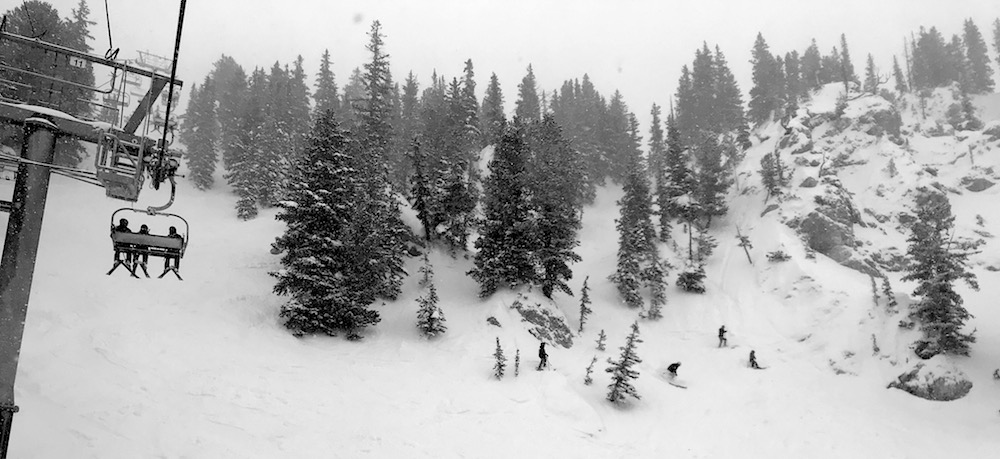
So, I lost myself skiing lap after lap under the Supreme chair today.
Very few humans on the chair.
No lift lines.
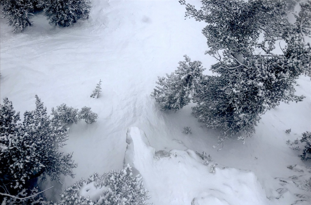
Lap after hilarious lap of ever-deepening powder.
Runs that were ok at 9am were soft and ripping by 1pm.
My friend and longtime local said this aprés ski:
“4:30 was nuts. Knee deep graupel pow.”
Knee deep graupel pow is a good thing.
Every run you could go a little faster as the snow became more responsive and fun.
Every run was better than the last.
Can’t wait to get back out there tomorrow.
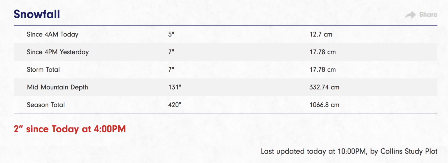
Alta has already seen 420″ of snowfall this season and there is more on the way.
* WHAT...Snow. Additional snow accumulations of 2 to 5 inches for the central
and southern Utah mountains, with an additional 4 to 8 inches for the northern
Utah mountains. Locally higher amounts up to 1 foot possible in the Cottonwoods.
Winds gusting to 40 mph at mid- elevations.
- NOAA SLC, UT today
SNOW NUMBERS:
FORECAST:
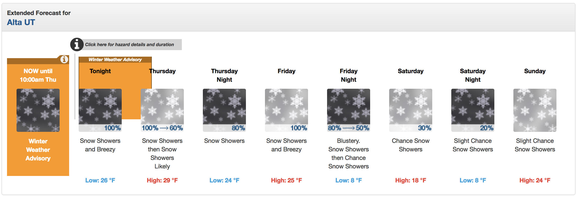
Winter Weather Advisory for Utah
URGENT - WINTER WEATHER MESSAGE
National Weather Service Salt Lake City UT
710 PM MST Wed Mar 6 2019

Wasatch Mountains I-80 North-Wasatch Mountains South of I-80-
Western Uinta Mountains-Wasatch Plateau/Book Cliffs-
Central Mountains-Southern Mountains-
Including the cities of Woodruff, Randolph, Alta, Brighton,
Mirror Lake Highway, Scofield, Cove Fort, Koosharem, Fish Lake,
Loa, Panguitch, and Bryce Canyon

...WINTER WEATHER ADVISORY REMAINS IN EFFECT UNTIL 10 AM MST
THURSDAY...

* WHAT...Snow. Additional snow accumulations of 2 to 5 inches for
  the central and southern Utah mountains, with an additional 4 to
  8 inches for the northern Utah mountains. Locally higher amounts
  up to 1 foot possible in the Cottonwoods. Winds gusting to 40
  mph at mid- elevations.

* WHERE...Wasatch Plateau/Book Cliffs, Western Uinta Mountains,
  Central Mountains, Wasatch Mountains South of I-80, Wasatch
  Mountains I-80 North and Southern Mountains.

* WHEN...Until 10 AM MST Thursday.

* ADDITIONAL DETAILS...Plan on slippery road conditions.
PHOTOS: