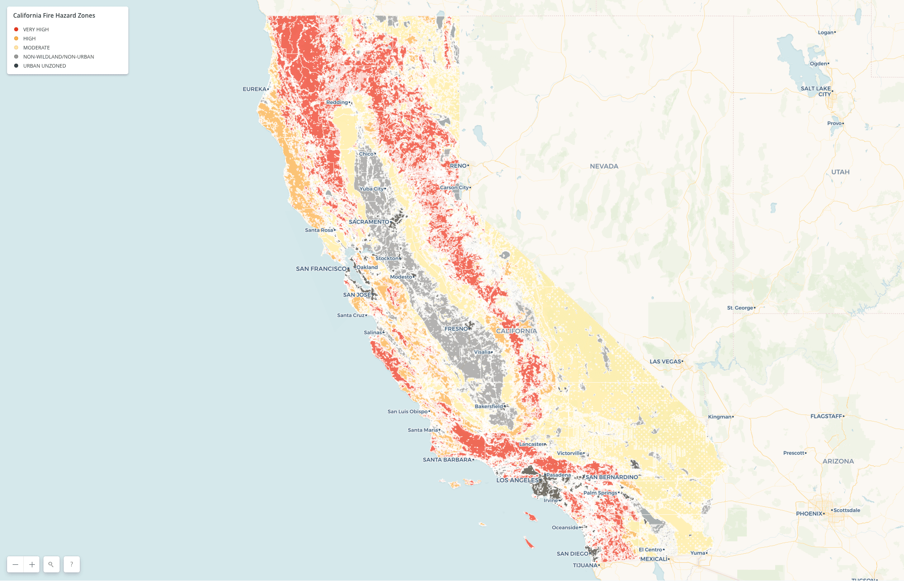
Unfortunately, wherever you live in California, you probably face the threat of wildfire. But the likelihood and danger can vary dramatically depending on exactly where you live, and you can currently assess that risk using a set of maps released in 2007, reports KQED.
But over the next year, that’s going to change. Updated draft maps to test are being released this winter that take new risk factors into account, according to Dave Sapsis, a Cal Fire researcher who specializes in mapping and research models.
The current maps from 2007 show the probability of wildfire in a given area by assessing vegetation, fire history, and topography since steeper slopes have higher fire risk. The hazard is ranked in three categories: moderate, high and very high. There are also two other categories: “non-wildland, non-urban” and “urban unzoned.”
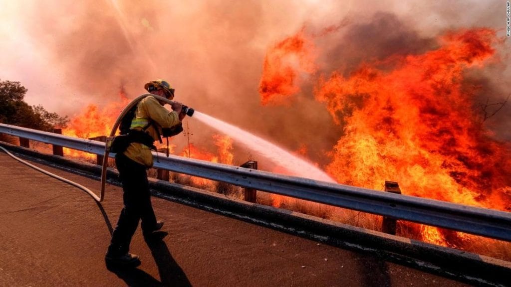
The new maps will continue to use all that data, but will also be able to assess the weather and development. Extreme winds drove much of the damage in Paradise during last November’s Camp Fire and in the North Bay during the October 2017 fire siege, and current fire maps don’t take that factor into account.
“We’re just now getting the capacity to estimate at a realistic scale what these areas, footprints, if you will, of these dry windy events are. ….and what the magnitudes of these events are,” a spokesman said.
Those kinds of weather conditions are tricky to map because you want to take into account those very destructive types of fires, but also need to consider a longer, 50-year period. The new maps are meant to show “where fires could go,” not where they could start, the spokesman added.
Cal Fire hopes to start testing its new draft maps this winter. The agency expects to release official maps next summer for “state responsibility areas” — the parts of California areas that it’s responsible for protecting. After that, Cal Fire will work with local governments to develop new maps for those areas, too.