The chance of El Niño developing in 2019 has increased to approximately 70%, around triple the normal likelihood, for the upcoming Australia winter season. Tropical Pacific sea surface temperatures have touched on El Niño thresholds for the past three weeks, while waters below the surface are also slightly warmer than average, writes the Australian Bureau of Meteorology. The Bureau’s ENSO Outlook has moved to El Niño ALERT.
The tropical Pacific Ocean has warmed since late January 2019 and has been touching on El Niño thresholds for three consecutive weeks. Model outlooks suggest this warming is likely to be sustained throughout autumn and into winter. There has been some atmospheric response – but a consistent signal in both the oceans and atmosphere is required for an event to be declared and for climate influences to be felt globally.

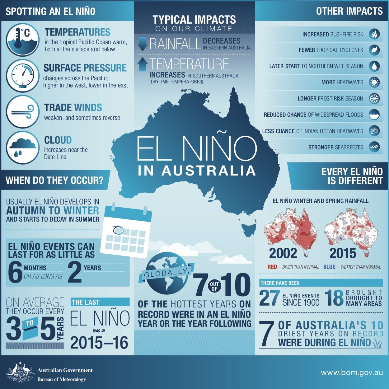
El Niño ALERT is not a guarantee that El Niño will occur; it is an indication that most typical precursors of an event are in place. El Niño events typically develop in autumn, mature during winter and spring before decaying in late summer and autumn.
El Niño typically brings drier than average conditions for eastern Australia during winter-spring, and warmer days across southern Australia. During the autumn months, the influence of El Niño tends to be weaker but can bring drier conditions to southern Australia.