As we enter into the weekend, ski resorts all across the West are bone dry. There has been little to no snowfall in states that typically receive plenty, states like Colorado, Utah, and California, to name a few.
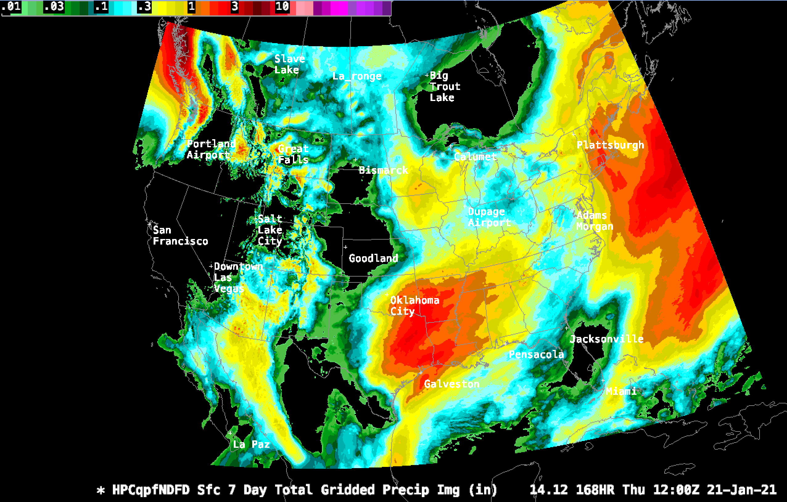
So what gives? Simply put, the jet stream has not brought much atmospheric moisture to the Western US’s mountain ranges. Above is a map of the approximate modeled precipitation (not snowfall) over the past week.
In the model, you can see that the entire Western US has hardly received any precipitation at all over the past week. The huge outlier to that is the Pacific Northwest. Areas of the Cascades received over 3.5 inches of precipitation, which roughly translates to nearly 40 inches of snow!
The Western US’s dryness juxtaposed with the wetness of the PNW hints at the larger pattern at play. Over the past week, the storm tracks have simply been tracking too far north to bring significant snow to the intermountain West. However, that is poised to change with a big pattern shift projected to arrive late this week and continue at least through next week. Below is a model run of total precipitation over the next 7 days:
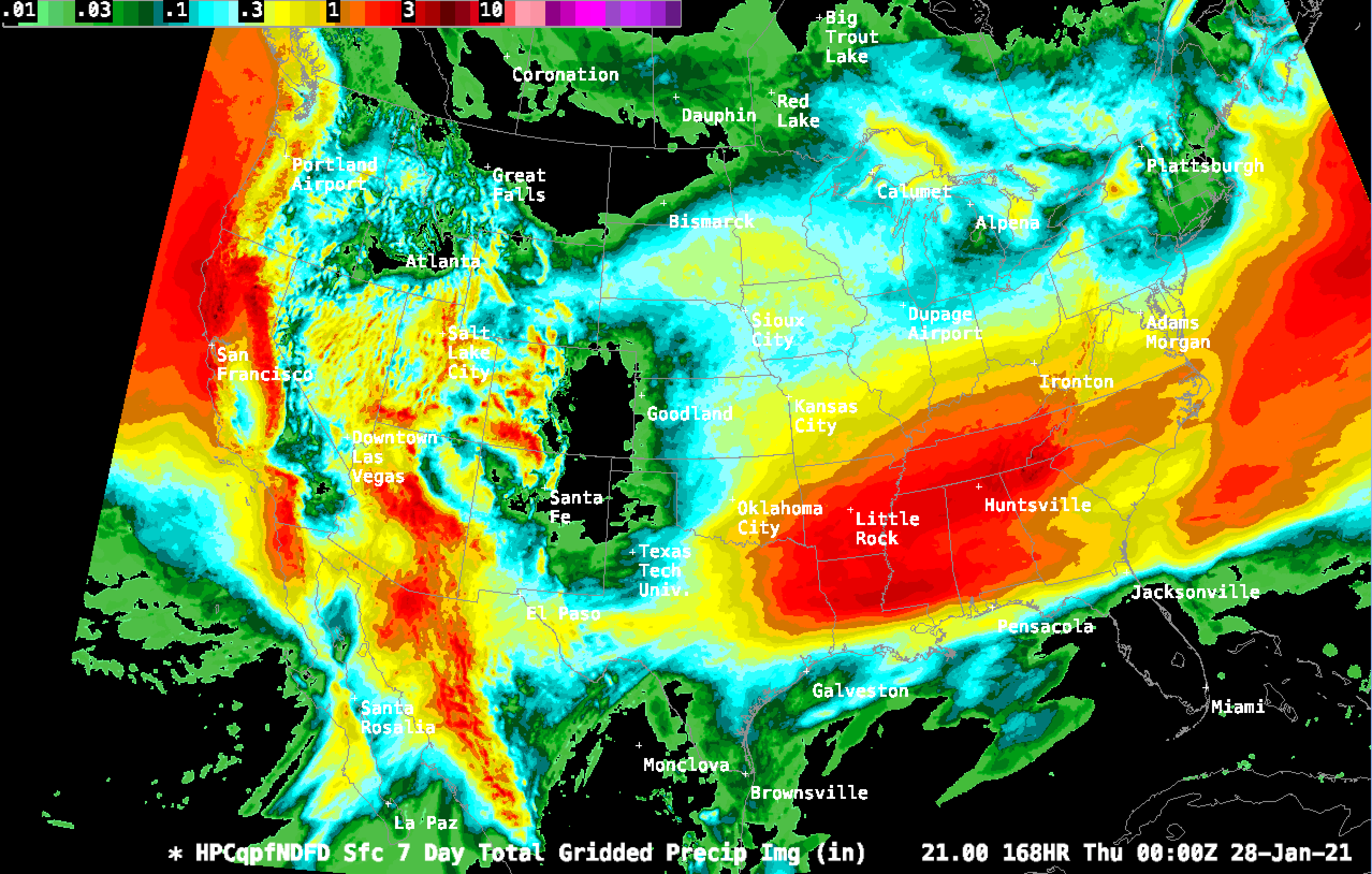
This model indicates the Sierra, Wasatch, and the Rockies receiving significant moisture, but the PNW surprisingly receiving far less. This indicates the storm tracks moving further south, which is more favorable for said mountain ranges.
Finally, let’s take a look at the 6-hour precipitation forecast. You can use this to pinpoint the strength and timing of a specific storm. Here’s to a good week ahead with plenty of snow!