A skier triggered a slide over the weekend near Breckenridge, CO, the first reported skier-triggered avalanche of the season.
- Related: “The SnowBrains Podcast” | Episode #1: “Why Is The Colorado Backcountry the Deadliest in the USA?”
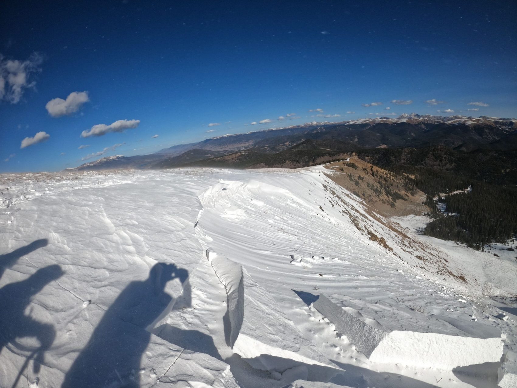
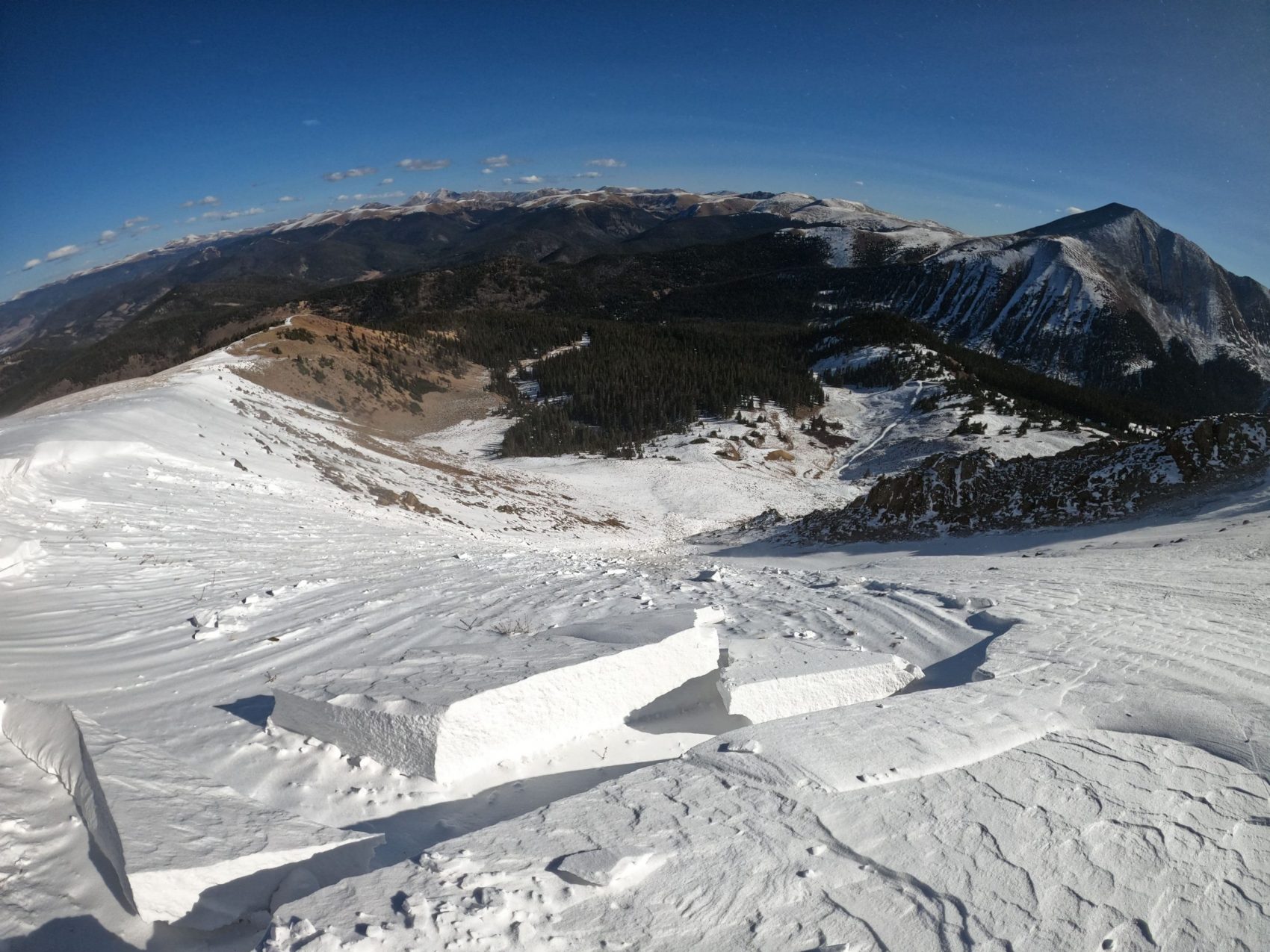
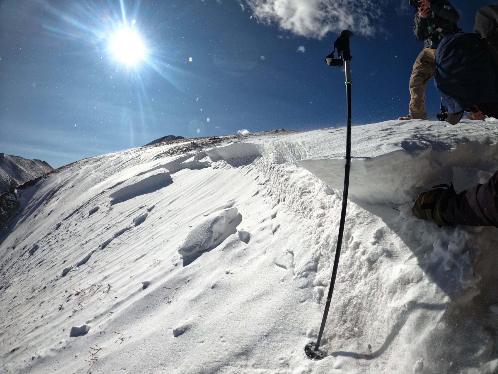
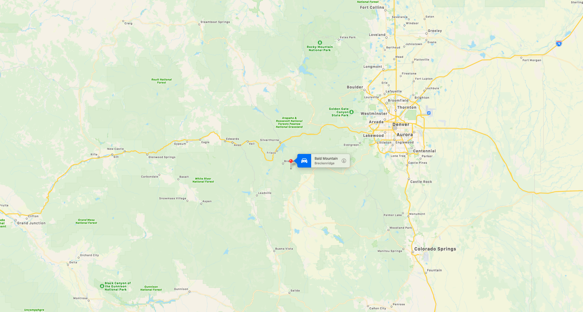
A report on the Colorado Avalanche Information Center (CAIC) website says the slide occurred on Saturday, October 31, 2020, at 12,300-feet on the lower eastern face of Bald Mountain near Breckenridge. A number of skiers were skinning uphill when a section of snow about two feet deep and 100 feet cracked and slid about 1,000 feet.
Thankfully, there were no injuries, burials, or partial burials.
The CAIC began daily operations for the 2020/2021 Season on November 1, and will issue a weather forecast by 6:00 AM and 2:00 PM daily. They will issue Regional Avalanche Summaries for the Northern, Central, and Southern Mountains, including a danger rating, by 4:30 PM daily until they receive more snow or conditions change enough to move to zone forecasts.


Avalanche Details
- Date: 2020/10/31
- Observer: Michael Stanley
- Organization: Public
Location
- BC Zone: Vail & Summit County
- Area Description: Lower east face of Bald Mountain near Breckenridge, just off the road.
Weather
- Weather Description: Bald Mountain East Aspect Approximately 12,300 feet elevation Time: 11AM Temperature: 25 degrees Fahrenheit Winds: Gusting E/SE at 20-25 mph
Snowpack
- Snowpack Description: Bald Mountain East Aspect Approximately 12,300 feet elevation Minimal snow on the relatively flat plateau where the road travels – wind scoured Beginnings of a cornice stretching 10- 15 feet from the flats (approximately 20 degree slope) to where it breaks over (approximately 38 degree slope). 10 to 20 inches of new snow had formed a wind slab that was beginning to turn into a cornice. This wind effected snow from the storm earlier this week sat on top of what we believe to be an old patch of snow from the September storm that was 0 to 12 inches from the ground.
Avalanches
- Avalanche Description: Bald Mountain East Aspect Approximately 12,300 feet elevation We were traveling along the edge of the band of snow that wind was depositing along the edge of the break-over onto the east face. We observed what we thought to be dangerous wind affected snow in and along the top of the chute. We agreed we would give the small cornice a wide berth and ski down for a couple turns along the very edge of the band of snow next to the grass. When skinning uphill towards the top of the band band of snow adjacent to the chute, a crack shot out in front of me traveling up and to the left along where the cornice was beginning to form. The wind effected snow collapsed along the length of the cornice and then stepped down into the old snow below we believed to be from September. The chute slid to the ground from this point along the chutes entire length. There was not much snow along the length of the rest of the chute past the wind deposited snow at the top. R2 – D2 Crown was about 2 feet in depth at its highest point, about 100 feet across. Length of the slide’s path appeared to be about 300 meters.


