The four-day search for a missing hiker on King’s Peak in Utah ended Sunday when crews discovered his body.
The body of Kyle Wimpenny, 25 from Boise, ID was discovered in the High Uintas at about 2:30 pm yesterday.
From initial investigations, it looked like he fell 1,000-feet while attempting to summit King’s Peak.
Kyle was reported missing on Wednesday by his roommate when he didn’t return from his Utah trip. His car was then discovered at the Henry’s Fork trailhead.
“Our hearts are broken for the Wimpenny family and friends. We offer our most sincere condolences as they mourn the tragic loss of Kyle. Hug your family members and friends often.”
– Sheriff’s Office statement
A GoFundMe has been set up to raise funds to help support his friends and family through this difficult time.

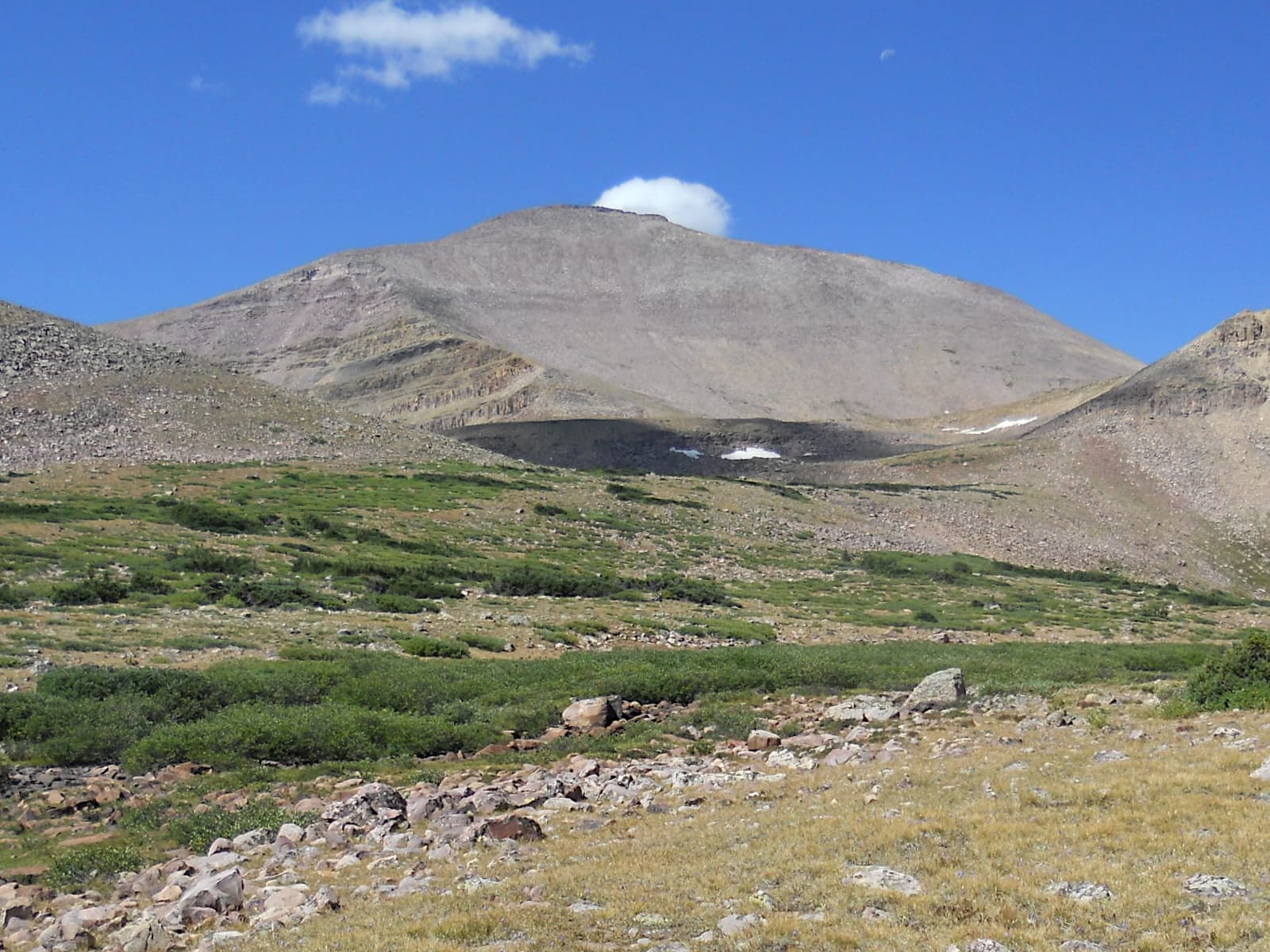
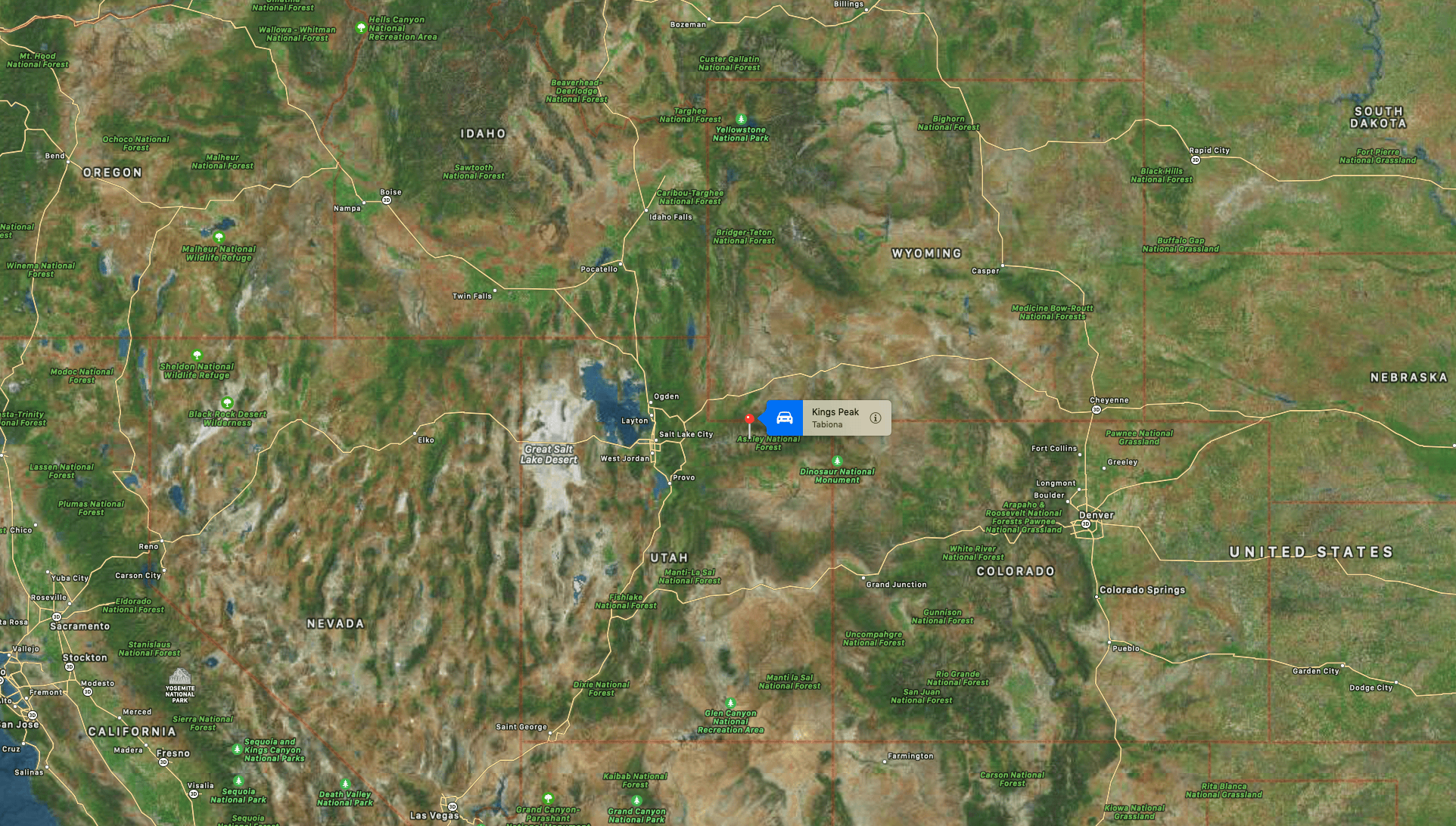
Kings Peak is the highest peak in the U.S. state of Utah, with an elevation of 13,534 feet (4,125 m), the only 13er in the state. It is located just south of the spine of the central Uinta Mountains, in the Ashley National Forest in northeastern Utah, in north-central Duchesne County. It lies within the boundaries of the High Uintas Wilderness. The peak is approximately 79 miles (127 km) due east of central Salt Lake City, and 45 miles (72 km) due north of the town of Duchesne.
There are three popular routes to the summit; a scramble up the east slope, a hike up the northern ridge, and a long but relatively easy hike up the southern slope. The peak was named for Clarence King, a surveyor in the area and the first director of the United States Geological Survey.[5] Kings Peak is generally regarded as the hardest state highpoint that can be climbed without specialist rock climbing skills and/or guiding. The easiest route requires a 29 miles (47 km) round trip hike.

The west side of Kings peak could be a 1000 foot drop. Not necessary to get close to that drop to get to summit unless exploring. There’s no other area with that kind of drop. Very unfortunate!
It’s so sad that this man lost his life…….my condolences to his family, friends, and loved ones.
Is there any more information concerning the route he was taking?
I’ve climbed this mountain a couple of times and I don’t remember anything steep enough to have fallen 1000 feet on the routine route……………through gun sight pass, down into the valley and around to the base of the summit ridge………even the summit ridge has a fairly pronounced trail which is more or less in the middle of the ridge…….the last 15-20min have some bouldering but my feeble old brain is not remembering anything with a 1000′ drop. It’s not like the highest point in his state, Borah Peak, which has some very serious exposure when one gets to chicken out ridge.
Even the rock fall short cut that people sometimes take doesn’t seem steep enough to support a 1000′ fall.
Perhaps he took an alternate route to the more routine one……….if anyone has some information as to the routing, I would sure appreciate any more information on this if someone knows.
warm regards to his family.