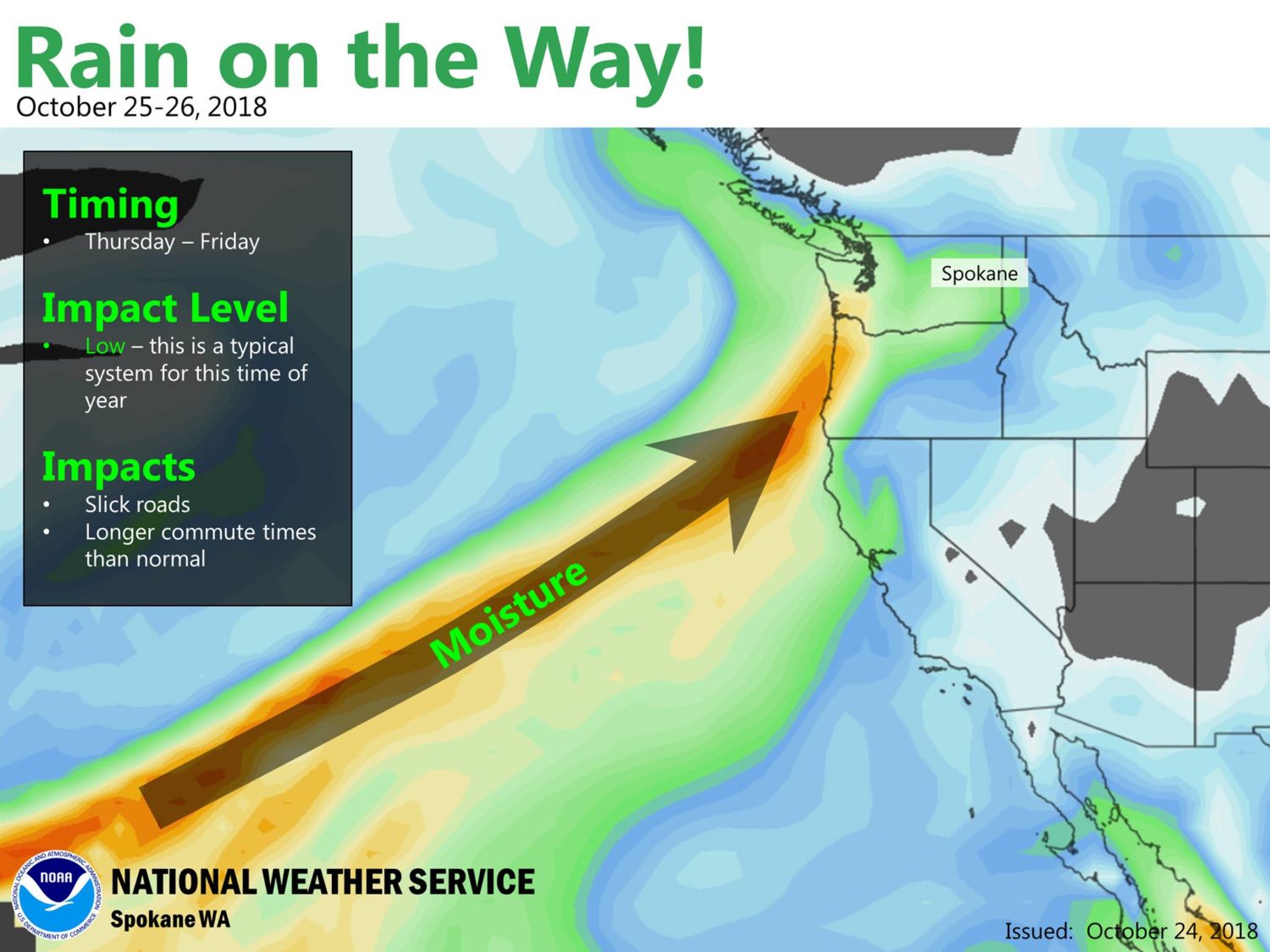
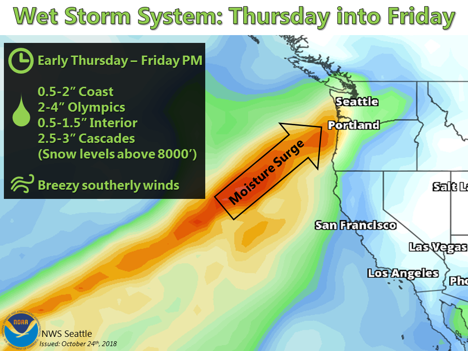
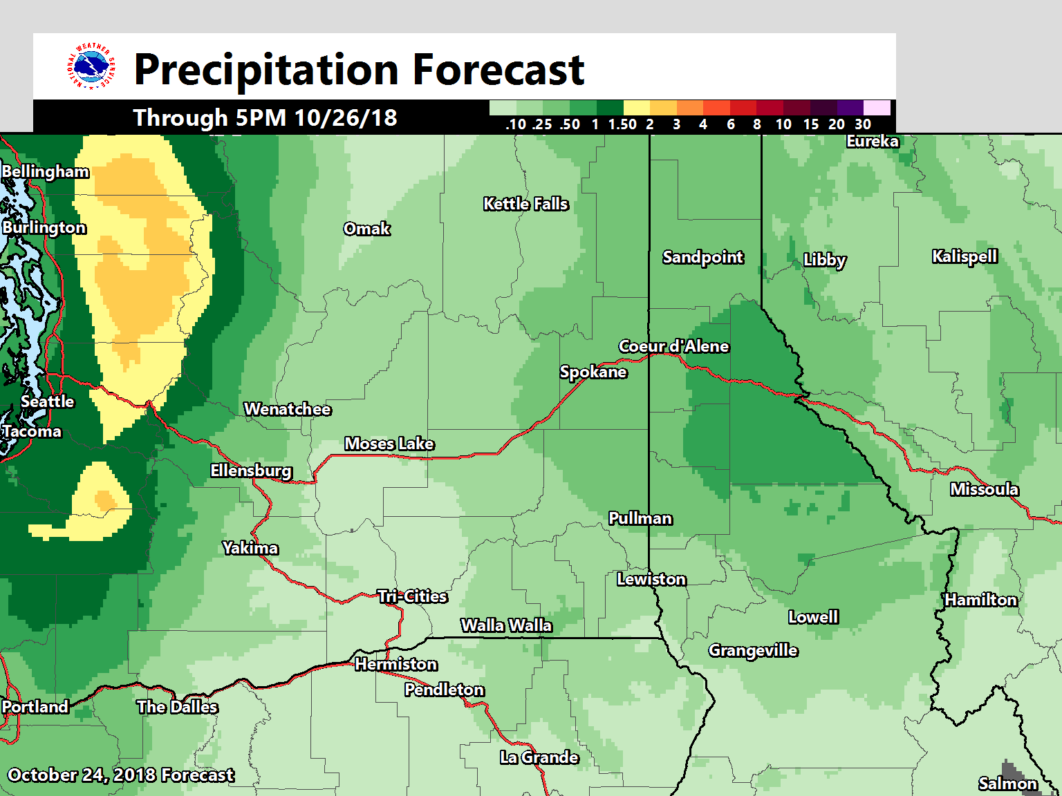
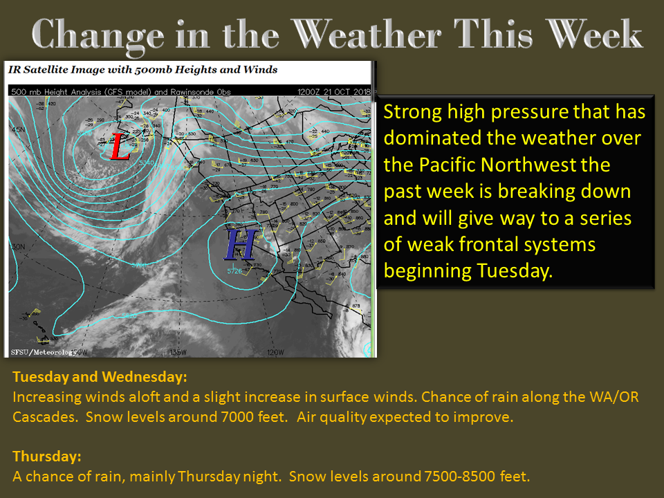
A surge of moisture is headed for the Pacific Northwest. Oregon and Washington are forecasted to get hit head on by this one. Snow levels are forecasted to hover around 8,000ft in the Cascades and accumulations will be dependent upon when the rain turns to snow.
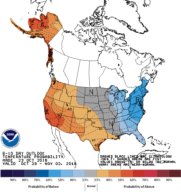
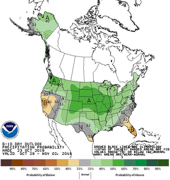
The 6-10 day outlook is calling for above average precipitation and above average temperatures in the PNW.
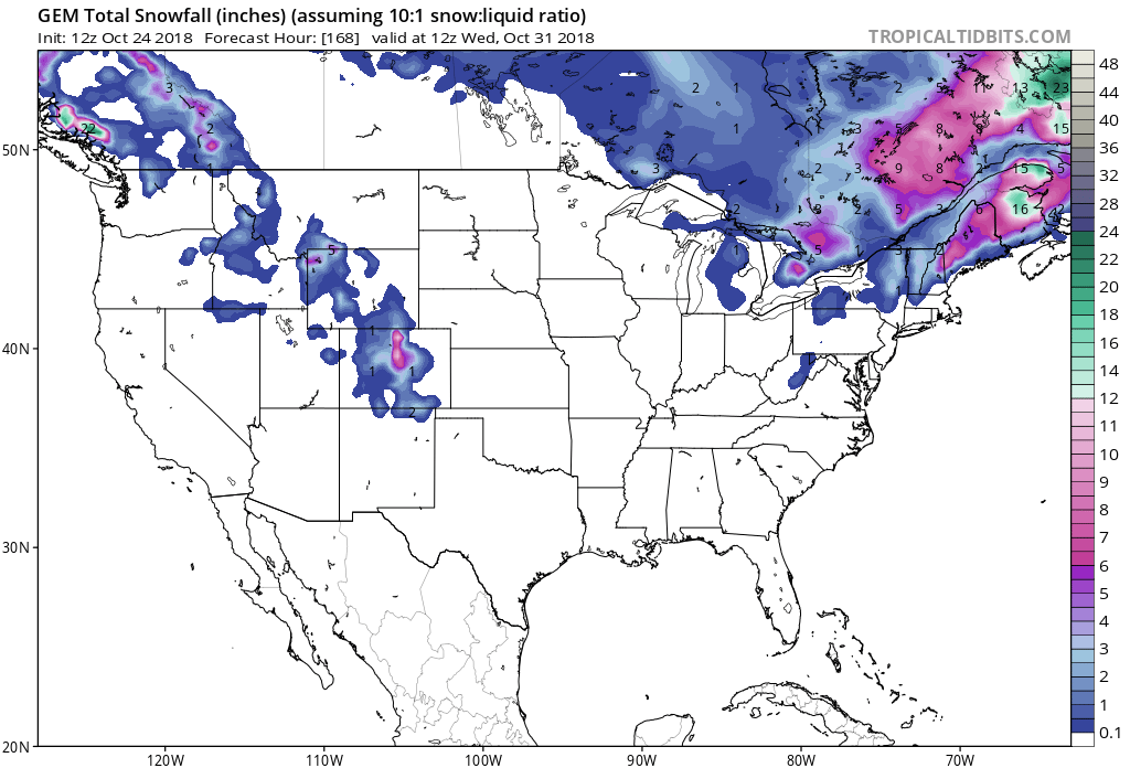
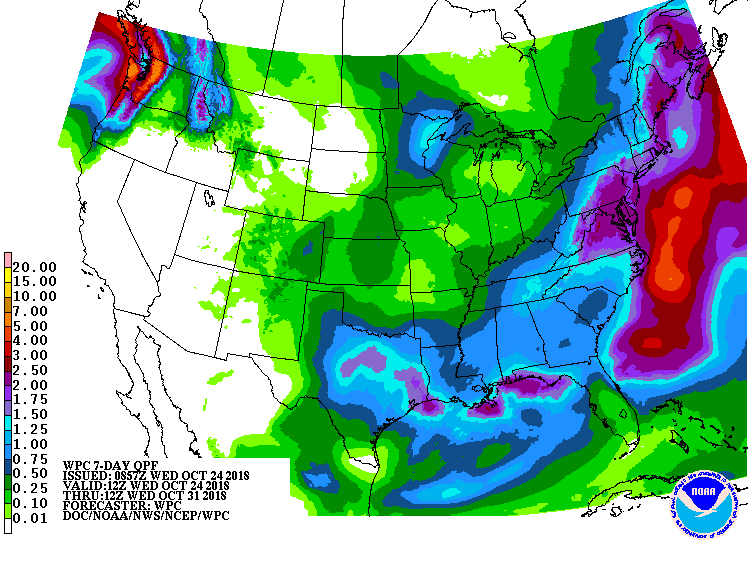
“Snow levels through the period of most significant precipitation will be above 8000 ft falling to around 5000 ft very light snow possible for the mountains as precipitation tapers off early Saturday morning as ridging returns.”
– NOAA Pendleton, OR Today
Additional Info:
Forecast Discussion:
National Weather Service Pendleton OR
1020 AM PDT Wed Oct 24 2018
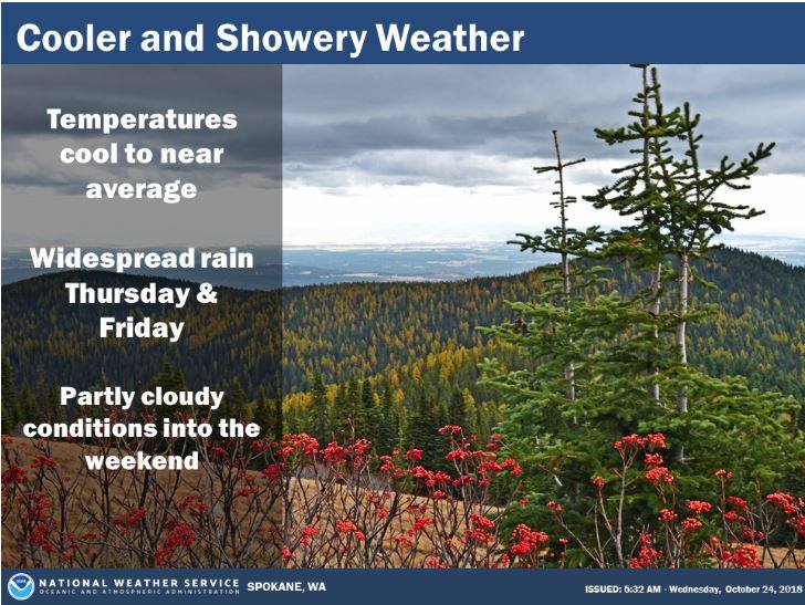
SHORT TERM…Today through Saturday…West/southwesterly flow will continue to assist in clearing out remaining haze from the Columbia Basin today. Skies will remain mostly cloudy today with weak warm air advection over the region. The next system begins to approach on Thursday with precipitation initially confined to the Washington Cascades through the day. During the overnight Thursday/early Friday models continue to depict a quasi-stationary boundary near the OR/WA border (00Z EC continues to show this feature a bit further south than the GFS). Weak overrunning over this feature coincident with ~1.0″ PWAT plume coming in from the west should result in better widespread precipitation chances north of the boundary through early Friday. Chances will drift slowly south through the day Friday as the boundary transitions into a cold front drooping south central Oregon. As westerly flow increasing with cold air advection Friday afternoon precip will end across the lower elevations as rain shadowing kicks in with upslope showers continuing in the Cascades/Blues into the overnight. Have continued to go somewhat conservative with total precipitation accumulations – perhaps an inch in the northern Cascades, quarter of an inch with slopover into the east slopes and a tenth of an inch into the Columbia Basin for now until details become more clear. Snow levels through the period of most significant precipitation will be above 8000 ft falling to around 5000 ft very light snow possible for the mountains as precipitation tapers off early Saturday morning as ridging returns. No major wind concerns through the period but will see an uptick to 15-20 mph Friday afternoon as mixing increases.