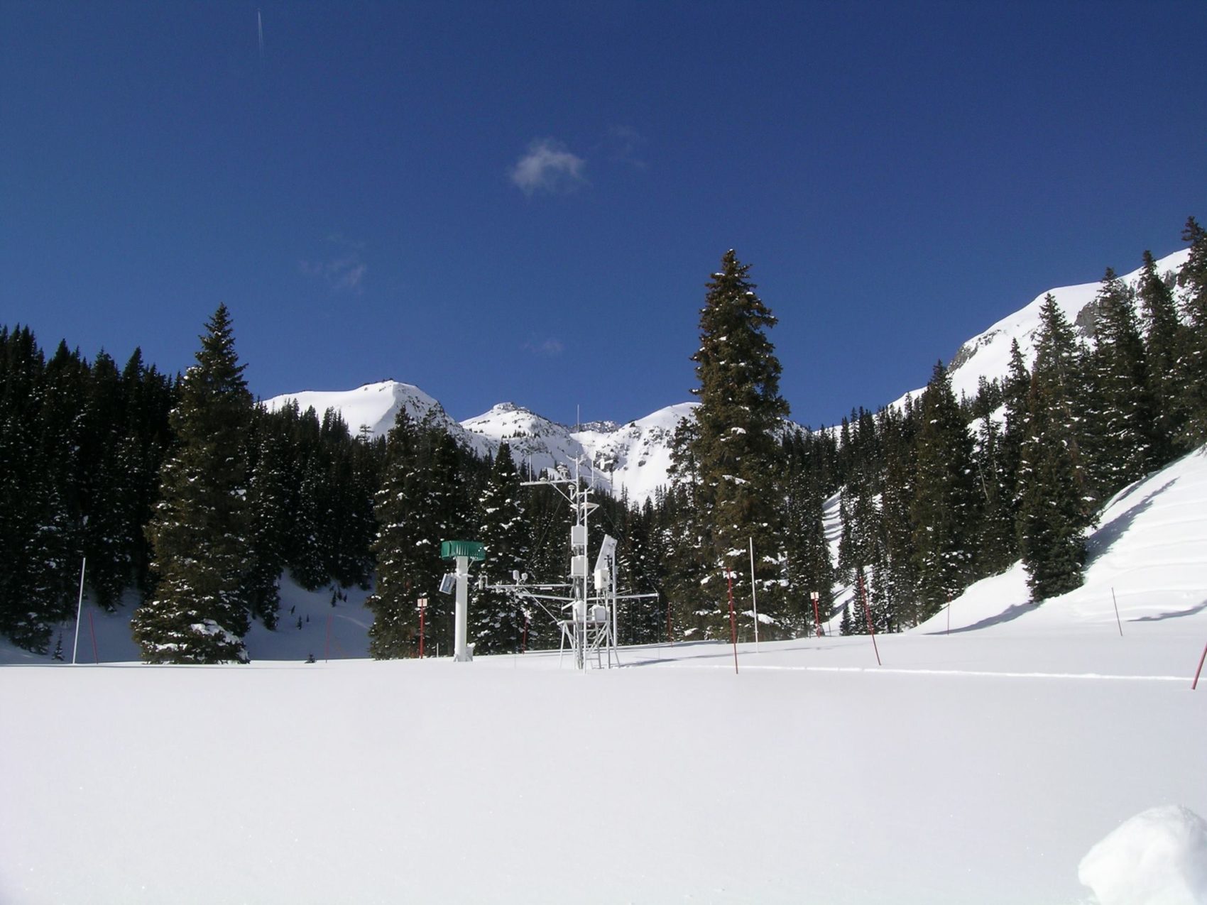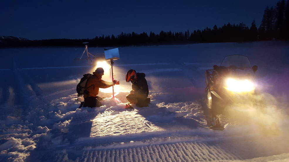
In an effort to gain a better understanding of Colorado’s snowpack, Silverton’s Center for Snow and Avalanche Studies is assisting in NASA’s SnowEx Campaign. The five-year airborne project is aiming to accurately measure snow properties and conceptualize the amount of water contained in each year’s snowpack. To do so, appropriate techniques for measuring snow must be determined and eventually, the hope is to design a snow-sensing satellite.
Snow plays a major role in many areas, providing drinking water, agriculture and electrical power. It is crucial to know the amount of water that will be provided once spring hits and the snow begins to melt. Knowing where and the amount of snow that has fallen is extremely beneficial for water resource managers and hydrologists. Having the ability to measure the snow water equivalent or SWE, will allow researchers to determine the amount of water contained within a certain snowpack.

While measuring snow from the air is tricky, NASA will be flying radar and lidar to measure SWE, snow depth, surface temperature, and coverage. Advanced technologies, such as thermal imaging, microwave radar, and topographic sensors are among the tools the campaign will be utilizing for airborne measurements. Data, using real-time computer modeling, is also collected on the ground, measuring density, accumulation layers, temperature, wetness, and particle size.
Between highly advanced technology, airborne measurements, and ground measurements, the future of a global snow satellite is looking promising. Using Colorado as their first area to measure snowpack, NASA will be performing weekly flyovers to study the snow. With plans to assess more regions down the road, the hope is to make strides in snowpack assessments to better predict results, especially considering climate change.