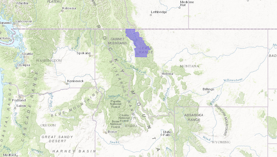
NOAA has issued a Winter Weather Advisory that is calling for 1-2 feet of snow for NW Montana this weekend including Glacier National Park.
This is a very significant storm for this time of year. Be prepared if you or yours are in this area this weekend.
“Do you have any friends hiking or camping in the high back-country above 5,500 feet over northwest Montana? Confidence has increased that a late spring storm could produced 1 to 2 feet of snow in the higher elevations in Glacier National Park and surrounding mountain ranges tonight through Monday morning. Spread the word!” – NOAA Montana, today

WINTER WEATHER ADVISORY for MONTANA:
URGENT - WINTER WEATHER MESSAGE
NATIONAL WEATHER SERVICE MISSOULA MT
1257 PM MDT SAT MAY 21 2016

...WINTER WEATHER ADVISORY IN EFFECT FROM MIDNIGHT TONIGHT TO
NOON MDT MONDAY ABOVE 5500 FEET...

THE NATIONAL WEATHER SERVICE IN MISSOULA HAS ISSUED A WINTER
WEATHER ADVISORY FOR SNOW AND WIND ABOVE 5500 FEET... WHICH IS IN
EFFECT FROM MIDNIGHT TONIGHT TO NOON MDT MONDAY.

* IMPACTS/TIMING: SNOW LEVELS WILL LOWER TONIGHT AND WEST WINDS
  WILL INCREASE BY SUNDAY MORNING. SNOW LEVELS OF 6000 FEET WILL
  BE COMMON ON SUNDAY AND MONDAY. HEAVIER PRECIPITATION WILL
  POTENTIALLY LOWER SNOW LEVELS TO 5500 FEET AND POSSIBLY LOWER
  DURING SUNDAY AND MONDAY MORNINGS.

* SNOW ACCUMULATIONS: 2 TO 6 INCHES BETWEEN 5500 AND 6000 FEET AND
  12 TO 24 INCHES ABOVE 6000 FEET BY MIDDAY MONDAY.

* WIND: 35 TO 45 MPH WITH GUSTS OVER 50 MPH ABOVE 6000 FEET SUNDAY
  MORNING THROUGH MONDAY MORNING. THE COMBINATION OF WIND AND
  SNOW WILL PRODUCE VERY LOW VISIBILITIES AND BLOWING SNOW.