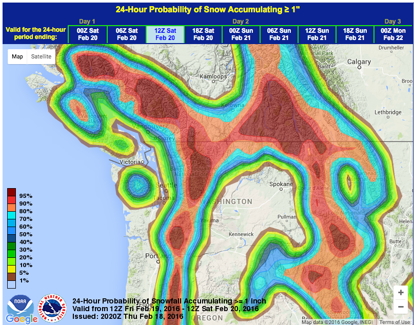
NOAA has issued a Winter Weather Advisory for all of the Washington Cascades today. 6-16″ of snow are forecast.
Mt. Baker ski are has already seen over 400″ of snowfall (2nd most in North America) this season and they have the 4th deepest snowpack in North America at 150″.
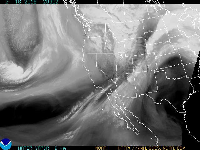
INCOMING WASHINGTON STORM:
- 3-8″ of snow is forecast tonight
- 3-8″ of snow if forecast tomorrow
* MAIN IMPACT...EXPECT 3 TO 8 INCHES OF SNOW TONIGHT FOLLOWED BY
  ANOTHER 3 TO 8 INCHES ON FRIDAY. LOCALLY HEAVY SNOW SHOWERS WILL
  CONTINUE FRIDAY NIGHT. - NOAA Seattle, WA today
- Snow levels will be as high as 4,000-feet on Friday before lowering to 2,500-feet on Friday night. Mt. Baker ski area lives between 3,000-5,000 feet so they should get a solid amount of snow. Crystal Mountain lives between 5,000-7,000-feet so they should get all snow.
* SNOW LEVEL...3500 FEET RISING TO 4000 FEET FRIDAY
  AFTERNOON...THEN FALLING TO 2500 FEET LATE FRIDAY NIGHT.
- NOAA Seattle, WA today
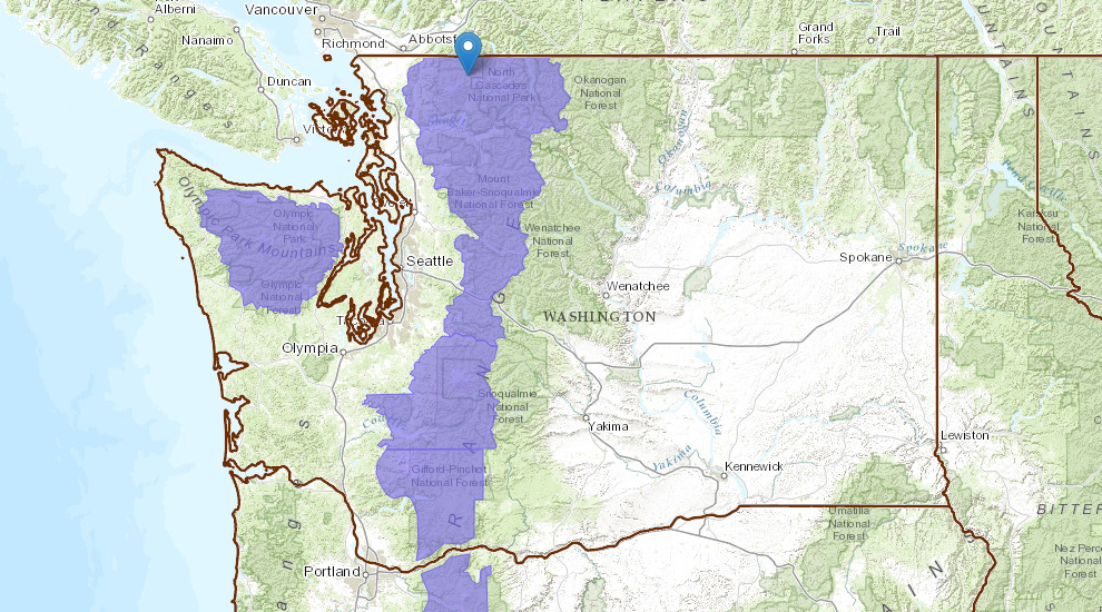
WINTER WEATHER ADVISORY for WASHINGTON:
URGENT - WINTER WEATHER MESSAGE
NATIONAL WEATHER SERVICE SEATTLE WA
936 AM PST THU FEB 18 2016

CASCADES OF WHATCOM AND SKAGIT COUNTIES-
CASCADES OF SNOHOMISH AND KING COUNTIES-

...WINTER WEATHER ADVISORY IN EFFECT FROM 6 PM THIS EVENING TO 6 AM
PST SATURDAY...

THE NATIONAL WEATHER SERVICE IN SEATTLE HAS ISSUED A WINTER WEATHER
ADVISORY FOR SNOW...WHICH IS IN EFFECT FROM 6 PM THIS EVENING TO
6 AM PST SATURDAY.

* SNOW LEVEL...3500 FEET RISING TO 4000 FEET FRIDAY
  AFTERNOON...THEN FALLING TO 2500 FEET LATE FRIDAY NIGHT.

* TIMING...SNOW SHOWERS WILL INCREASE LATE THIS AFTERNOON THROUGH
  THIS EVENING AS AN UPPER LEVEL TROUGH MOVES OVERHEAD. A VIGOROUS
  FRONT WILL BRING MORE SNOW FRIDAY AFTERNOON AND WILL BE FOLLOWED
  BY ONSHORE FLOW FRIDAY NIGHT.

* MAIN IMPACT...EXPECT 3 TO 8 INCHES OF SNOW TONIGHT FOLLOWED BY
  ANOTHER 3 TO 8 INCHES ON FRIDAY. LOCALLY HEAVY SNOW SHOWERS WILL
  CONTINUE FRIDAY NIGHT.

* OTHER IMPACTS...SNOW COVERED ROADS AND REDUCED VISIBILITIES WILL
  IMPACT TRAVEL ABOVE 3500 FEET.