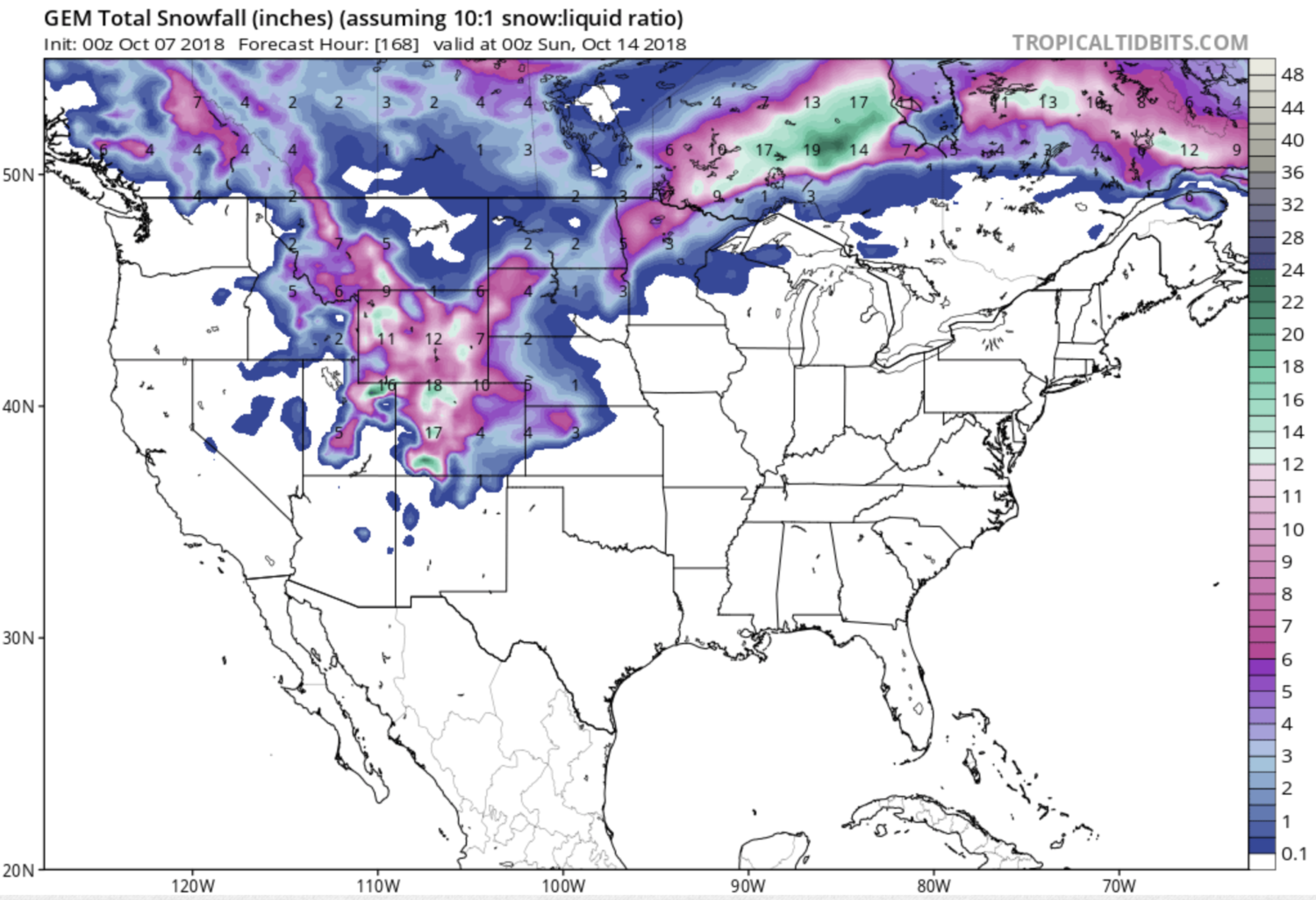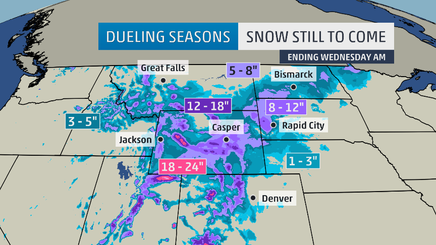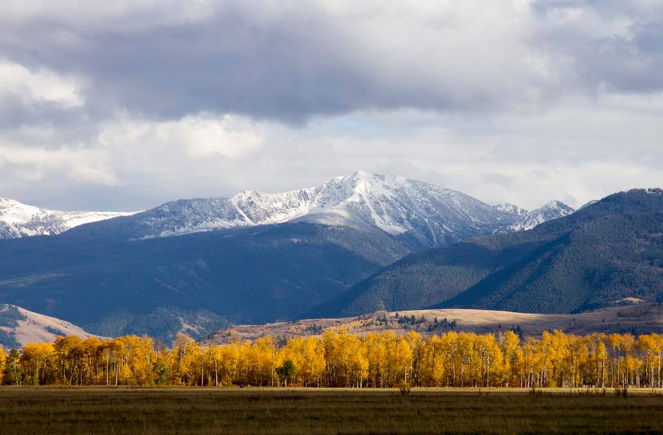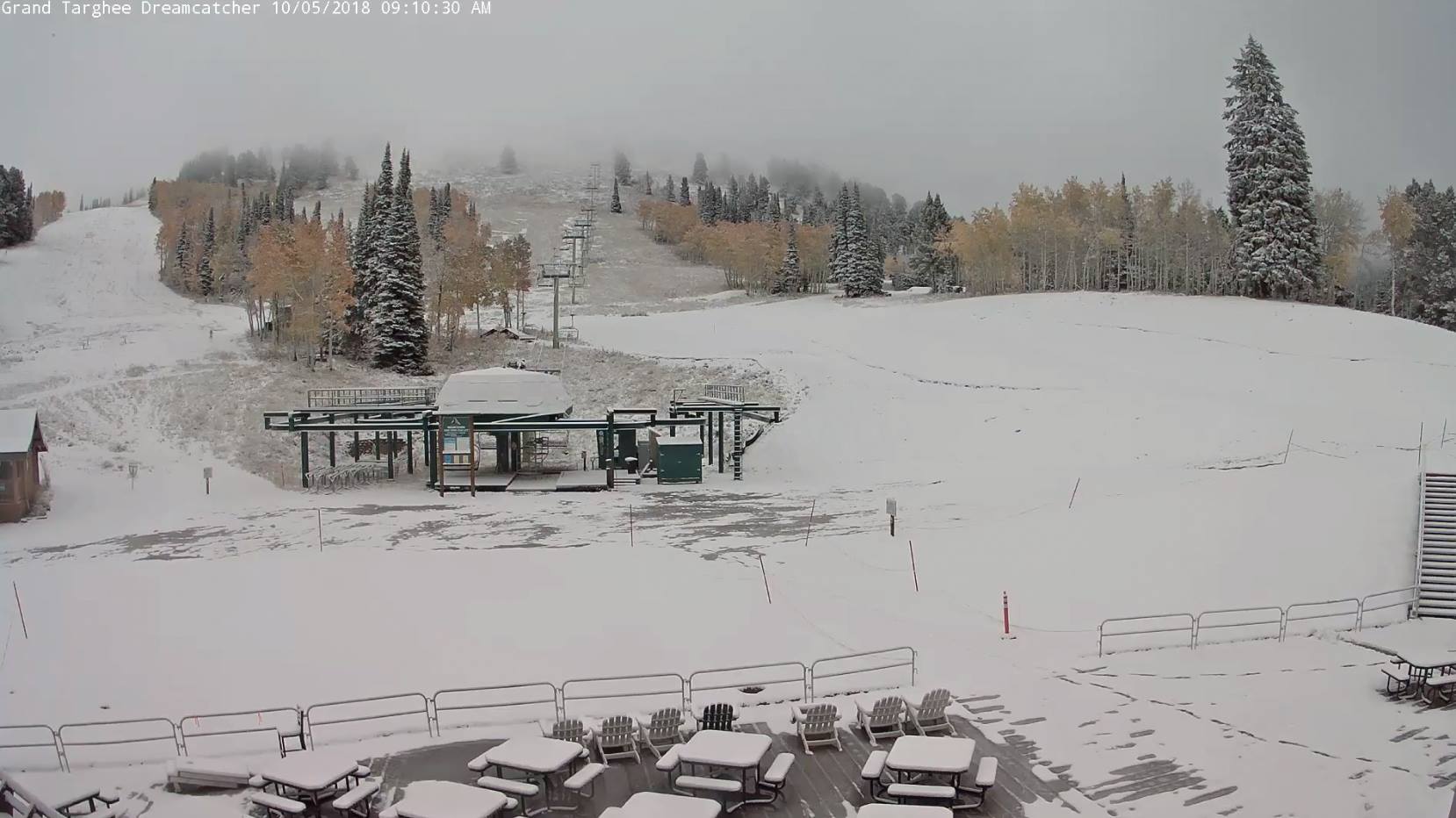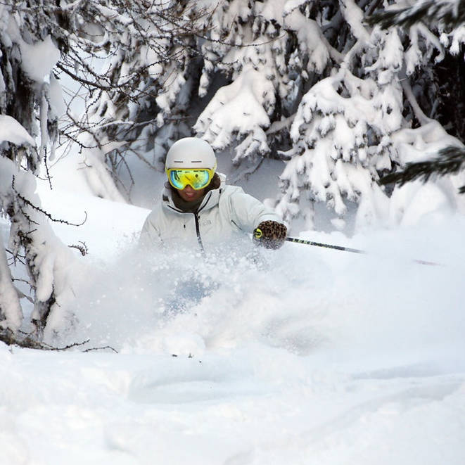
NOAA is forecasting 6-9″ of snow for the Teton Mountain Range in Wyoming today and tomorrow.
“Expect 6 to 9 inches of total snowfall in the mountains and some of the foothills east of the divide…” – NOAA Riverton WY today
NOAA has issued a Hazardous Weather Statement for the Teton Range.
This snowfall forecast includes Jackson Hole and Grand Targhee ski resorts.

Snow is forecast every day through Friday on Teton Pass, WY.
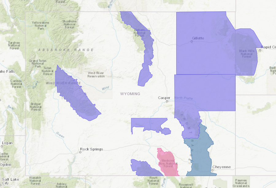
Wyoming has Winter Storm Warnings, Winter Storm Watches, and Winter Storm Advisories issued in many of its other mountain ranges today.
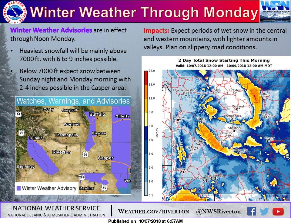
Hazardous Weather Outlook for Wyoming
Hazardous Weather Outlook
National Weather Service Riverton WY
315 AM MDT Sun Oct 7 2018

Yellowstone National Park-Absaroka Mountains-Cody Foothills-
North Big Horn Basin-Southwest Big Horn Basin-
Southeast Big Horn Basin-Owl Creek and Bridger Mountains-
Bighorn Mountains West-Bighorn Mountains Southeast-
Northeast Johnson County-Southeast Johnson County-
Teton and Gros Ventre Mountains-Jackson Hole-
Wind River Mountains West-Wind River Mountains East-
Upper Wind River Basin-Wind River Basin-Lander Foothills-
Green Mountains and Rattlesnake Range-
Natrona County Lower Elevations-Casper Mountain-Star Valley-
Salt River and Wyoming Ranges-Upper Green River Basin Foothills-
Upper Green River Basin-South Lincoln County-
Rock Springs and Green River-Flaming Gorge-East Sweetwater County-

...Winter Weather Advisory for the Wind River Mountains and East
Slope of the Big Horn Mountains today through Monday morning...

This Hazardous Weather Outlook is for Western and Central Wyoming.

.DAY ONE...Today and Tonight.

Snow will continue in the west and mountains. Rain will
change to snow tonight in the lower elevations east of the
Continental Divide before snowfall diminishes. Expect 6 to 9
inches of total snowfall in the mountains and some of the foothills
east of the divide, 1 to 3 inches in some of the lower elevations
east of the divide as well as in Sweetwater County, and 4 to 5
inches in the Western Wyoming Mountains by Monday morning.

.DAYS TWO THROUGH SEVEN...Monday through Saturday.

Monday night...Low temperatures in the 20s will result in a
widespread hard freeze across central basins where some vegetation
may still be susceptible to freezing temperatures.

Wednesday and Thursday...A chance of rain and snow showers.
