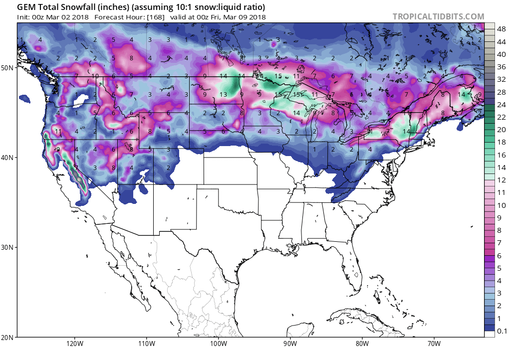
The National Weather Service has issued a Winter Storm Warning for Utah. It’s in effect until Sunday Morning at 11:00am. Heavy snowfall is forecasted to impact the area throughout that time period. Who’s ready for a few powder days in Utah?
1-2+ FEET of Snow Today – Sunday Morning.
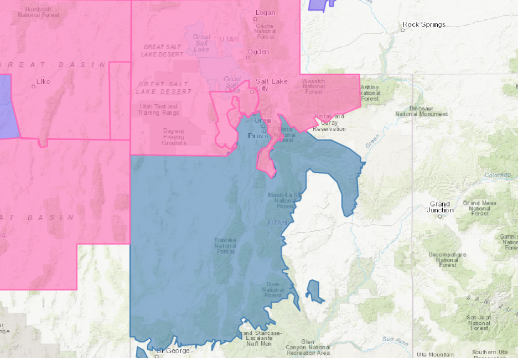
Snow is expected to fall in Salt Lake City, UT, but accumulations are forecasted to grow with elevation.
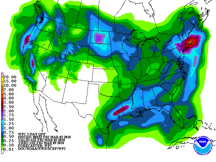
Additional Storm Info:
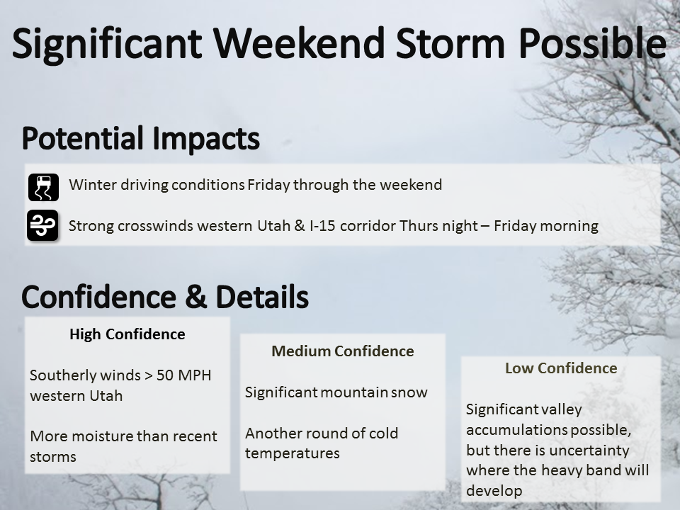
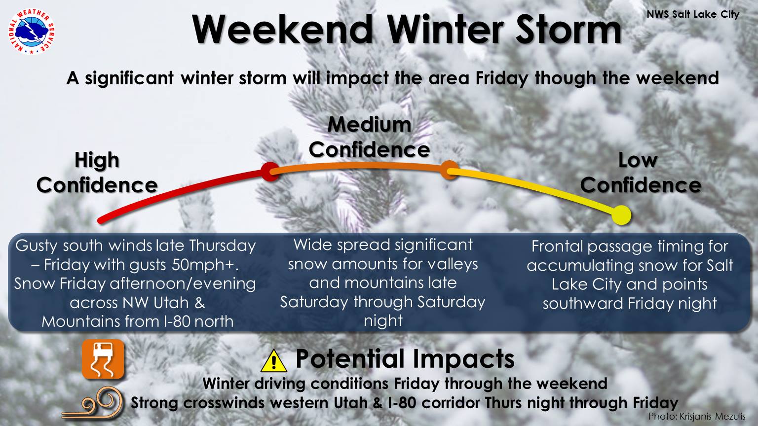
Utah: 1-2+ FEET of Snow Today – Sunday Morning
* Total snow accumulations of 12 to 20
  inches, with localized amounts
  up to 28 inches, are expected.
- NOAA Salt Lake City, UT
Utah Winter Storm Warning:
URGENT - WINTER WEATHER MESSAGE
National Weather Service Salt Lake City UT
348 AM MST Fri Mar 2 2018

Wasatch Mountains I-80 North-Wasatch Mountains South of I-80-
Western Uinta Mountains-
Including the cities of Woodruff, Randolph, Alta, Brighton,
and Mirror Lake Highway

...WINTER STORM WARNING REMAINS IN EFFECT FROM 9 AM THIS MORNING
TO 11 AM MST SUNDAY...

* WHAT...Heavy snow expected. Total snow accumulations of 12 to 20
  inches, with localized amounts up to 28 inches, are expected.

* WHERE...Wasatch Mountains I-80 North, Wasatch Mountains South
  of I-80 and Western Uinta Mountains.

* WHEN...From 9 AM this morning to 11 AM MST Sunday.

* ADDITIONAL DETAILS...Plan on difficult travel conditions.
  Damage to trees and power lines is likely. Be prepared for
  significant reductions in visibility at times.