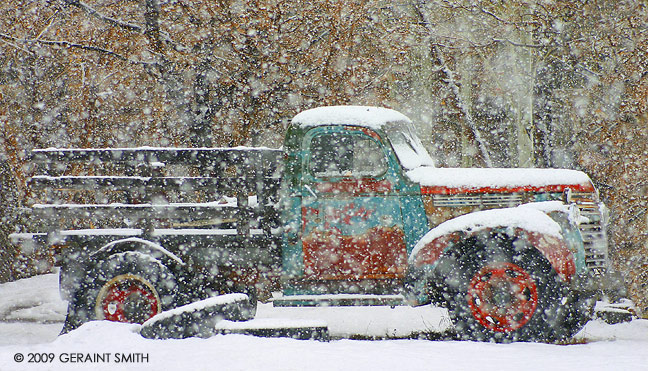
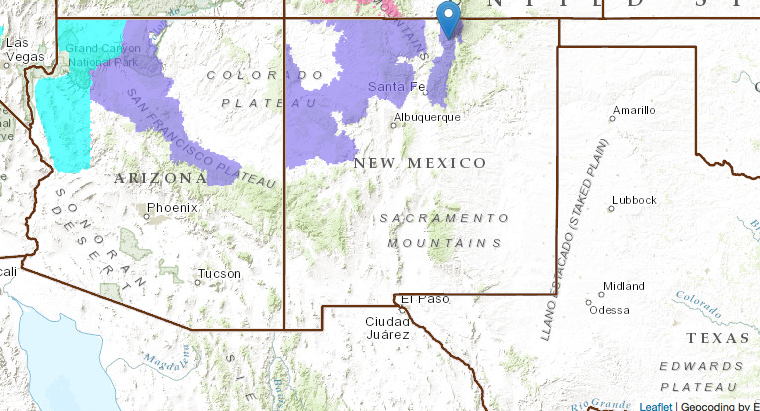
NOAA has issued a Winter Weather Advisory in Taos, New Mexico for today and tomorrow. NOAA has also reported that Toas is in the cross-hairs of this year’s strong El Nino. Taos is the only major ski resort in the USA that has both above average precipitation and below average temperatures forecast for this winter.
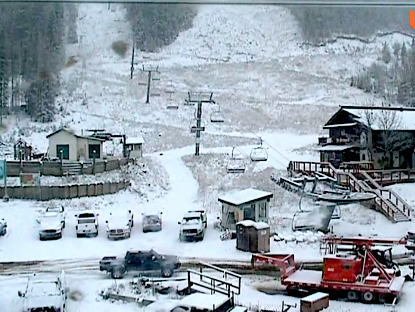
It’s currently snowing hard at Taos ski area and they’ve already gotten an inch or two at the base.
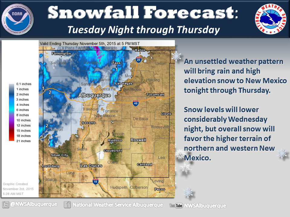
NOAA is calling for 4-8″ of snow and up to 12″ on the higher peaks. Taos’ Kachina Peak is one of those higher peaks as it sits at 12,481-feet.
* SNOW ACCUMULATIONS...TWO TO 4 INCHES IN THE FAR NORTHWEST
  HIGHLANDS. OTHERWISE...4 TO 8 INCHES. LOCALLY UP TO A FOOT ON
  WEST FACING SLOPES OF THE HIGHEST PEAKS. - NOAA Albuquerque, NM
Snow levels are forecast to start at 8,500-feet before dropping to valley floors. Taos’ base sits at 9,200-feet.
* SNOW LEVELS...INITIALLY NEAR 8500 FEET. BY LATE THIS AFTERNOON
  OR THIS EVENING...TEMPERATURES SHOULD BE COLD ENOUGH FOR SNOW AT
  ALL LOCATIONS.
Taos is scheduled to open on November 26th and they have a brand new chairlift up to the top of Kachina peak that just opened last winter.
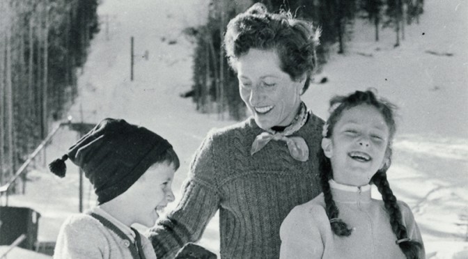
We’d like to send out condolences to the Taos family in regards to the passing of Rhoda Blake, the first lady of Taos Ski Valley. Thank, Rhoda.
“Rhoda Blake, First Lady of Taos Ski Valley and ski pioneer with late husband Ernst “Ernie Blake” Bloch, died 9:30 a.m. Tuesday (Nov. 3), after a brief illness. She was 97.” – The Taos News
WINTER WEATHER ADVISORY for TAOS, NM TODAY:
URGENT - WINTER WEATHER MESSAGE
NATIONAL WEATHER SERVICE ALBUQUERQUE NM
1201 PM MST WED NOV 4 2015

CHUSKA MOUNTAINS-FAR NORTHWEST HIGHLANDS-SAN JUAN MOUNTAINS-
JEMEZ MOUNTAINS-WEST SLOPES SANGRE DE CRISTO MOUNTAINS-
NORTHERN SANGRE DE CRISTOS ABOVE 9500 FEET/RED RIVER-
SOUTHERN SANGRE DE CRISTOS ABOVE 9500 FEET-

...WINTER WEATHER ADVISORY REMAINS IN EFFECT UNTIL 5 PM MST
THURSDAY...

* SNOW ACCUMULATIONS...TWO TO 4 INCHES IN THE FAR NORTHWEST
  HIGHLANDS. OTHERWISE...4 TO 8 INCHES. LOCALLY UP TO A FOOT ON
  WEST FACING SLOPES OF THE HIGHEST PEAKS.

* TIMING...SNOW WILL INCREASE THROUGH THE DAY AND EARLY THIS
  EVENING AS THE SNOW LEVEL LOWERS...WITH ANOTHER BURST OF SNOW
  POSSIBLE EARLY THURSDAY MORNING.

* WINDS...SUSTAINED 15 TO 25 MPH WITH GUSTS TO AROUND 35 MPH
  TODAY THEN DIMINISHING TO 10 TO 20 MPH TONIGHT AND THURSDAY.

* SNOW LEVELS...INITIALLY NEAR 8500 FEET. BY LATE THIS AFTERNOON
  OR THIS EVENING...TEMPERATURES SHOULD BE COLD ENOUGH FOR SNOW AT
  ALL LOCATIONS.

* LOCAL IMPACTS...HIGHEST ELEVATION ROADS WILL BE FIRST AND MOST
  IMPACTED...INCLUDING HIGHWAY 64 IN RIO ARRIBA COUNTY...STATE
  ROAD 134 OVER THE CHUSKA MOUNTAINS...STATE ROAD 38 AND HIGHWAY
  64 IN THE SANGRE DE CRISTO MOUNTAINS AND STATE ROAD 4 IN THE
  JEMEZ MOUNTAINS. REDUCED VISIBILITIES CAN BE EXPECTED IN AREAS
  OF HEAVIER SNOW...AND LOCALIZED AREAS OF BLOWING SNOW.
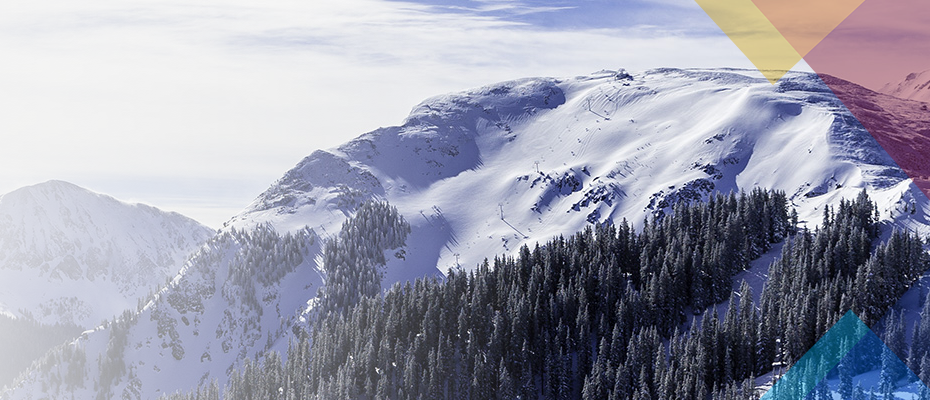
El Nin~o is here. In Nov. 1979 through April 1980., EL Nin~o caused exceptionally fine snow conditions at Taos Ski Valley. Throughout that Winter, The skiing was outstanding every day. On Jan. 1, 1980, while others slept it off or prepared to watch football, I was making first tracks through shoulder- deep powder on some mighty steep terrain; if the slope hadn’t been so steep, the depth of snow wouldn’t have allowed me to descend. The powder was so fine I could decide whether I wanted to ski deep in it or more shallow for faster pace. THE BEST I ever experienced.