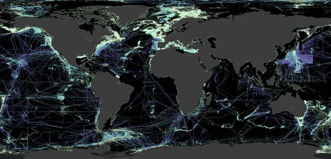
A new milestone was reached late June; one-fifth of the ocean floor is now mapped. When the Nippon Foundation-GEBCO Seabed 2030 Project started back in 2017 only 6% of the ocean floor had been mapped. Their goal is to complete the first map of the entire seafloor.
While the team can celebrate one-fifth of the seabed being mapped that means there is still just over 80% of the ocean floor left to be discovered. As project director Jamie McMichael-Phillips puts it, “That’s an area about twice the size of Mars that we have to capture in the next decade.” Last year alone the Project added 5.6 million sq mi (14.5 million sq km) of data to the map or two Australias.
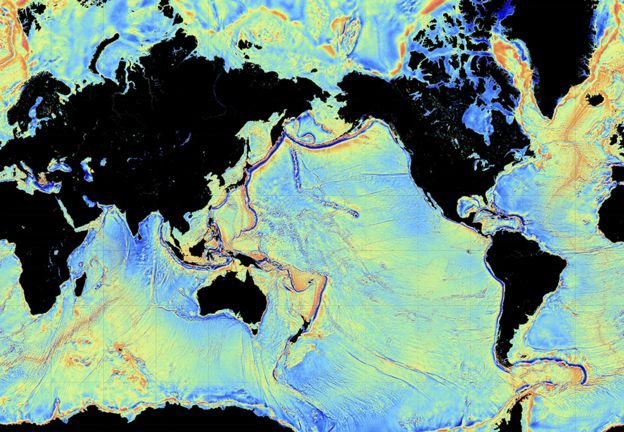
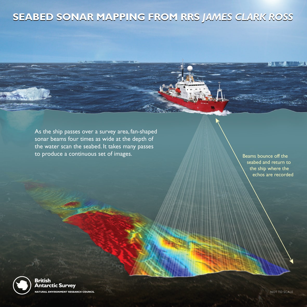
There is a rough idea of what the entire seafloor looks like prior to the completion of this project. Most of the ocean’s floor is mapped to a 1 km resolution using satellites and certain spacecraft. The aim of the Seabed 2030 Project is to improve the resolution to at least 100m across all oceans.


Why Do We Care?
It is important to have a fine-resolution map of our ocean floors for more reasons than just navigation. Mapping the seabed is important to better define fishery management zones and conserve areas integral to sea life. Ocean currents are better understood when the topography of the seabed is known as well. These ocean currents can tell us how fast and how drastically our climate is changing.
From differences in sea level rise to changing ocean temperatures knowing what is on our seafloors is crucial. The 2030 Project will use everything from crowdsourced data to autonomous ships to complete their goal by the end of the decade.
