Operations Update:
Palisades Tahoe Will Be Closed Tuesday, March 14th
By Palisades Tahoe
Mar 13, 2023
4:19 pm
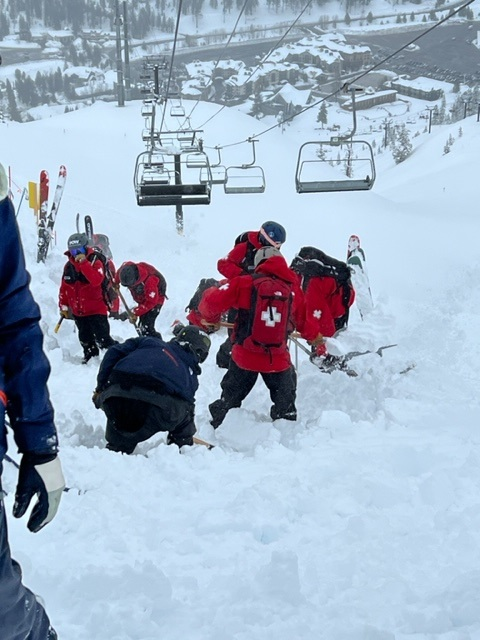
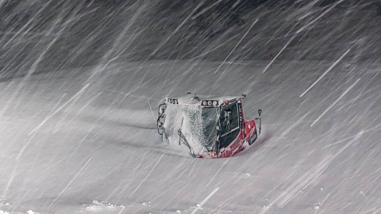
Tonight, another wet storm moves into the Tahoe area. Winds are projected to be over 100 miles per hour on our ridgelines. Normally, this would not be cause for a full closure, but the compounded effect of the incessant wet or snowy weather we have had over the past few weeks puts us in a different situation. We expect high avalanche danger and flooding effects over the next 24 hours and we need to continue to prioritize the safety of our guests and our employees. We will still be using this day to get ahead where we can, continuing to dig out and prepare for re-opening. Once the storm clears (on Wednesday), we will focus on getting terrain back as quickly and efficiently as we can.
Photo above: Nick McMahon, Palisades Grooming
WEATHER OUTLOOK
Tonight, the final band of this wet storm cycle moves in with moderate to heavy precipitation at times. Ridgetop winds will gust over 100mph. Snow levels continue to be unpredictable; they will likely fluctuate between 6,500 (the Palisades base area) and up to 8,300 feet (above Gold Coast area). Tuesday evening, a colder front will hopefully turn the remaining precipitation to snow. These are the current predicted snow totals for Wednesday morning from Bryan Allegretto of OpenSnow, who writes our Weather Blog, but we could see these decrease depending on temperature:
- 3-7 inches at the base.
- 7-26 inches at mid-mountain elevations.
- 26-33 inches on the upper mountain above 8,000 feet.
BEHIND THE SCENES OF THIS STORM
While we’ve been seeing mostly rain in the base areas through mid-mountain, the upper mountains have been seeing snowfall. It is still wet and heavy snow, but it continues to pile up and bury our lifts and facilities up there.
Let’s take a look:
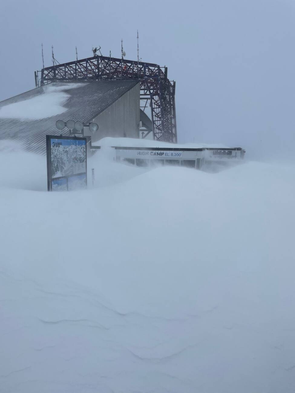
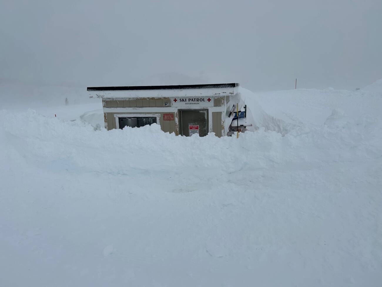
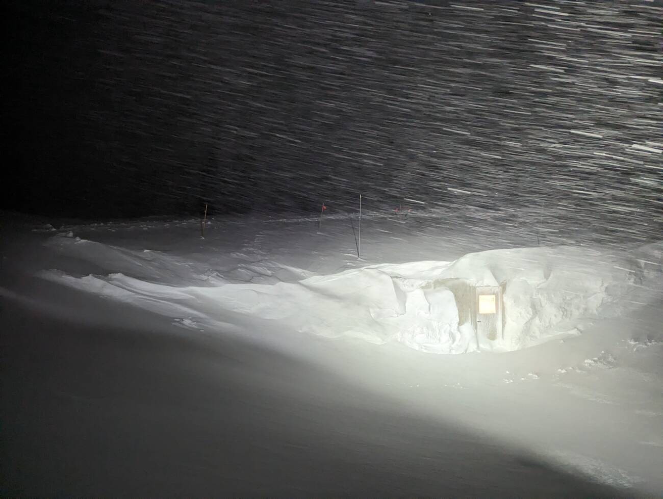
Photo: Ben Leech, Palisades Ski Patrol
We have so much snow below KT-22 that we are having to manually dig out this lift line with shovels every day after snowfall. Big shoutout to our Lift Operators & Ski Patrollers who have been doing this backbreaking work. Seriously — the snow that has fallen recently is so heavy.
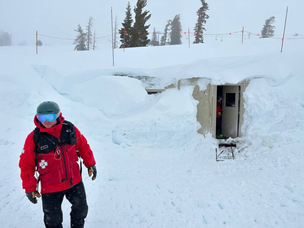
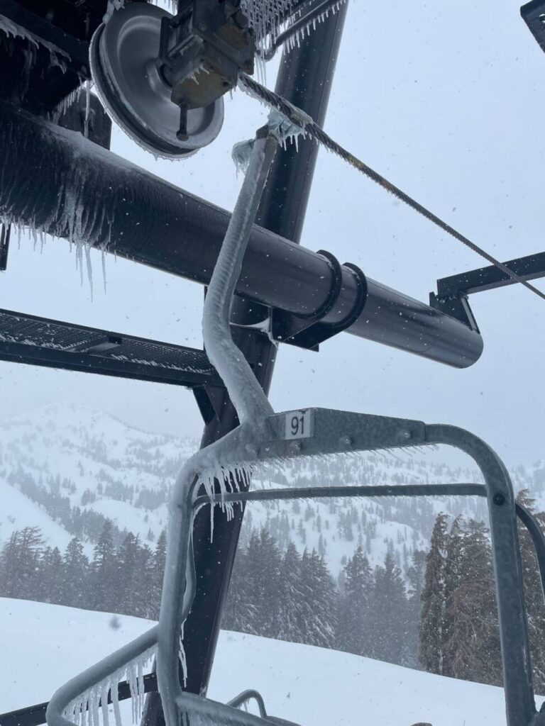
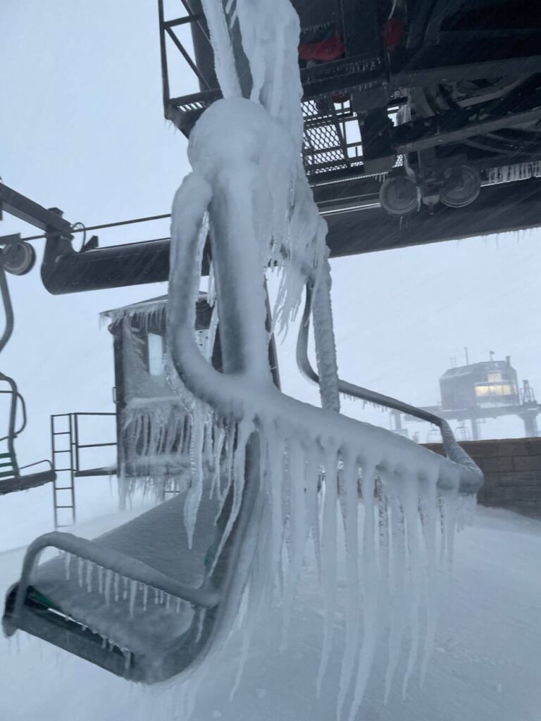
Photo: Will Paden, Palisades Ski Patrol DirectorThe Patrol Shack by the top of the Funitel.With all of this moisture, rime ice continues to be an issue as well. Rime ice builds up on our chairlifts after wet weather events, and is created when droplets of water freeze instantly when they meet a surface. Our Lift Maintenance teams have to break all of this ice off manually before the chair is safe to run again. Here are some examples:
WANT THIS BLOG TO COME TO YOUR EMAIL INBOX?
Sign up for our Mountain Operations email list, and we’ll send this blog directly to you every time we have an update. We’ll share another update soon. Sign up here.
HOW ELSE CAN I STAY UP-TO-DATE THIS SEASON?
We’ll arm you with all the information you need to plan the perfect ski day any day this winter. Bookmark these pages:
Not wanting to check the website constantly? Try these other methods:
-
- Follow our Mountain Operations Twitter account
- Sign up for the Palisades Tahoe Ski & Ride Report (Weather Blogs + Conditions Blogs are included here)
- Download the Palisades Tahoe App
Do you have any requests for this season’s Operations Blogs? Topics you’d like to see covered or information you think is missing? Send us an email at chatter@palisadestahoe.com with your feedback. We have received a lot of messages lately, and we are getting back to you one by one. Thanks for being patient!
