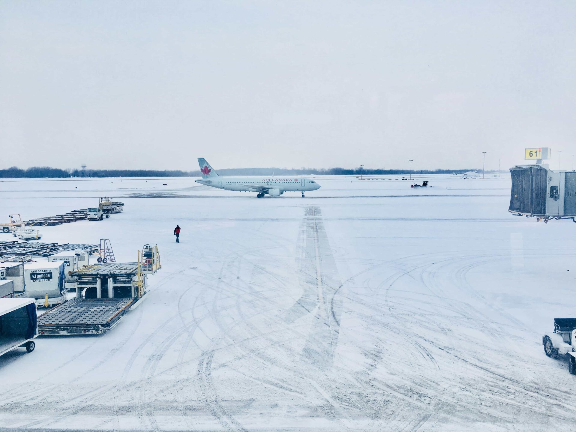
In an unusual weather event, Philadelphia set a new record for snowfall in July while grappling with soaring summer temperatures. The National Weather Service (NWS) reported a trace amount of snow at Philadelphia International Airport on Sunday, July 14, breaking a 154-year-old record.
Here’s a win for #TeamSnow. Thunderstorms passed over Philadelphia Intl. Airport Sunday afternoon and produced small hail. Since hail is frozen precipitation, this counts as a “trace” of snow in our climate reports. Hence, the record daily snowfall report. #PAwx pic.twitter.com/NbZ3xC2vfi
— NWS Mount Holly (@NWS_MountHolly) July 15, 2024
The “snowfall” was technically hail from thunderstorms passing over the airport. However, the NWS classifies hail as frozen precipitation, thus counting it as snow in official climate reports. This occurrence, while rare, is not unprecedented. Since 1911, Philadelphia has recorded trace amounts of snow during summer months on 14 separate occasions.
While rare, it is not unusual. Here is a list of the times a “T” of snow was recorded at PHL in the summer months (June-July-August): pic.twitter.com/RhdoEte9nt
— NWS Mount Holly (@NWS_MountHolly) July 15, 2024
The record-breaking event occurred amid a severe heat wave. Just 24 hours after the snowfall, the NWS issued an extreme heat warning for the Philadelphia area, with heat index values expected to reach up to 109 degrees Fahrenheit. The juxtaposition of these weather extremes highlights the region’s unpredictable nature of summer weather patterns.
Meteorologists at the NWS Mount Holly office, which covers the Philadelphia area, advised residents to take precautions against the dangerous heat. Recommendations include staying hydrated, seeking air-conditioned environments, and avoiding strenuous outdoor activities during peak heat hours.