Forecast By SnowBrains Chief Meteorologist – Eric McNamee
3:15 PM MST, 12/08/2021
Forecast Summary:
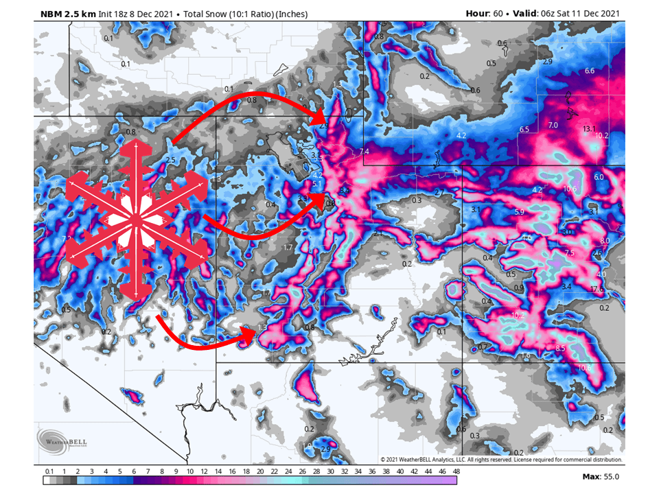
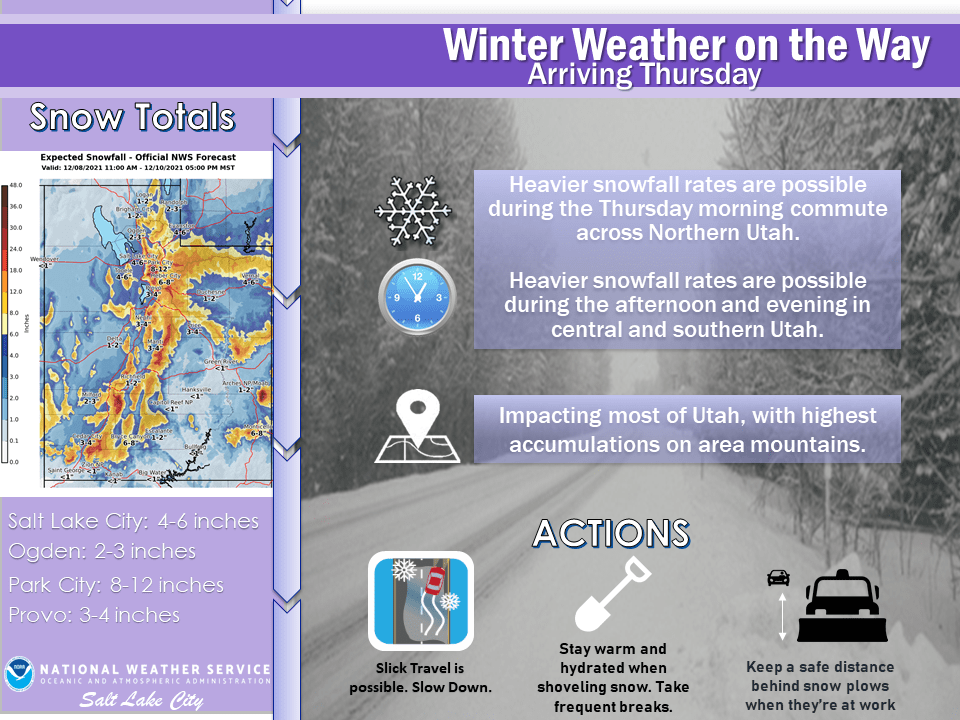
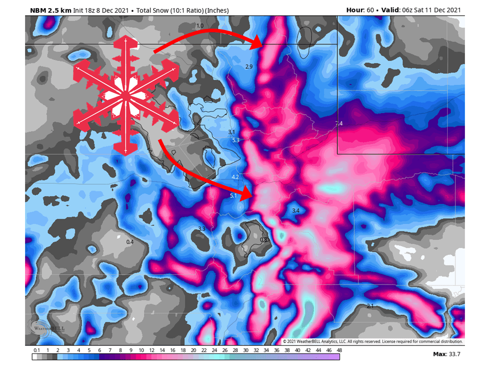
A deep and cold trough will move through Utah Thursday/Friday and bring 1-2 FEET of snow to most mountain locations across Utah through Friday.
Snow will initially start early Thursday and continue through the day.
Showers will taper off throughout the day Friday as the trough moves east.
Dry conditions are expected through the week with another system possible in the middle of next week.
Resorts that will see the most snow are Alta, Snowbird, Brighton, Solitude, Deer Valley, Park City, Canyons, Snowbasin, Powder Mountain, and Brian Head.
Short-Term Forecast:
Wednesday-Friday:
A trough will move through Utah Thursday/Friday and bring 1-2 FEET of snow to most mountain locations across Utah through Friday.
Snow will start early Thursday morning and fill in across the state throughout the day.
Snowfall rates will pick throughout the day as well once colder air and better dynamics move into the region.
By Thursday night snow will wind down a bit, but NW-facing slopes will continue to see snow under unstable northwesterly flow.
There is also the chance for some lake-effect snow Friday morning south and east of the Great Salt Lake.
Winter Storm Watches have been issued by the National Weather Service in anticipation of this storm.
Long-Term Forecast:
Saturday-Tuesday:
Conditions will be dry through the weekend and early next week.
By Tuesday/Wednesday, there looks to be the possibility of another system moving into the region.
It’s currently too far out to estimate snow totals but it looks promising.
Extended Forecast:
Sunday and Beyond:
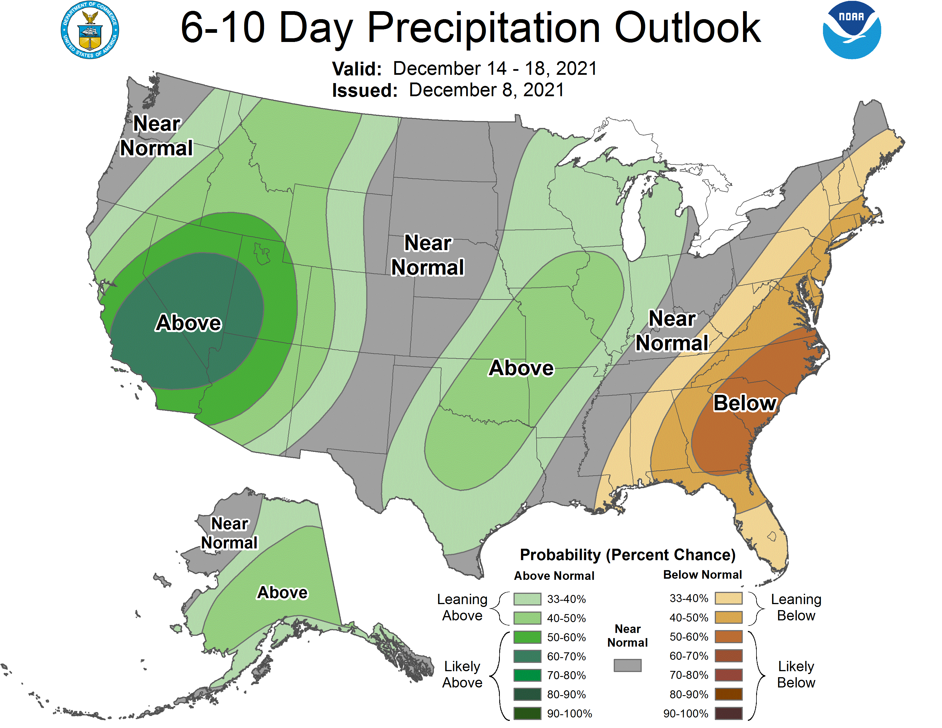
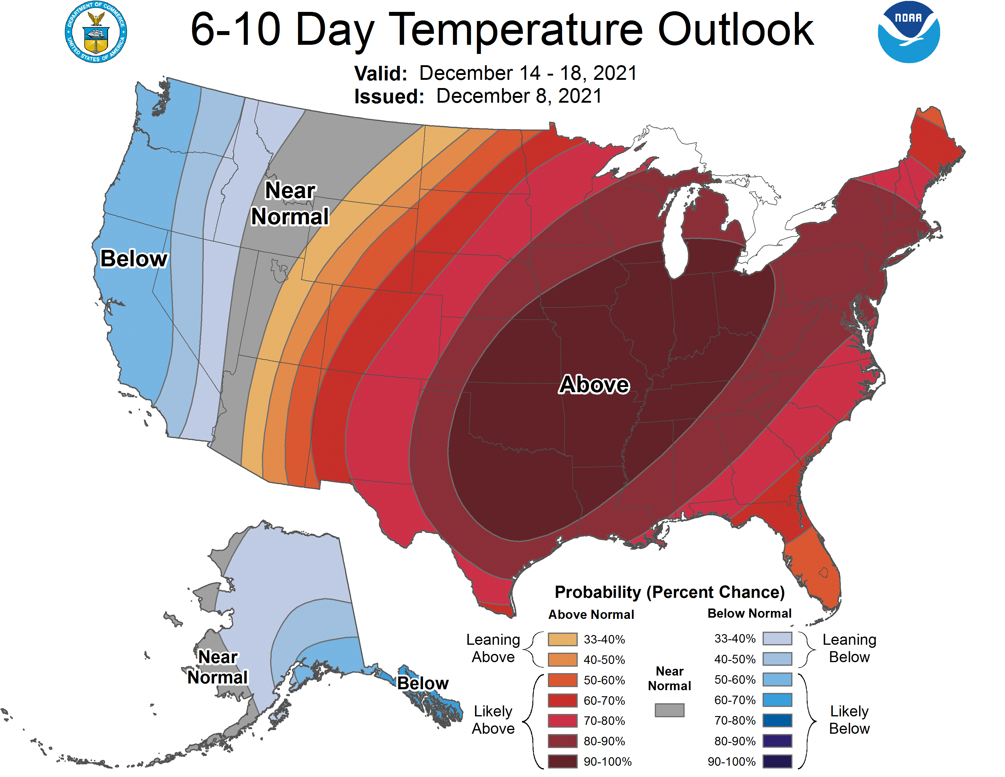
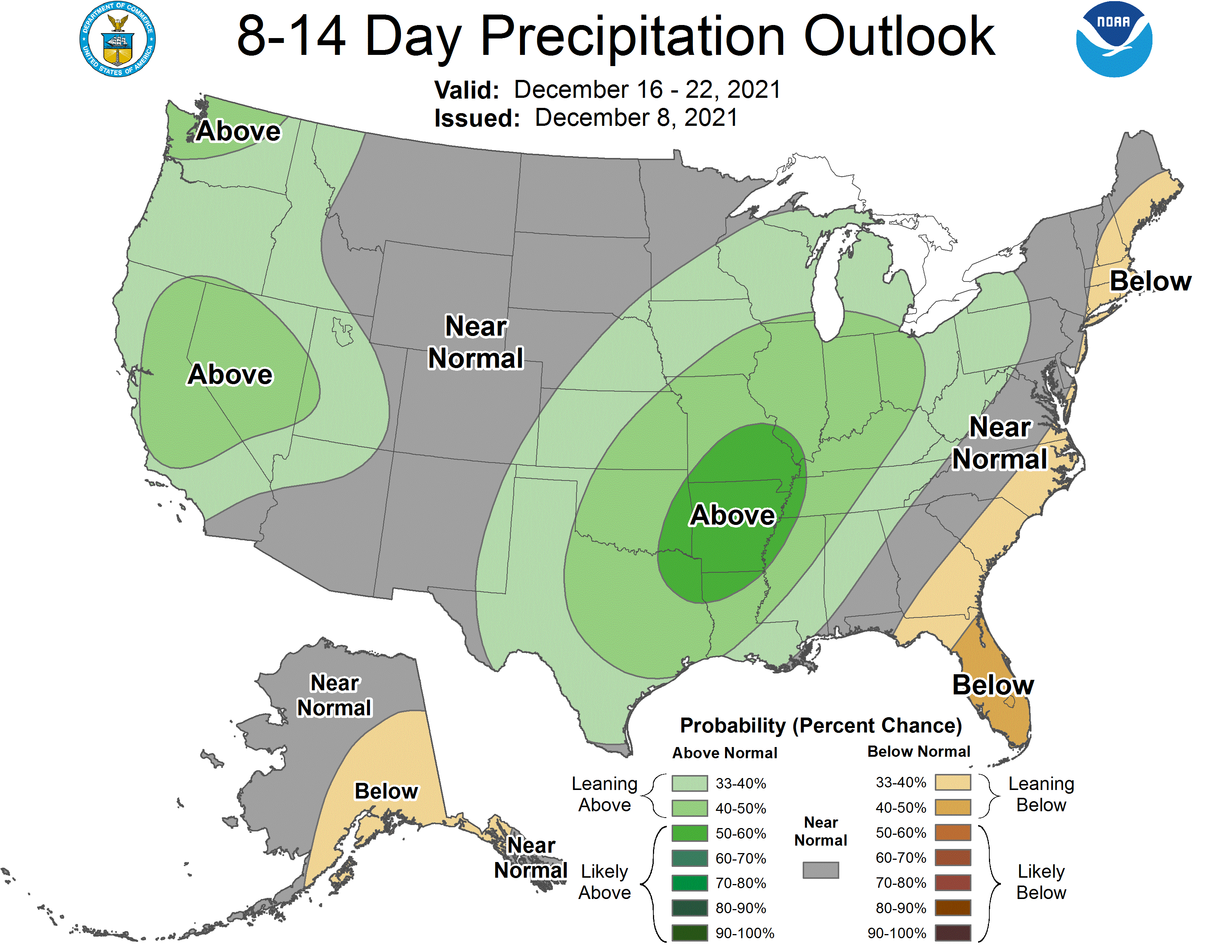
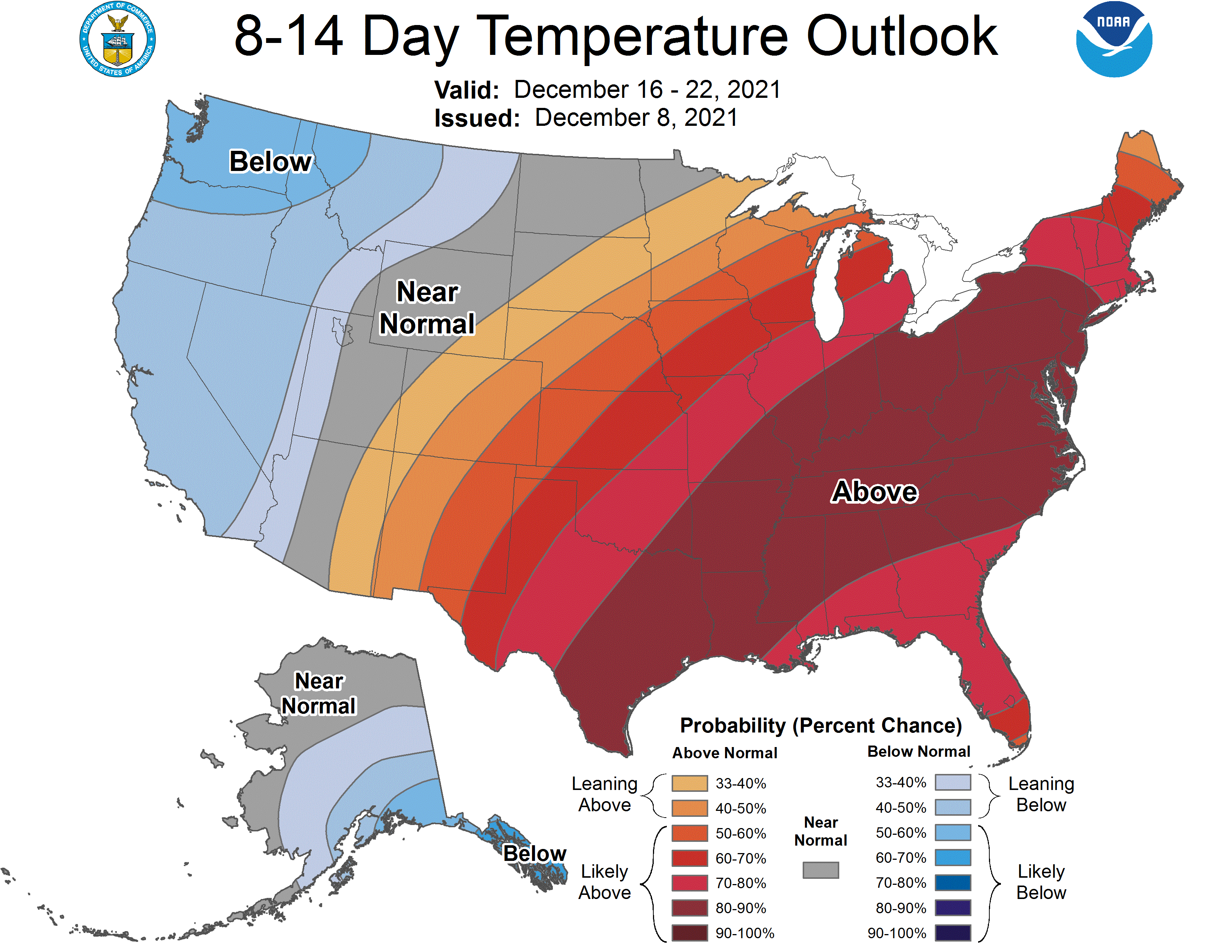
Global ensembles are indicating above-average precipitation and near to above-average temperature across the region in the extended.