Forecast By SnowBrains Chief Meteorologist – Eric McNamee
5:50 PM MST, 1/20/2022
Forecast Summary:
A shortwave trough will move through Utah Thursday night/Friday and bring 2-6″ of snow to Utah’s Wasatch, possibly higher amounts in localized spots.
Snow will initially start Thursday night and continue on and off through the day Friday.
Showers will taper off by Friday evening as the trough moves south and east.
The pattern looks to change to be more active as we get near the end of the month.
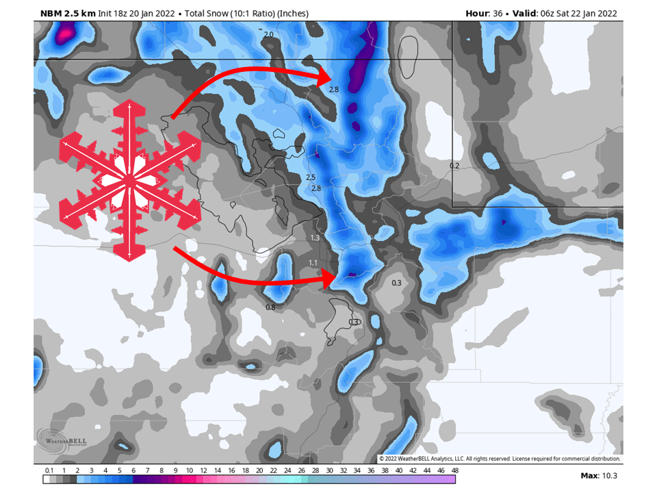
Resorts that will see the most snow are Alta, Snowbird, Brighton, Solitude, Deer Valley, Park City, Canyons, and Beaver Mountain.
Short-Term Forecast:
Thursday-Saturday:
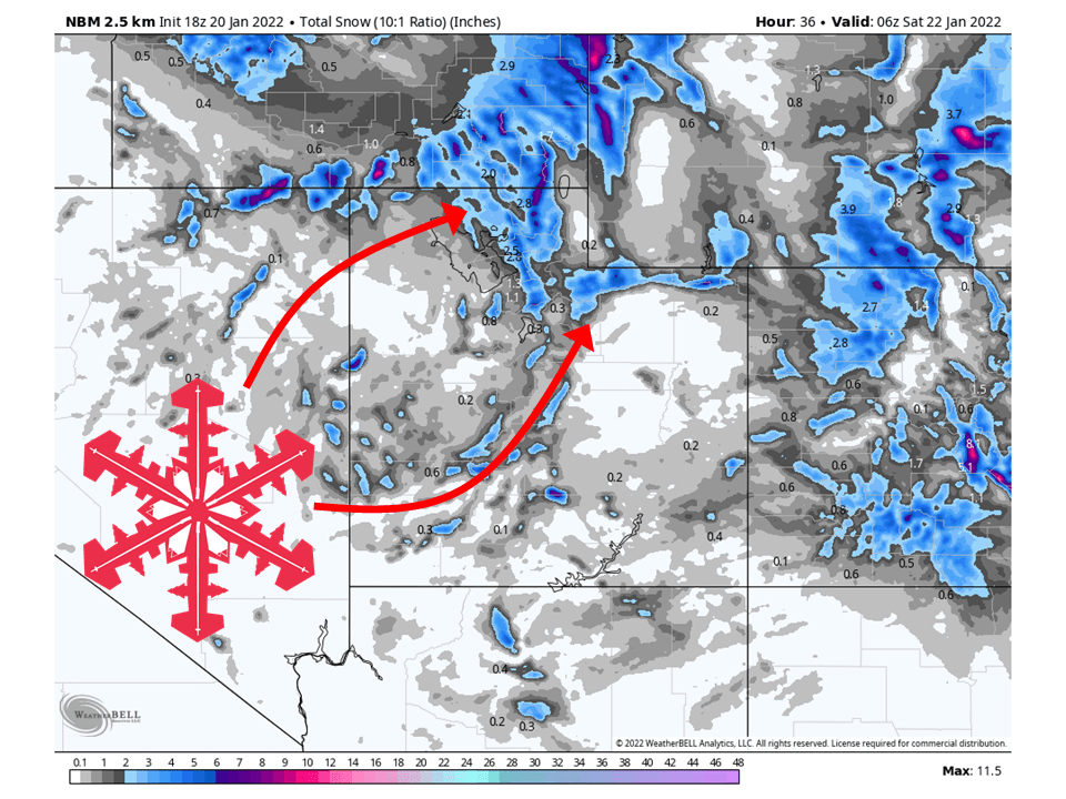
A shortwave trough will move through Utah Thursday night/Friday and bring 2-6″ of snow to Utah’s Wasatch, possibly higher amounts locally.
Snow will start later this evening, with the main band of snow moving through from north to south tonight.
The main band of snow will quickly move through the state and be positioned over southern Utah by Friday morning.
Residual snow showers will continue behind this band over northern Utah into Friday afternoon.
By Friday evening, most snow showers will taper off as the system moves to the south and east.
Forcing is weak with this shortwave, so snow showers will be relatively light, meaning the bulk of the accumulations come with the main band of snow.
Dry weather is then expected heading into this weekend.
Long-Term Forecast:
Sunday-Wednesday:
Relatively quiet weather continues through the first part of next week, with a system possibly brushing by Tuesday.
I am not expecting much in the way of accumulations with this system.
Extended Forecast:
Sunday and Beyond:
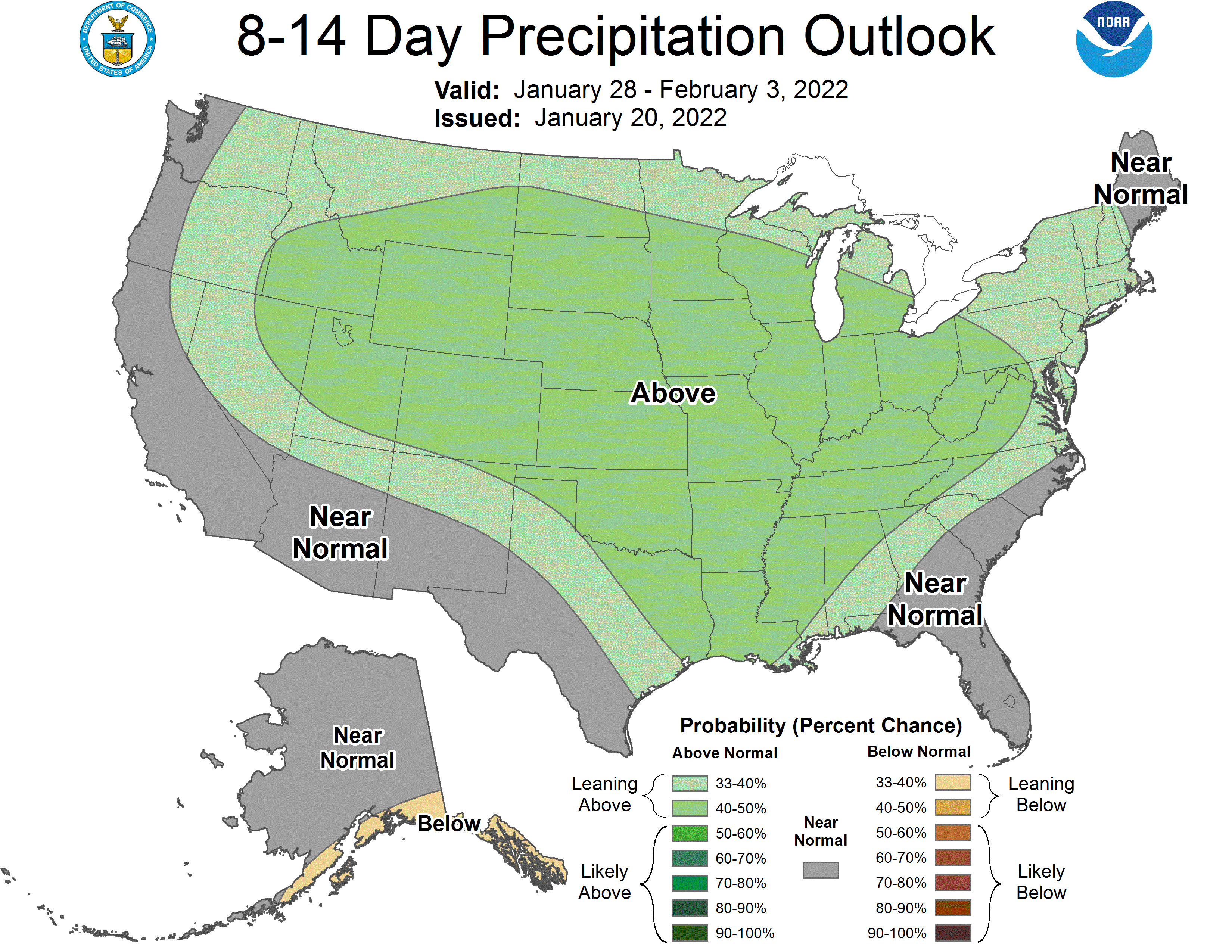
Global ensembles indicate below-average precipitation to begin in the extended, with above-average precipitation near the end of the month.
A pattern change looks to take place in the first part of February.