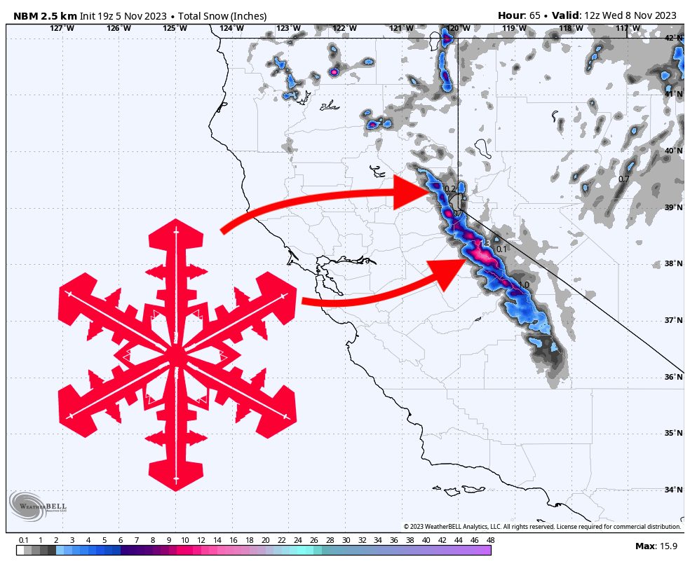
A minor storm will move through California on Monday, with a slight secondary dusting on Tuesday afternoon. Totals will range from 2 to 6 inches.
Snowfall will begin in the highest peaks of the Tahoe Basin on Monday morning, peaking in intensity on Monday afternoon/evening and creeping south. The precipitation should be wrapped up in Tahoe by sunrise on Tuesday and a bit later in the morning at Mammoth.
A slight secondary wave will move through on Tuesday afternoon, dropping just a dusting on top of what already fell on Monday.
In terms of totals, the deepest snowfall will be found in the western side of the Tahoe Basin, with totals likely in the 4-6″ range. However, since this storm is coming in warm and wet, I could see the higher elevations and colder temperatures at Mt. Rose & Heavenly boosting their totals to match Palisades, Sugar Bowl, and Kirkwood.
Looking ahead, another minor system will move through California on Friday and into the weekend. It’s still very unclear how much snow this will produce for the region, but it’s looking like storm totals of less than an inch. A much stronger system is appearing in the models for early next week that could bring much more significant totals.