Forecast By SnowBrains Meteorologist – Eric McNamee
10:45 AM MST, Jan. 14, 2021
Forecast Summary:
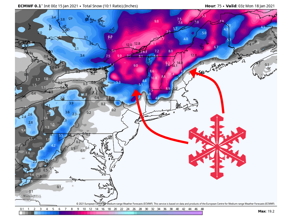
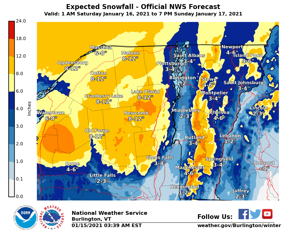
A strong closed low is expected to develop this weekend across the northeast, bringing 6-18″ of snow to higher elevations of interior New England.
Snow may change over to rain at times due to the warmer air associated with this system.
Conditions look to dry out heading into next week.
Resorts likely to get the most snow are Killington, Okemo, Jay Peak, Whiteface, Loon, and Sunday River.
Short-Term Forecast:
Friday-Sunday:
A strong closed low is expected to develop this weekend across the Northeast, bringing 6-18″ of snow to higher elevations.
This low is currently situated over the Ohio Valley but will track to the east today and be over the region later today.
A lot of moisture and warm air will be associated with this low so snow may change over to rain at times, with all snow falling in the highest elevations and interior New England.
Long-Term Forecast:
Monday-Thursday:
By Sunday afternoon conditions will clear out as the low move off to the east and driest air fills in over the region.
Conditions look to remain relatively dry Monday and Tuesday before another disturbance moves through Wednesday.
Snowfall totals are uncertain at this time with this disturbance.
Extended Forecast:
Thursday and Beyond:
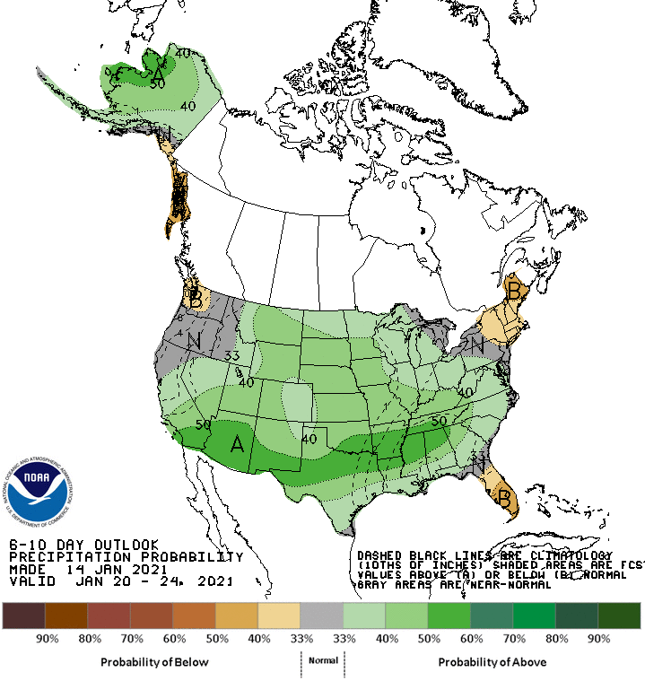
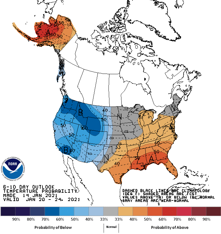
Global ensembles indicate precipitation being slightly below-average in the extended period of the forecast, with near-average temperatures.