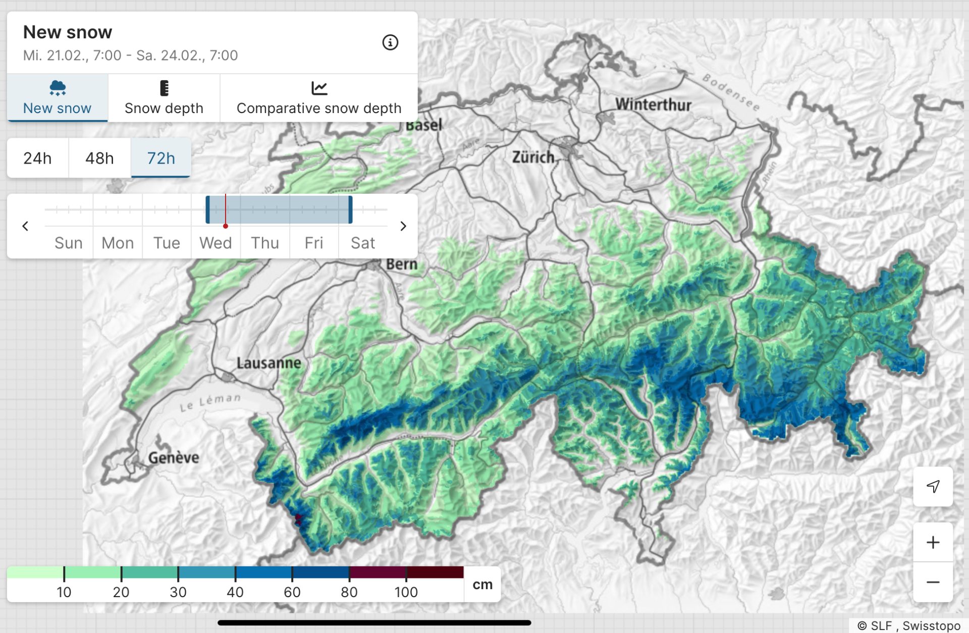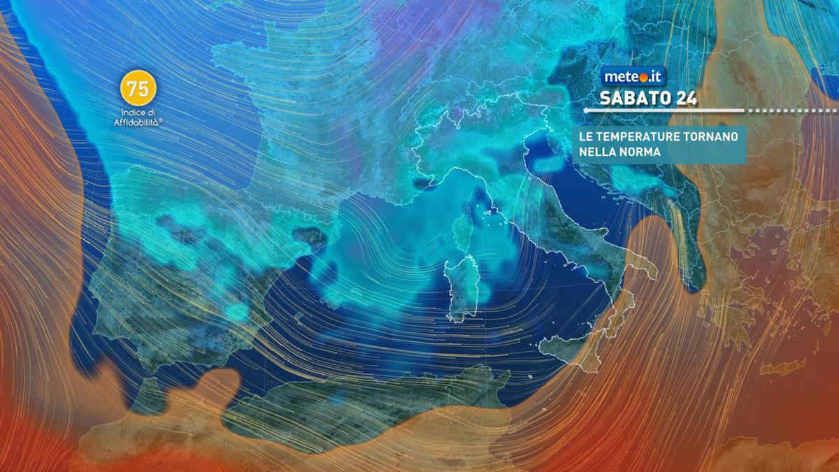
After above-average temperatures throughout all of February in the European Alps, many ski resorts have been looking more like late April than peak-season winter in terms of snow cover. Some lower-lying resorts have been struggling to keep runs open and some smaller resorts have even been forced to close, such as Bugnenets-Savagnières (Switzerland) and Monte Terminillo (Italy).
With the school holidays in many European countries in full swing, the existing snowpack has been compacted even more by thousands of skiers. But fret not, several storm fronts are on the horizon, bringing more than 1 meter (40 inches) of snow to several ski areas. The majority of snow will fall on the southern side of the Alps, around the Swiss cantons Ticino/Tessin and Grischa/Graubünden, and the Italian municipalities of Bergamo, Sondrio, and Udine, the latter of which is at the Slovenian border.
On Thursday night the snow line will drop to between 1,200 and 1,500 meters (3,927–4,921 feet) in most areas and will drop to around 1,100 meters (3,608 feet) on Friday. Moderate southern wind will be prevalent in the mountains, bringing snow to the southern Alps but turning to northwesterly winds during the day.
The biggest snowfalls are expected at the Bernina Massif at the Swiss-Italian border, benefitting resorts around the Engadine valley specifically, and the Italian-Slovenian border, benefitting resorts near the Sella Nevea Pass. About half of the anticipated snowfall will happen on Friday, February 23, while the other half is spread out from Saturday to Tuesday next week. If you are planning on traveling on Friday, be prepared for possible disruptions to public transport and roads in the South-Eastern Alps.
According to OpenSnow, the seven resorts that will see the most snowfall over the next five days are:
#7 San Simone, Italy — 107 cm (42 inches)
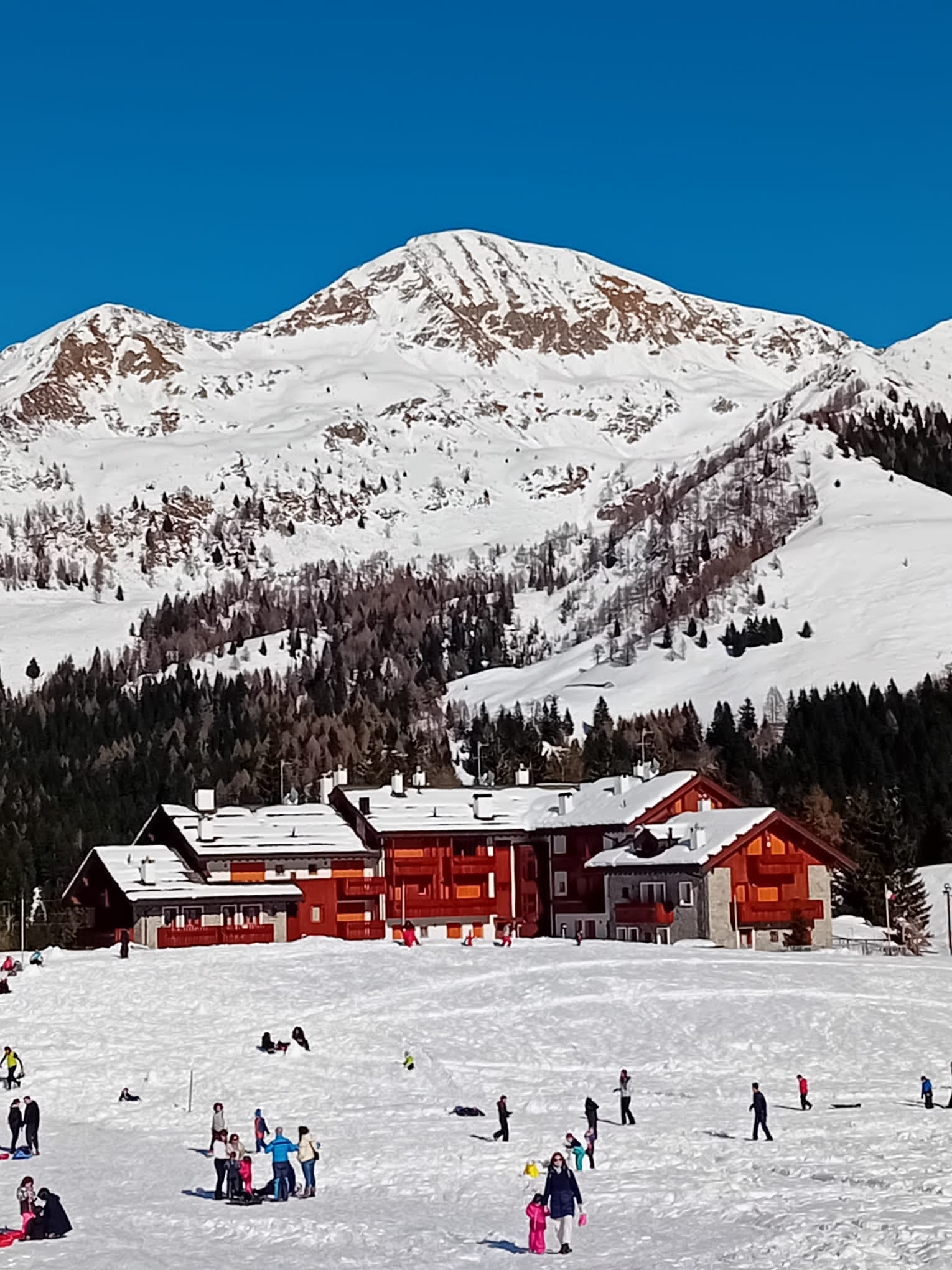
#3 Corvatsch (St. Moritz), Switzerland
Sella Nevea – Kanin, Italy/Slovenia
San Bernardino, Switzerland
Ravascletto, Italy — 109 cm (43 inches)
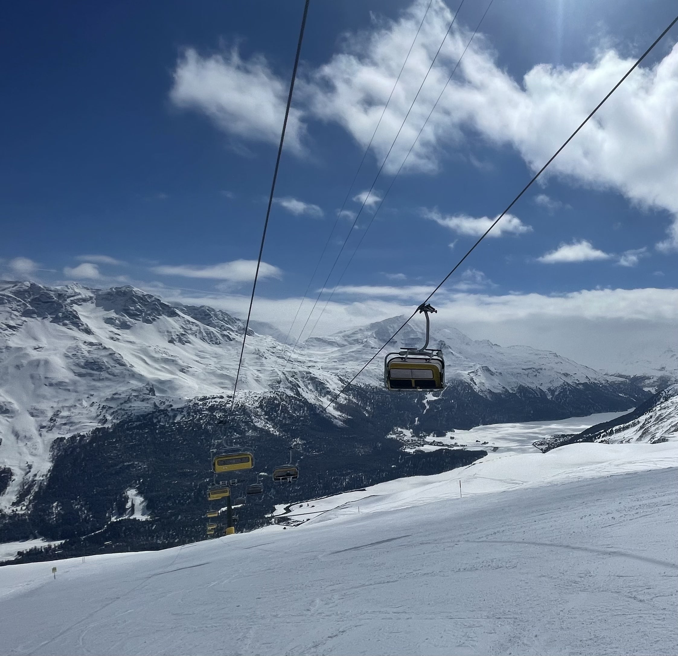
#2 Piazzatorre, Italy — 112 cm (44 inches)
#1 Valchiavenna, Italy — 122 cm (48 inches)

