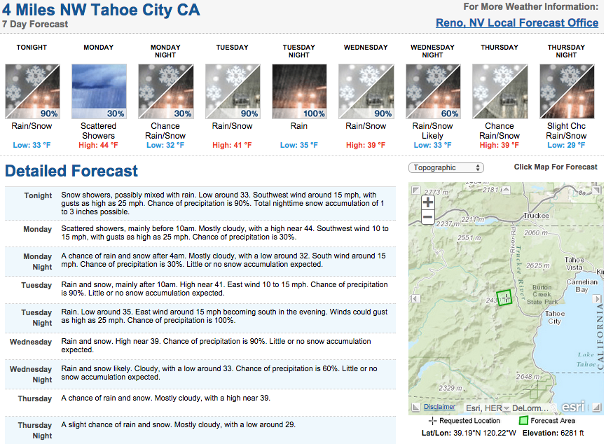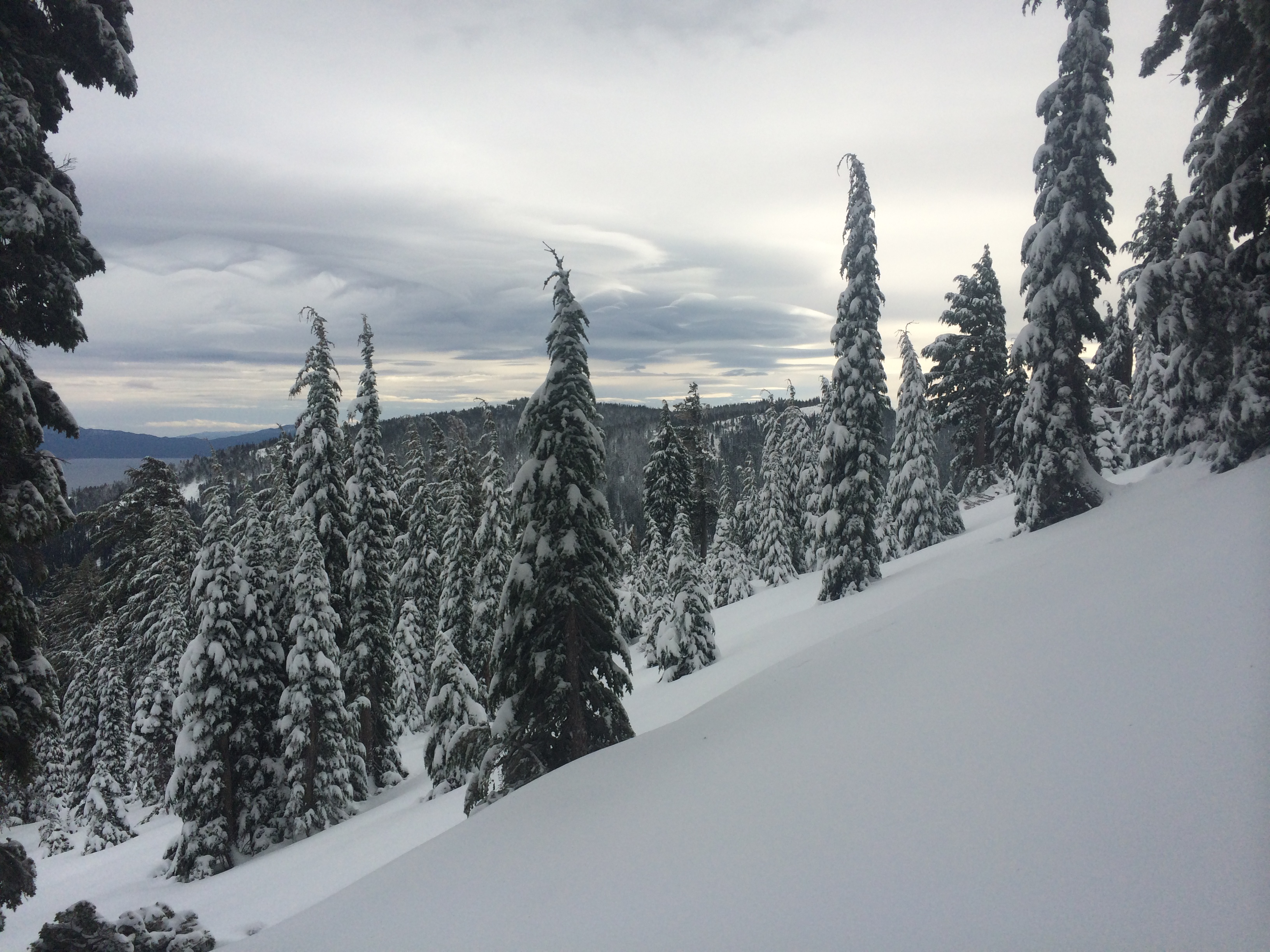
It’s nice to finally see some decent snow coverage on the mountains around the Tahoe Basin. We got out on the west shore this weekend to check out the goods that mother nature sent us, and it was sweet.
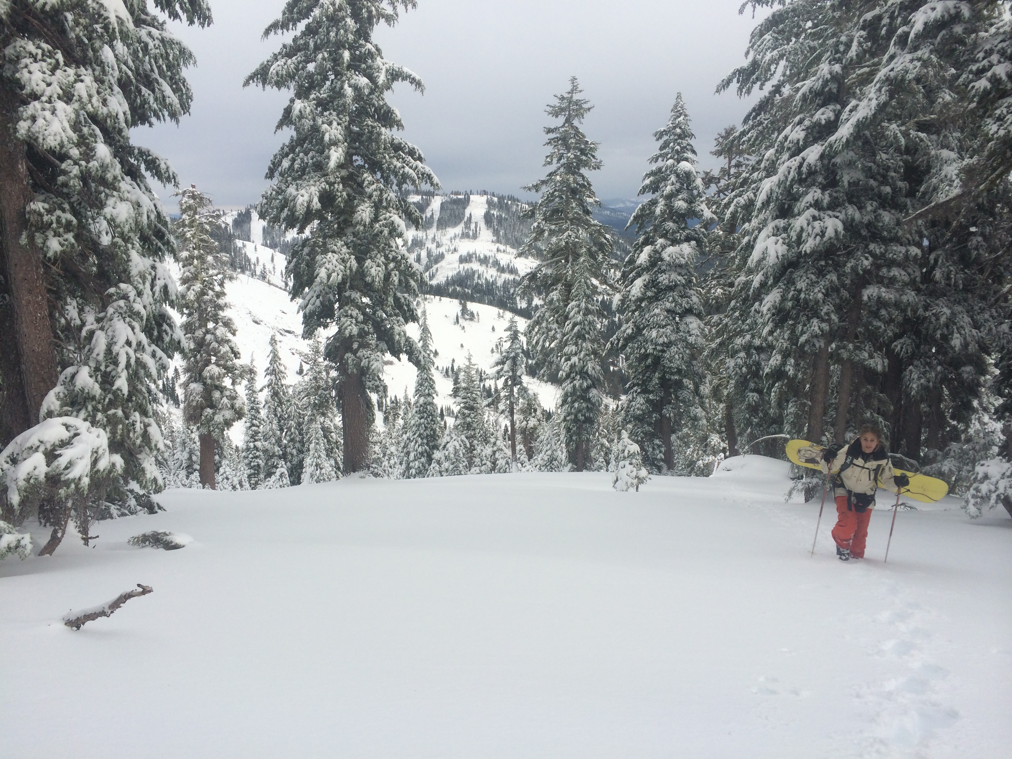
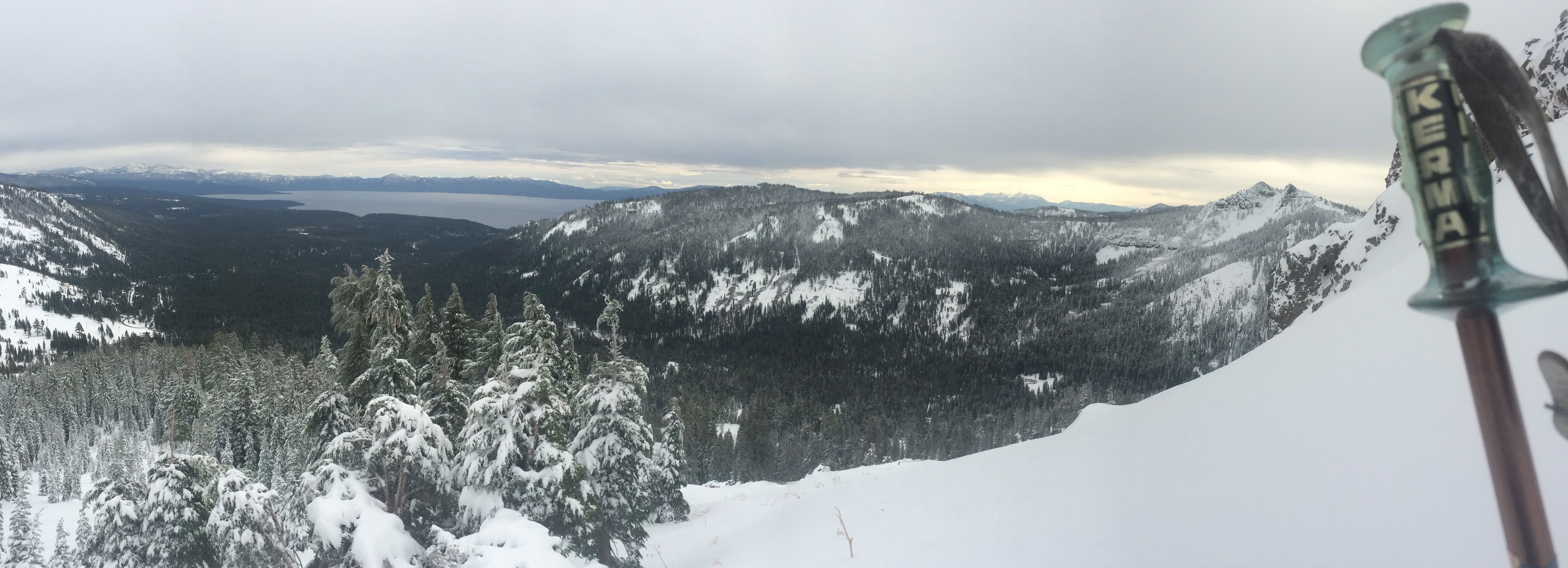
At the higher elevations, the snowpack is approaching 24” deep in areas, and only looking to get deeper this week. We have 4-8” forecasted for the mountains through the rest of today (Sunday), and NOAA is calling for another 2+ feet on top of that by late Wednesday.
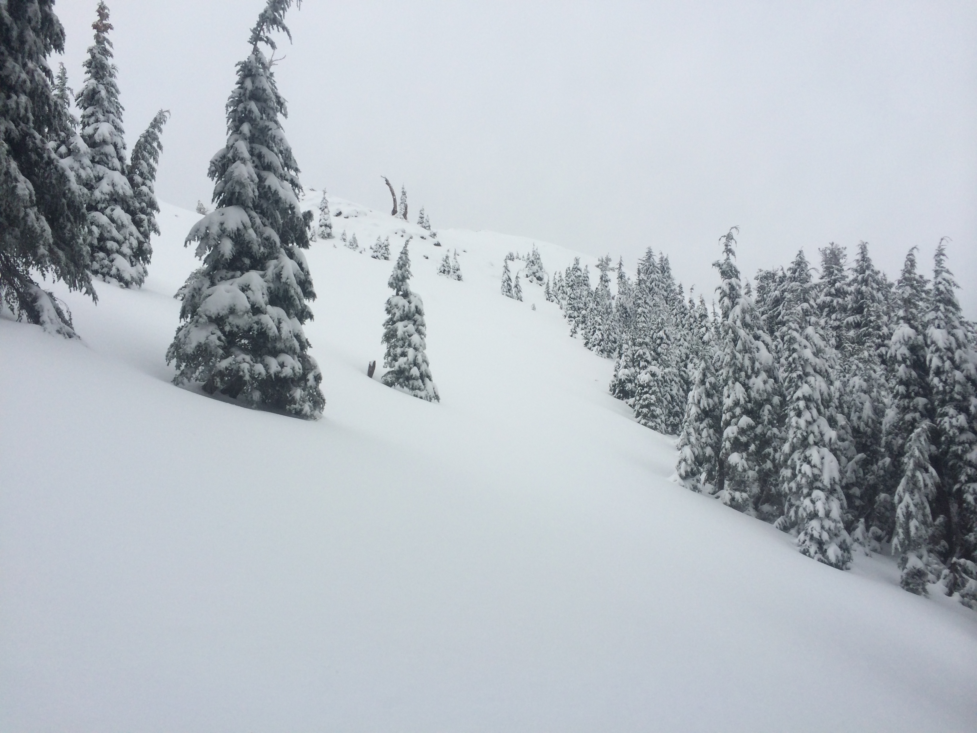
We found powder up high (above 7700 feet) and powder topped with a crunchy rain crust at lower elevations. The crust at the lower elevations made for pretty crappy skiing conditions, but the snow up top was soft, cold, and fast.
We did encounter a 12” thick wind slab below the ridge at around 8,400 on a north-east facing aspect, which seemed poorly bonded to the rain crust from last weekend’s storm. Hopefully this does not become a deep instability issue as our snowpack continues to grow.
All in all it was a great day to be skiing in Tahoe and it looks like the snow gods are about to send much more our way. Winter has finally arrived in Lake Tahoe.
NOAA Forecast for Lake Tahoe: