Brought to you by 10 Barrel Brewing
Report from December 20, 2020
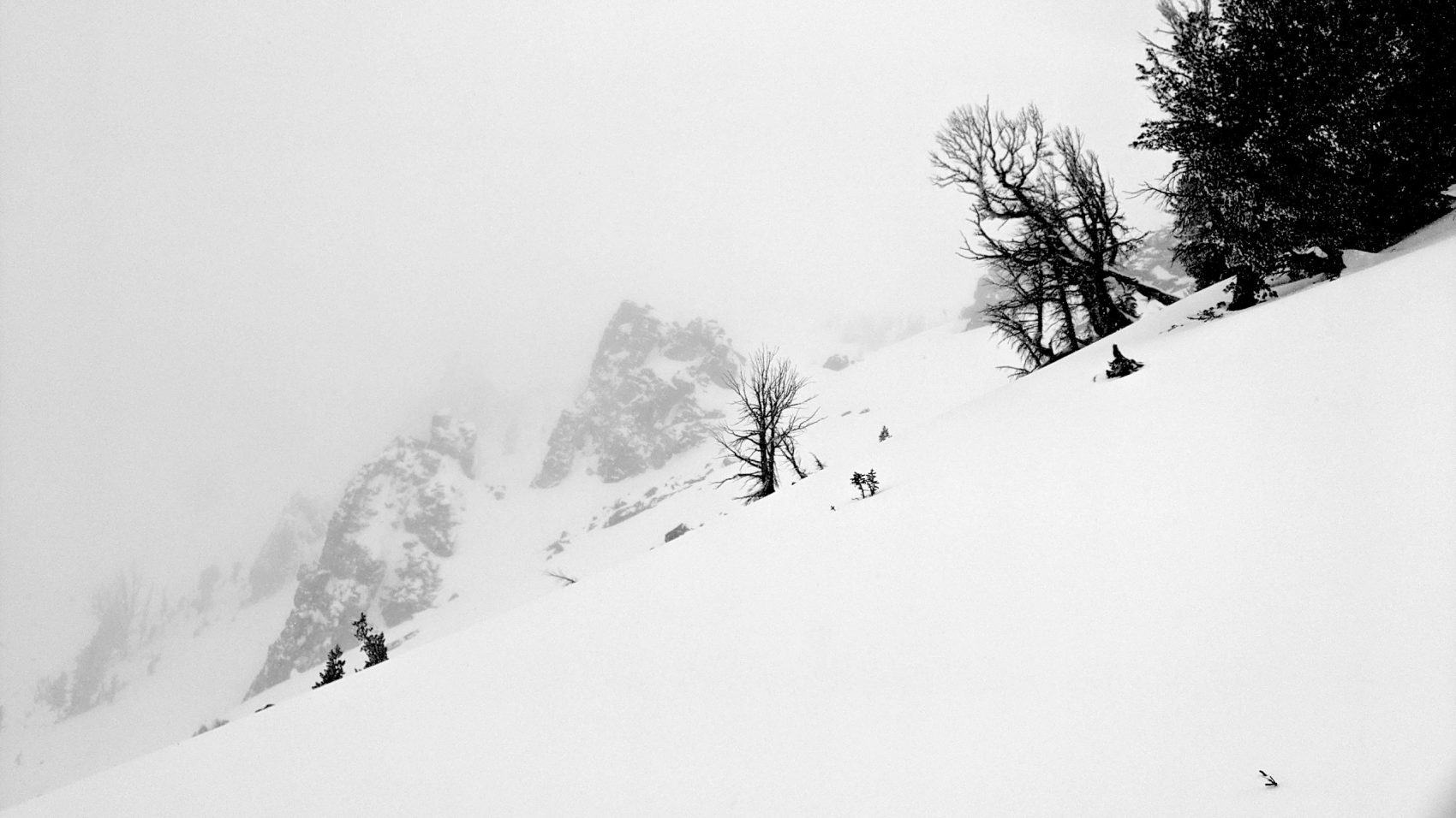
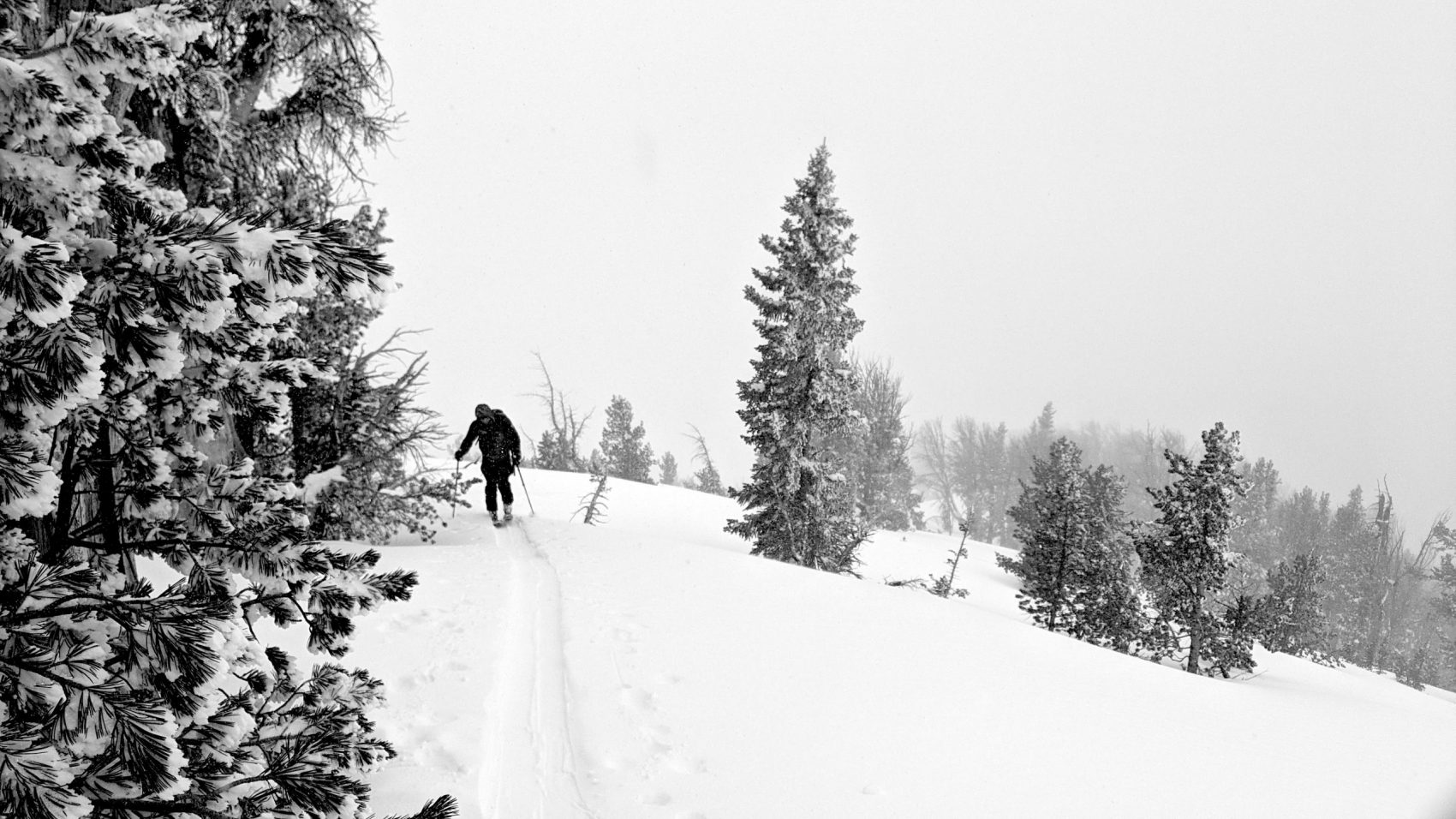
Rich & I went walking around in the Tetons today.
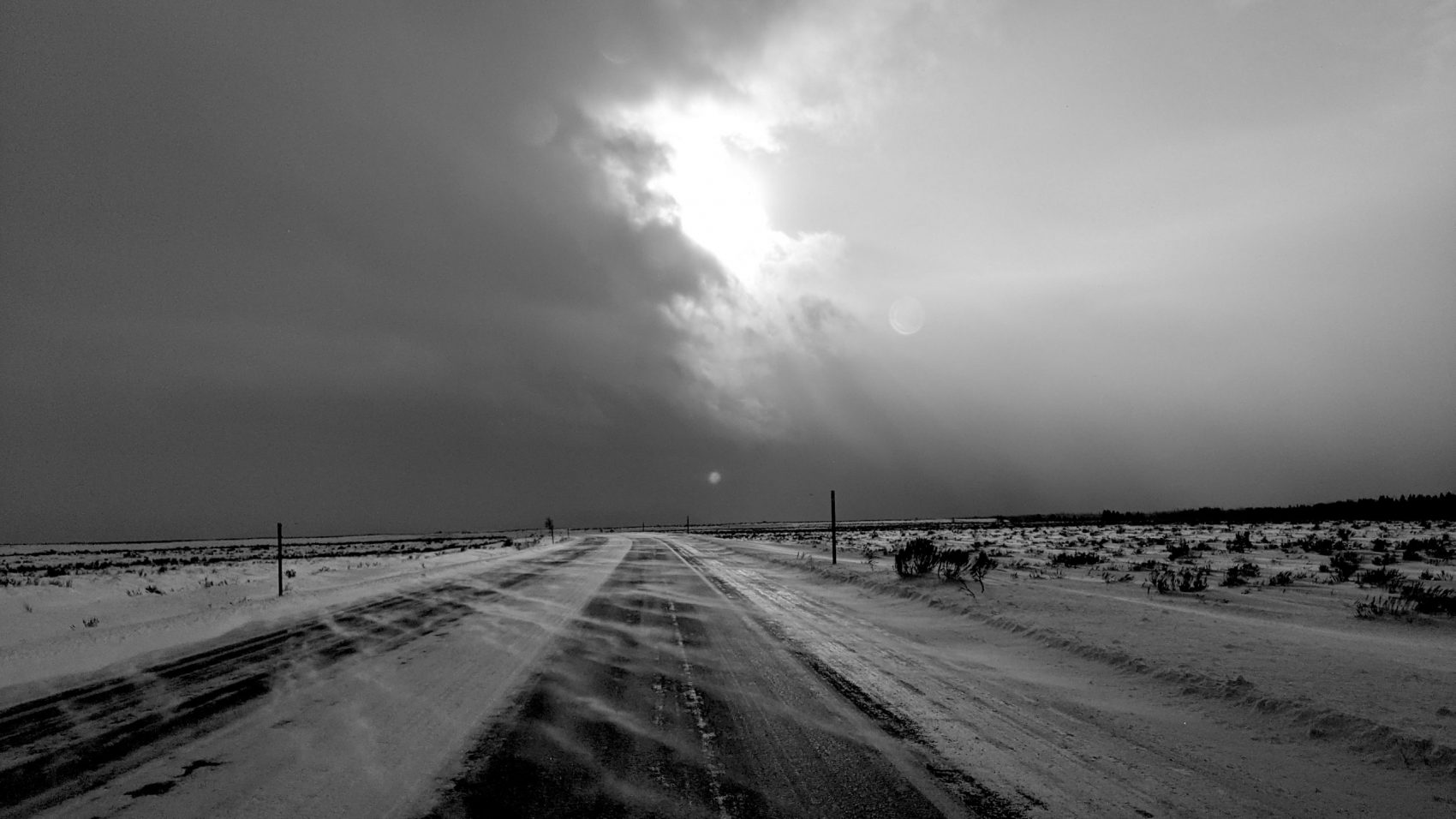
It was warm, windy, and slabby out there.
We really got blasted by the wind at times.
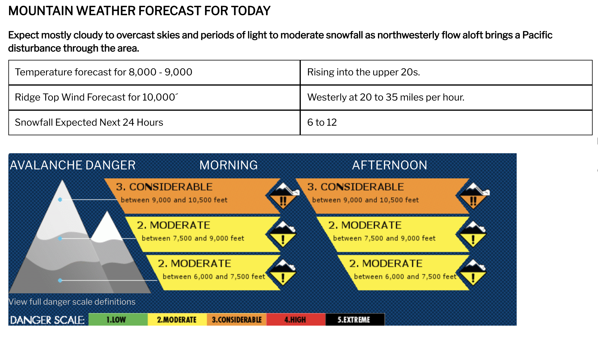
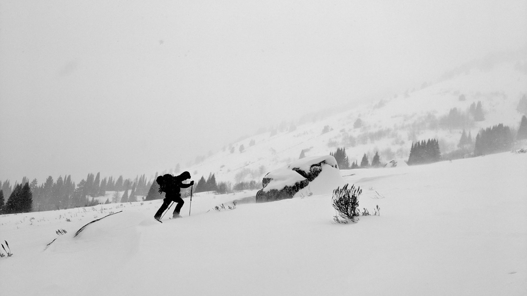
We hiked up and skied a mellow, low-angle run to be safe since avalanche conditions today are rated as CONSIDERABLE up high and the avalanche danger was increasing all day.
We didn’t see any signs of avalanches but we did see some cracking in the snowpack today and the snow most certainly was slabby.
You could feel the wind-pressed slabby snow all over the mountain today.
The snowpack was upside down in many spots.
The skiing was… weird, but fun.
Wet, dense, upside-down, a bit punchy, and very maritime snowpack feeling snow today.
The snow today was great base-building snow!
I didn’t hit a single rock (first time this season).
When we got back to our car in the afternoon the temperature was 37ºF.
NOAA is forecasting 12-15″ of snow for the Tetons tonight and tomorrow.
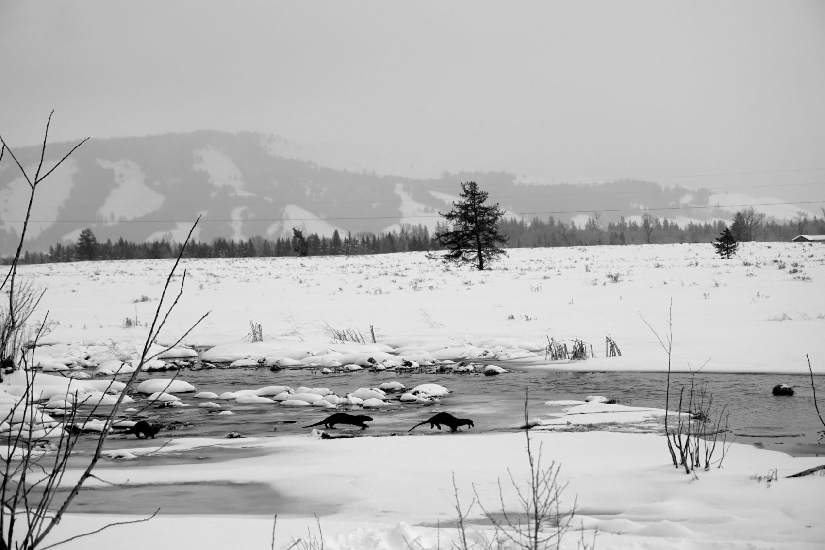
On our way out we saw otters kicking the crap out of fish.
Saw all three of them catch 3 fish each in about 7 minutes.
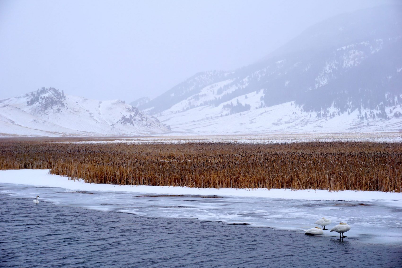
We also saw a big herd of elk a-grazing, a flock of swans a-swimming, and a horse drawn sleigh ride.
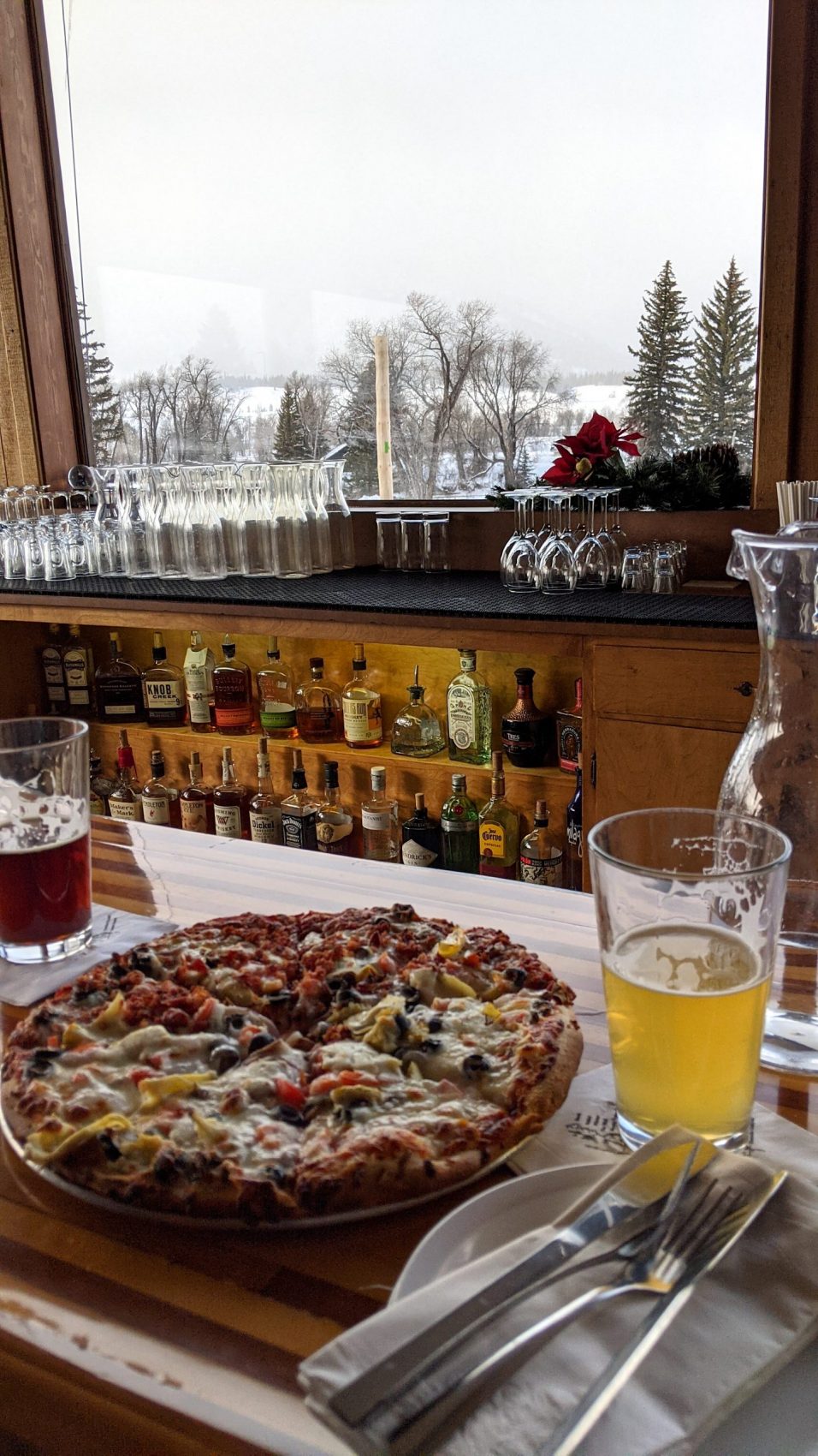
Apres-ski pizza and beer was a good thing.
Strong southwesterly to northwesterly ridgetop winds impacted the region yesterday. These winds will continue to transport new and available snow throughout the day, and dangerous avalanche conditions will result above 9,000 feet. Yesterday, skiers and riders triggered several small slides in the mid and lower elevations. While skiers and riders could trigger similar slides on density breaks within the recent snowfall, the primary concern will be small to large persistent slab avalanches. Skiers and riders could easily trigger these slabs in steep terrain at all elevations, and the highest consequences will be on upper elevation slopes where these slabs are deepest. Cautious route finding and conservative terrain choices will be essential for safe travel in avalanche terrain.
– JHavalanche.org, 12/20/20
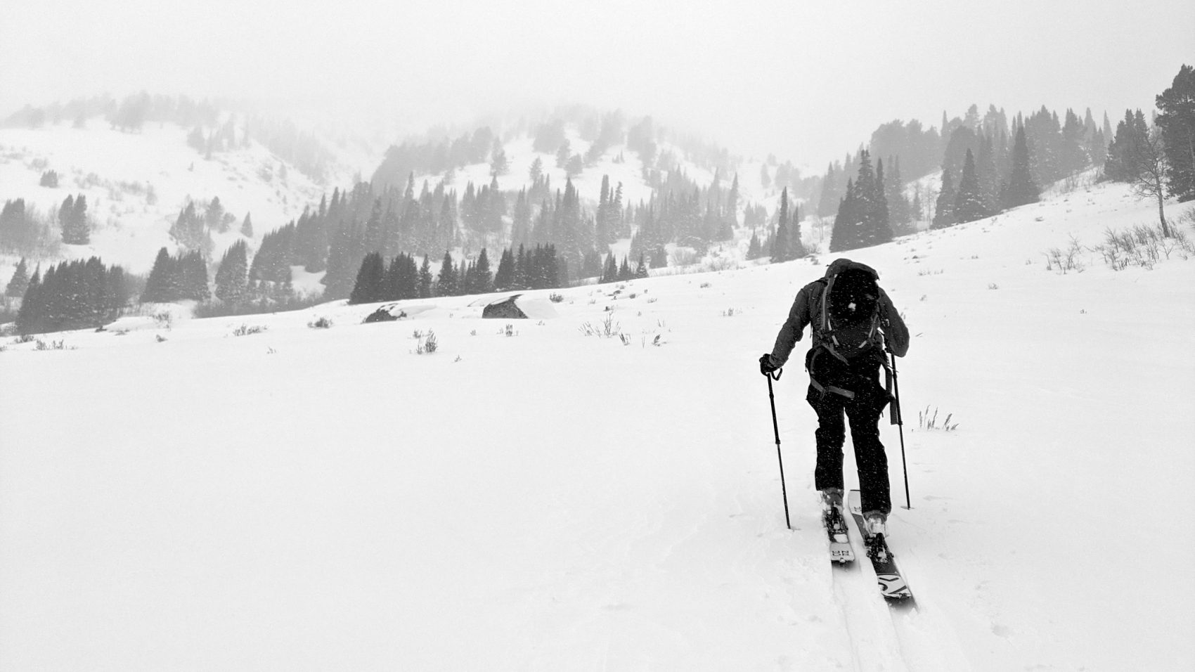
Avalanche Forecast:
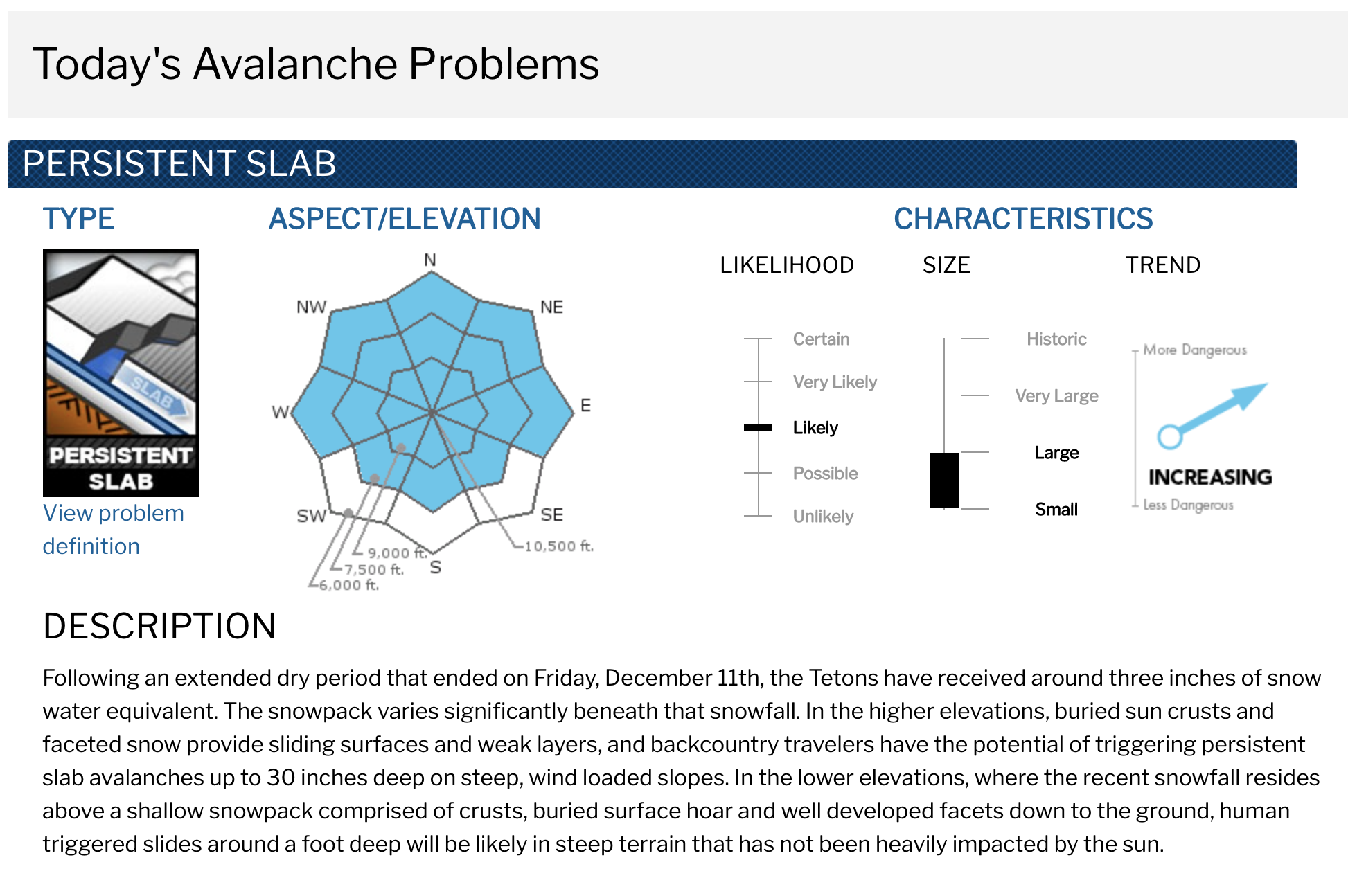
Weather Forecast:
Winter Weather Advisory
URGENT - WINTER WEATHER MESSAGE
National Weather Service Riverton WY
1251 PM MST Sun Dec 20 2020

...Significant snow continues over the Tetons and portions of
Yellowstone National Park through Monday morning...

Periods of moderate snow will continue, resulting in significant
snowfall through Monday morning.

Yellowstone National Park-Teton and Gros Ventre Mountains-
Including the cities of Lake, Mammoth, and Old Faithful

...WINTER WEATHER ADVISORY NOW IN EFFECT UNTIL NOON MST MONDAY...

* WHAT...Snow expected. Total snow accumulations of 5 to 10
  inches, with locally higher amounts of 12 to 15 inches over
  the higher peaks of the Tetons. Snowfall accumulations of 3 to
  6 inches in the surrounding mountains. Winds gusting as high
  as 45 mph.

* WHERE...Yellowstone National Park and Teton and Gros Ventre
  Mountains.

* WHEN...Until noon MST Monday.

* IMPACTS...Plan on slippery road conditions. The hazardous
  conditions will impact the morning and evening commutes over
  the mountain passes.

* ADDITIONAL DETAILS...Motorists should be alert for rapid
  changes in visibility in snow, as well as slick and snow
  covered roads, especially across Teton and Togwotee Passes.
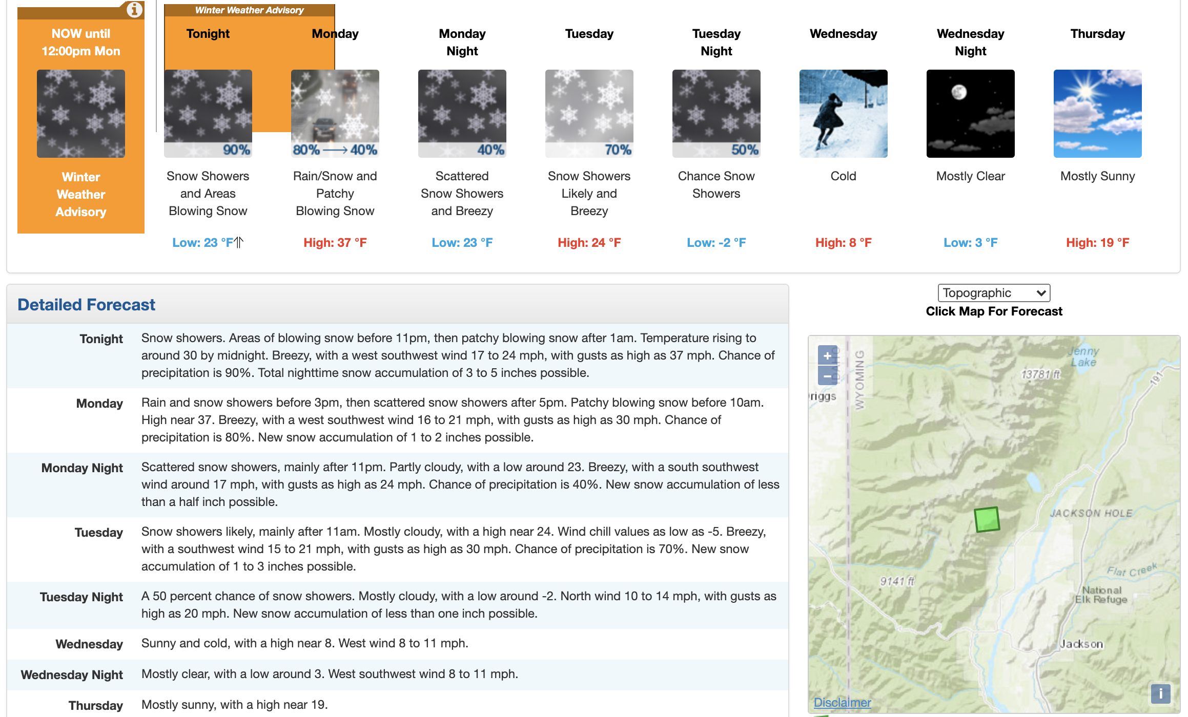
Photos:
