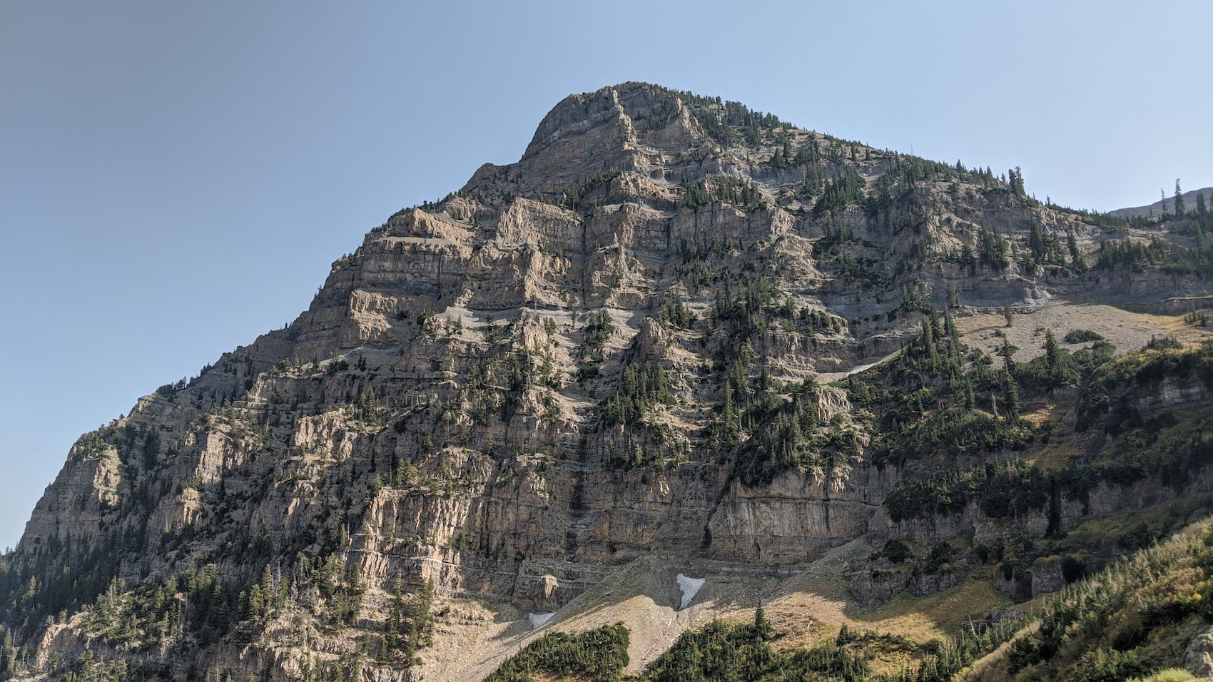
11,749′ Mt. Timpanogos, UT is the most beautiful place I’ve been in the Rocky Mountains.
Yesterday, September 16th, 2020, I hiked to the top of Mt. Timpanogos from the Aspen Grove trailhead near Sundance Ski Area.
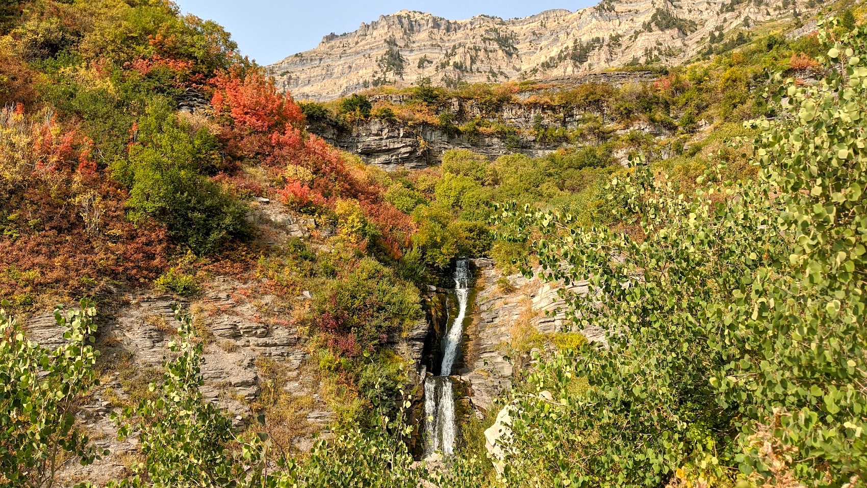
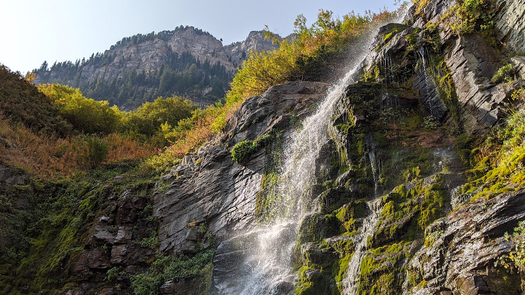
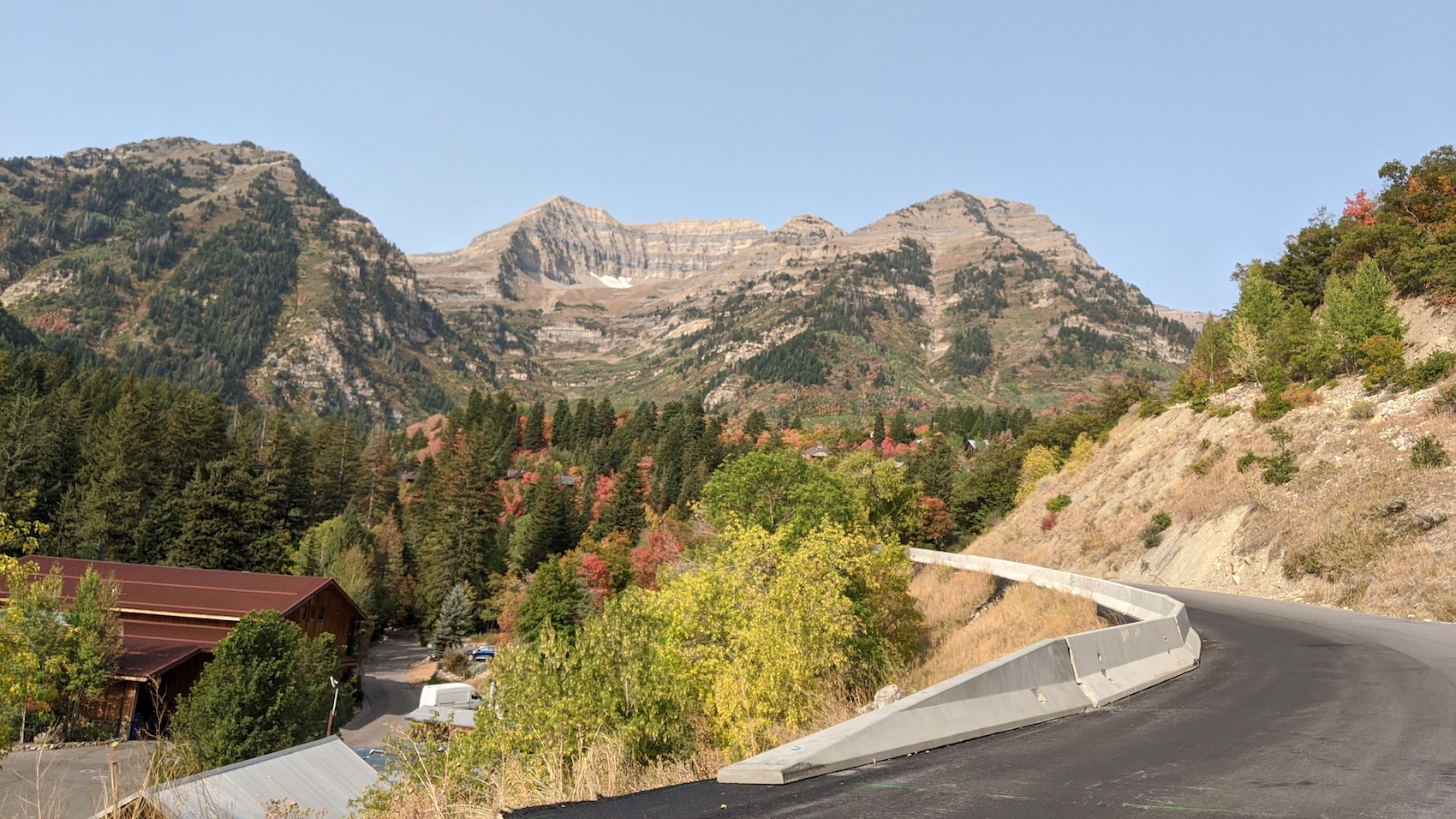
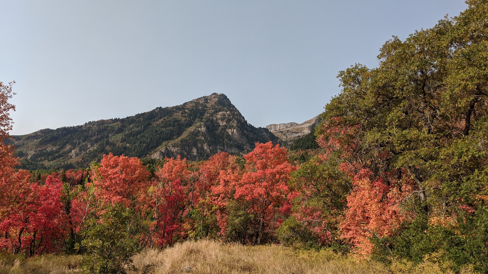
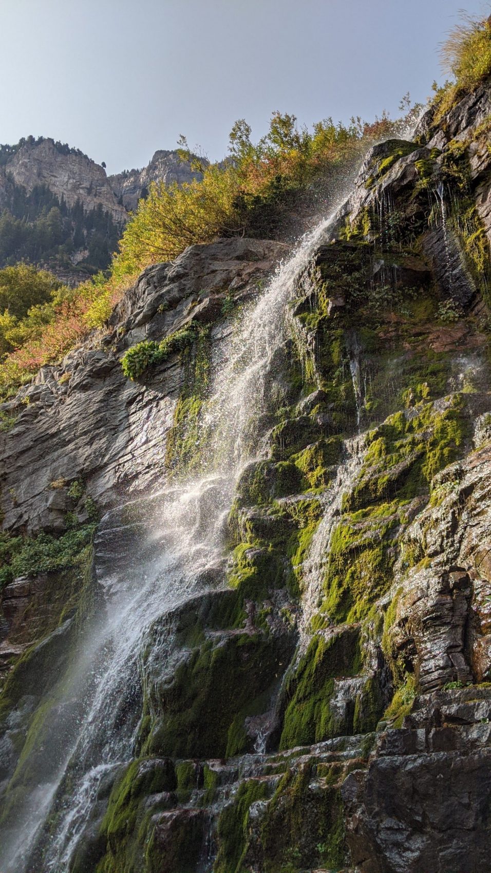
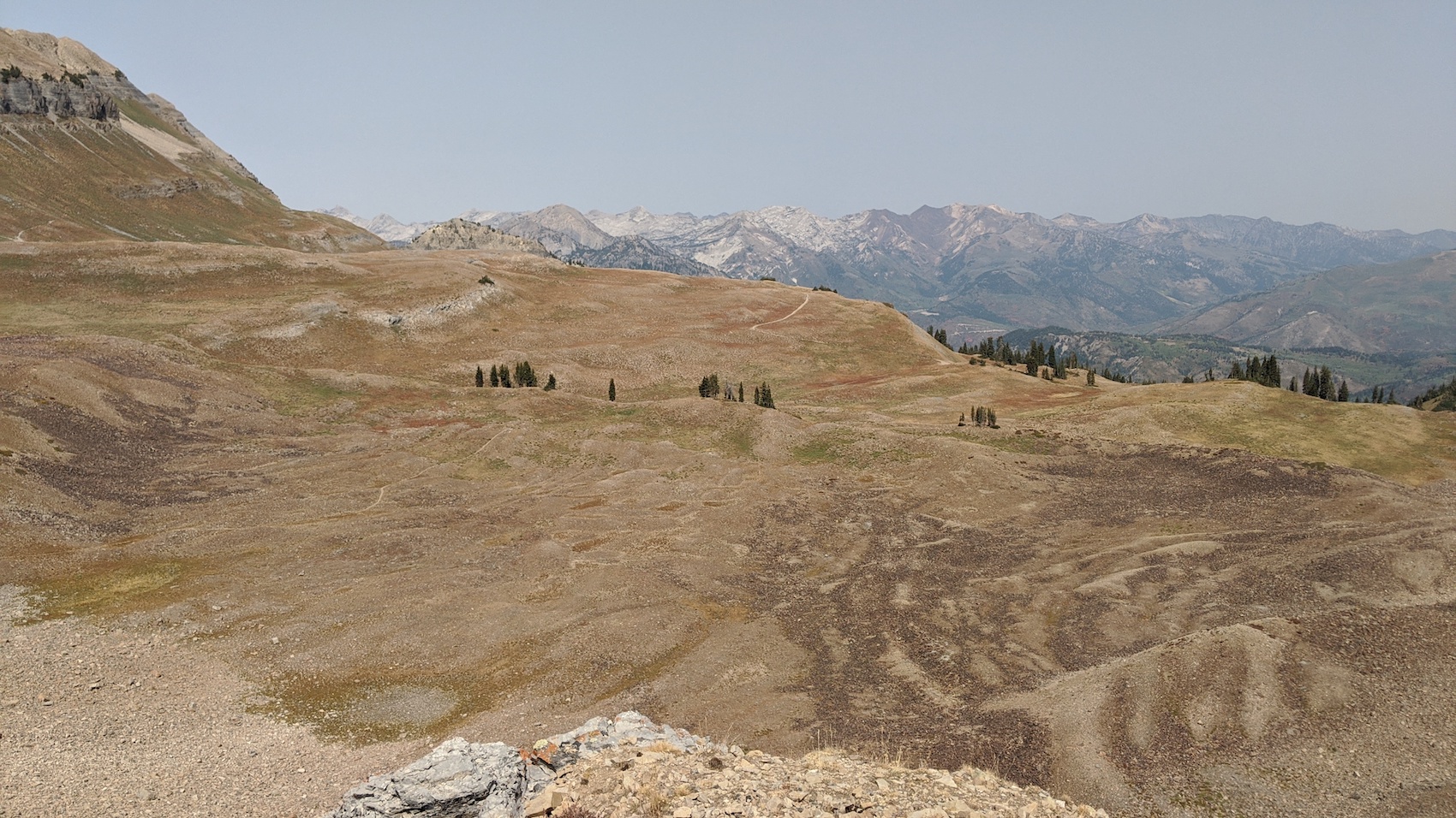
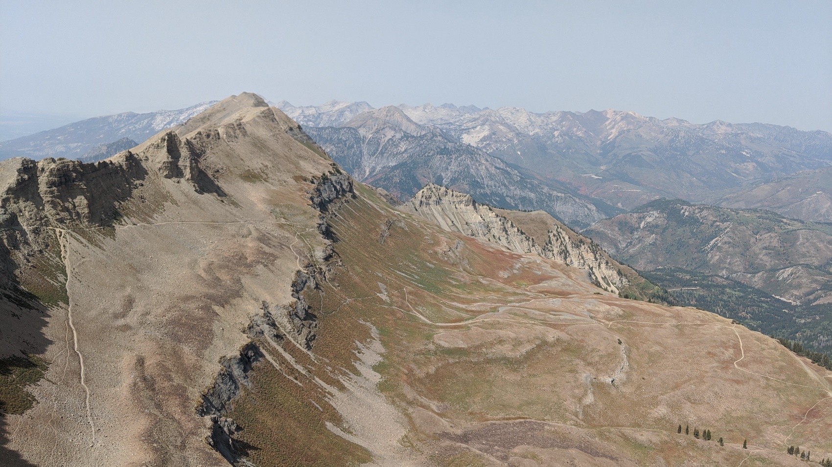
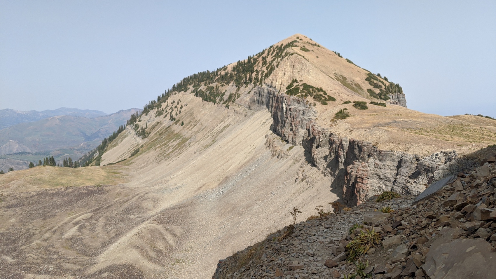
The bottom is lush and inviting.
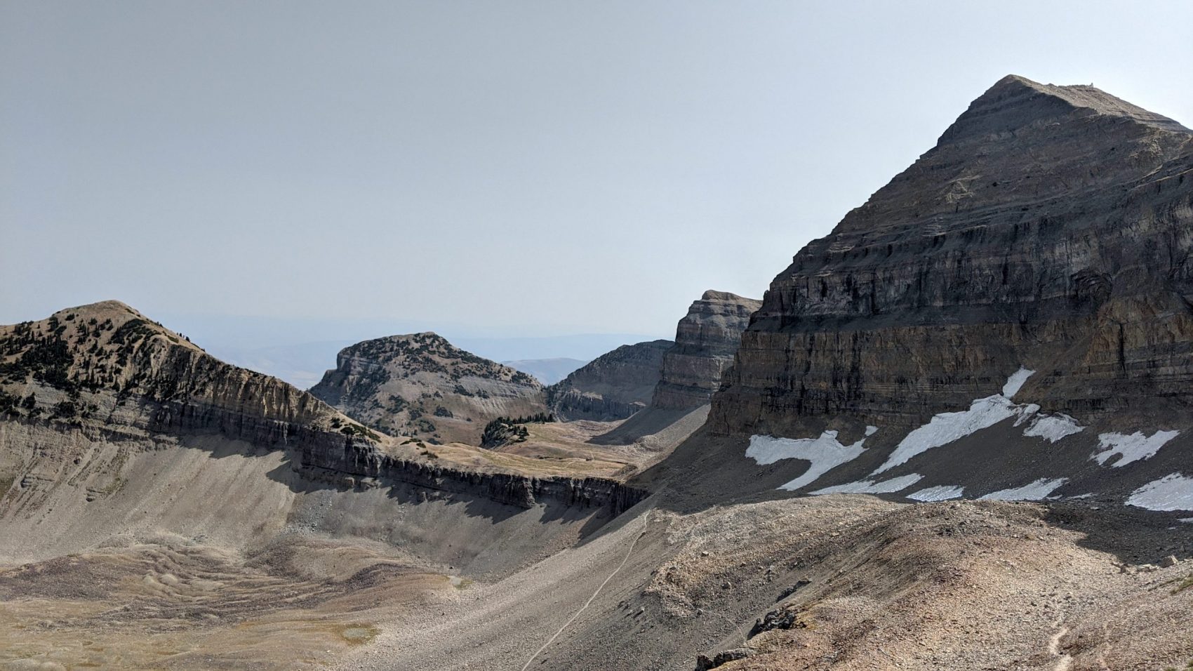
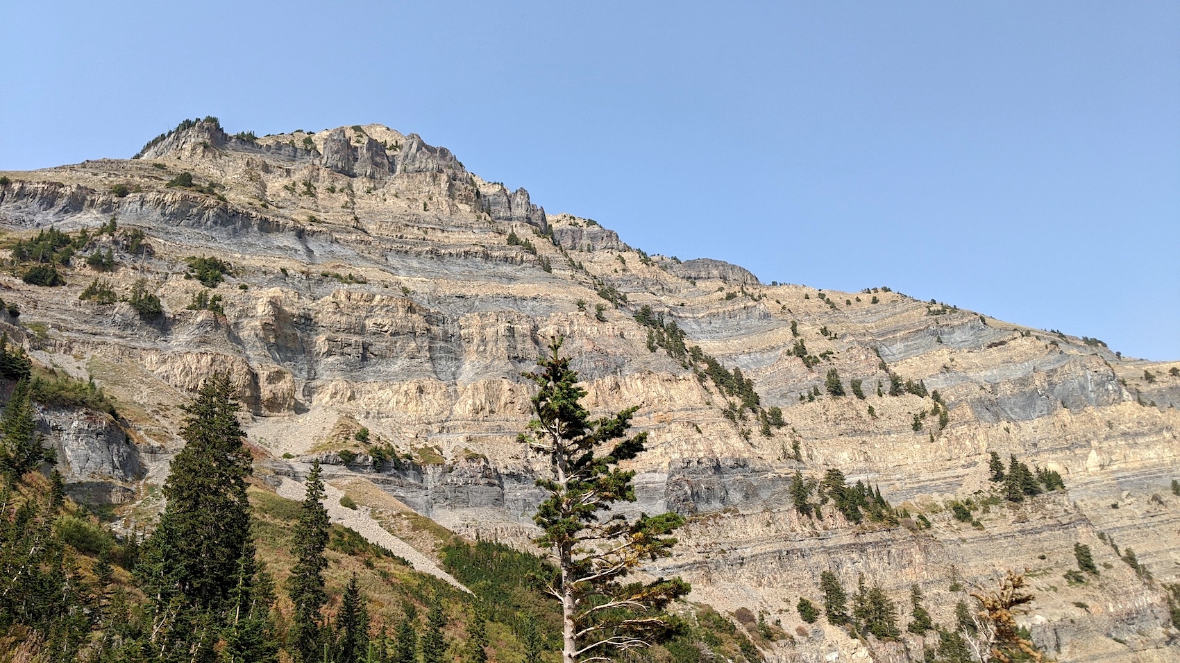
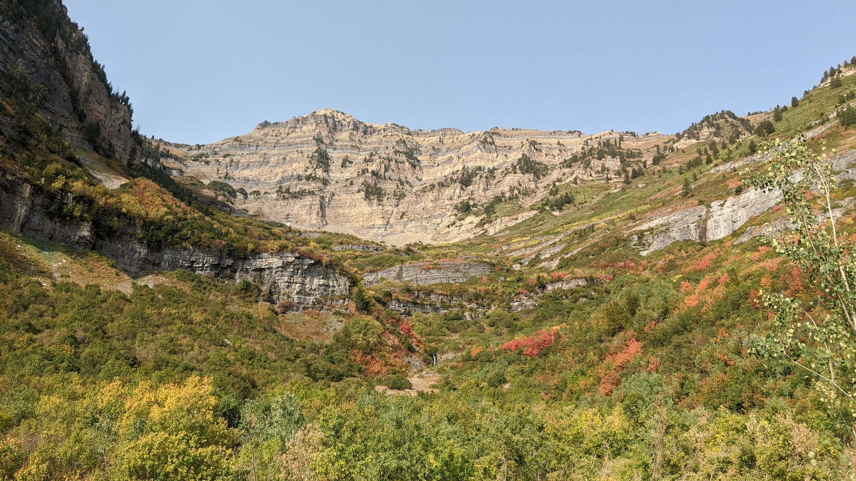
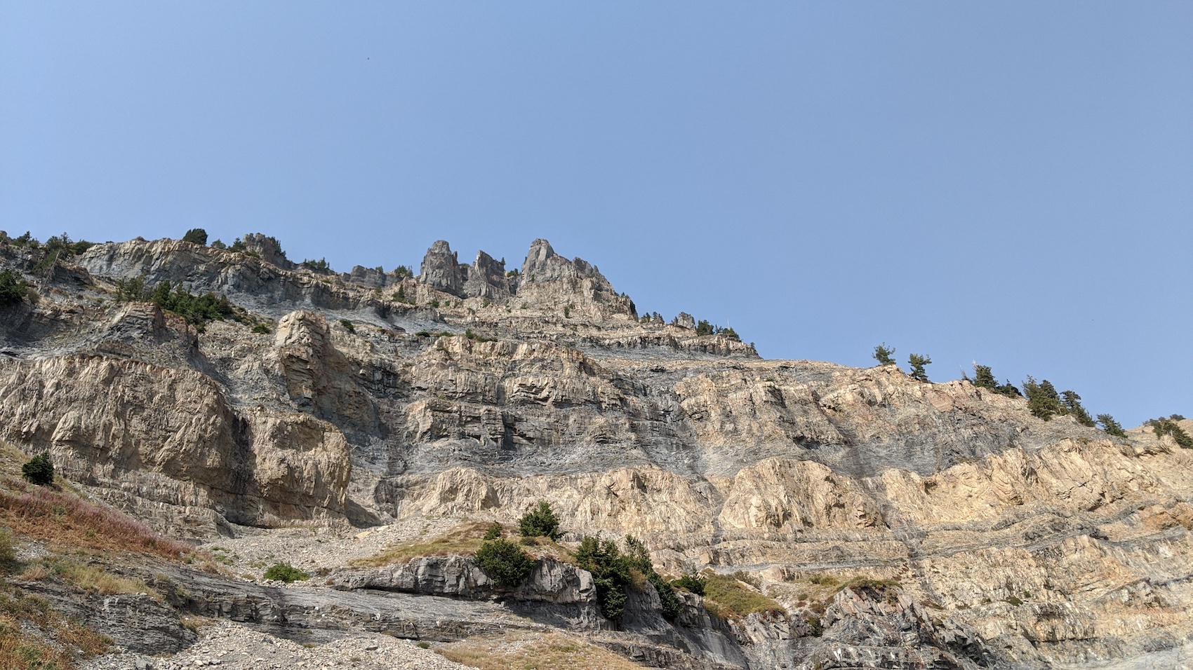
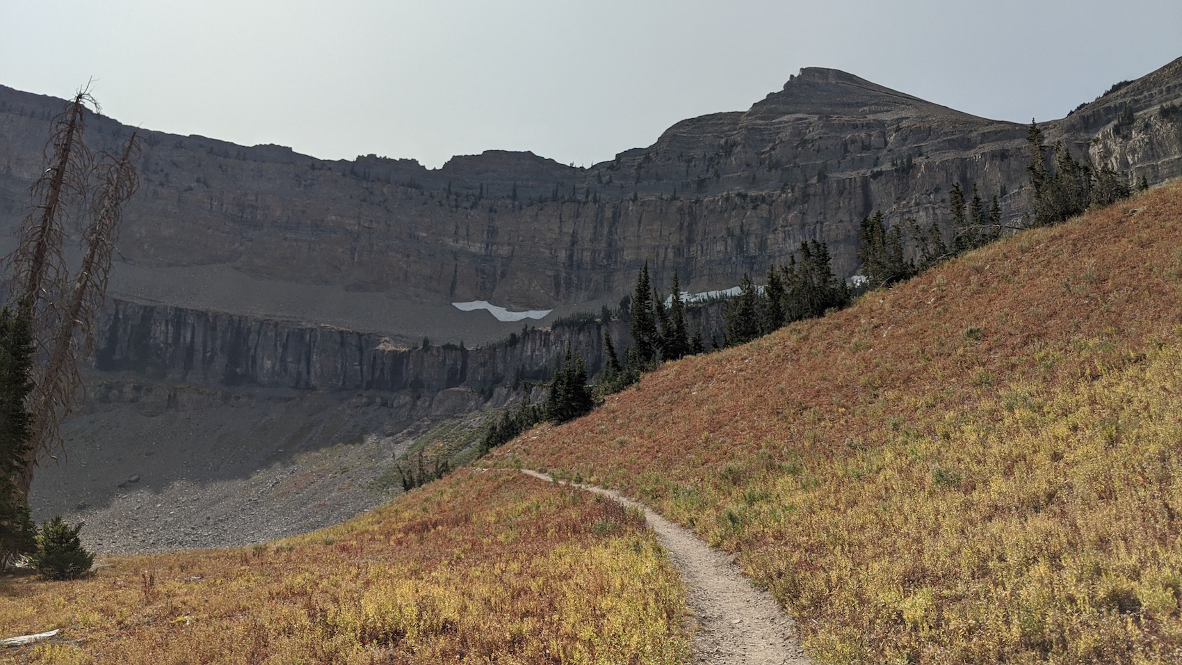
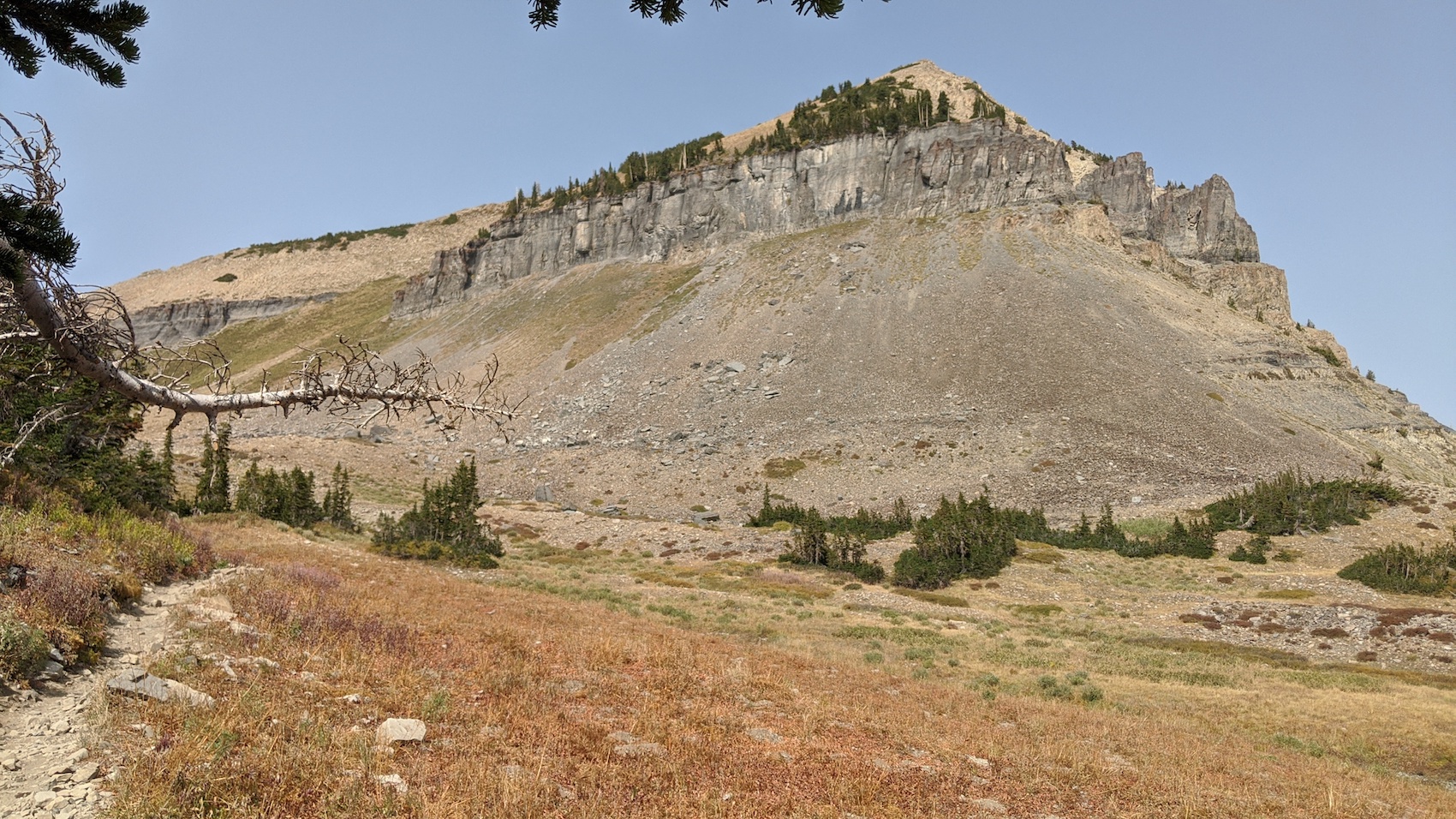
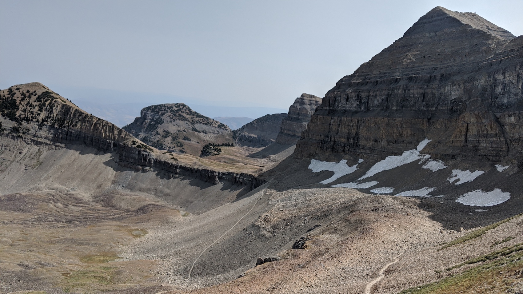
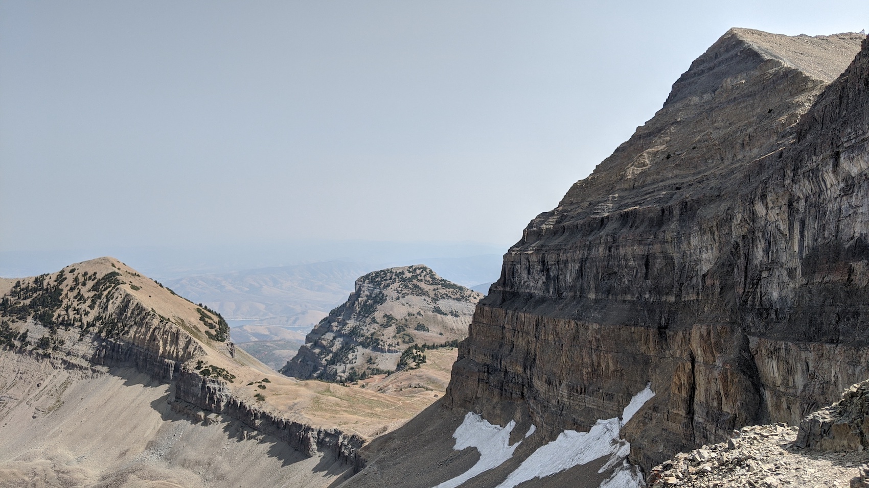
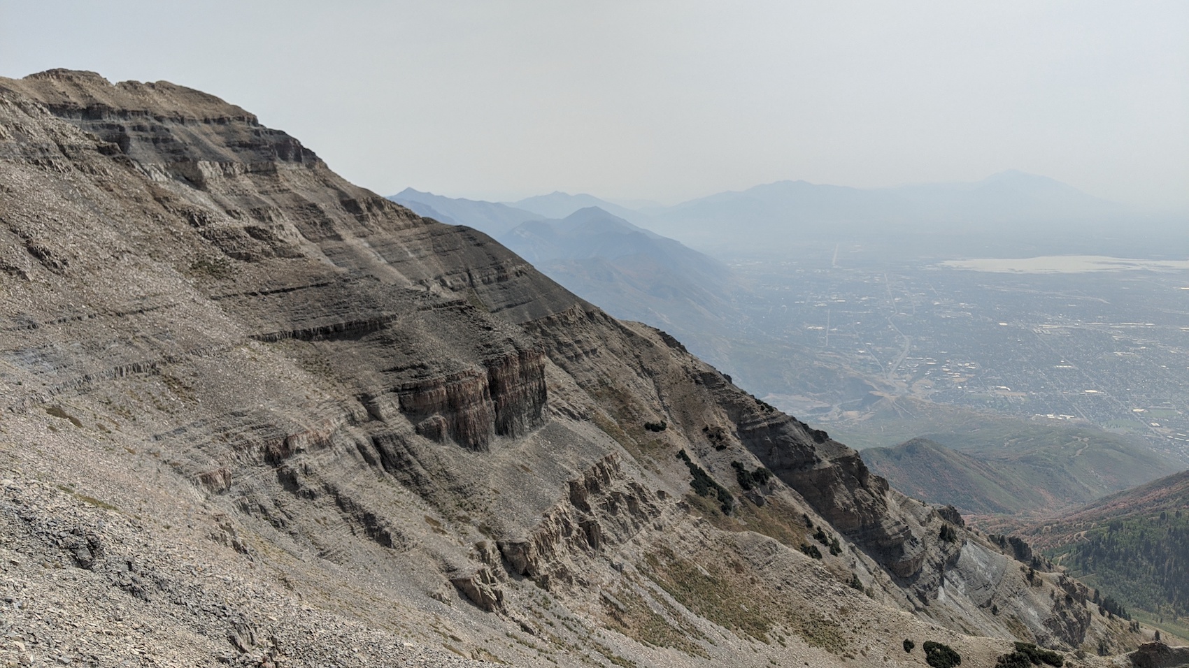
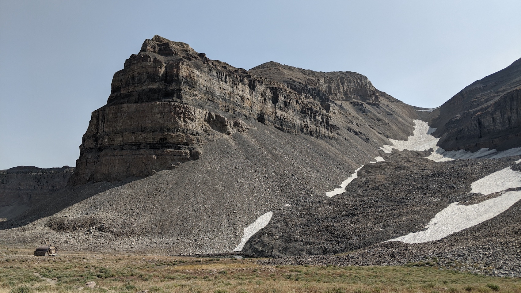
The top is moonlike and intimidating.
Mt. Timpanogos, UT Details:
- Summit: 11,749′
- Car: 6,900′
- Vertical From Car: 4,849′
- Distance: 14-miles round trip
- Time From Car to Summit: 3 hrs 45 mins (walking)
- Time From Summit to Car: 2 hrs 30 mins (jogging)
- Car to Car Time: 6 hrs 30 mins
- Recommended Equipment: good hiking or running shoes
I left the car at 10 am.
It was hot.
Sweat poured off my temples.
The entire day I only wore board shorts and a T-shirt.
I brought next to nothing in my pack: 2 liters of water, a few energy bars, a micro puff jacket.
Red leaves and Fall colors were already taking hold down low.
I hiked to the top, taking one 5-minute break near 10,000′ to guzzle water and inhale food.
The hike up took me 3 hours & 45 minutes, covering 7 miles and 4,849-vertical-feet.
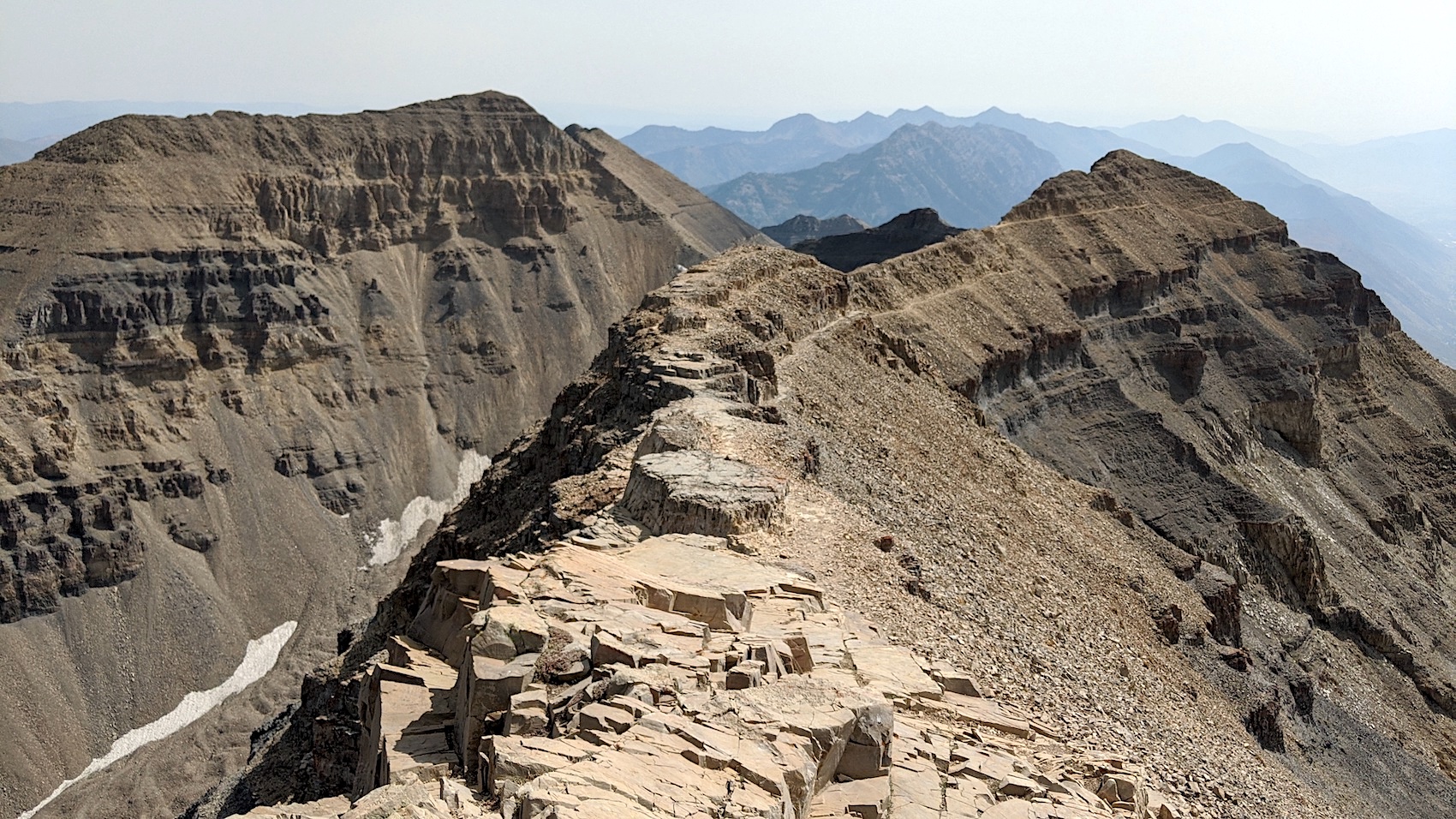
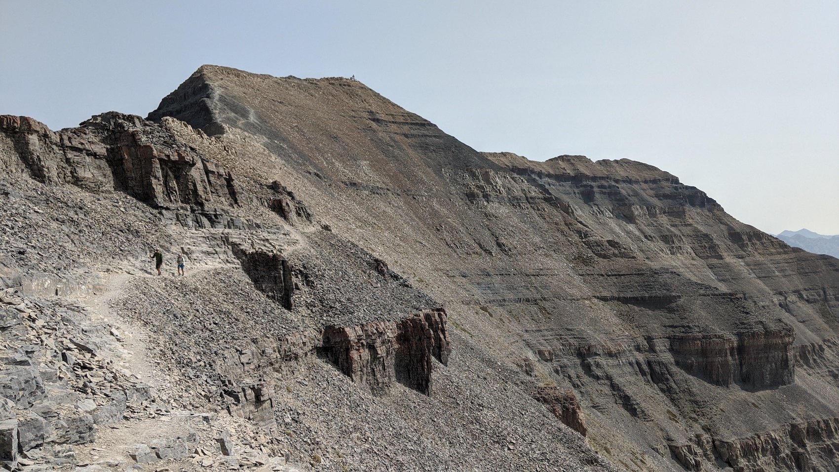
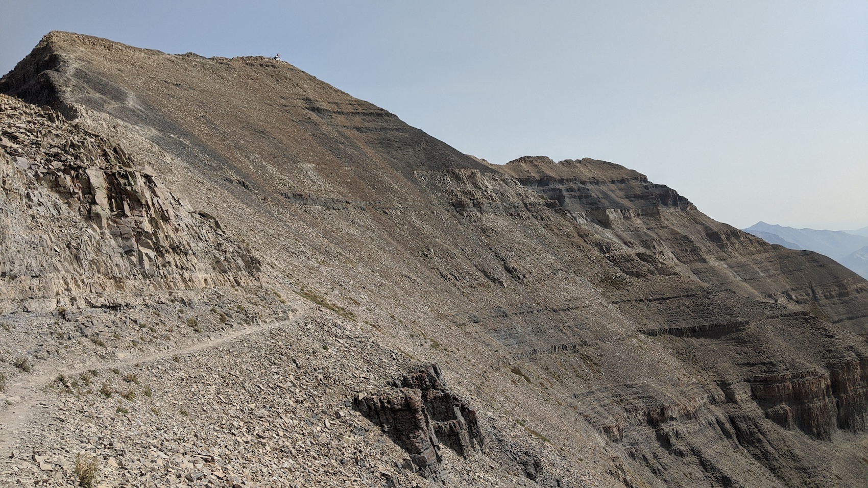
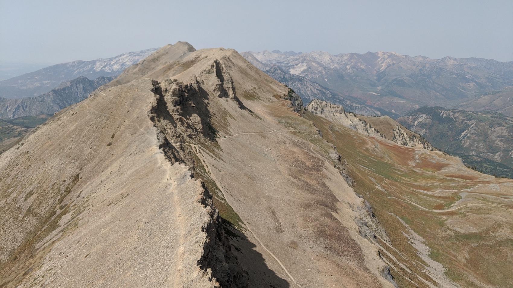
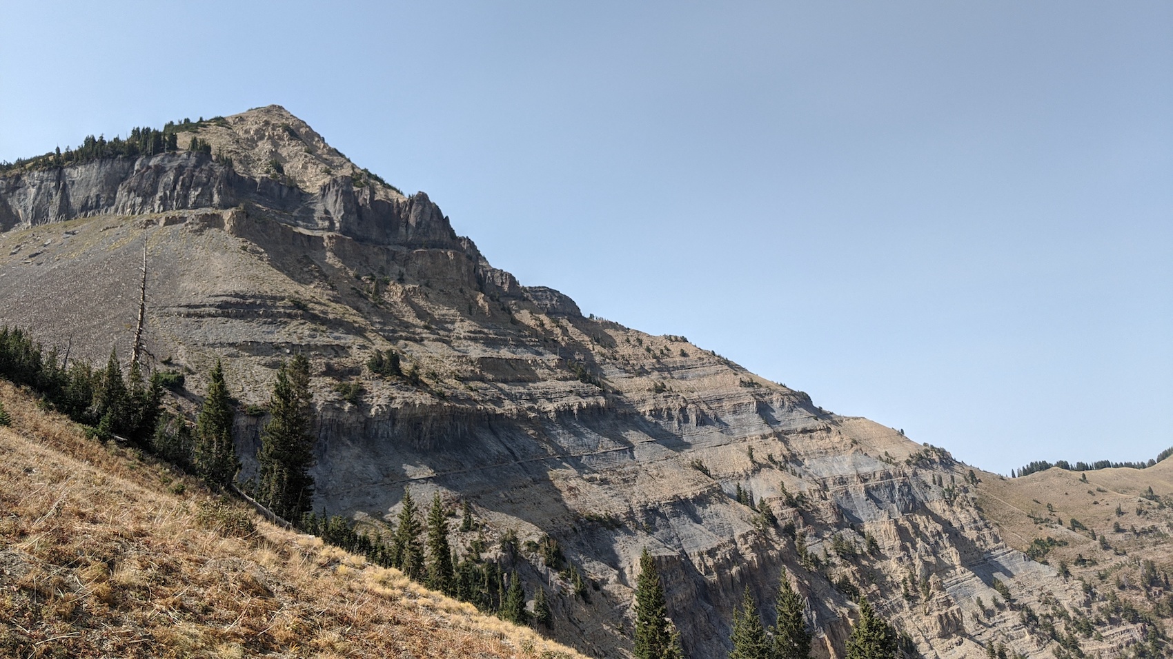
The trail is perfectly manicured for 96% of the hike with only one loose rock section just before you get on the summit ridge.
Many trail runners run this trail.
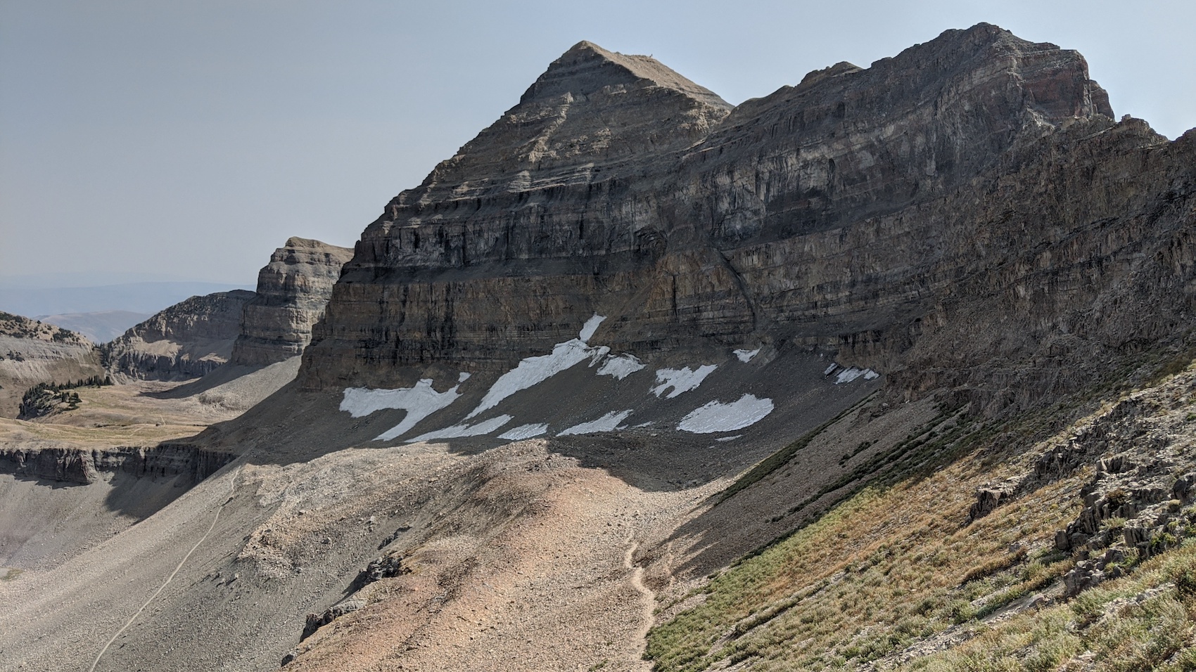
There is still a large snow patch where you could link up about ten turns on the “Timpanogos Glacier” above the Emerald Lake Shelter.
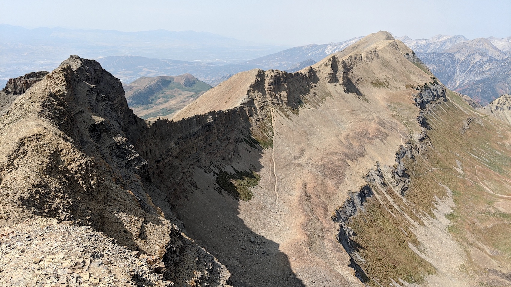
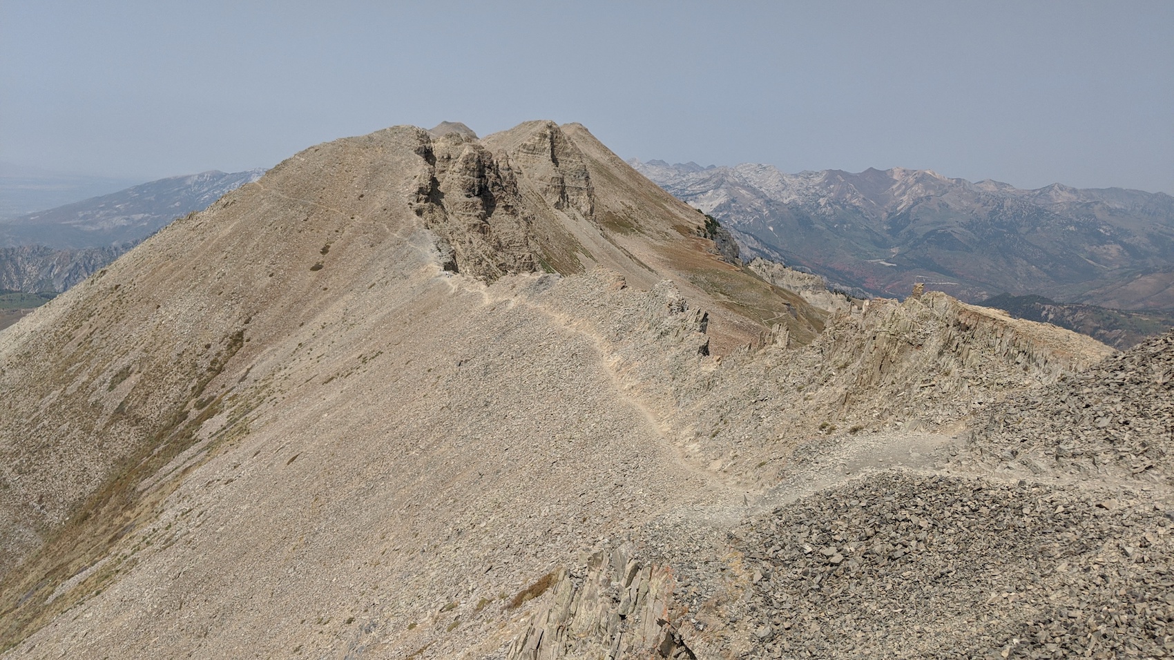
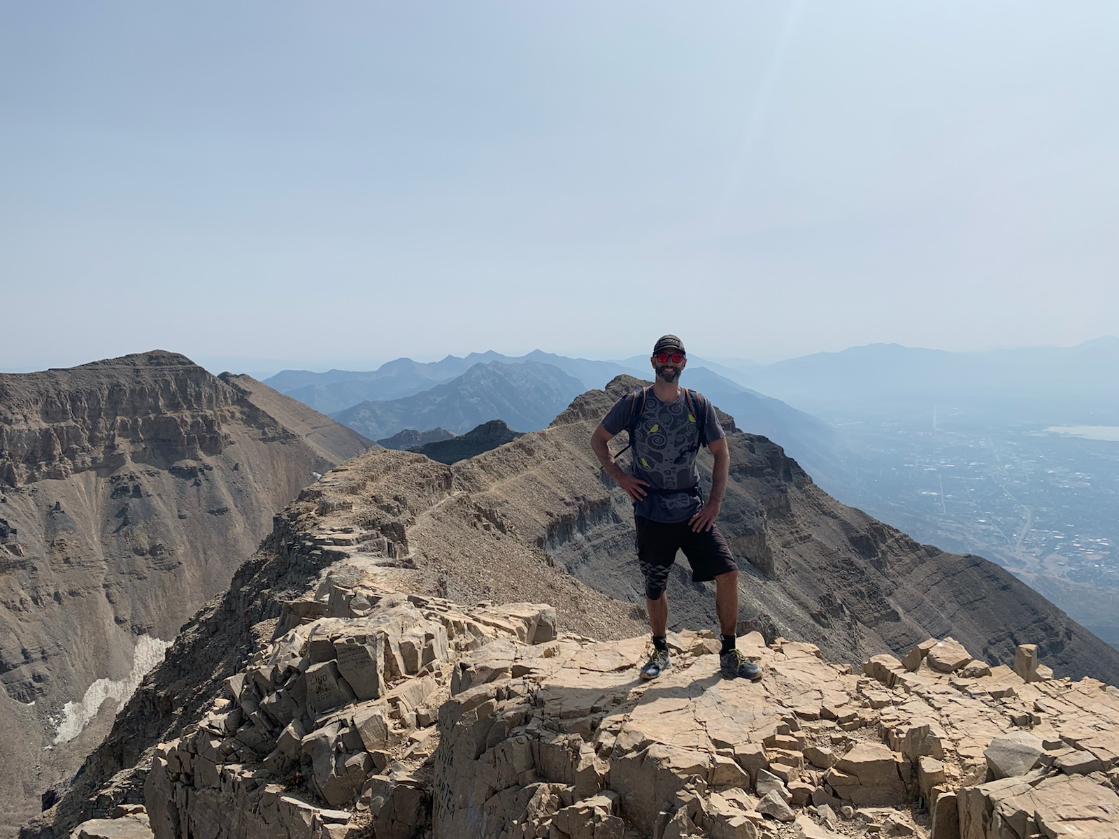
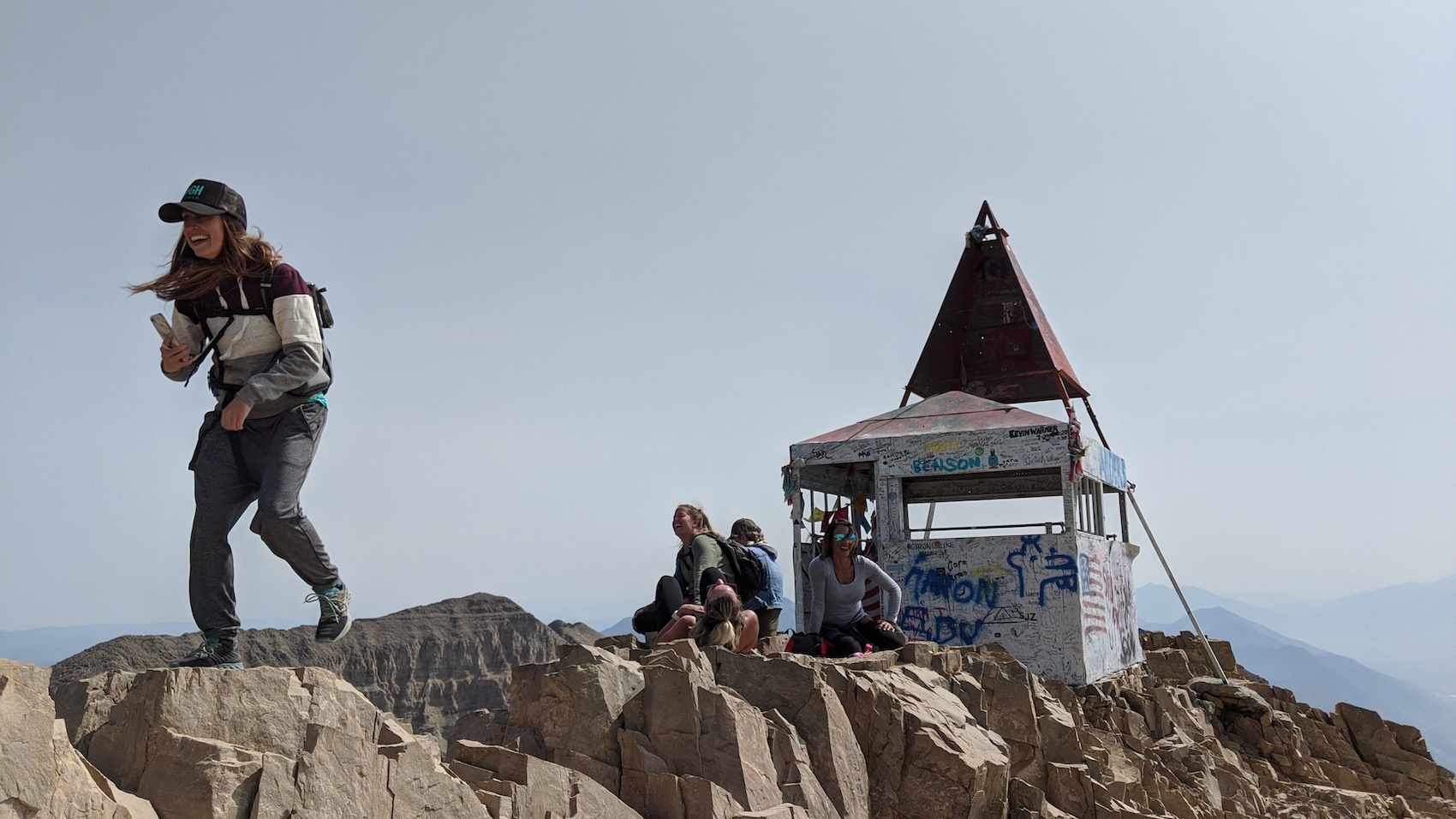
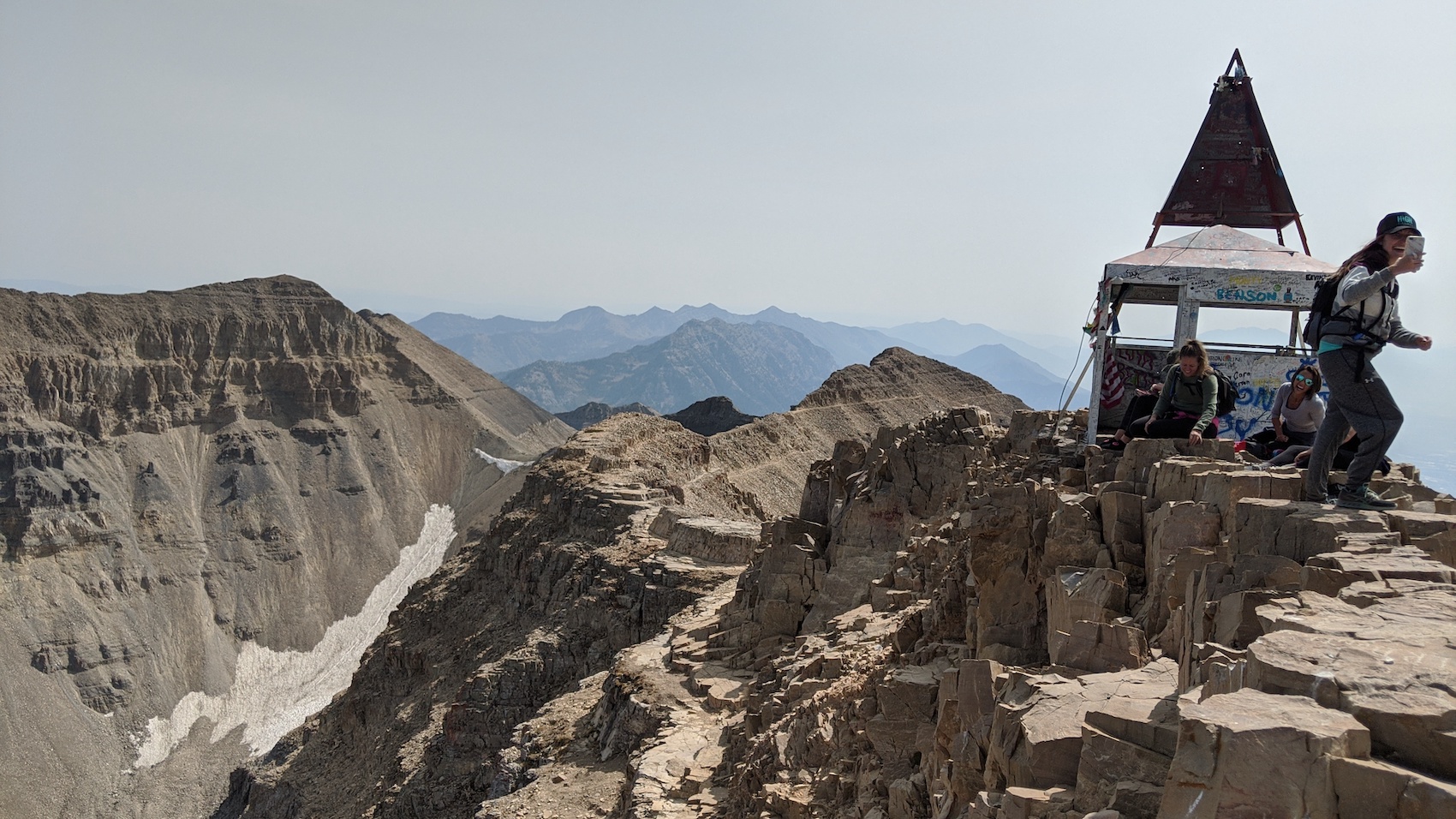
The summit ridge has a few scrambly sections, but they’re easy.
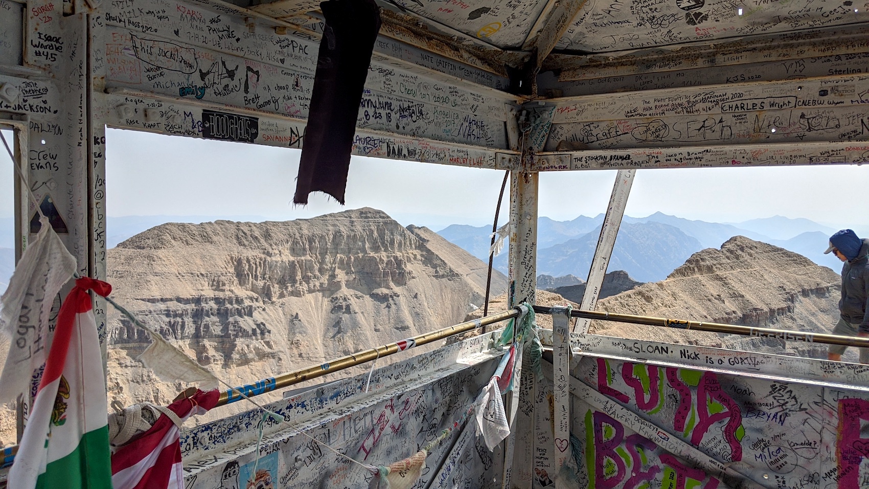
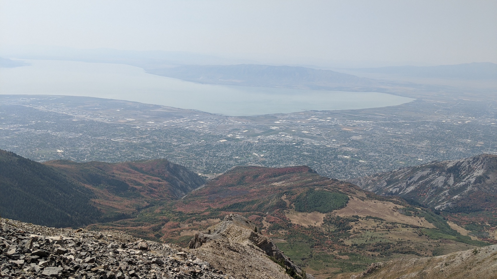
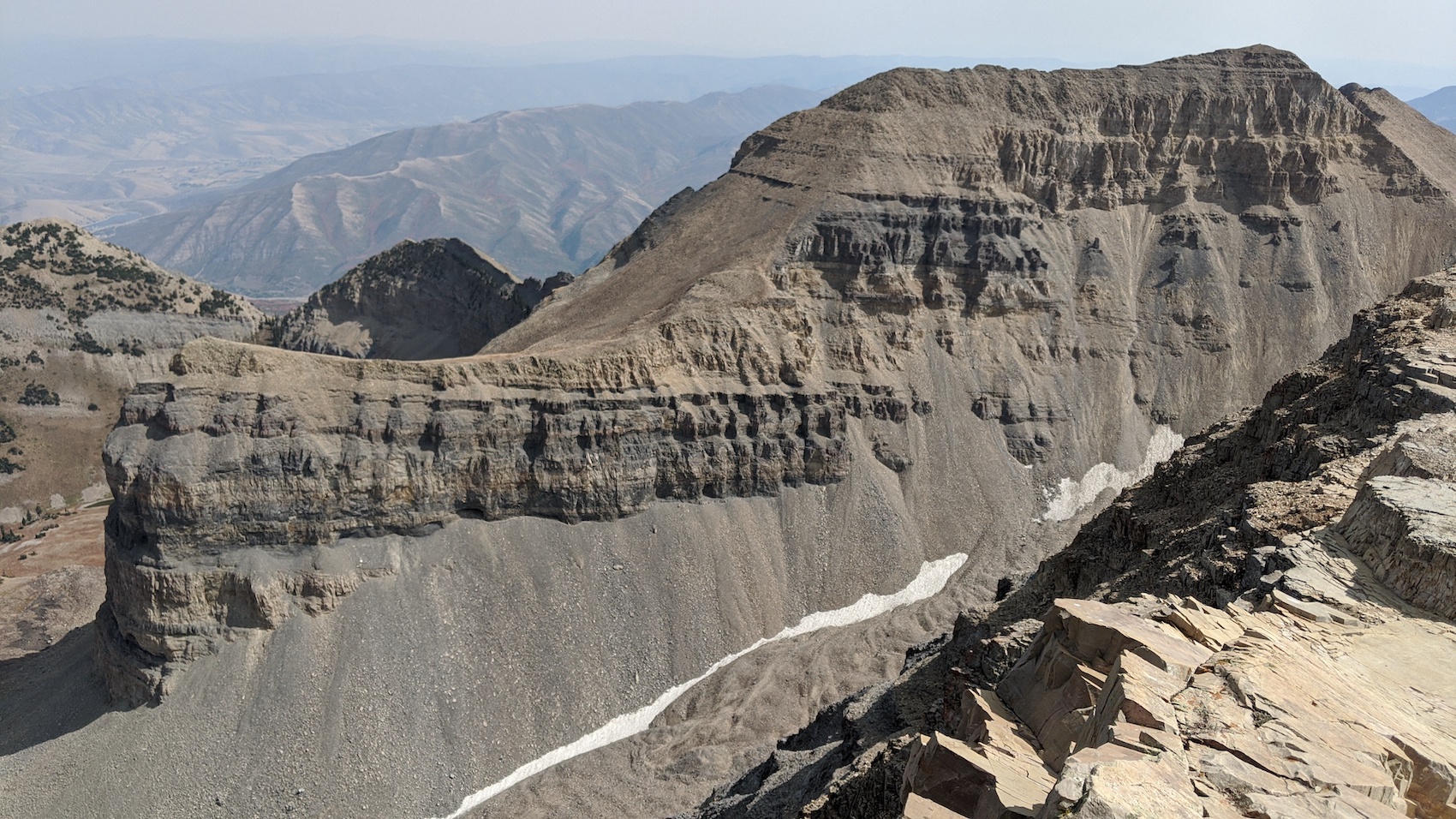
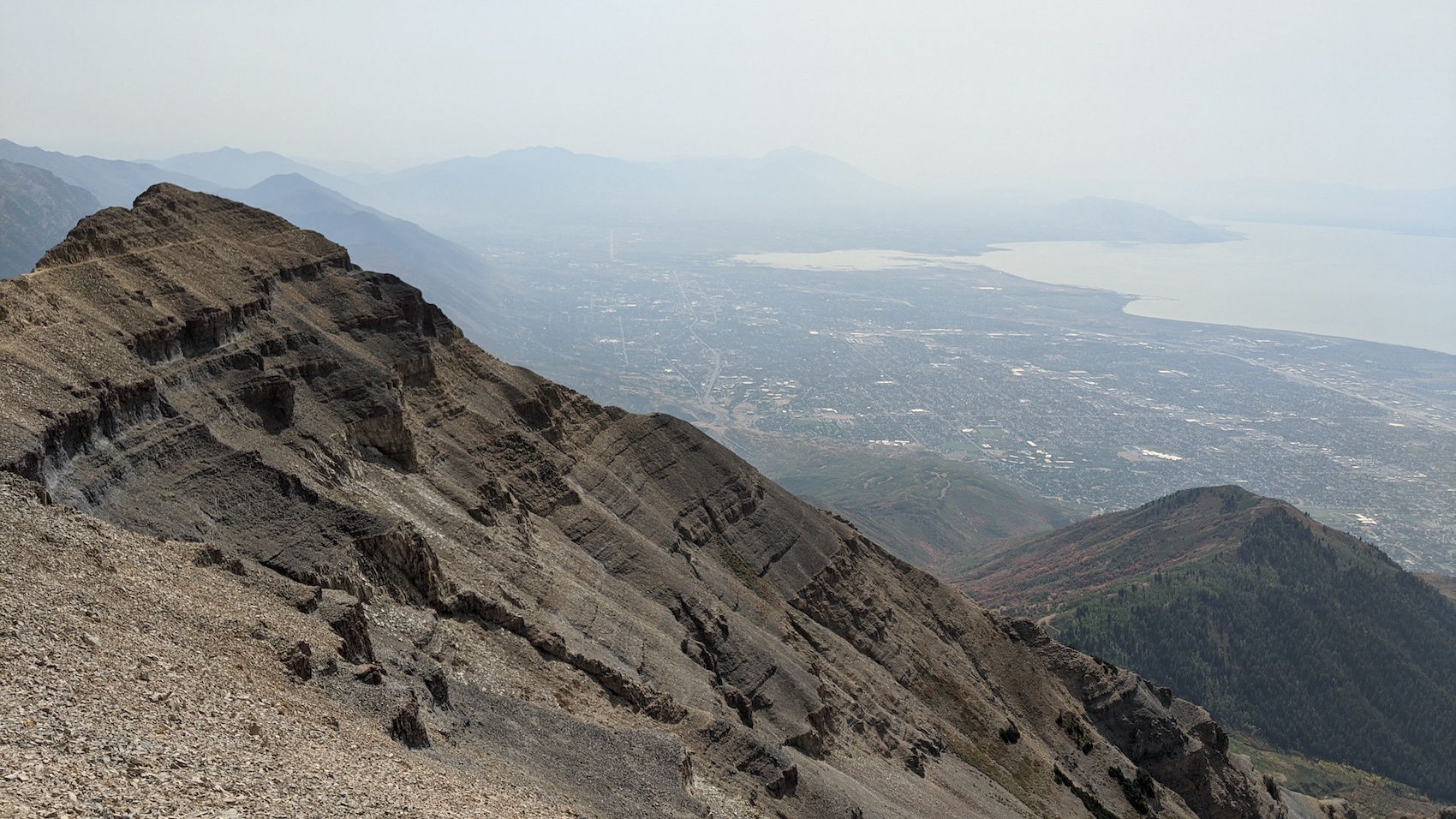
The views from the summit are impressive.
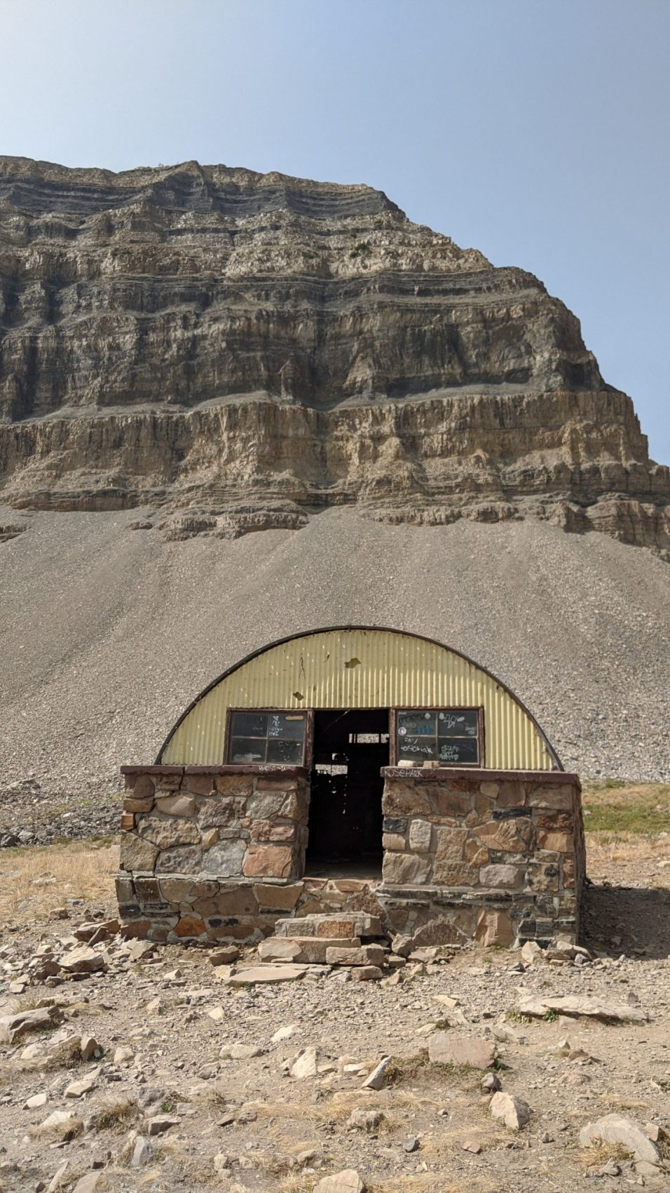
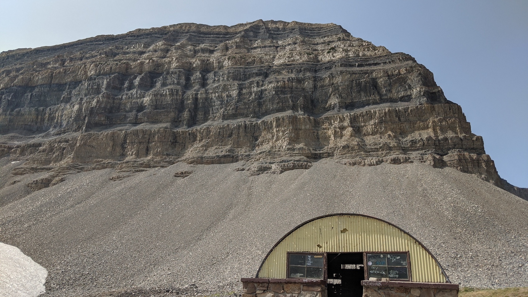
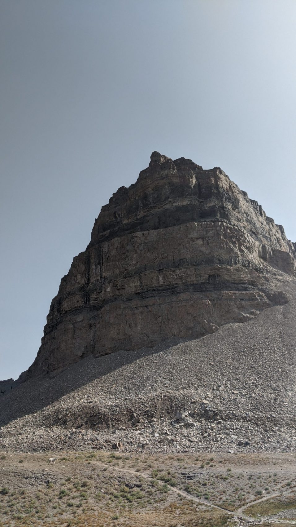
The striated rock of the summit and the surrounding summits are like nowhere else I’ve been.
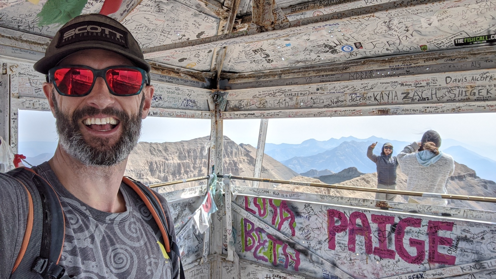
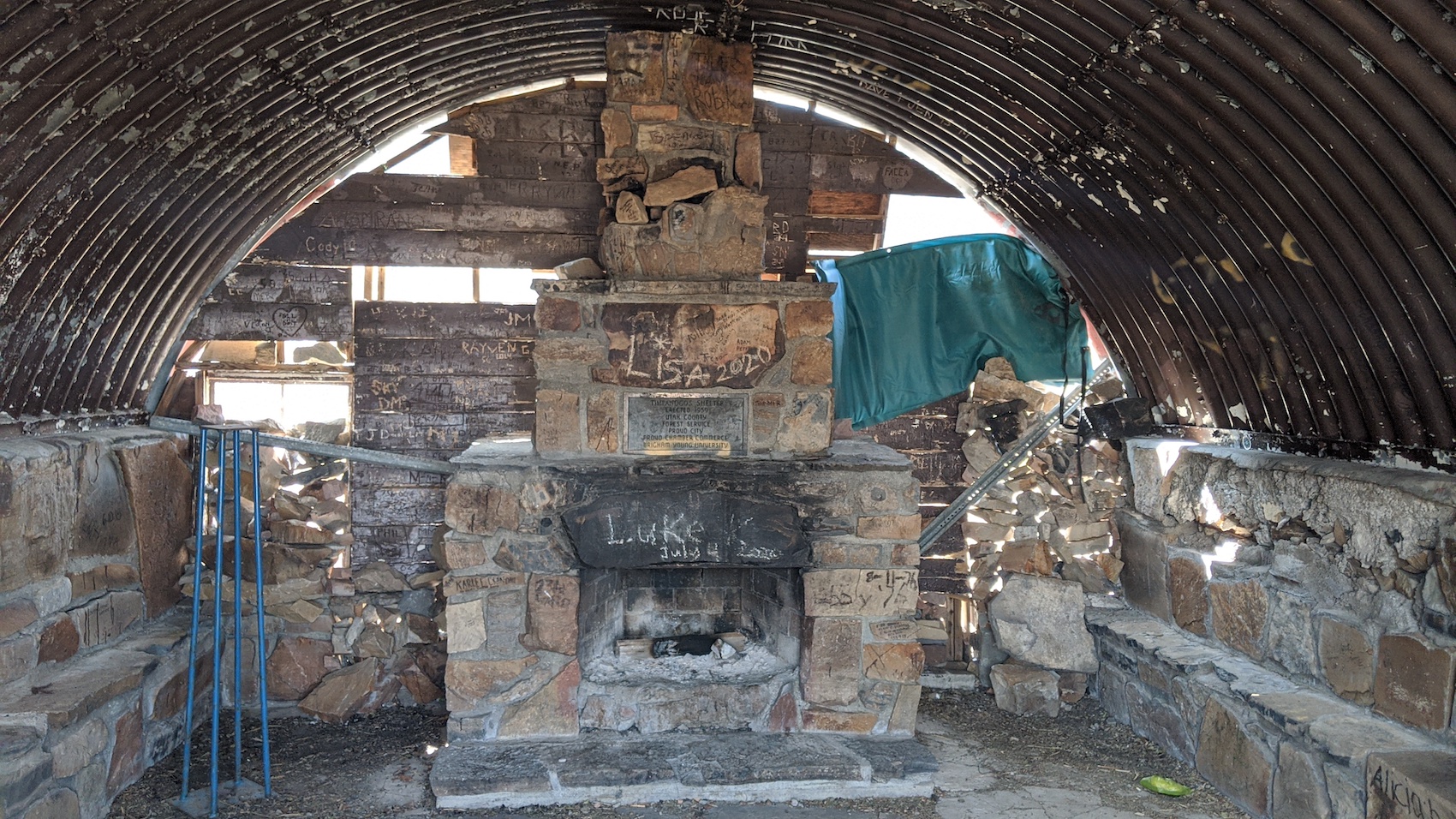
I enjoyed the top and the bizarre structure there for 20 minutes before beginning down.
On the downward romp, I was inspired by the trail runners I saw on the way up and decided to try jogging it.
It felt good, so I jogged all the way down with a few mini-breaks for water.
I saw what I thought to be a small, white horse near the Emerald Lake Shelter that turned out to be a huge mountain goat.
It took me 2 hours and 30 minutes to get back to the car from the summit.
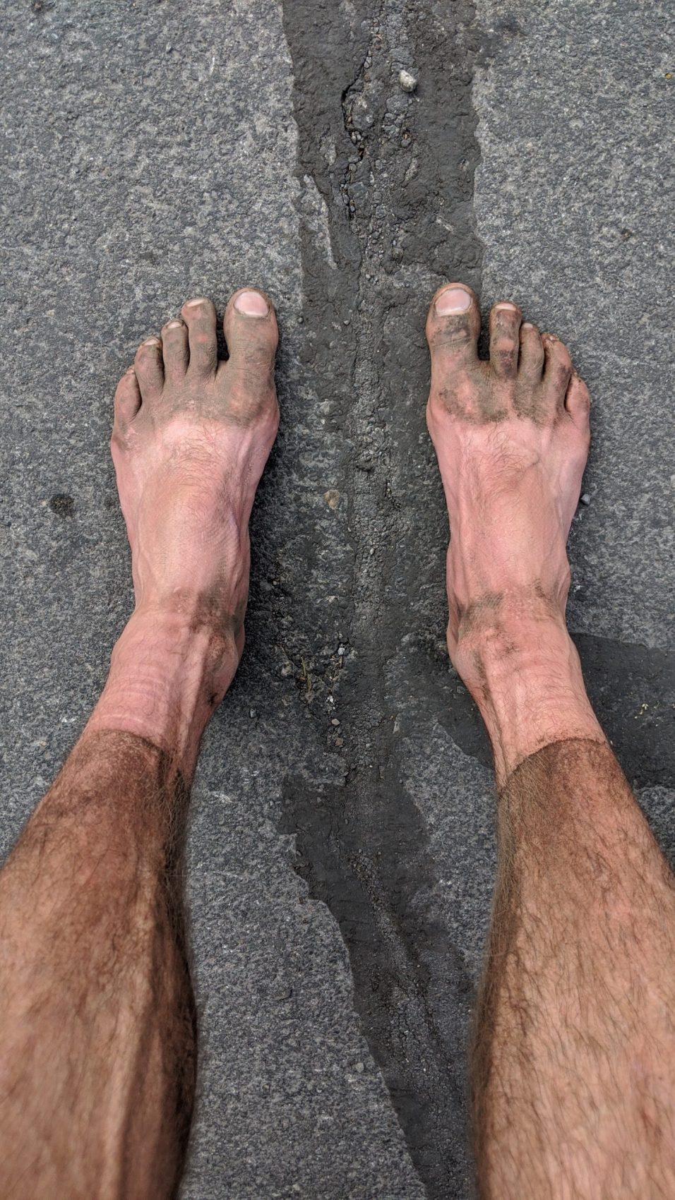
My legs were so dirty from all the trail dust…
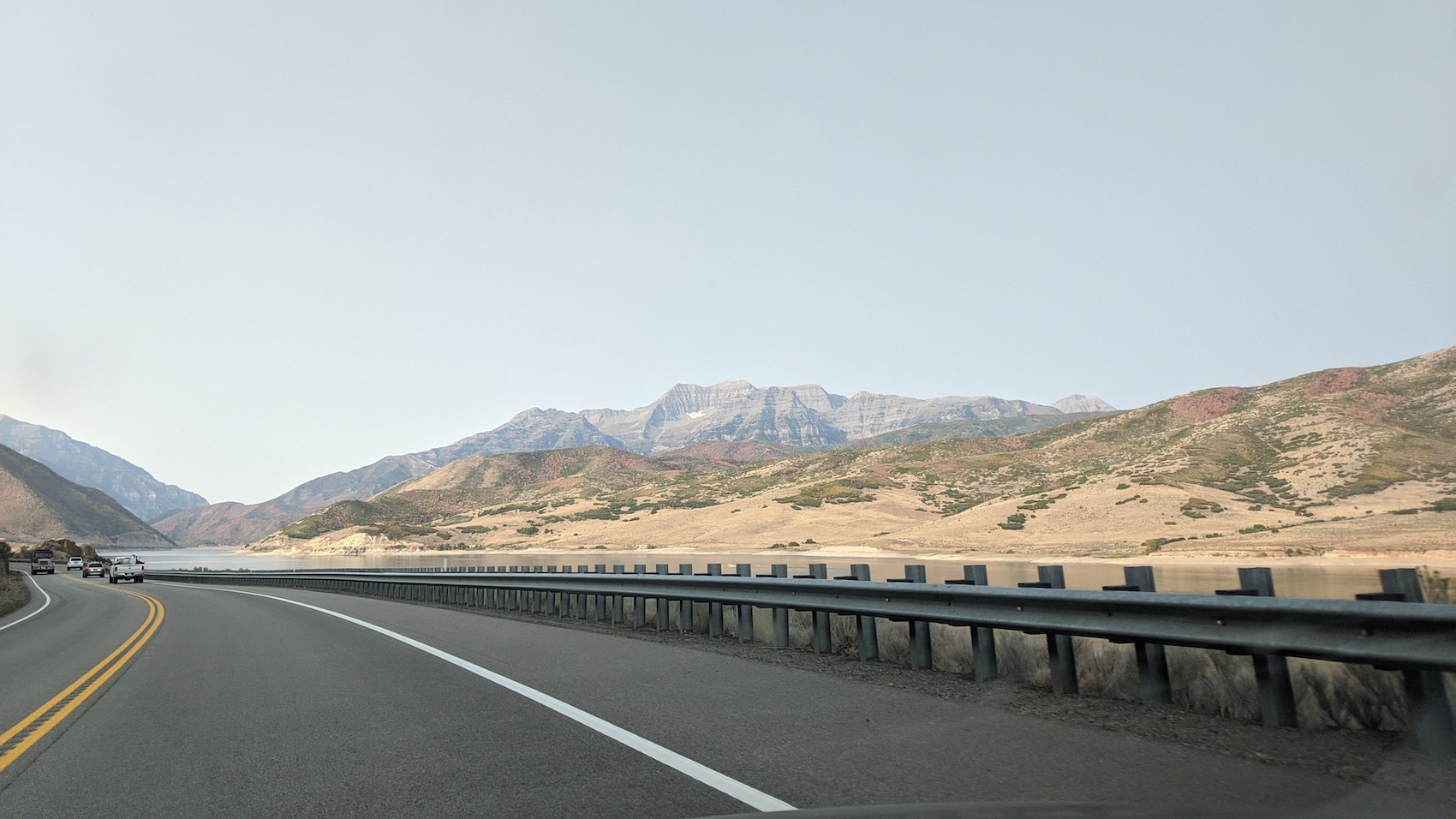
On the way home, I stopped and swam in Deer Creek Reservoir (which I’d been eyeing all day from on high) and swam for 15-minutes enjoying the feeling of weightlessness and cleaning the dirt off my legs, arms, and face.
I noticed the high altitudes of Timpanogos having come out from the California coast only 2-days before this hike.
Timpanogos is a beast of a mountain that’s worth every step.
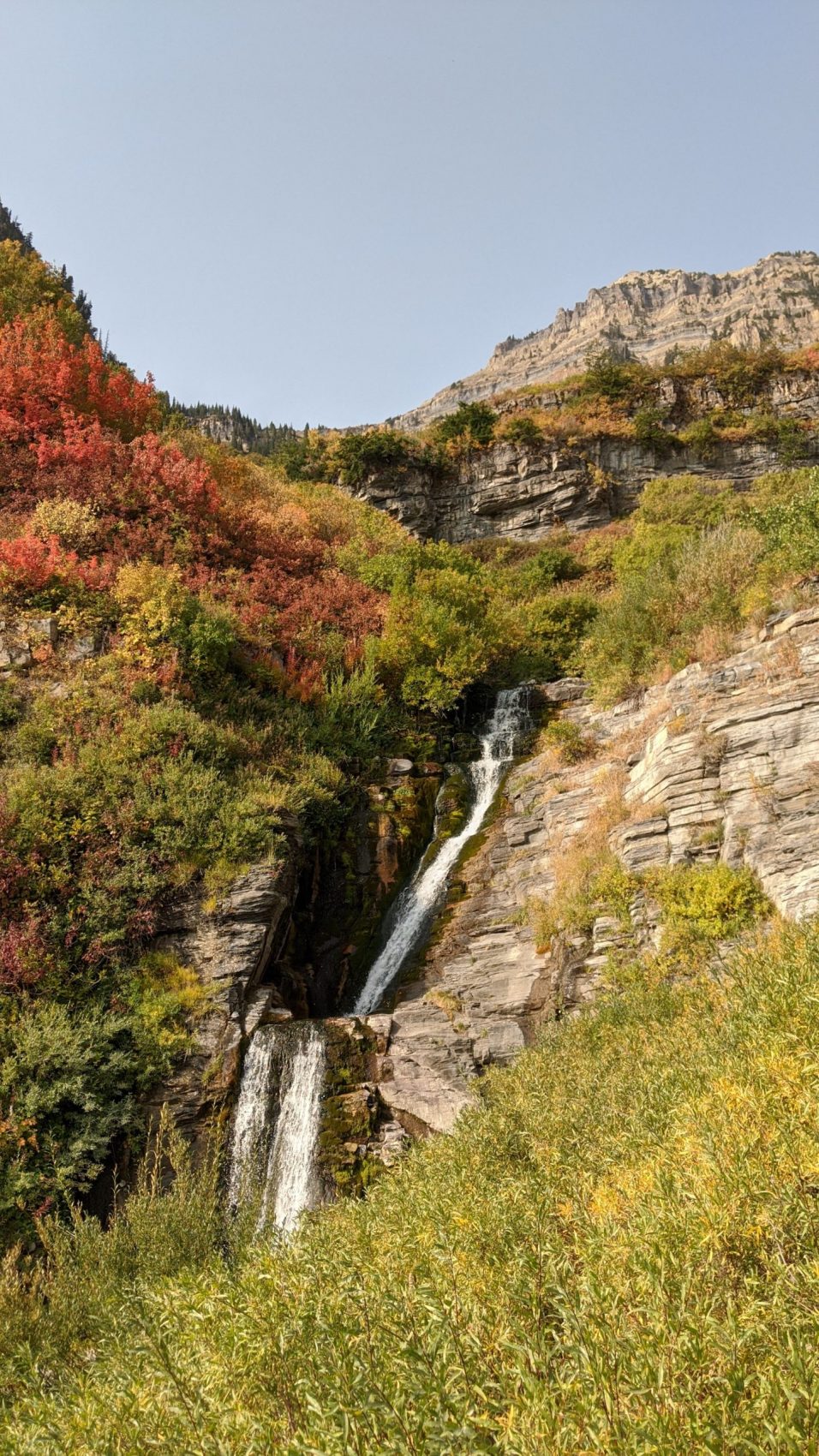
Photo Tour in Chronological Order:
2 thoughts on “Trip Report: 11,749′ Mt. Timpanogos, UT”