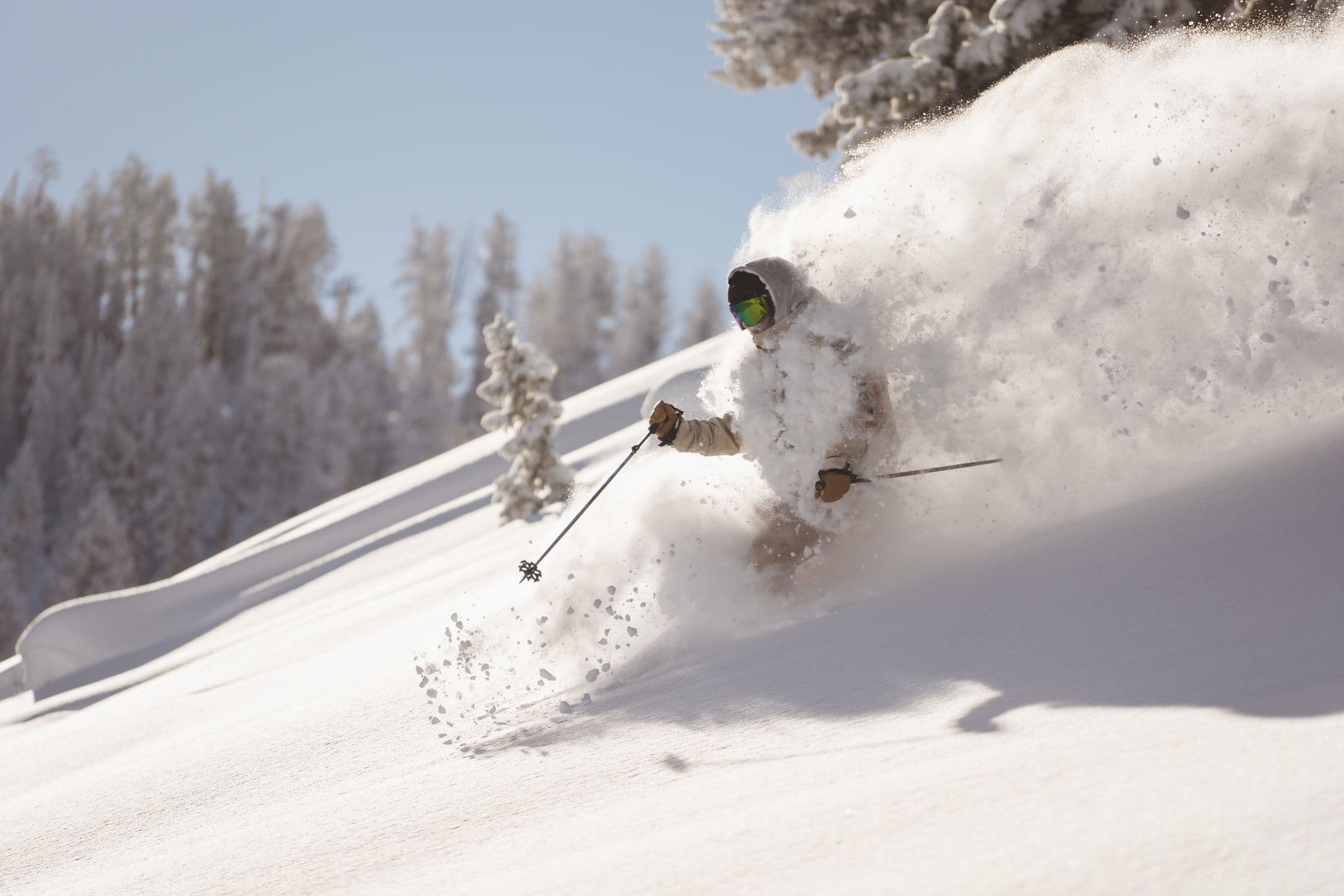
Powder: the elusive holy grail of snowsports. Though it may seem hard to find, it isn’t if you know where to look. This article will outline the tools and knowledge you need to be a competent powder chaser.
Note: techniques in this article are meant to be used within the patrolled ski area boundary. Backcountry use of these techniques may lead to dangerous situations and even death.
Big picture: where will the snow be?
This is pretty easy. All you need to do is find an accurate forecast to determine which resorts will receive the most snow. If you can access more than one resort, this is great. Even in a 50-mile radius, some resorts may receive 5x the snow amount as another, so figuring out which resorts will have big dumps is crucial.
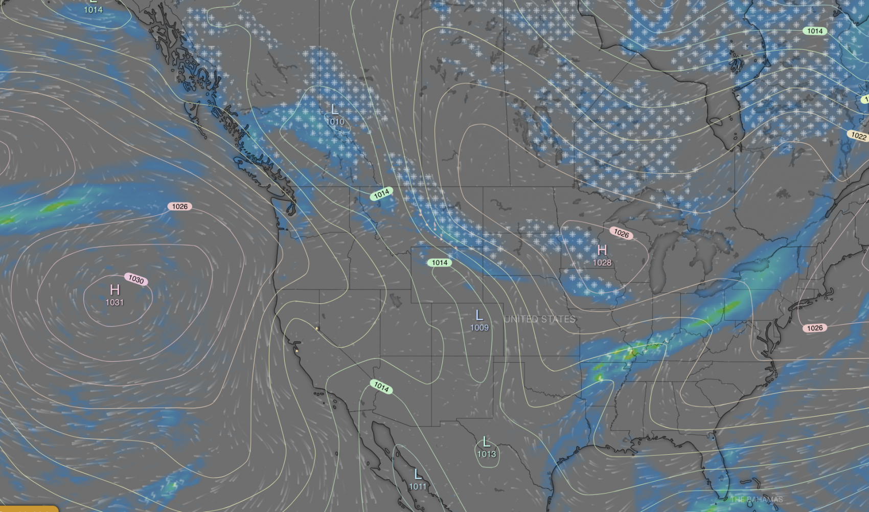
Big-picture forecasting sites work well for this first step. A personal favorite service of mine is Windy. It’s relatively easy to use, and you can determine which resorts are forecasted to receive large snowfall. This step should be conducted 3-5 days before the ski day. 3-5 day forecasts start to get accurate, 5-7 day forecasts can indicate general storm patterns (i.e., if there will be big snowfall vs. small, what resorts might be good, etc.) but aren’t good at nailing down specifics, and anything beyond a week or so generally only tell you if there will be a storm or not.

The key to success: the aspect game
Playing “the aspect game” is one of the trickiest but most rewarding things about localized snow forecasting. You need two key pieces of data to play this rewarding game: sun and wind exposure.
Let’s start with the wind, arguably the biggest determining factor of a good or mediocre powder day. First, find a forecast for wind direction. This can be found by right-clicking on a point in Windy and then selecting “Forecast for this location.” Another great resource for more detailed and tabular data is SpotWX.
Once you have this data, you need to find the direction of the wind. Once you’ve found it, you can use it to find good snow. I’ll use an example to illustrate how one might do so:
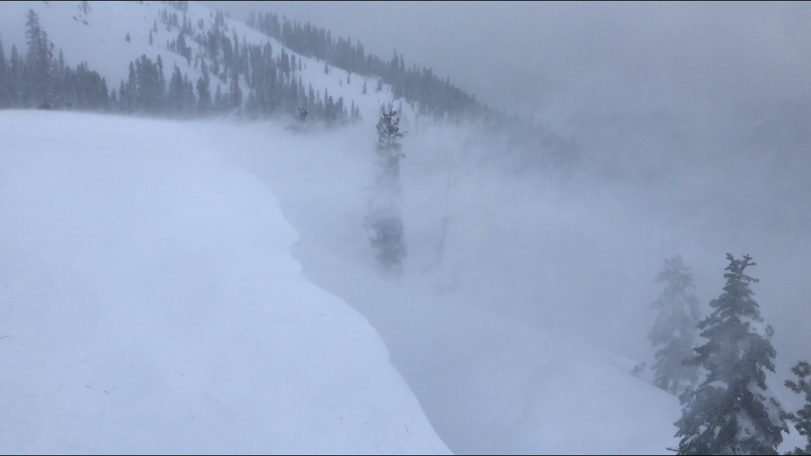
Let’s say I checked Windy and found that the wind was blowing in a straight, westerly (from west to east) flow tonight. That means that during the night, the wind will transport snow from west to east. Generally speaking, ridges and other features will shelter slopes, so behind a ridge, the wind suddenly stops transporting snow and deposits it on the ground. In the morning, I’ll instantly go to east-facing slopes behind protected features, like a cornice, ridgetop, etc. This is where the wind has deposited snow, known as “wind loading.”

Here are some good rules of thumb when predicting wind loading: my general rule is that wind can fluctuate about 45 degrees to each side when the snow blows. This means a wind blowing directly from west to east may also load up northeast and southeast slopes with snow. Wind gusts generally need to be 20mph or more to transport most types of snow. The only exception is super light snow with an SWE ratio of 20-1 or more, transported by winds weaker than 20mph.
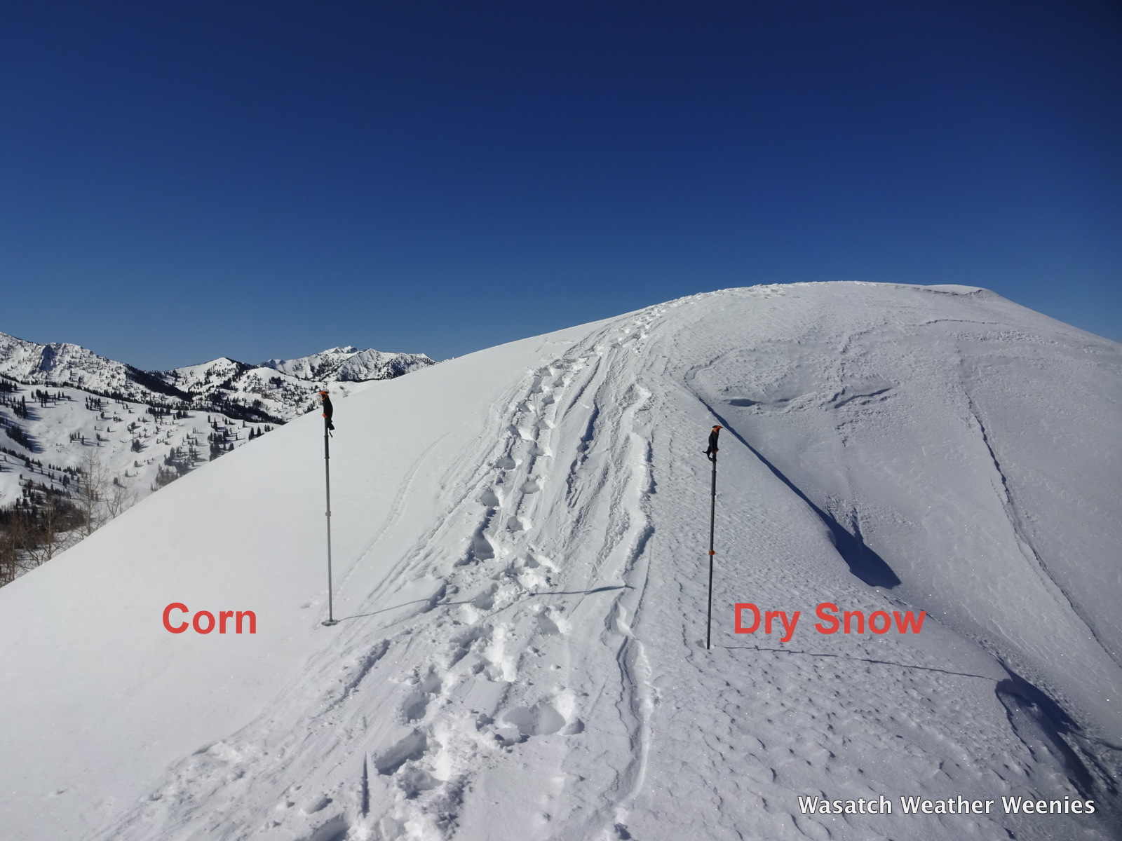
The other thing to remember when playing the aspect game is to keep sun exposure in mind. The sun will first hit the southeast slopes on a sunny winter day. These slopes will be the first to become mashed potato snow, which is not fun to ski, so if you ski any SE-SW slopes, ski them early in the morning. North facing slopes will stay powdery the longest.
Avalanche considerations
Just because a slope is within the patrolled ski area boundary does not mean that avalanches cannot occur. Wind loading, while it can deliver some fantastic snow, is also very problematic for avalanche risk. On snowy days, skiing with a beacon is never a bad idea. ALWAYS ski with a partner. Have fun, but also assess risk as you go.
