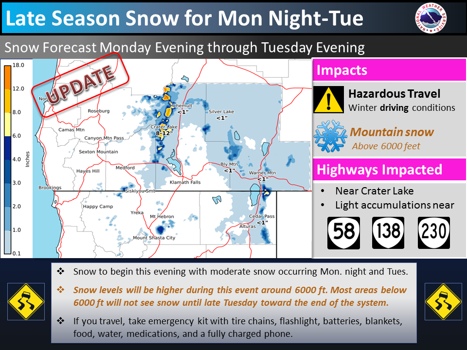
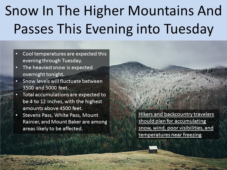
The National Weather Service has issued a winter weather advisory for Washington and Oregon. Snow is expected to fall throughout the day Tuesday.
4-12″ of snow is expected to fall above 4500ft.


Snow levels will start around 4500ft and drop to 3500ft by Tuesday morning. This will prolong the area snowpack.
Additional Storm Information:
OR & WA Forecast: 4-12″ of Snow Through Tuesday
* SNOW ACCUMULATIONS...4 to 10 inches through tonight, and up to
2 inches on Tuesday. Total accumulation around 4 to 12 inches by
Tuesday afternoon.
- NOAA Seattle, WA


WA Winter Weather Advisory:
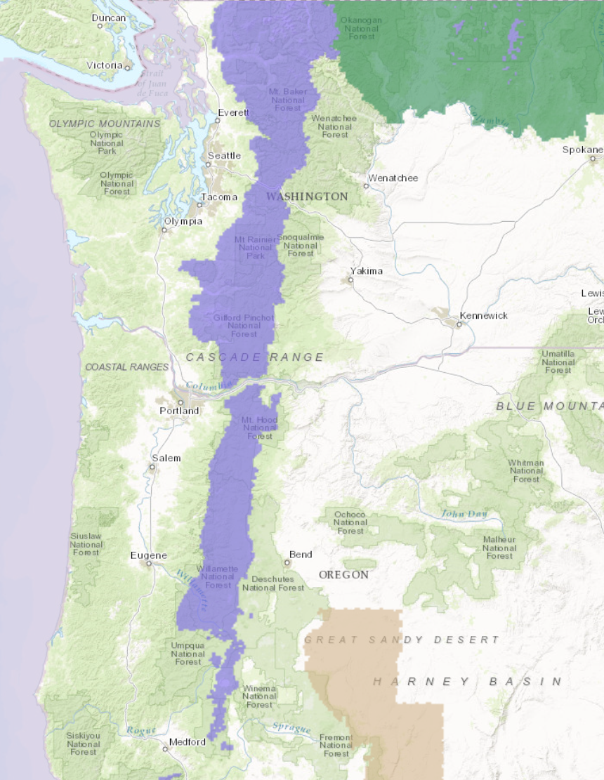
URGENT - WINTER WEATHER MESSAGE
National Weather Service Seattle WA
448 PM PDT Mon May 15 2017

Cascades of Whatcom and Skagit Counties-
Cascades of Snohomish and King Counties-
Cascades of Pierce and Lewis Counties-
448 PM PDT Mon May 15 2017

...WINTER WEATHER ADVISORY NOW IN EFFECT UNTIL 5 PM PDT TUESDAY...

* SNOW ACCUMULATIONS...4 to 10 inches through tonight, and up to
2 inches on Tuesday. Total accumulation around 4 to 12 inches by
Tuesday afternoon.

* SNOW LEVELS...Around 4500 feet tonight lowering to 3500 feet
  later tonight and Tuesday.

* SOME AFFECTED LOCATIONS...Mount Baker, Stevens Pass, White Pass,
  Paradise.

* TIMING...The heaviest snow is expected tonight...with snow
  showers continuing through Tuesday.

* MAIN IMPACT...Travel may be difficult in the higher elevations
  and back country hikers should be prepared for winter
  conditions.