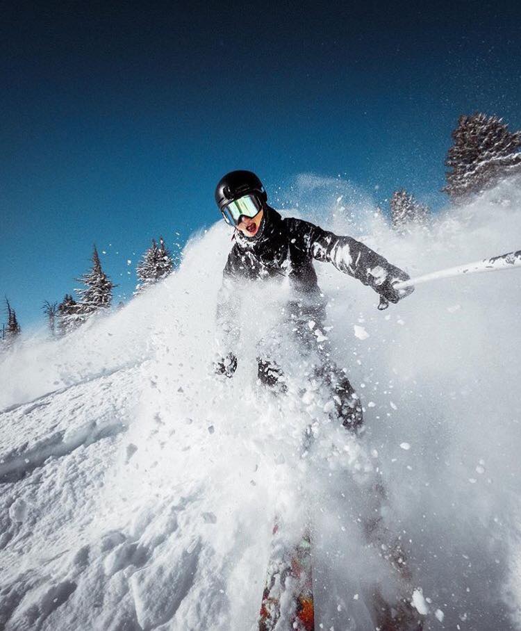
NOAA has issued Winter Storm Warnings for Oregon and Washington today that are calling for 2-4 feet of snow to fall today, tomorrow, and Wednesday.
Washington:
* TIMING...HEAVY SNOW WILL BEGIN IN THE OLYMPICS THIS AFTERNOON AND SPREAD TO THE
CASCADES LATE THIS AFTERNOON OR THIS EVENING.SNOW WILL REMAIN HEAVY AT TIMES TONIGHT
THROUGH TUESDAY NIGHT.  TWO TO FOUR FEET OF SNOW ACCUMULATION IS EXPECTED IN THE
CASCADES WITH ONE OR TWO FEET IN THE OLYMPICS. THE SNOW LEVEL WILL REMAIN AROUND
2000 FEET...SO EVERY PASS OVER THE CASCADE SWILL GET SNOW.
- NOAA Seattle, WA today
Oregon:
* STORM TOTAL ACCUMULATION...12 TO 24 INCHES
- NOAA Portland, OR today

Washington and Oregon are already doing excellent with Mt. Baker having the most snowfall in North America this season at 275″ already and Mt. Bachelor, OR at 215″.
The 10 North American Ski Resorts with The Most Snowfall:
[iframe id=”https://www.facebook.com/plugins/video.php?href=https%3A%2F%2Fwww.facebook.com%2Fmtbachelorfanpage%2Fvideos%2F10154355402320817%2F&show_text=0&width=560″]
video of Mt. Bachelor on Xmas Eve 2016.
Washington and Oregon snowpacks are WAY above average right now (see map below). As high as 138% of average at Mt. Bachelor, OR.


One thought on “NOAA: 2-4 Feet of Snow Forecast for Oregon & Washington Today & Tomorrow”