Report from Friday December 13th, 2019
Brought to you by Ikon Pass
Friday The 13th was definitely a lucky one at Alta Ski Area, UT.
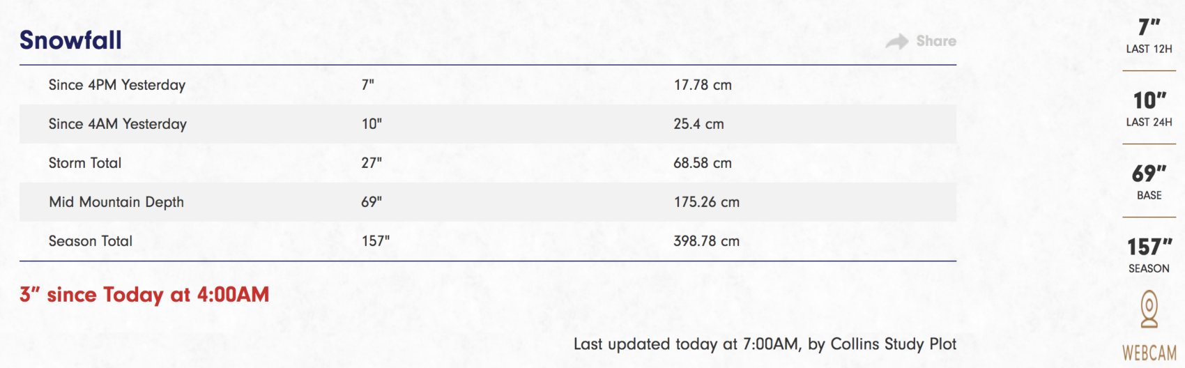
15″ of new snow overnight.
Alta has already seen 13-FEET (157″) of snowfall to date.
No wind.
Great snow.
Good times.
Alta was ripping today.
We started off on Wildcat and it delivered.
We migrated to Collins and didn’t turn back.
High Boy was crazy fun.
That run is legit.
We smashed High T laps until our legs couldn’t take it anymore.
Alta is a truly fantastic place.
Oh, and the weather was great in the morning with some sun and light winds.
Around noon it started to snow and the new round of storms rolled in.
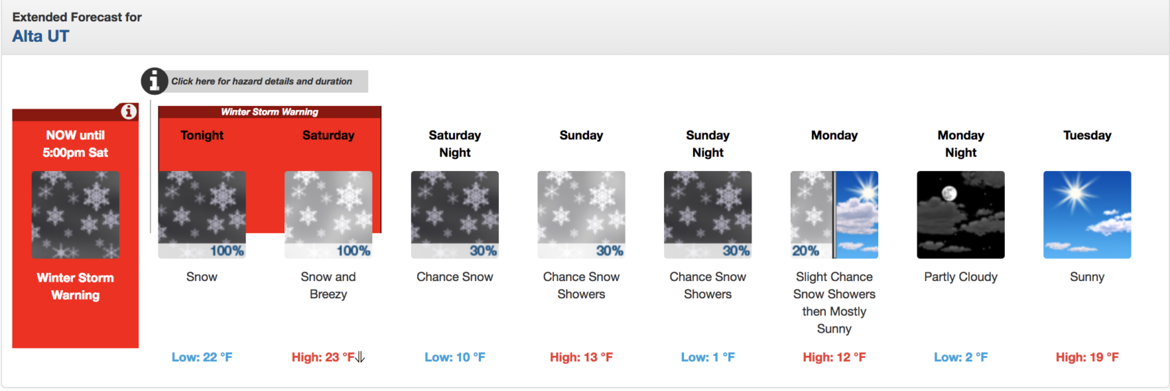
NOAA has issued a Winter Storm Warning for Alta that runs until 5pm Saturday.
Winter Storm Warning for Alta, UT
URGENT - WINTER WEATHER MESSAGE
National Weather Service Salt Lake City UT
758 PM MST Fri Dec 13 2019

Wasatch Mountains South of I-80-Western Uinta Mountains-
Wasatch Plateau/Book Cliffs-
Including the cities of Alta, Brighton, Mirror Lake Highway,
and Scofield

...WINTER STORM WARNING REMAINS IN EFFECT UNTIL 5 PM MST
SATURDAY...

* WHAT...Heavy snow. Additional snow accumulations of 8 to 16
  inches.

* WHERE...Wasatch Plateau/Book Cliffs, Western Uinta Mountains
  and Wasatch Mountains South of I-80.

* WHEN...Until 5 PM MST Saturday.

* IMPACTS...Travel will be very difficult across all mountain
  routes.
SNOW NUMBERS:
FORECAST:
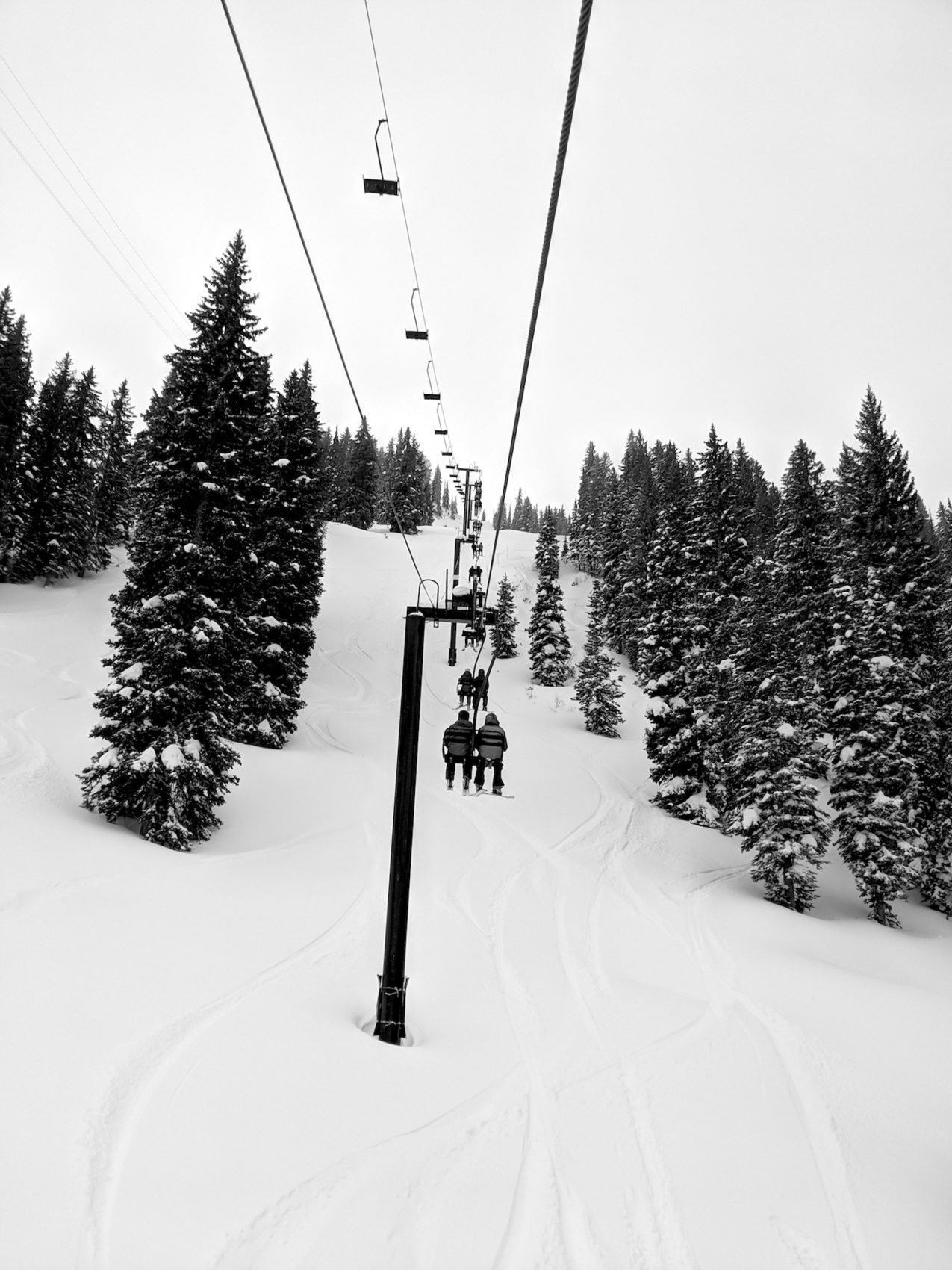
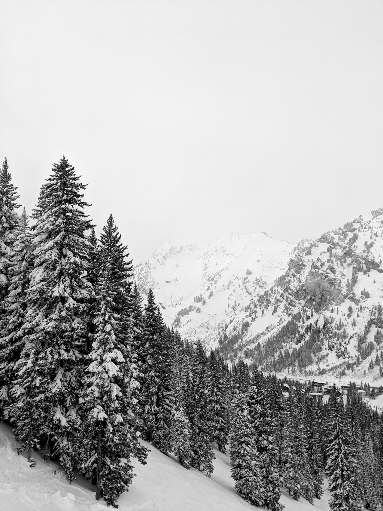
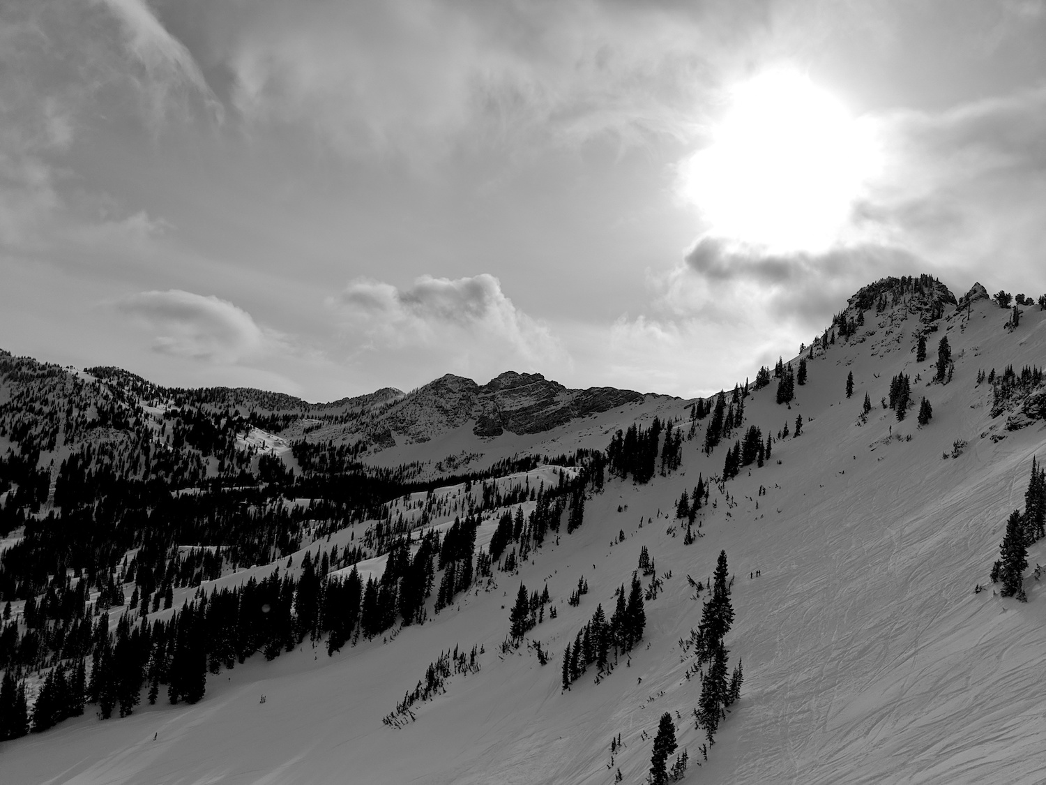
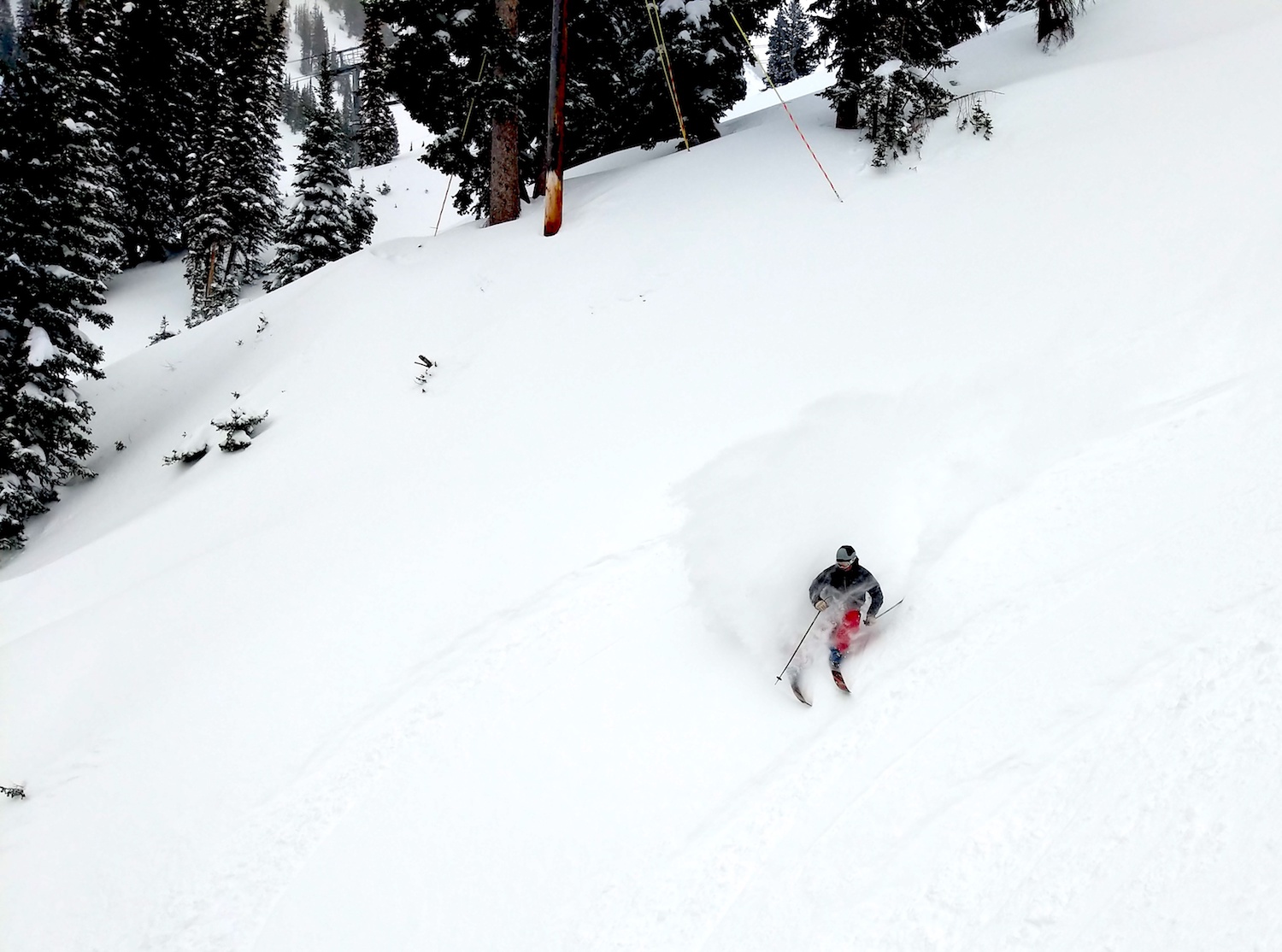
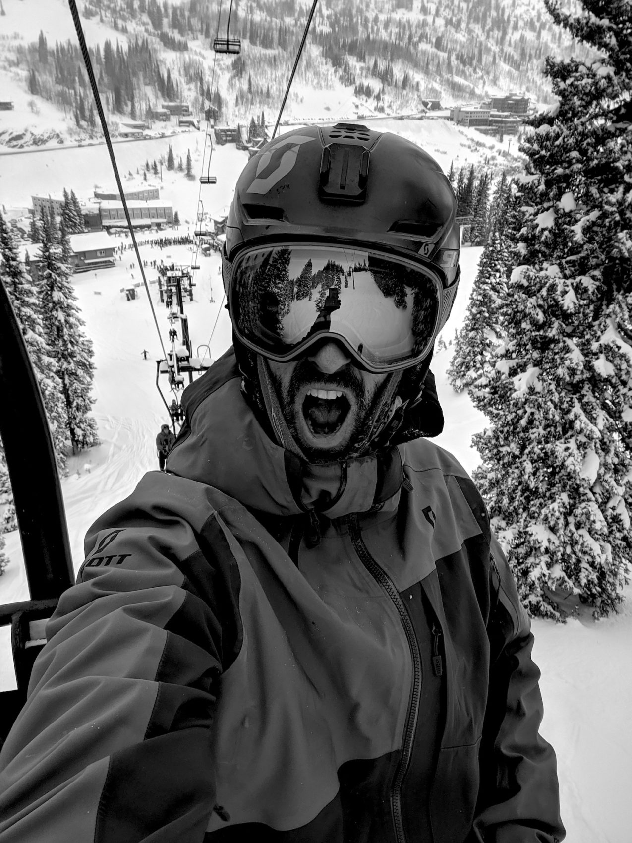
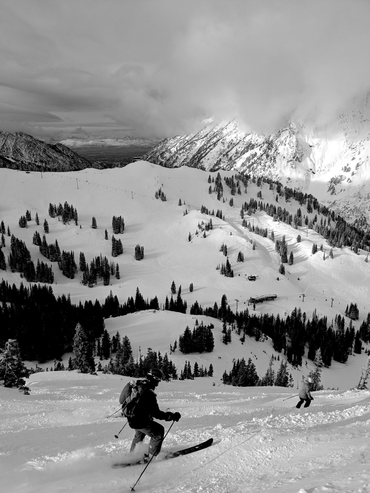
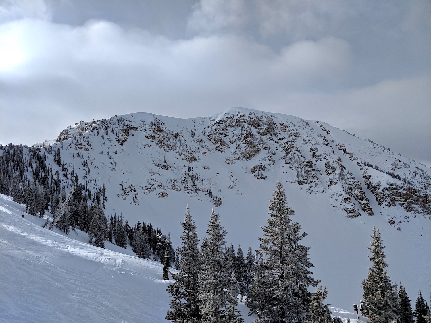
PHOTOS: