Report from January 10, 2020
Video and text brought to you by The Daily Pow
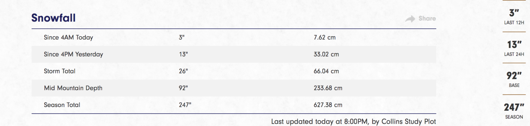
We were expecting a trace to 2 inches last night out of this storm.
When it began snowing moderately in the Salt Lake valley late in the evening we realized the winds of change were blowing, right from the lake.
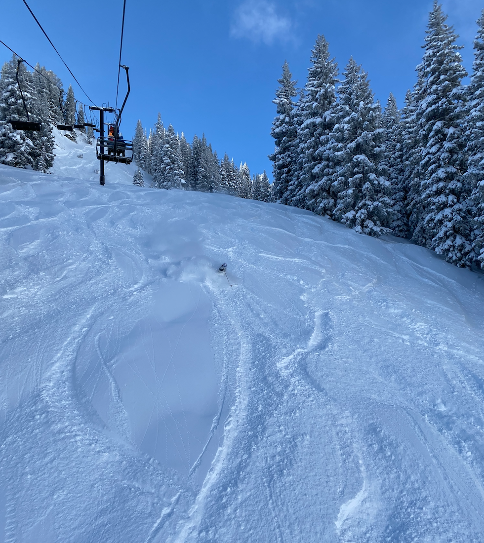
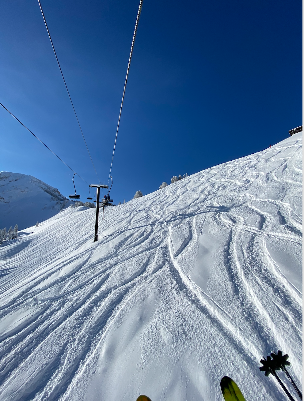
18 inches later and the skies went blue.
Out of thin air it would seem.
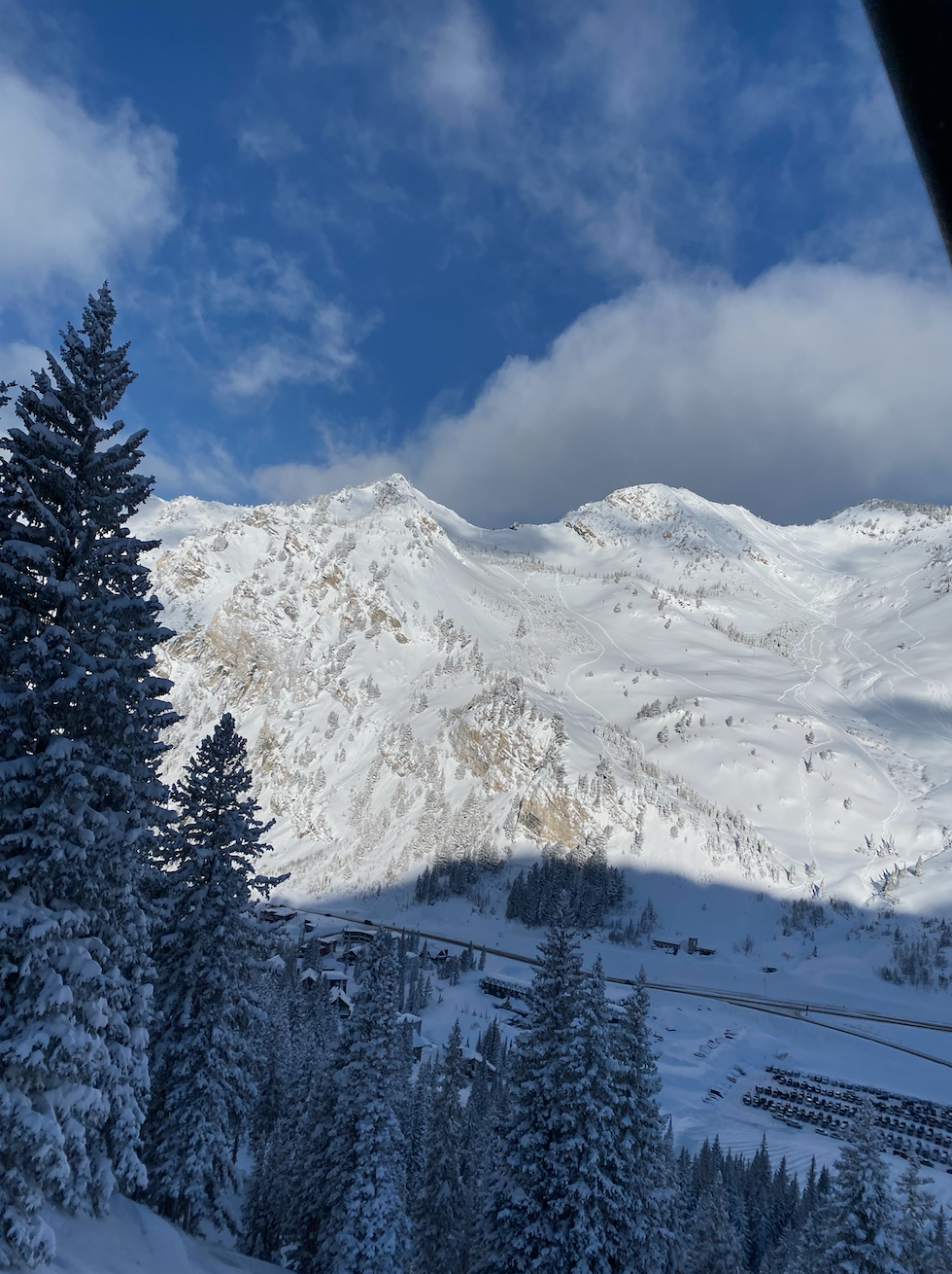
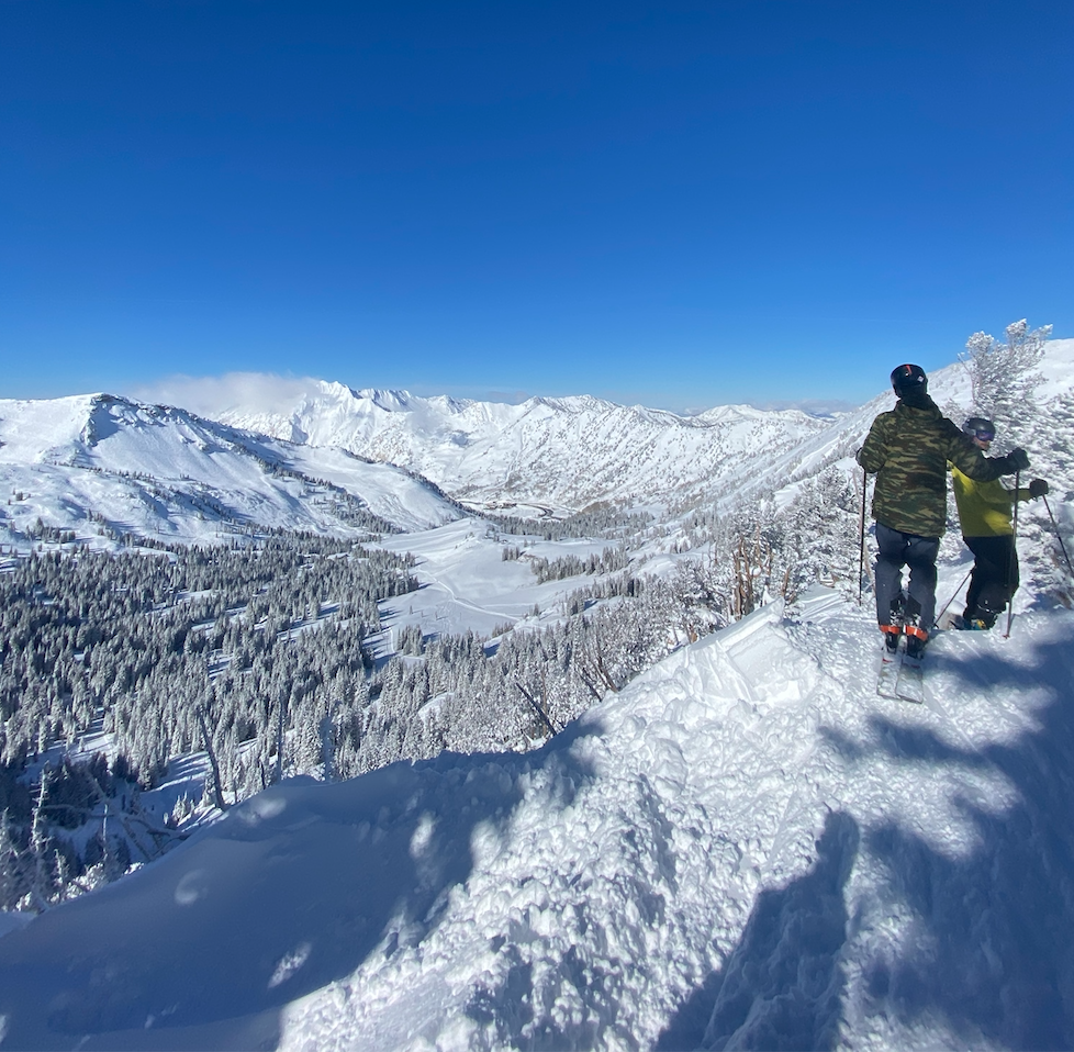
Alta Ski Patrol took full advantage of the great visibility, getting Backside open early and Baldy Shoulder shortly after.
The snow was blower in undisturbed locales. Skiers were trenching.
There was some wind effected snow on several aspects but for the most part it was quite primo.
With more snow in the forecast, all I can say is booyah!
SNOW NUMBERS:
FORECAST:
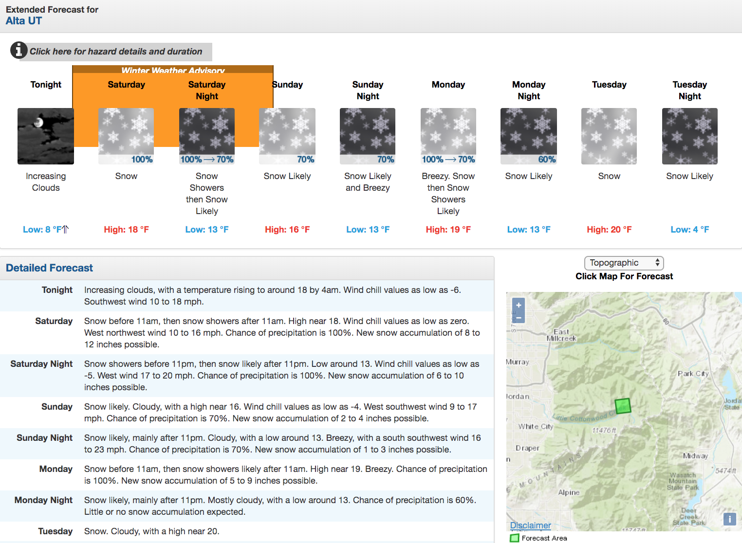
...WINTER WEATHER ADVISORY NOW IN EFFECT FROM 4 AM SATURDAY TO
 10 AM MST SUNDAY...

* WHAT...Snow expected. Total snow
 accumulations of 10 to 20 inches.

 * WHERE...Wasatch Mountains I-80 North, Wasatch Mountains
 South of I-80, Western Uinta Mountains and Wasatch
 Plateau/Book Cliffs.

* WHEN...From 4 AM Saturday to 10 AM MST Sunday.
- NOAA 1/10/20
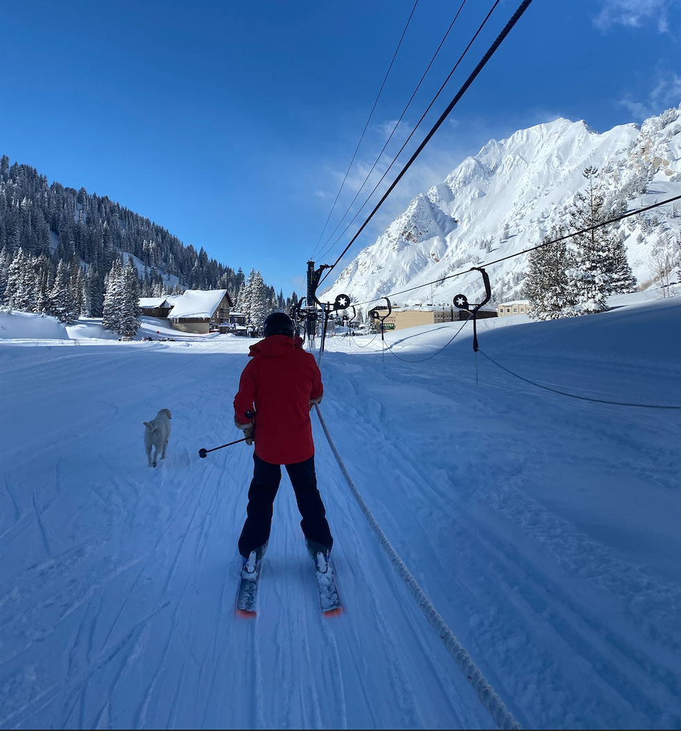
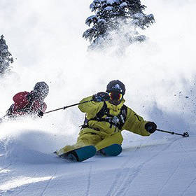
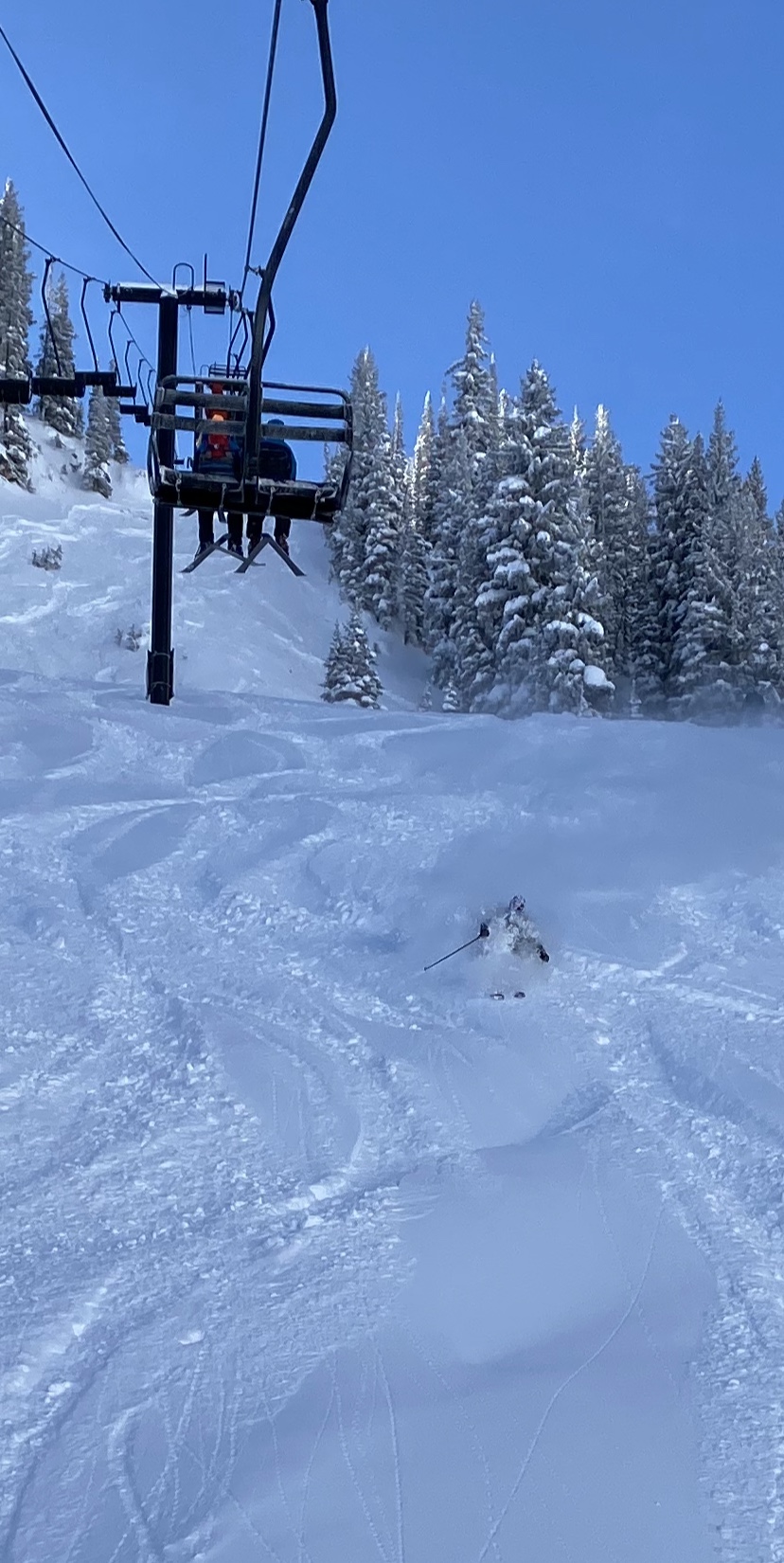
PHOTOS: