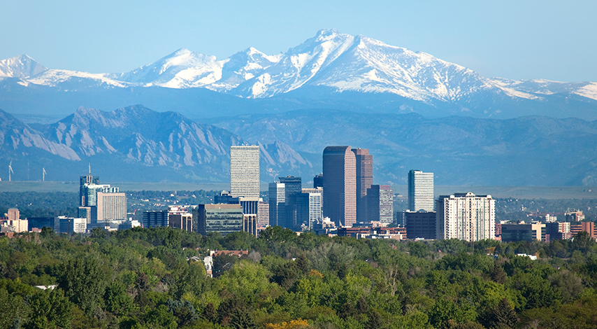
Friday night through Monday morning, Denver is forecasted to receive one of its biggest snowstorms since 1885. According to AccuWeather, the snow totals are predicted to be upwards of two feet in Denver and up to three feet west of Denver in areas such as Boulder and Fort Collins. Snowfall will be heaviest Saturday night into Sunday and is expected to be paired with strong, gusty winds.

The storm that moved through California and Nevada earlier this week will strengthen as it moves east and will combine with moisture from the Gulf of Mexico, resulting in Colorado getting absolutely HAMMERED with snow. Colorado residents have spent much of the season enviously watching surrounding states receive massive storm totals. It looks like your snow dances are finally coming to fruition, Colorado!

Where will the best skiing be? According to SnowBrains’ professional meteorologist, the heaviest storm totals will be east of the divide in Rocky Mountain National Park, Eldora, and Echo. These areas are predicted to receive between 60-71 inches of snow over the next 5 days. Near the divide on Berthoud Pass, Loveland Pass, and Arapahoe Basin should see between 48-51 inches.
Should the I-70 gods choose to open their shiny gates during this storm, we’d like to remind you to play it safe. Avalanche danger will be extremely high at higher angle slopes, and lower angle skiing might not be possible due to such astronomical storm totals. Colorado has already had an unusually deadly winter in terms of avalanche deaths; let’s not let this storm further contribute to this trend.