Most pilots try to avoid flying through any sort of weather, but the Hurricane Hunters fly through hurricanes in the name of science. The concept originated with Capt. W. L. Farnsworth in the early 1930s and was subsequently signed into law as the “storm patrol bill” in 1936. However, the first hurricane warning service dates back to the early 1870s. Located in Cuba, Benito Vines established the first methods to forecast tropical cyclone movements and was able to warn communities up the east coast of the US. The first known warning was made on August 23, 1873, for a hurricane that would eventually make landfall over Newfoundland.
It Started With A Bet
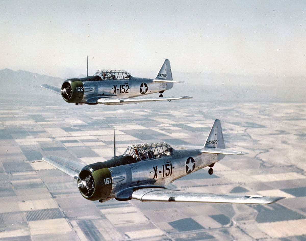
In 1943 Farnsworth’s theory of flying into a tropical cyclone was finally put to the test. As a storm bared down on Houston, Texas and the AT-6 Texans at a nearby airfield were evacuated. British pilots that were training at the base questioned the structural integrity of the planes since they were evacuating them from the storm. To prove they could handle the stresses of a cyclone, Col. Jow Duckworth took one of the planes and flew it straight through the eye of the storm becoming the first person to ever fly into a hurricane. On his return, he picked up the base’s weather officer and they repeated the flight through the storm. Three years later the name “Hurricane Hunters” was adopted for the daredevil pilots.
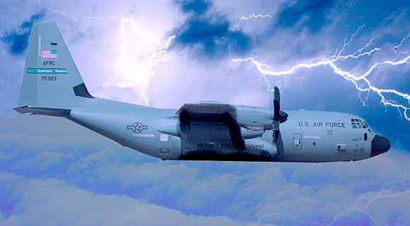
The weather equipment on board a WC-130J is all specialized to record data in one of the harshest environments on the planet. The GPS Dropsonde Windfinding System is a 2.5 pound, 16-inch cylinder that is equipped with a high-frequency radio and other devices that are dropped from the plane. This is one of the most important instruments as it records a vertical profile of the storms. The Hurricane Hunters usually enter the hurricanes at about 10,000 feet if they are flying through the eye (center) of a storm, but can fly as low as 500 feet. When they are collecting data on the entire structure of the storm they fly about 100 miles from the center of the vortex.
On Board A Roller Coaster
“This storm was rapidly building with heavy rains, hail, turbulence, and lightning. We started experiencing heavy downdrafts from a severe thunderstorm, and a mesocyclone, basically an airborne tornado, suddenly developed in front of us that we couldn’t evade. It first tried to turn the airplane upside down and when we wouldn’t let it do that, it threw us into a nosedive.”
– Major Brad Boudreaux, 53rd WRS
Although flying through a massive storm is quite risky, there have been only six planes that have gone down in active duty. In total 53 lives have been lost while flying through hurricanes and zero since 1974. Even with all the remote data-collecting technology that is currently available these men and women of the 53rd WRS play a vital role. Without them, North and Central America would be much more vulnerable to deadly hurricanes.