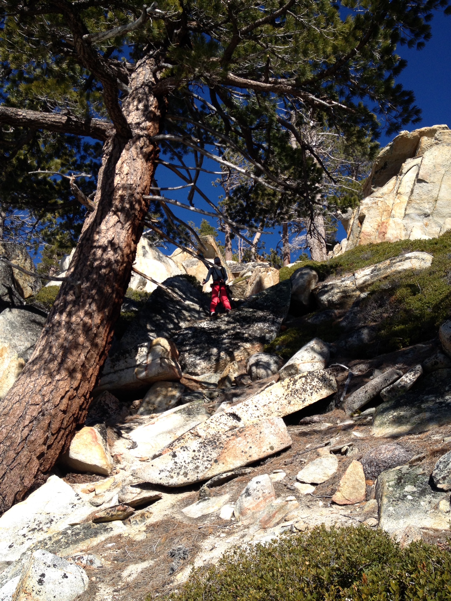
Tackling rocks and bushes on the way up. photo: Reza Hajebi
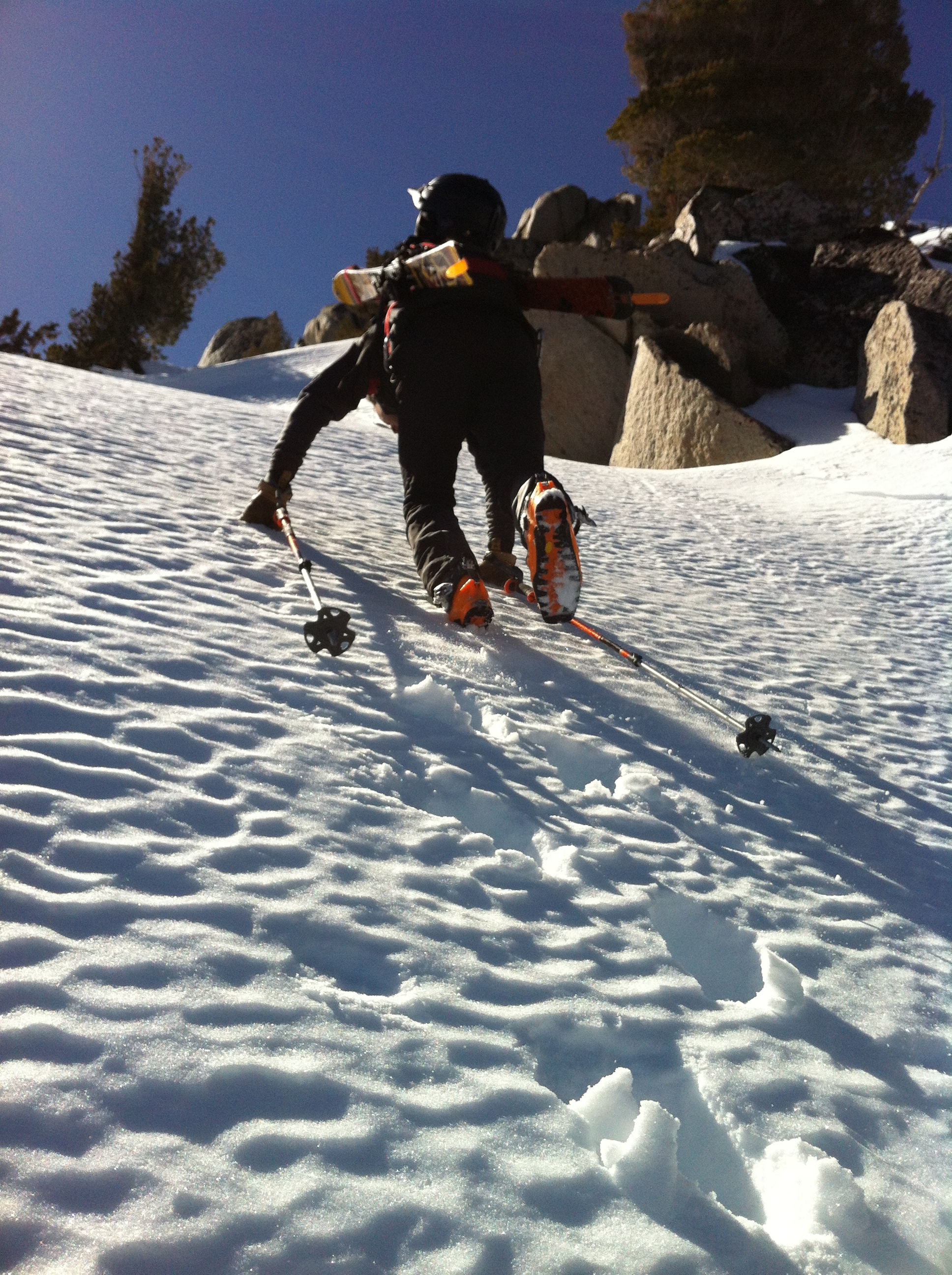
After convincing my friend Reza to ditch his plans for a southerly approach to Jake’s peak – accessed from Emerald Bay and most likely requiring the use of ice-axes and crampons – we settled for the main route. The main route to Jake’s peak can be accessed from Highway 89 just south of the headquarters for D. L. Bliss State Park. We left the car at a little past 8AM and started boot hiking straight up the face as there was not enough snow in the lower elevations. After an hour of boot hiking, which included some scary rock scrambling and lots of bushwhacking, we finally made it to a high enough altitude to be able to start skinning up on snow.
The snow was very firm underneath 1-2” of newly softened corn. This proved to be a challenge once we reached the steeper slopes as our skins didn’t have a good grip on the snow and we kept sliding down every other step we took. After about an hour of skinning, we decided to ditch the skins and continue boot-hiking the rest of the way up.
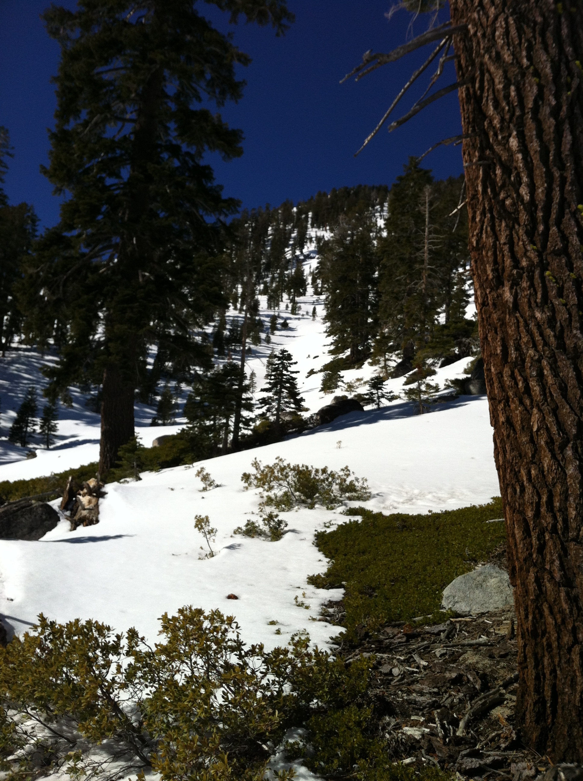 Looking up the East face of Jake’s Peak
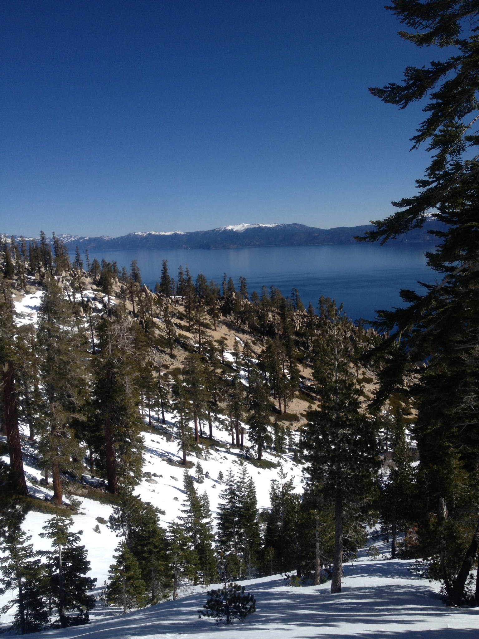
The icy surface together with the steep slopes made for a brutal hike up. We pretty much had to hike straight up the fall-line in order for our ski boots to have a good grip in the hard-pack snow/ice. There were more than a couple of spots where we wished we hadn’t left the ice-axes and crampons in the car. The struggle was not all bad though as it forced us to keep taking breaks and enjoy the breathtaking views of Lake Tahoe, Emerald Bay, Cascade Lake and Fallen Leaf Lake down below.
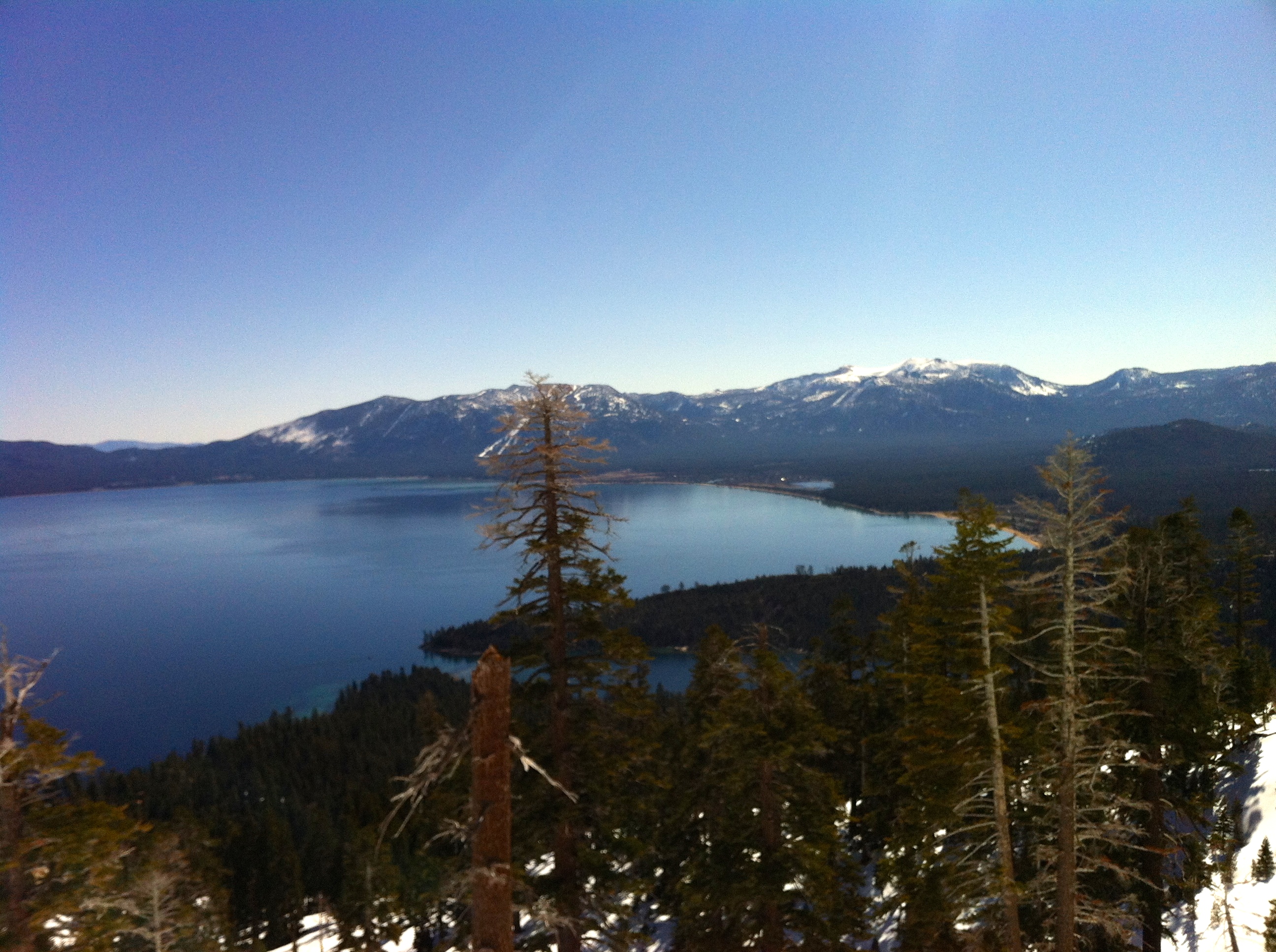 Breathtaking views of Lake Tahoe and Emerald Bay on the way up, with Heavenly ski resort in the background.
We finally made it to the summit of Jake’s Peak at 3PM. On the way up we could see tracks of other skiers and snowboarders on the East facing slope, but we did not see anyone throughout the day. We had to assume the tracks were one or two days old. Considering the high winds on Tuesday, relocating the new snow from Monday’s snowfall and therefore making for relatively dangerous avy conditions, we concluded the tracks had to be just a day old (from Wednesday).
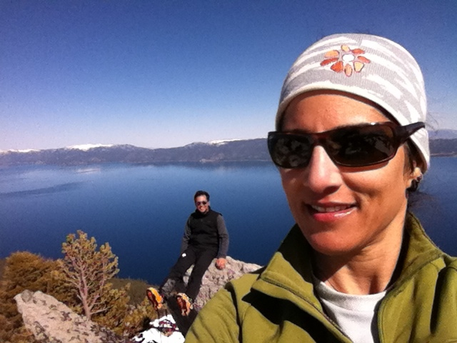 Mandatory selfie on the summit, with Reza and Lake Tahoe in the backgrond.
After a half-hour break up top, refueling, rehydrating, and checking out the chutes on the South side of the peak in preparation for our next attempt, we started skiing down at 3:30PM. By this time most of the East facing slope (which is what we were skiing) was in the shade and the snow had already hardened. The skiing improved once we made it to the sunny parts though. Trying to avoid the rocks and bushes we had to tackle on our way up, and to ski as far down as possible, we ended up a bit south of the route we had taken on our way up.
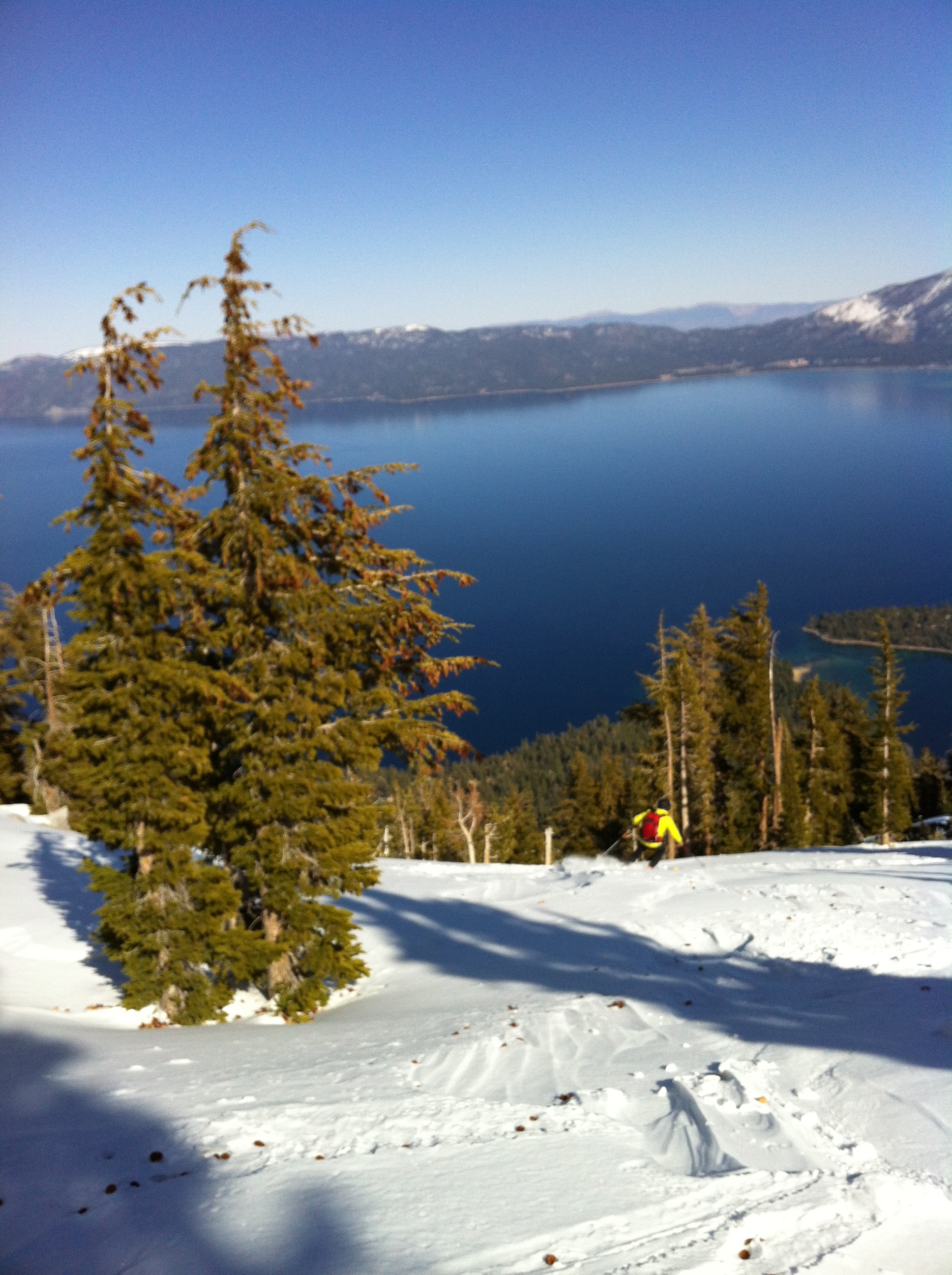 Reza dropping in.
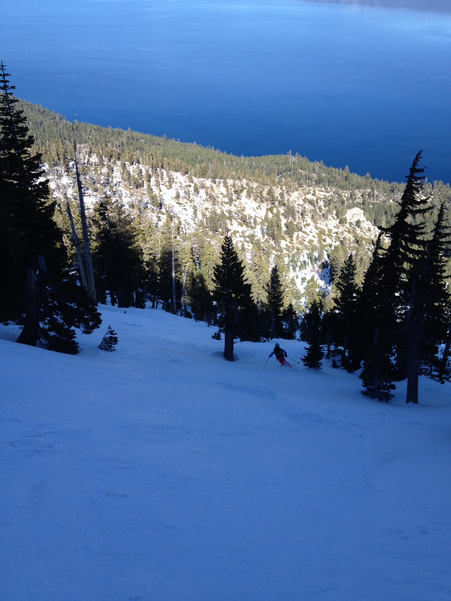 Me skiing the hardened snow in the shade. photo: Reza Hajebi
Once we could no longer ski without crossing rocks and bushes, we took the skis off and started boot hiking down into the forest. At some point we came across very fresh looking bear tracks in the snow. A couple of minutes later, we ran into the culprit himself, who looked in our direction from a 20m distance, all dazed and confused due to an unusually short hibernation season. We greeted him calmly holding our poles above our heads, and took a slightly different route down to avoid any unnecessary confrontations.
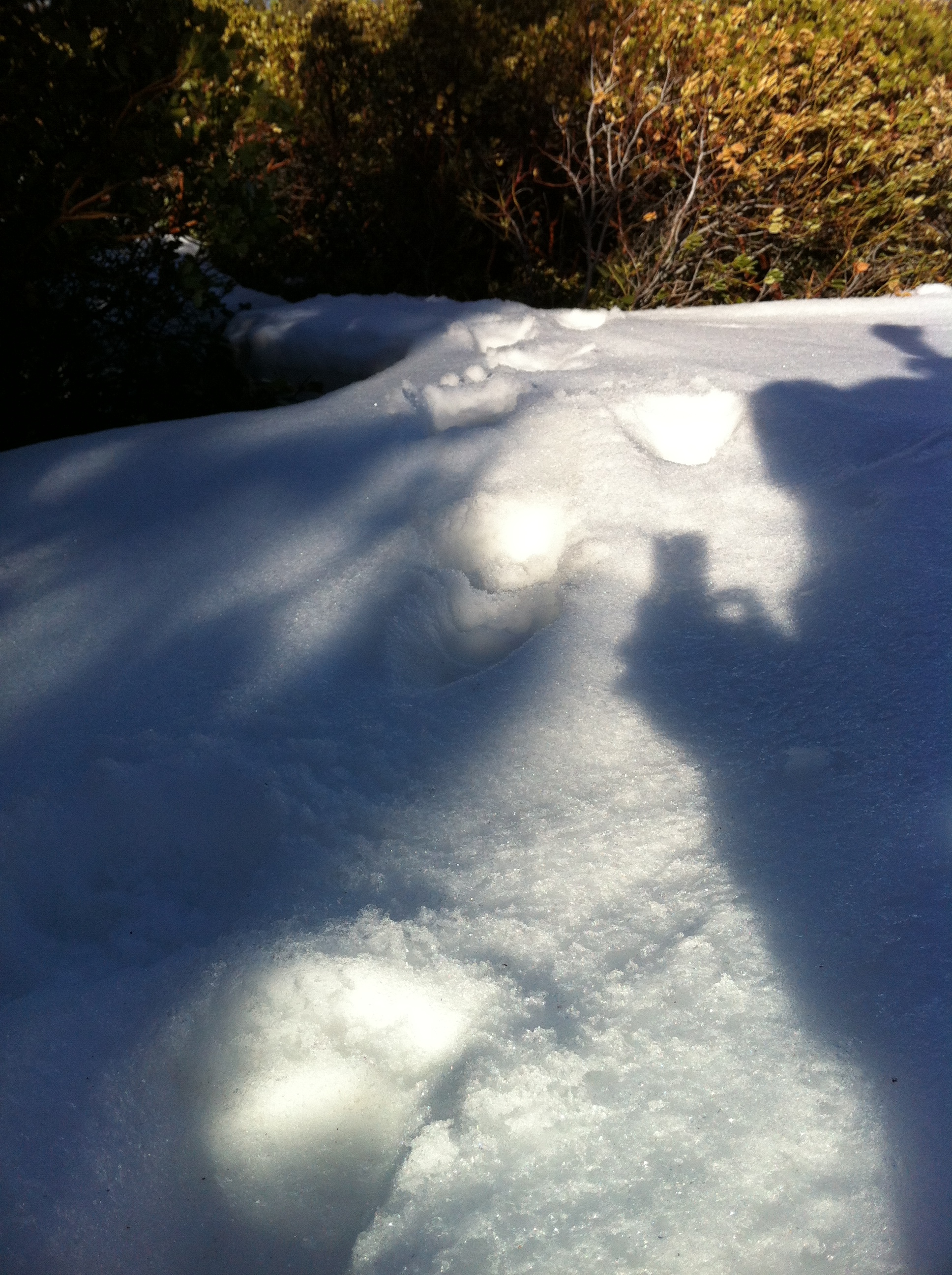 Fresh bear tracks.
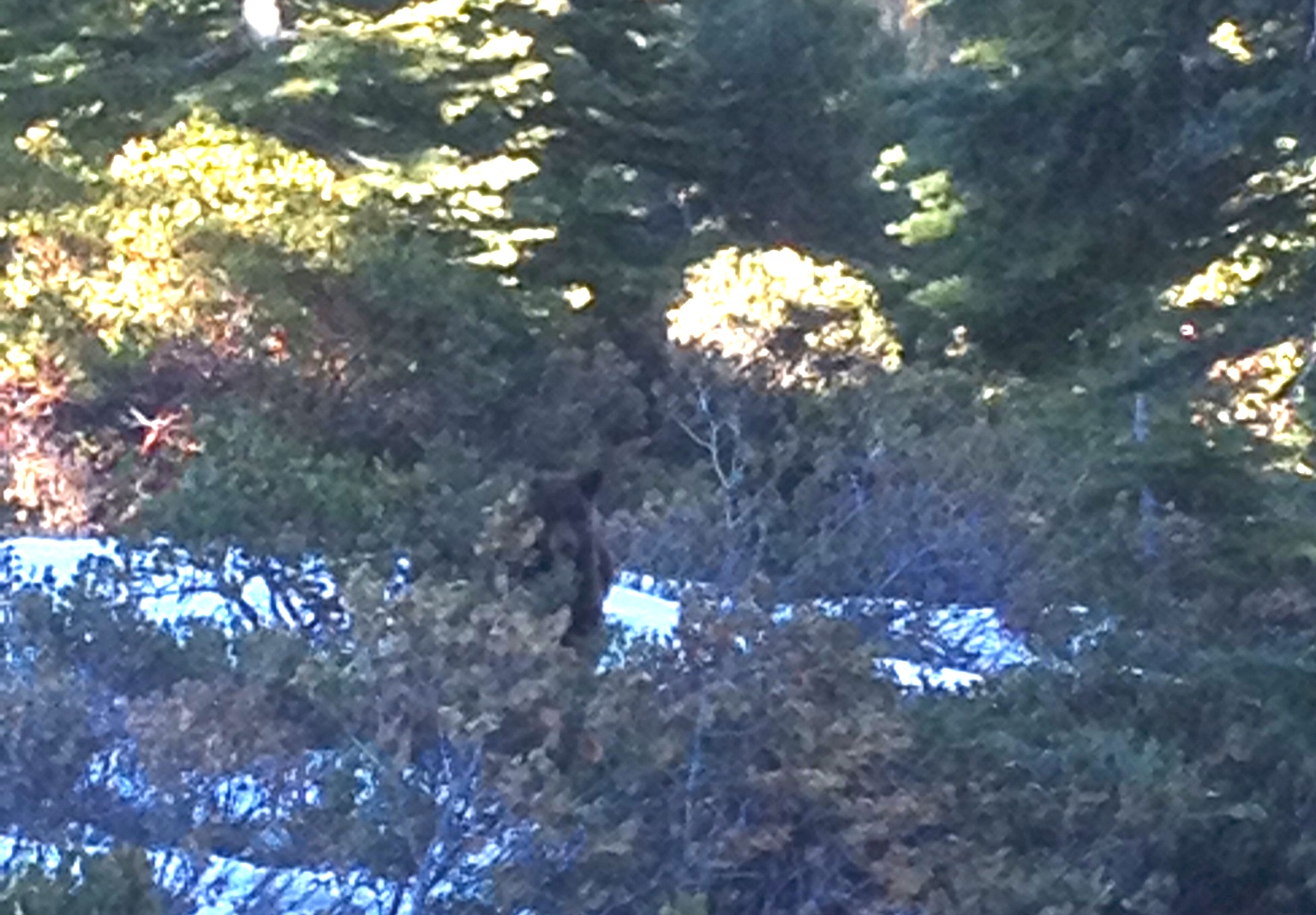 A California Black Bear checking us out on the way down. photo: Reza Hajebi
We hit the road a couple of hundred meters further south from where we had parked the car. By the time we reached the car, it was 5PM. Long day, but certainly worth it!
Photo Tour:
 More breathtaking views on the way up, with Mt. Rose in the background. photo: Reza Hajebi
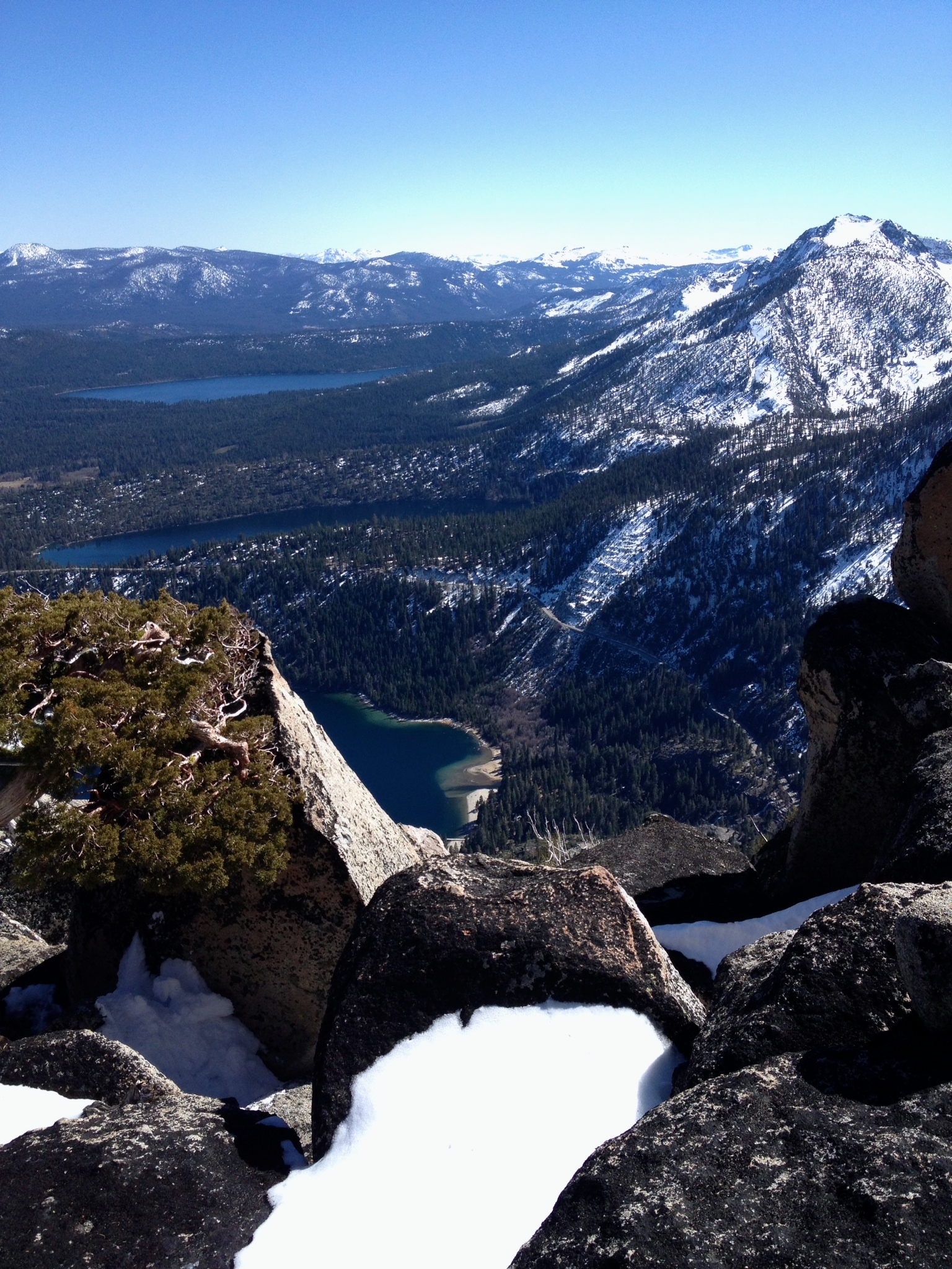
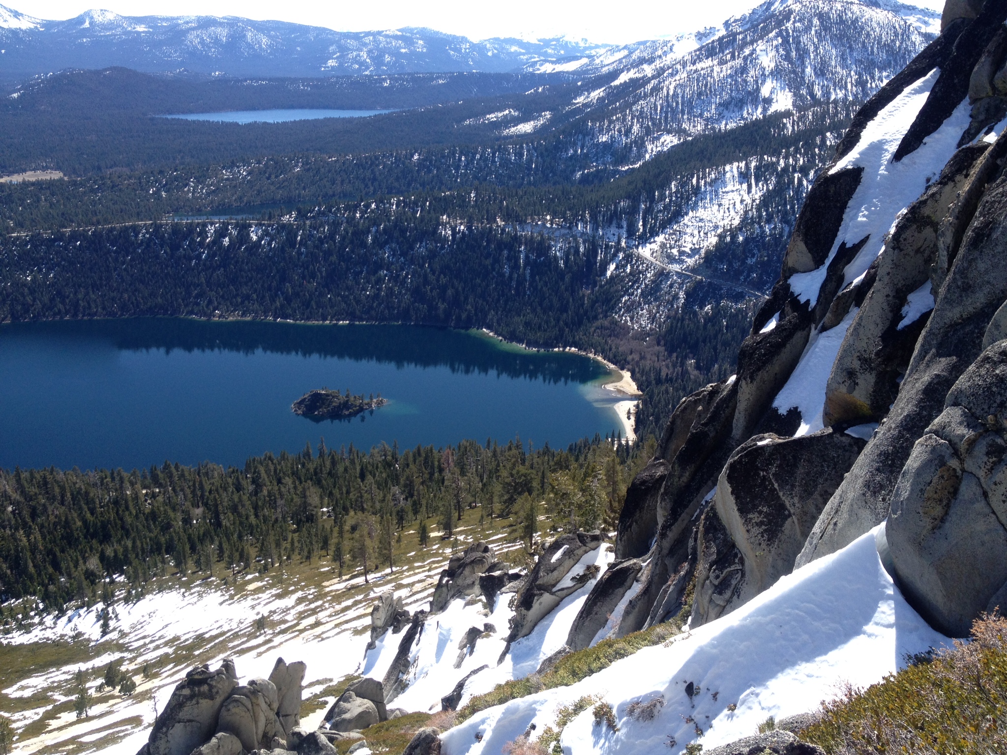 View of Emerald Bay, Cascade Lake, Fallen Leaf Lake, and Desolation Wilderness
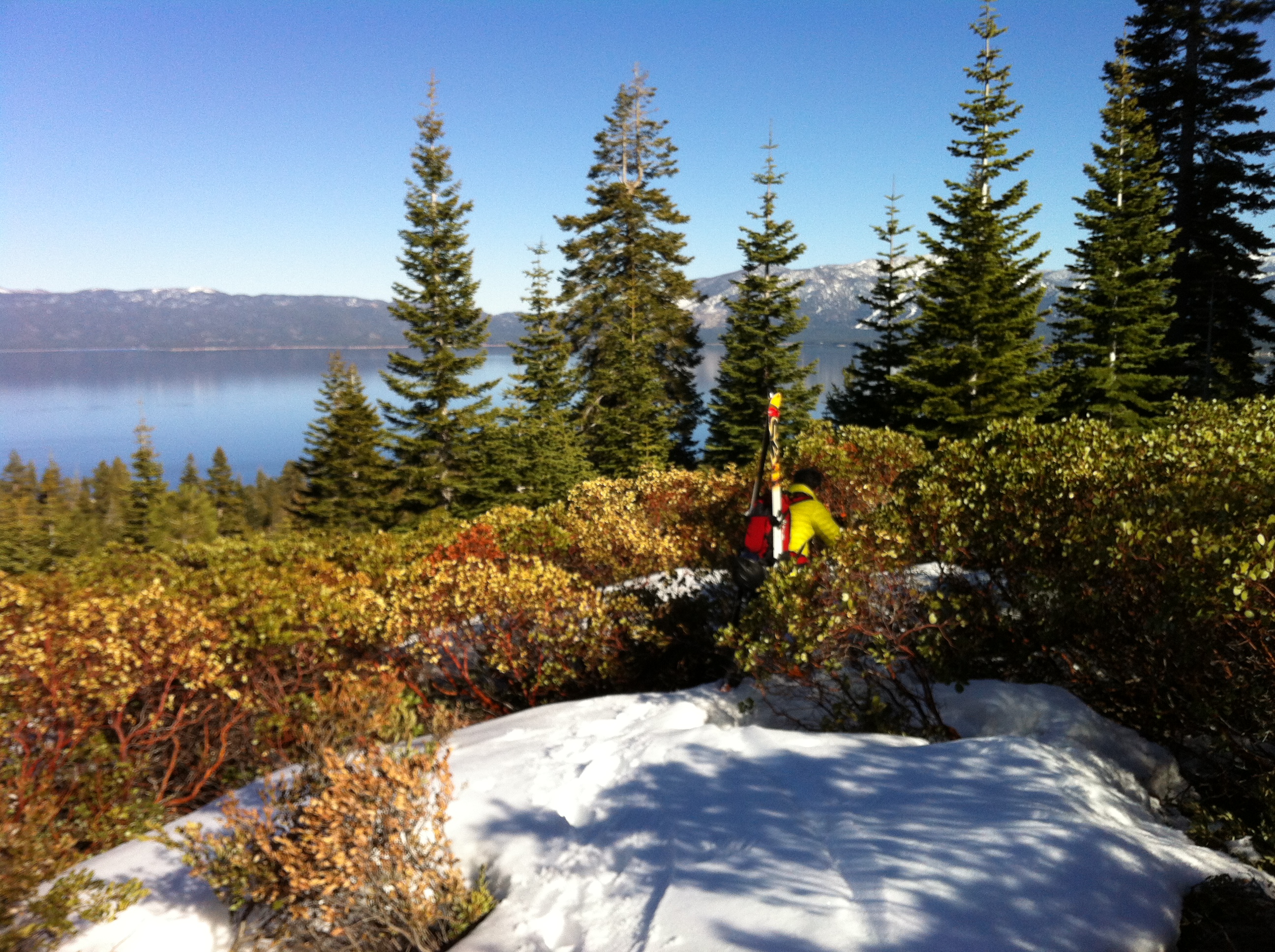
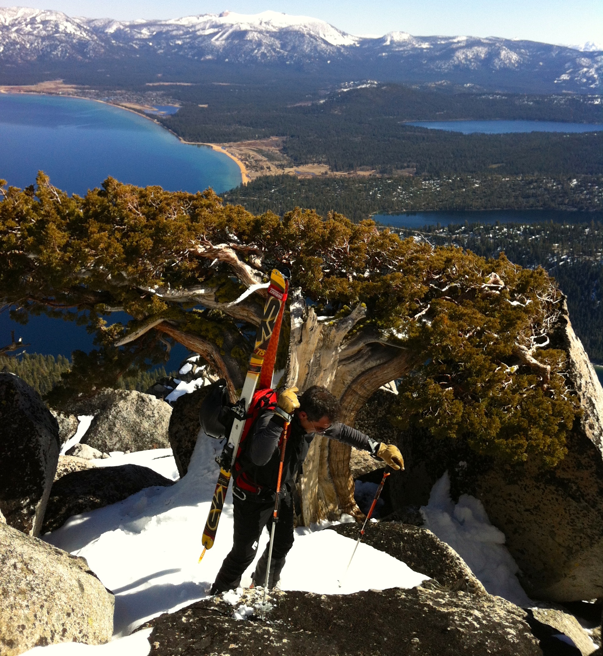 Reza passing by a beautiful Sierra Juniper with Lake Tahoe, Cascade Lake, Fallen Leaf Lake, Camp Richardson (city of South Lake Tahoe) in the background.
 Views of Mt. Tallac, Maggies Peak, and Desolation Wilderness. photo: Reza Hajebi
 More bushwhacking on the way down.
I’m proud of you so much iloveyou you are the best in all the west adventure boy…
you are right. we basically traversed from one side of the mountain (north side of Jake’s) and ended up topping out on Emerald Point.
THAT’s why it took so long?!!! Next time I’m navigating Zoro 🙂
That definitely ain’t the main route. 7 hours to the summit – sounds like a fun day if you’re shrooming!
Great pics! That’s about as thin as I’ve ever seen coverage up there. Hoping for all the lines in play next season. Thanks for the post.