
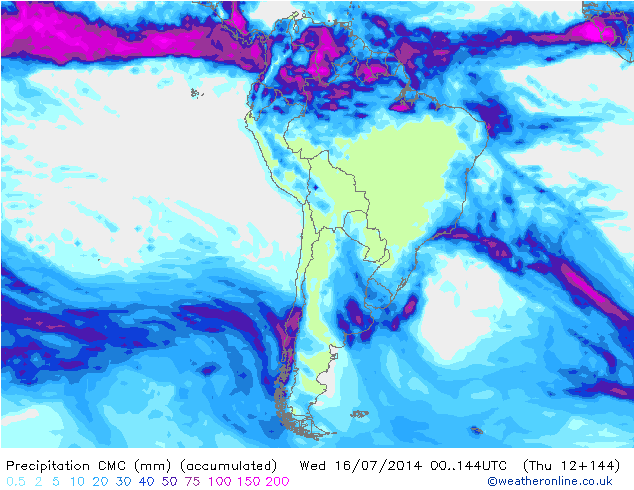
The timing on this last round of storms was accurate at least for the first two storms, the intensity of the storms however was quite a disappointment. The third storm that was expected to hit is an open wave which has stalled out in the Pacific. Forty centimeters (16 inches) is the total that’s being reported from the two storms combined.
Quick Recap of Recent Storms
The shortwaves decided to come through the ridge instead of using the ridge as a steering mechanism, effectively cutting themselves off from the main flow. Once this happens the storm looses the majority of its lifting mechanisms to squeeze out moisture. The third wave stalled and is waiting for an upstream kicker which is flattening and displacing the ridge to the north for the time being.
Short Term Forecast
The aforementioned open wave stalled causing a break in the predicted storm cycle. It is waiting for an upstream kicker that is expected to hit the coast of Chile on the 14th. The front looks like it holds together for this to become a 7-11 inch storm for Las Lenas (4-6 inches if it falls apart), however it looks like most of the energy goes just to the north and west of Las Lenas so Ski Arpa Chile and Portillo should get hit the hardest for that particular region. Los Penitentes gets shadowed out since it sits farther to the east so they may match Las Lenas’s totals. Some flurries on the 15th before a second wave hits on the 16th. This second wave is a new feature that just popped into the models so a little skeptical the solution holds. The Canadian is much more bullish but also more reliable, so if this second wave holds together another 4-8 inches. If the Global Forecasting System (GFS) is right then 2-4 inches.
Long Range Outlook
The Global Forecasting System has been all over the place, there is zero continuity from one run to the next. It’s performance since the first big series of storms that hit Las Lenas has been erratic at best. Quite surprising it timed out the last couple of storms correctly. Anything beyond the 180 hour time frame the models start to look like a flickering candle, so the ensembles have become more reliable for the time being. Essentially this is a broad brushed outlook. It looks like a ridge builds in between the 17th and the 21st and then begins to break down around the 22nd. Then the possibility of a couple of storms between the 23rd and the 26th. Confidence level is extremely low with this forecast, even from an outlook perspective. Which at this stage is probably a good thing because the belief is that storms should start to pop into the models as the month comes to an end.
Fantasy Charts
The Climate Forecasting System (CFS) latest run has just come in. It no longer shows a series of storms to end the month of July unlike yesterdays run. The fantasy charts have one run per day but it makes adjustments during the 24 hour period, so inclined to discount this most recent run until it completes a couple rapid refreshes. The thought was that the timing of when the strongest storms were going to come in flip flopped from the third week to the fourth, which was the WeatherBrains prediction for July. The CFS Tue 0Z (yesterday’s run) had the three strongest storms for July hitting between the 25th and the 31st so holding on to the hope that the GFS is yet to pick up on something in the teleconnections to support this idea. Otherwise the prediction for a big July is a bust. Still waiting for signs of some type of El Nino signal, to occur.