As skiers in the Pacific Northwest rejoice over their abundant snowfall, Colorado and Utah skiers are making their yearly sacrifices to Ullr a bit late. Why have Colorado and Utah been so late to receive typical winter snowfall?
The culprit: La Niña. However, La Niña itself isn’t directly responsible. Rather, it is La Niña’s tardiness that is causing the dismal snowfall numbers.
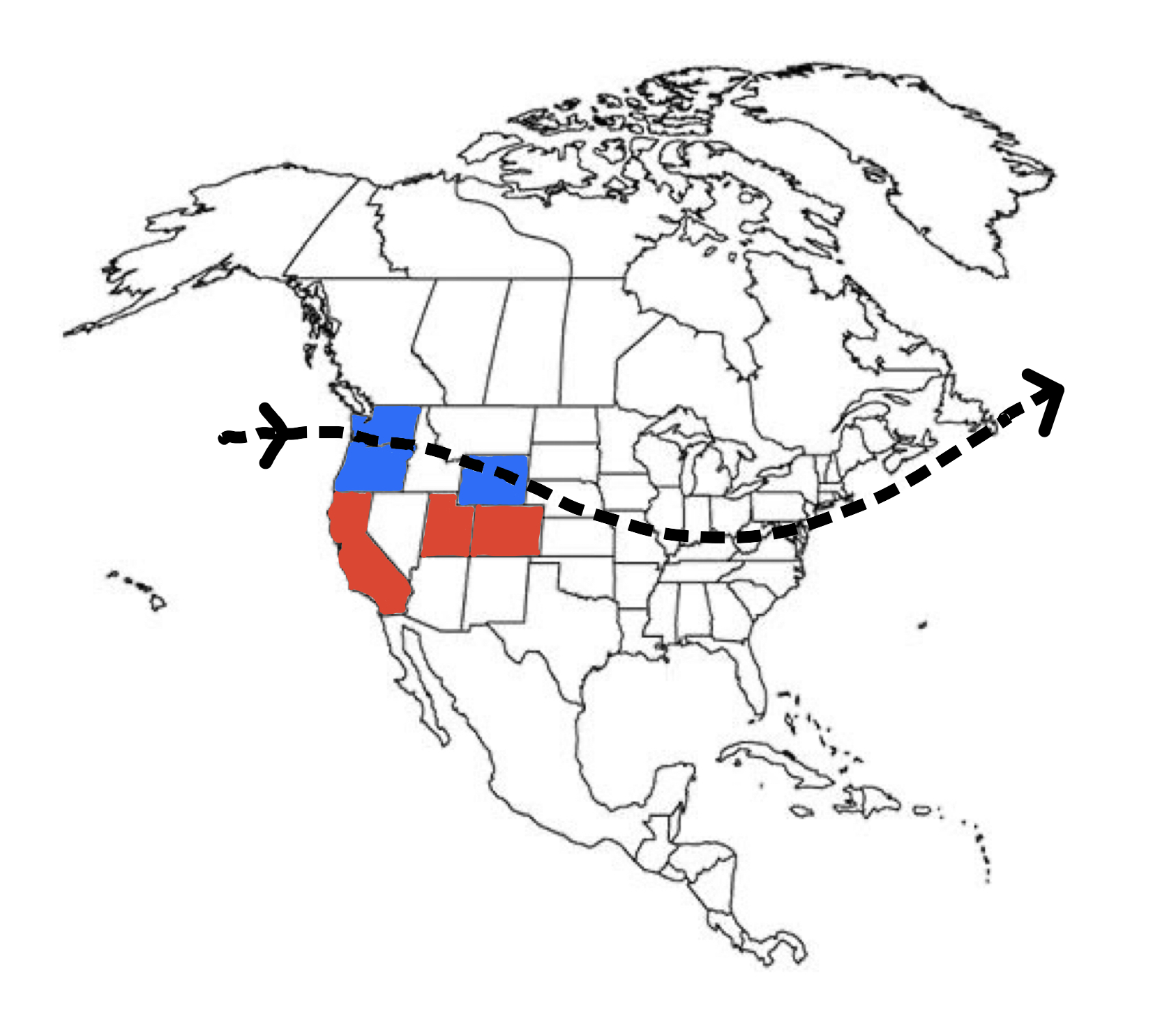
Thus far this season, the jet stream, which is responsible for all of North America’s weather, has been far further north than it typically is during such a strong La Niña pattern. Above is an approximate map of the jet stream so far this season and the effect that it has had on snowfall
It becomes clear that the jet stream is missing the Sierra, Wasatch, and Rockies by a pretty good margin. This means fewer storms and less snow for these regions. However, not all hope is lost. Below is a 240-hour run of the GFS cyclonic vorticity forecast:
As you can see, even in the next 10 days, this pattern is beginning to shift to a typical winter flow. In my opinion, using several long-range models and historical data, this marks the beginning of La Niña 2020 falling into a consistent winter flow. This is great news for the currently dry regions like Utah and Colorado. If the jet stream pattern moves and stays south, Colorado and Utah will receive small, consistent dumps of snow, perfect for building a solid early season base and keeping avalanche risk to a minimum.
If this pattern stays south (which it should), the new jet stream/snowfall map should look something like this:
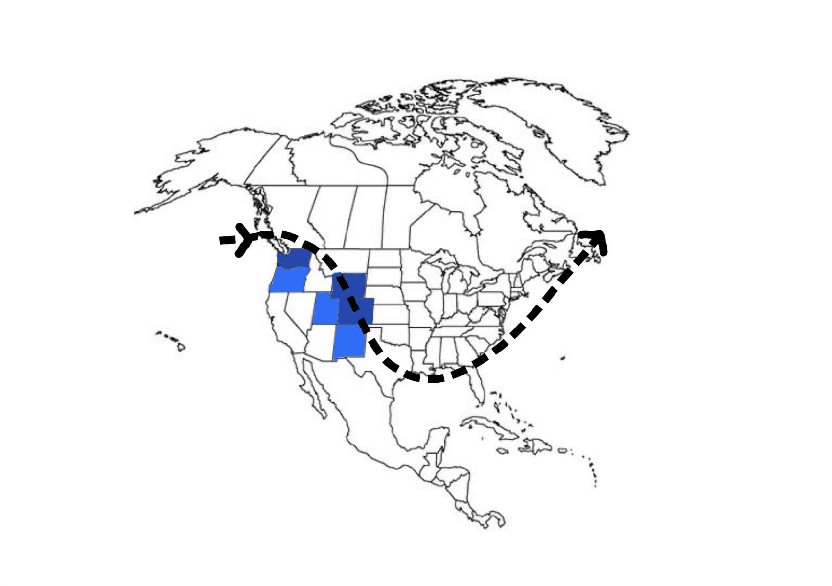
Overall, this is great news for pretty much everywhere. As this pattern continues to move into a more typical southern, winter pattern, we should begin to see more and more consistent snowfall across the US.
New snow will NOT help the avy problem. Any fool with an ounce of avy awareness knows depth hoar is in abundance right now. Go out, Dig, and see for yourself. Rotten snow is everywhere. Only an idiot would back country ski before april of this year. More snow will only hide this problem.
Hey there Jon. Actually, the more snow you have on top of a depth hoar layer, the better it is for long term avalanche risk. A deeper snowpack means a shallower temperature gradient and therefore less sintering of the snow at the base layer. If you want to read more about temperature gradients, I’ve written several posts on snowpack science and temperature gradient formation of depth hoar. The deeper the snowpack, the lower the temperature “tolerance” of the snow before faceting.
awesome graphics!
Thank you!