This post first appeared on shastaavalanche.org
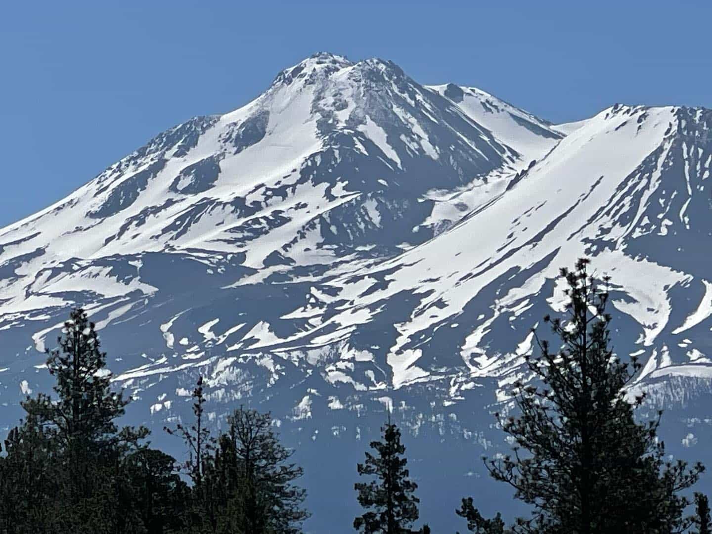
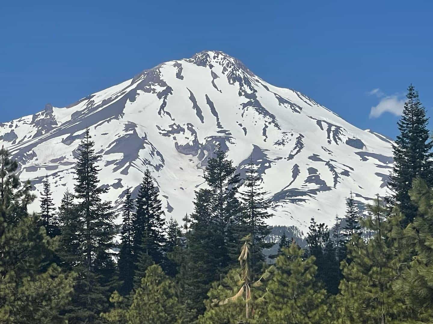
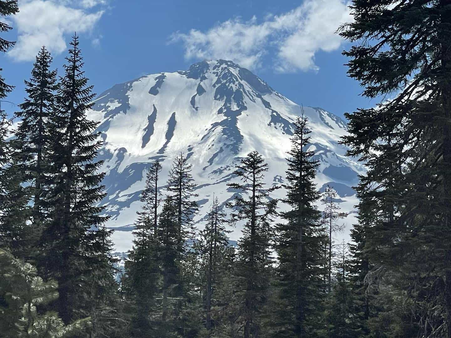
Spring climb and ski season has made the transition to early summer conditions. A bountiful winter has brought excellent snow coverage to the lower half of the mountain, but it is getting thin on the upper mountain. Early summer conditions means a little bit of everything. Perfect blue skies with no wind can be followed by building clouds, thunder/lightning and strong wind in the same day. Whiteout conditions can envelop the mountain quickly. Don’t get caught above Redbanks in these type of conditions. While you might climb under stars and blue sky in the morning, clouds can build rapidly and obscure visibility on the upper mountain in the afternoon. Every year, climbers become lost during this type of weather. Furthermore, being on a 14,000-foot peak in electrical activity is flipping frightening. Climb early and set yourself a turnaround time of about noon or earlier. Keep an eye to the sky! Carry navigation tools.
Snow surfaces are variable with small sun cups and old boot, ski and loose wet avalanche tracks. Smooth, buttery turns are still happening in select areas on select days. Sniff it out.
Rockfall. Keep your head up and wear a helmet, properly. With thin conditions in the Redbanks area, climbers accidentally knocking rocks down onto fellow climbers below is a highly likely occurrence on busy weekends. Stay on snow as best you can and be very mindful of feet placement in steep, rocky areas.
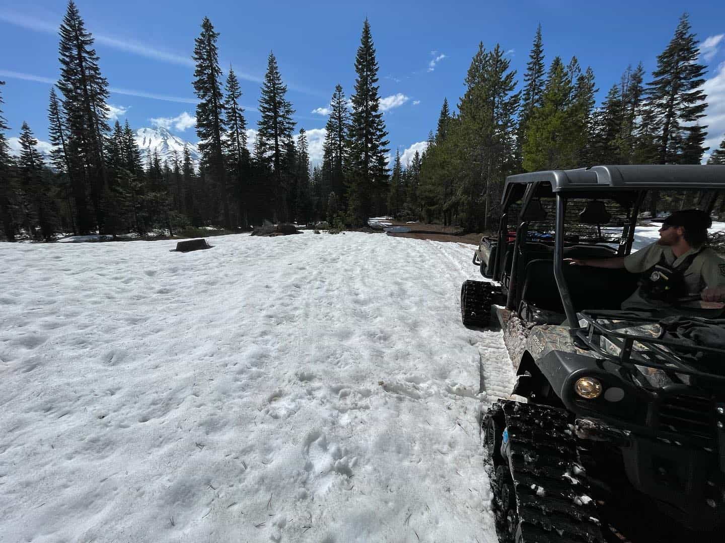
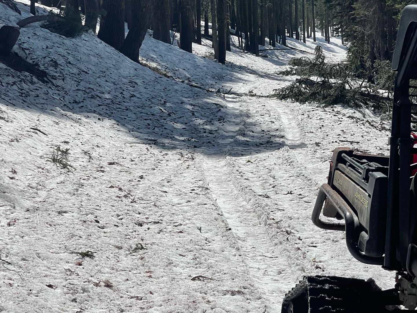
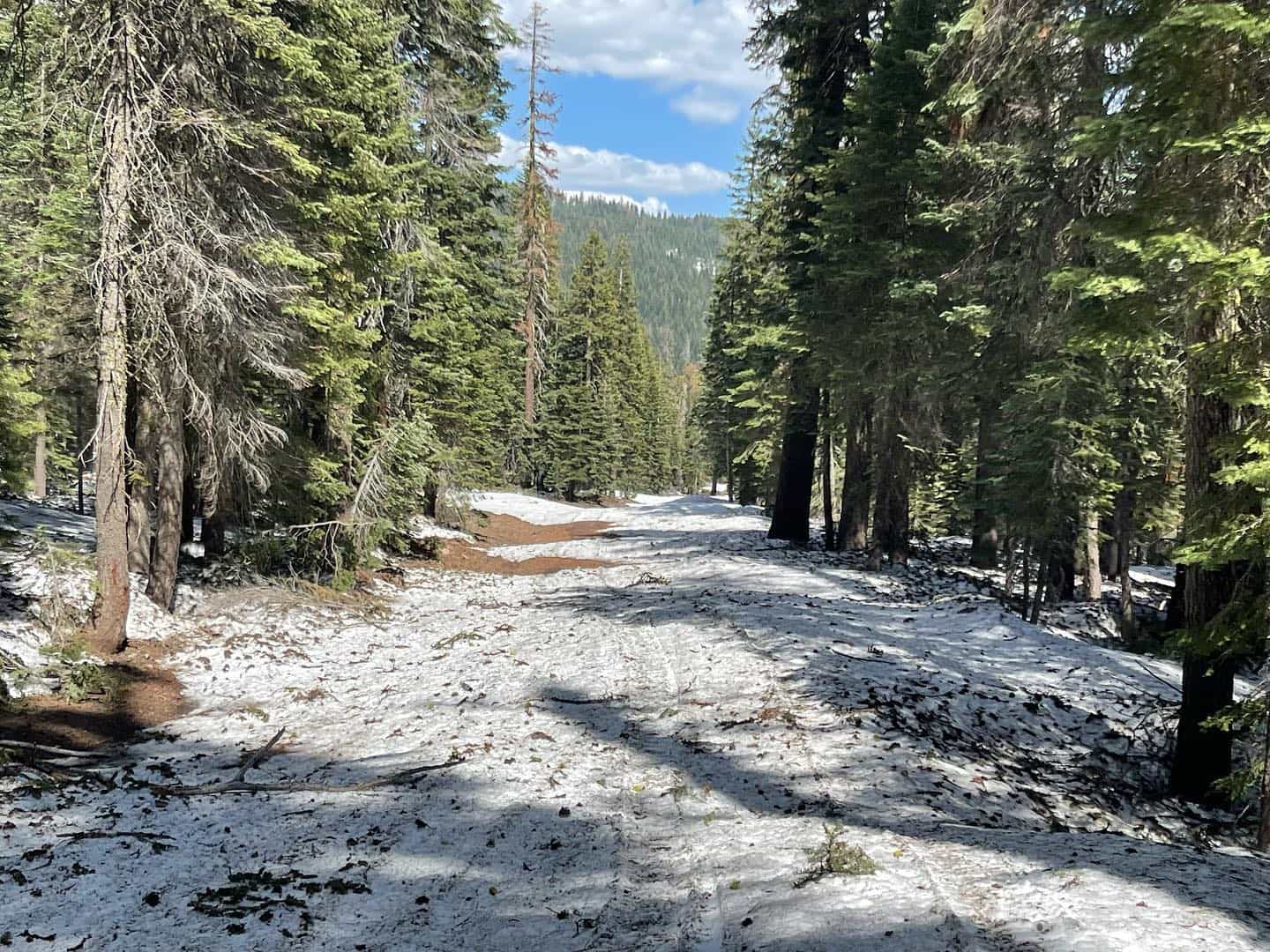
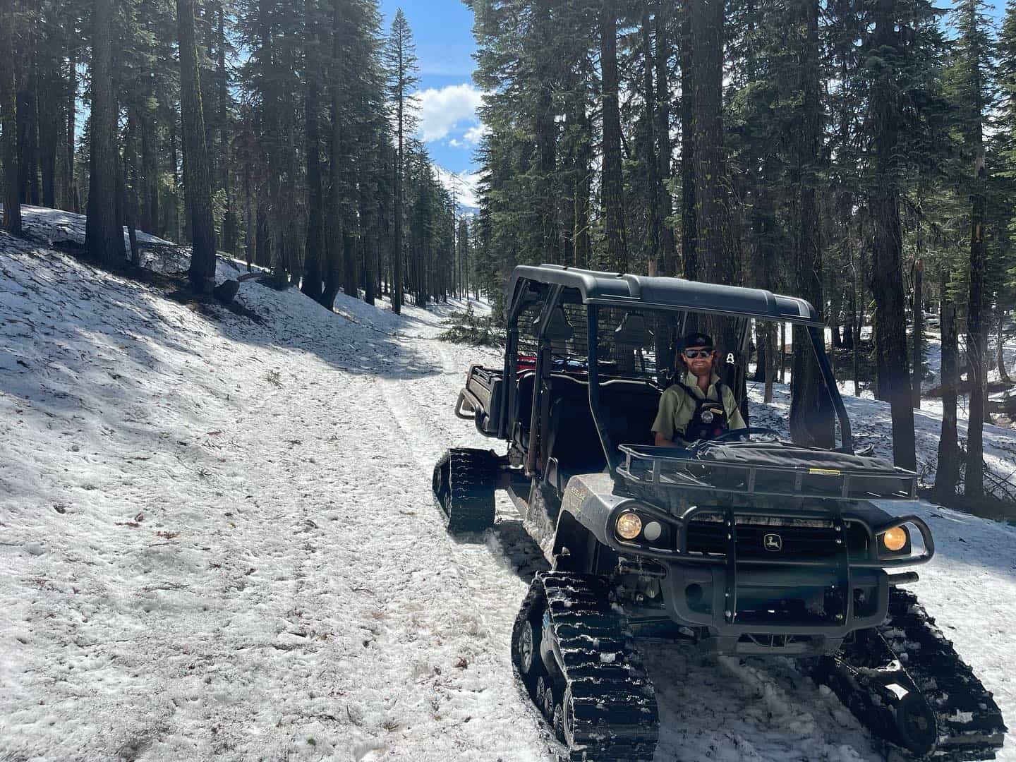
Check out our recent trailhead access update from June 3. Bunny Flat is the only accessible trailhead at this time. STILL, The Bunny Flat parking lot is small due to deep snow. If parking is unavailable, please park below the lot on the east side of the road, maintaining two-way traffic flow, in and out of the trailhead. Do not park in the middle of the lot. Motorized use is still possible in the Old Ski Bowl, but large toy haulers are not advised.
Memorial Day weekend marks the end of May. As we roll into June, Mount Shasta is measuring 93 inches of snow near treeline at Horse Camp. Water and bathrooms are available there. Everywhere else, melt snow for water. Do not forget your wag bags. It’s required to pack out your poopie in the MS Wilderness. Free wag bags are provided at all trailheads.
A decent bootpack exists, yet snowshoes may still be advantageous to your travels. Thin snow in rocky terrain can be a post hole nightmare, with hollow spots galore. Misery Hill is melted out. Plan to leave your skis secured here if continuing on to the summit. Ridge routes are thin and/or melted out. You can still climb them, but expect loose rock scrambling or dropping low along the ridge to maintain snow travel. Inevitably, loose scree slopes will have to be navigated in select areas.
REDBANKS: Through the right side chutes is no longer the best route due to lack of consistent snow coverage. Abundant loose rock exists above the chutes. See this observation for most up-to-date climbing recommendations. Redbanks, 12,500 feet, is not “almost the top.” Use Redbanks as a good check in: How am I feeling, how is the group feeling, what time is it and what is the weather doing?”. Do not glissade through Redbanks. The majority of accidents on the Avalanche Gulch route occur between Helen Lake and Redbanks. A healthy dose of mountaineering mindfulness will get you through this zone safely. This is the steepest portion of the climb.
Glissading Safety TIps: 1) Check surface conditions and make sure the snow is SOFT 2) Remove your crampons 3) Start slow, stay in control, and if it’s your first time glissading, check out this video for proper technique.
Sun exposure has been for real lately. Mount Shasta is a giant solar oven. Snow blindness is a thing. Keep your skin covered and apply sunscreen liberally and often to any exposed skin. Wear DARK sunglasses and a hat. There is no tanning on Shasta, just burning.
Wind on the mountain can be legit. Anchor your tent well. Check the weather before you climb. If camping at Helen Lake, remember to pee and/or use your wag bag on the far east side of the Helen Lake moraine. A small privacy pit exists to use your wag bag. Collect snow for water uphill, to the north of camp. Thousands of climbers camp here; keep it pro by keeping it clean! Wag bags are mandatory on Mount Shasta (and free at the trailhead). If we catch you leaving human waste behind, you will receive a federal citation. A wilderness permit and summit pass (above 10,000 feet) are also required. All items available for self-issue at the trailhead. Before heading down the mountain, walk through your camp and collect any micro trash left behind. We all must strive to leave our beloved areas better than we found it.
To climb Mount Shasta safely and efficiently, you need to have an ice axe, 12-point crampons (NOT micro-spikes) and helmet. In addition, always carry a means of navigation. Expect the unexpected. Increase your chances of survival in the event of an emergency by carrying a bivy bag, extra food, water, and layers. Always check the weather before you climb and monitor along the way. One of the best skills you can have in the mountains is to be flexible. Check summit fever at the door. Be humble, respect the mountains. Your margin for error becomes less as you push the envelope.
Conditions Update
Recreate responsibly, my friends. This means to plan and prepare properly. Be honest with your own and your group’s skills and abilities. Be kind to others. Respect the mountains and Mother Nature. Pick up after yourself. Leave-No-Trace. Don’t love to death, the places that we love.
Please read all the information below to learn about current conditions, how to climb Mount Shasta, wilderness and climbing regulations, and mountain safety tips. Despite being 15 minutes off I-5, climbers should understand rescue is neither automatic nor instant. Even rescues that seem easy and straightforward involve planning, effort and risk.
If traveling above 10,000′ you need to purchase a summit pass, even if you don’t plan to summit. These are available for self-issue at all open trailheads and the Mt. Shasta or McCloud ranger stations. Annual summit passes are available to purchase at The Fifth Season gear shop in Mt Shasta City during business hours. All trailheads are currently closed except for Bunny Flat.

Climber safety and mountain sanitation are two of our top management priorities. Please do your part to keep the mountain clean and pack out all waste. It is REQUIRED to pack out your human waste on Mt. Shasta. Yep, if rangers catch you pooping without a wag bag, a citation can be issued. FREE wag bags are available at all open trailheads.
Please help keep Bunny Flat clean. It is one of the busiest places on the Forest. Camping is allowed in the parking lot or just below in the dispersed camping area. It is primitive camping, no water/other services available, except bathrooms. The camping stay limit is 7 consecutive days, and no more than 30 days total in the calendar year. Pack out your trash.
Check our recent observations for photos and read the spring avalanche statement for the most up-to-date mountain conditions…
All trailheads except Bunny Flat are currently closed until the snow melts. This winter has been amazing. The mountain is caked and a robust spring ski and climbing season is here. We received over 200 inches of snow at treeline this winter and will finish off the wet season right around 140% of normal. The deep snowpack and warmer weather has brought an early start to the climbing season. We have now shifted our focus to providing informative climbing advisories (twice weekly) through the summer. Remember, you can submit your obs too!
Be advised that a early spring ascent is a serious endeavor and should not be taken lightly. It is still winter-like on the upper mountain with variable, firm, slick surfaces. It’s this time of year when we get some of our most serious slip and fall incidents. Do not take the steep, upper ramparts of Mount Shasta lightly. Mountaineering ice axe and crampon skills are a must. All routes are in good condition. Ridge routes melt out quick, get them before it’s hot. Northgate, Brewer and Clear Creek trailheads are buried and blocked by many miles of snow covered roads. It’s going to be a while before one can reasonably access.
Use our weather tab to access the best forecasts. Poor visibility, high wind, extreme cold and avalanche danger risk will ebb and flow. You need to know how to recognize the hazard and act accordingly. Don’t ignore what the mountains are telling you. Sometimes, it’s go away, come back another day.
Our weather tab has several great links for weather, including the rec forecast and discussion.
Please read all the information to educate yourself on general information about what it takes to safely climb Mt Shasta. If you have further questions, don’t hesitate to give us a call. We are not always in the office, but will respond as soon as we can: 530-926-9614 or email nicklaus.meyers@usda.gov.
Unmatched extremely informative superbly written article!!!
We thank you!