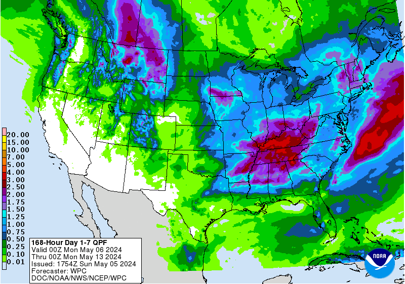
A winter storm is about to smother the Western U.S. with snowfall today – Friday. Up to 30″ in forecasted in Wyoming.
Mt. Bachelor, OR has received 45″ of snow in the past week and the forecast is calling for anywhere from 17-27″ of snow throughout today into tomorrow!
Mt. Bachelor just opened the NORTHWEST terrain, as seen in the video below, and they are about to open their new Cloud Chaser lift!
[iframe id=”https://www.facebook.com/plugins/video.php?href=https%3A%2F%2Fwww.facebook.com%2Fmtbachelorfanpage%2Fvideos%2F10154325344780817%2F&show_text=0&width=560″]

NOAA has issued Winter Storm Warnings today for:
- Oregon
- Wyoming
- Washington
- Montana
- Idaho

NOAA has issued Winter Weather Advisories for:
- Washington
- Oregon
- Idaho
- Wyoming
- Nevada
- Colorado
(there’s also a Winter Storm Watch in Wyoming, Montana, California, and South Dakota)

SNOWFALL FORECASTS TODAY by STATE:
Oregon: 17-27″
Total daytime snow accumulation of 13 to 19 inches possible.
New overnight snow accumulation of 4 to 8 inches possible.
- NOAA Medford, OR Today

Wyoming: 20-30″
* TOTAL SNOWFALL...20 TO 30 INCHES IN THE TETONS WITH 16 TO 24
  INCHES ALONG THE GROS VENTRE RANGE. SNOWFALL OF 8 TO 16 INCHES
  POSSIBLE IN THE JACKSON VALLEY.
- NOAA Riverton, WY Today

Washington: 6-13″
* SNOW ACCUMULATIONS...IN THE CASCADES 6 TO 13 INCHES...HEAVIEST SOUTH.
- NOAA Seattle, WA Today

Montana: 18-24″
* SNOW ACCUMULATION...18 TO 24 INCHES.
- NOAA Billings, MT today

Idaho: 24+”
* SNOW ACCUMULATIONS...LOWER ELEVATIONS WILL SEE RAIN ON THURSDAYAND WILL LIKELY SEE 5 TO 10 INCHES OF TOTAL SNOW THROUGH FRIDAY.10 TO 20 INCHES OF SNOW WITH LOCALLY
HIGHER AMOUNTS TO AROUND 24 INCHESMAINLY ABOVE 5500 TO 6000 FEET.
- NOAA Boise, ID Today
