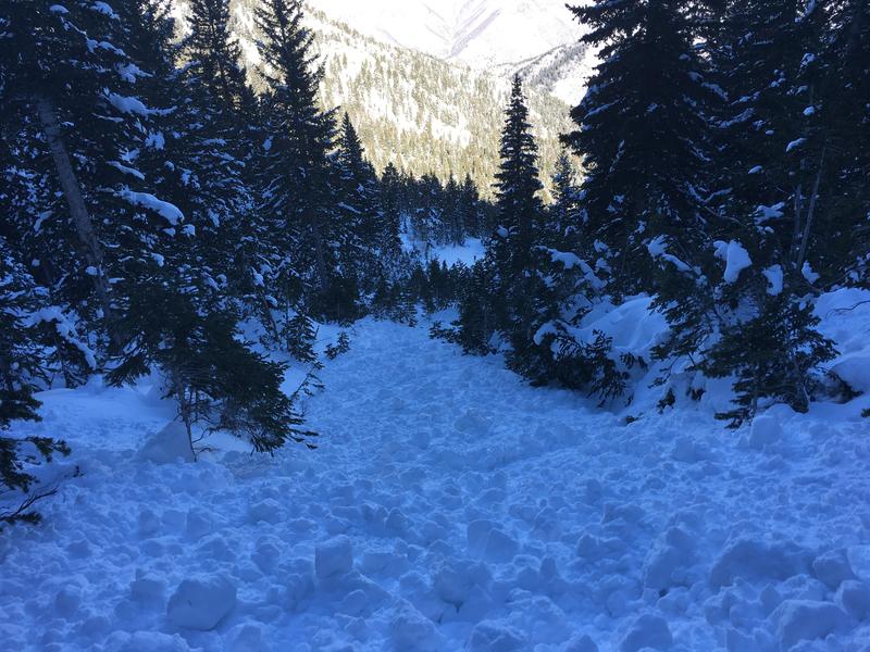
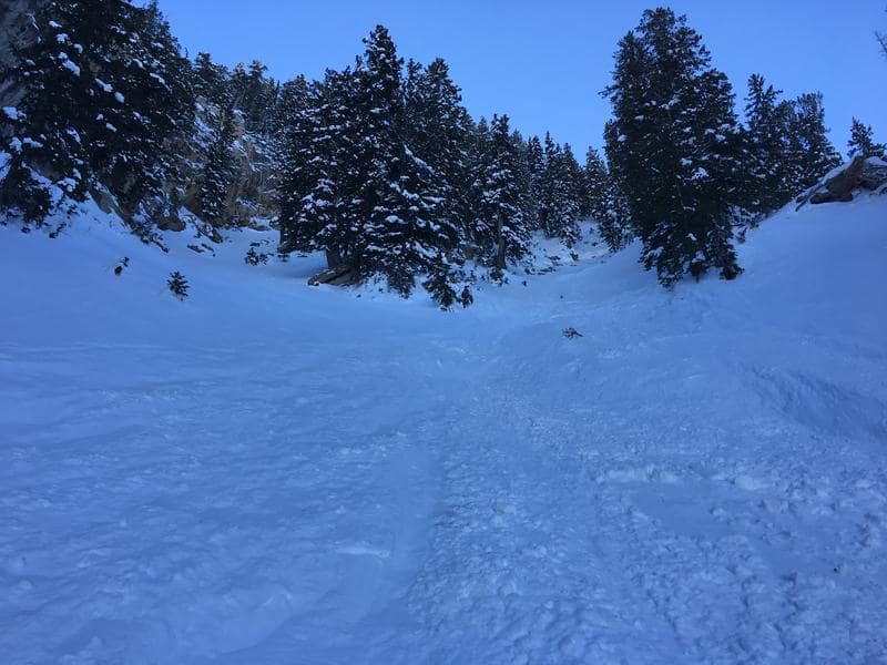
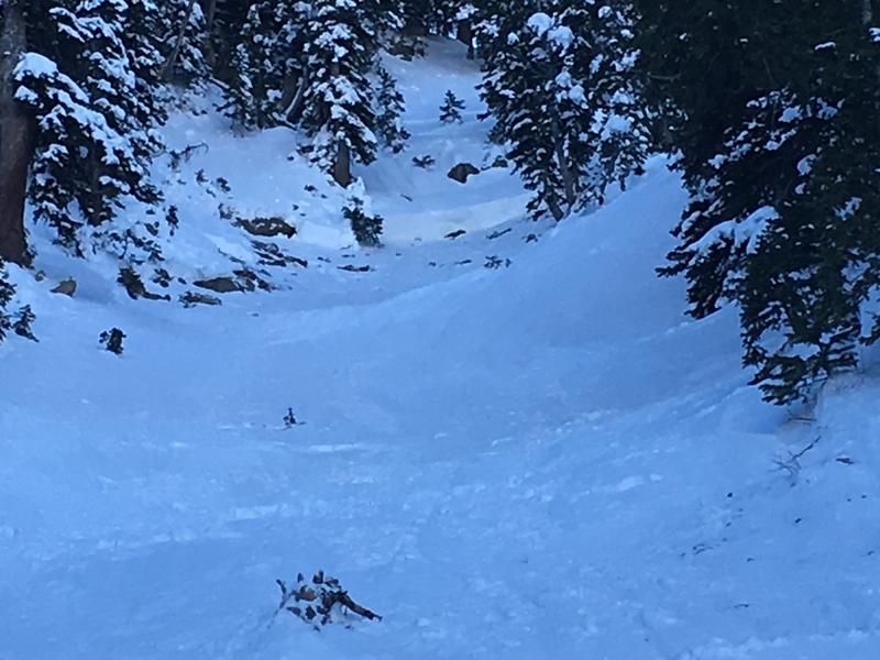
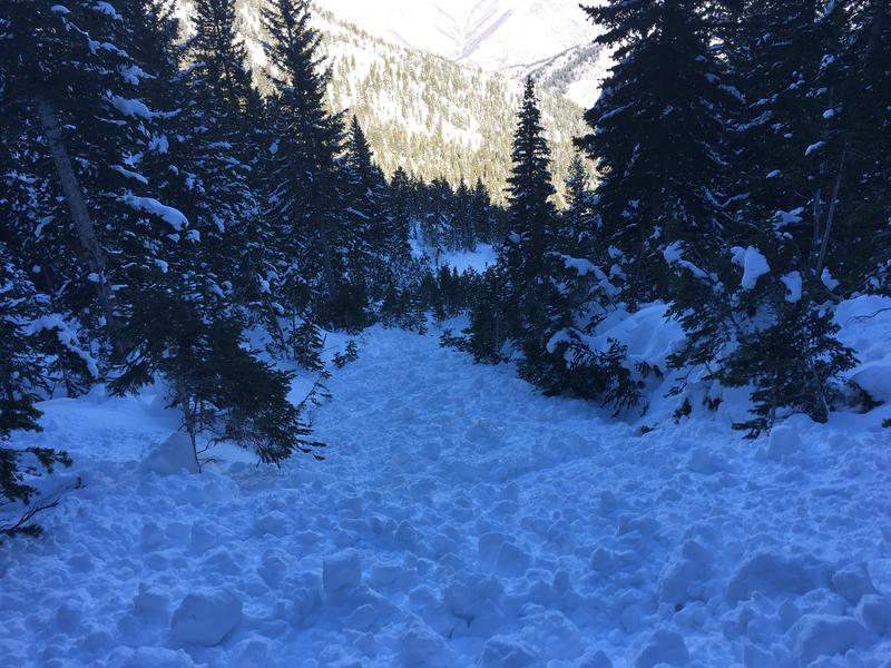
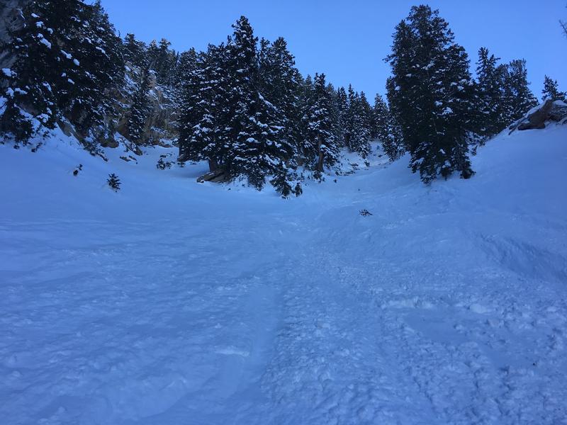
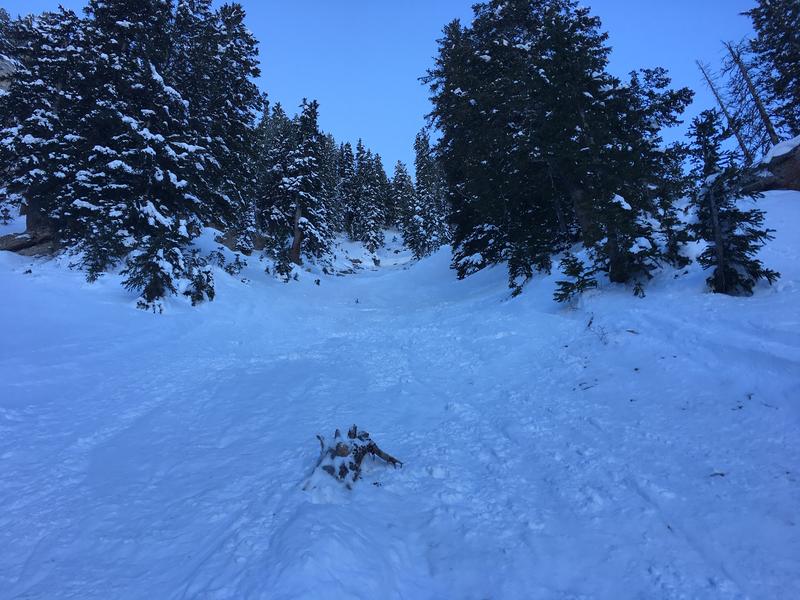
Over the weekend a skier-triggered avalanche caught and carried a person. While only 30 feet wide, the slide ran 600 feet!! Through trees and all. The avalanche occurred on Dec. 8th, 2018.
The caught skier suffered a facial laceration that required a trip to the ER and badly bruised hip, back, and shoulder. BUT SURVIVED!!
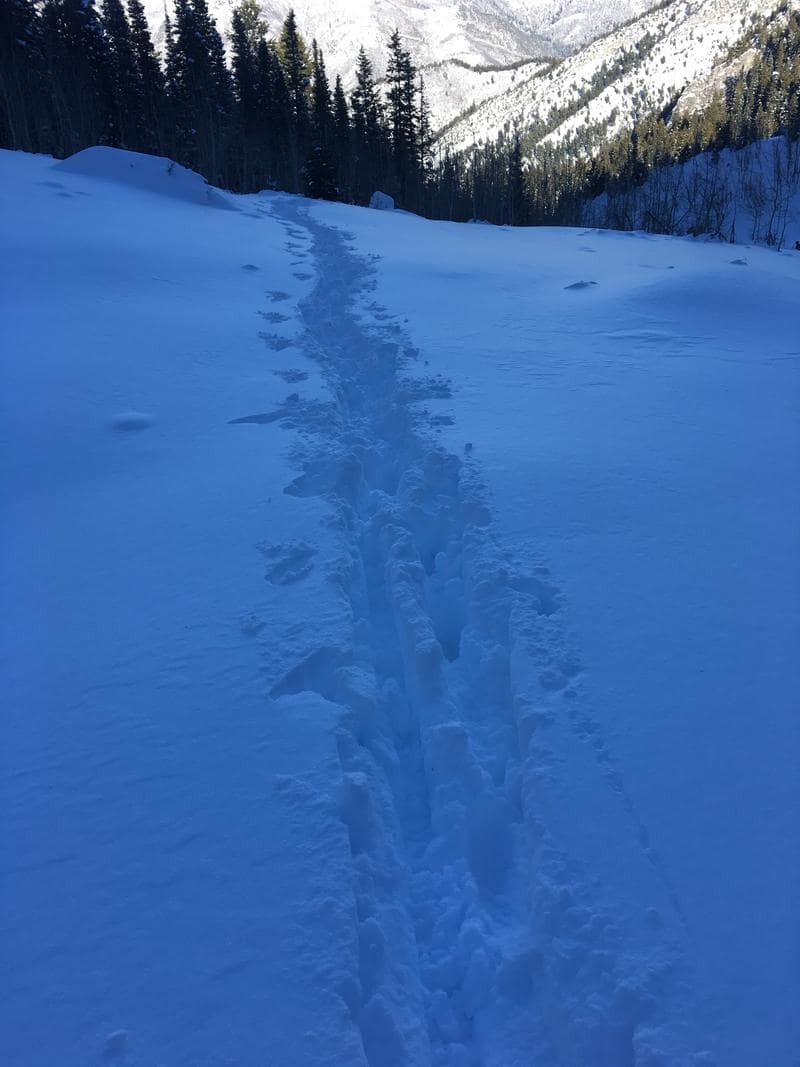
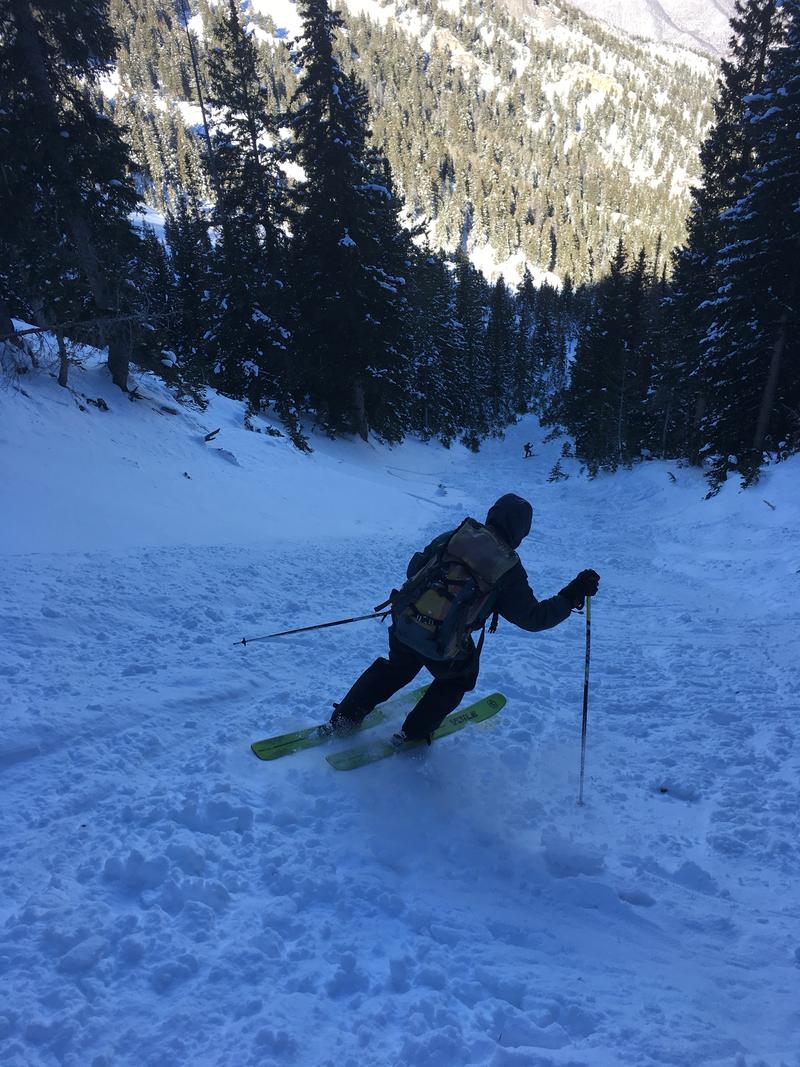
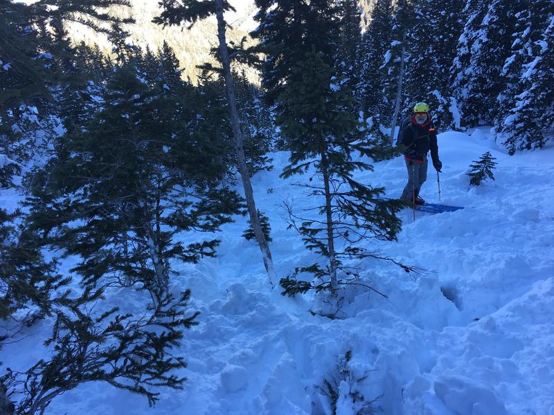
With a broken ski, the group self-evacuated (good job getting yourselves out) by post-holing for 3 miles and 3500 vertical feet. Getting injured in the backcountry, even in the easy to access Wasatch Mountains of Utah, is NO JOKE!!
UTAH AVALANCHE CENTER REPORT:
Accident: The Ice Box
Observer Name
Hardesty, Diegel, Patterson, Donner
Observation Date
Saturday, December 8, 2018
Avalanche Date
Saturday, December 8, 2018
Region
The Ice Box
Location Name or Route
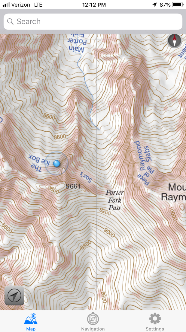
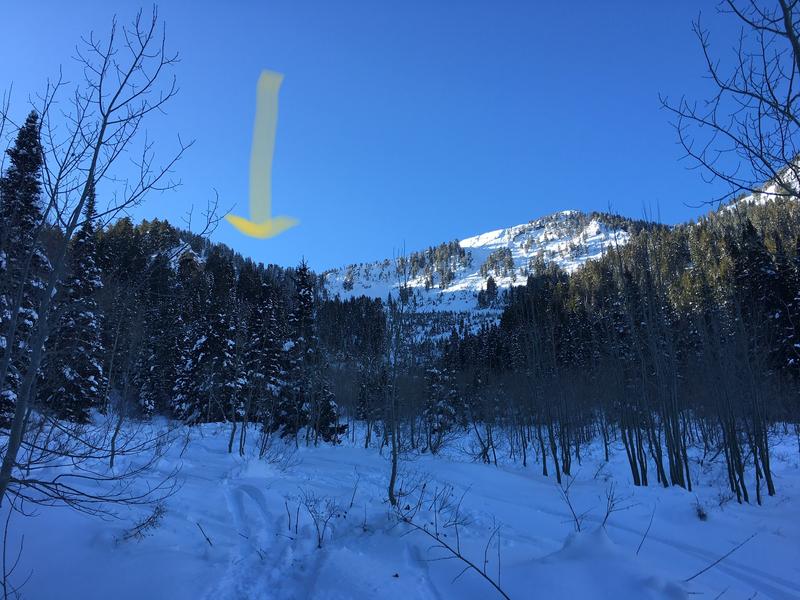
Trees/chute east of the Ice Box, Porter Fork
Elevation
9500
Aspect
Northwest
Slope Angle
45
Trigger
Skier
Trigger: additional info
Unintentionally Triggered
Avalanche Type
Soft Slab
Avalanche Problem
Persistent Weak Layer
Weak Layer
Depth Hoar
Depth
3′
Width
30
Vertical
600
Carried
1
Caught
1
Buried – Partly
1
Injured
1
Accident and Rescue Summary:
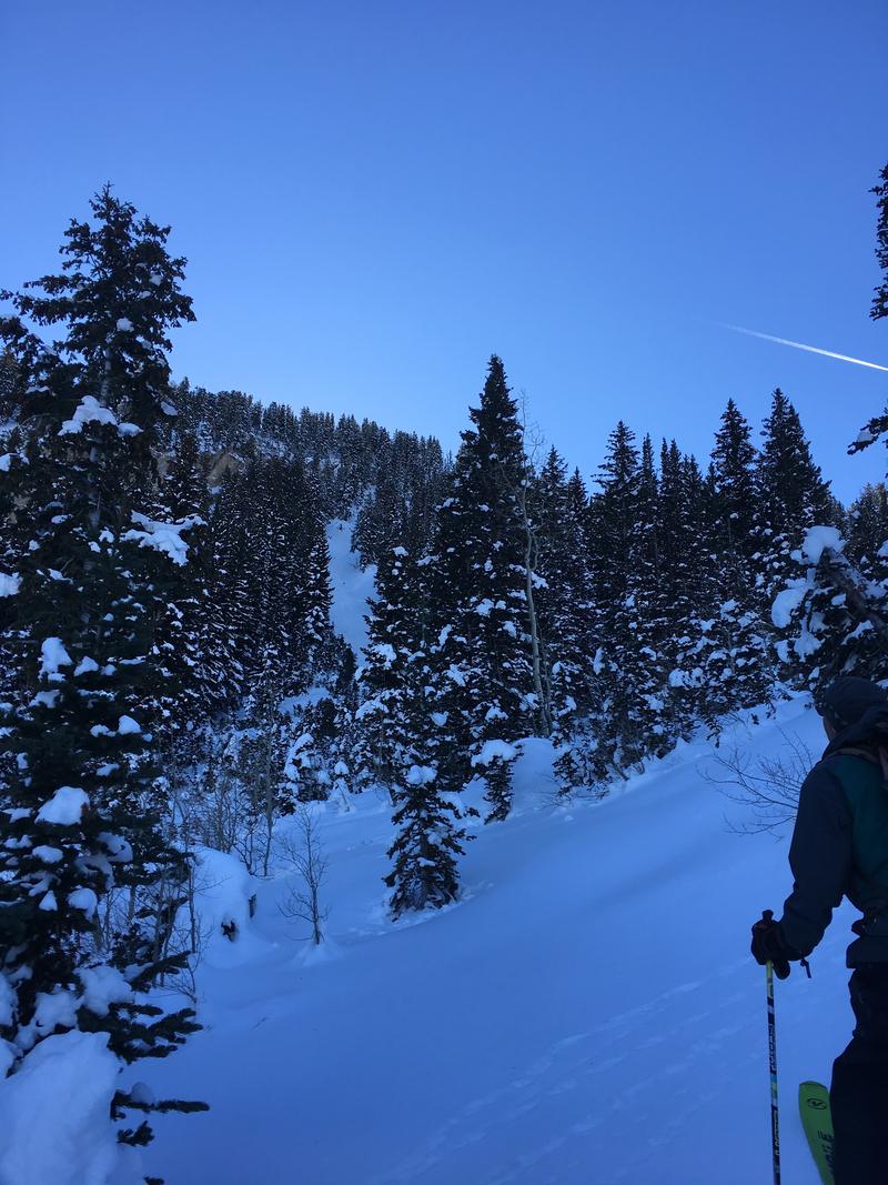
Party’s report in italics:Second skier on the slope was caught. Slope broke above the skier, right where you would expect it to near some rocks on the entrance of the chute after the skier was a good 100′ below. Skier was dragged through some trees before coming to rest with head and arms above snow and facing downhill. Both skis were recovered, but one was split in half. We were able to self evacuate, but the caught skier suffered a facial laceration that required a trip to the ER, bruised hip, back and shoulder.
Despite the broken ski, the injured party was able to self-evacuate by post-holing over 3 miles and 3500′ vertical back to the Porter Fork parking.
Terrain Summary
The east chute in the Icebox is a very steep, rocky chute in the upper reaches of main Porter Fork in Mill Creek Canyon. It lies just slightly north and west of Peak 9661′ and a little more than a half-mile west-northwest of Mt Raymond. The starting zone at 9550′ faces north-northwest, exceeds 45° in steepness and is jagged, rocky terrain. The avalanche path itself, slicing through mature timber, runs for nearly 1000′ as a narrow gulley, or tube, whose origins lie in an extreme avalanche event from an unknown cycle. The runout zone consists of younger timber and a lone, well-flagged mature fir.
Weather Conditions and History:
Early October snowfall and subsequent high pressure set the stage. The October snow, experiencing significant temperature gradient metamorphism, quickly devolved into loose, weak, sugary, faceted snow. By mid-November, we had a good potential bed surface in the way of crusts….good weak layers in the form of weak faceted snow…..all we needed were storms to build a slab to make avalanches. An active weather pattern began on Thanksgiving (November 22) through December 4th adding 61″ of snow (5.14″ snow-water-equivalent). (Snow and water numbers from Alta ski area. The Porter Fork area typically has 50-75% of this snow.) This, combined with periods of stronger winds, led to unstable avalanche conditions with a High or Considerable avalanche danger for suspect terrain through Dec 8th.
Greg Gagne’s Week(s) in Review can be found here.
Snow Profile Comments
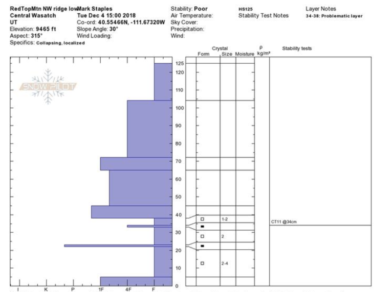
Our team chose not to ascend to the crown due to hazard from above (hangfire), as well as potential hazard from other starting zones feeding into the main path. Snow profile below from Mark Staples and Andrew McLean is from a similar elevation in Little Cottonwood Canyon on December 4th and (while holding a deeper snowpack) roughly mirrors what one would find at the crown of this avalanche: roughly 2-3′ of settled storm snow over 6-12″ of basal depth hoar, facets, and crusts.
Comments
Forecaster Greg Gagne was in Porter Fork two days prior to the accident on Dec 6th. His observations can be found here: https://utahavalanchecenter.org/observation/40937 Another avalanche professional reported seeing a remotely triggered avalanche in nearby terrain (albeit at a much lower elevation) on Dec 2. https://utahavalanchecenter.org/avalanche/40765 Avalanche professional Nat Grainger’s take on the snowpack from nearby terrain on Dec 3 in the video below –
Comments
Forecaster comments: We are glad this ended with only some bumps, bruises, lacerations, and a broken ski. This must have been a terrifying ride, rocketing down 40°-plus terrain and through younger stands of fir and spruce. Hats off to the team to self-evacuate. Same goes for reporting the incident. These incidents and stories help to keep others educated and hopefully safe.
If the party is reading this, we would very much appreciate hearing more of the story. Best – Drew Hardesty drew@utahavalanchecenter.org
Thanks – Thanks also to Paul Diegel, Ashley Patterson, and Peter Donner for their help in this investigation.
Video
Coordinates

- You might also like: ‘Utah Avalanche Center’ and ‘Know Before You Go’ Offer FREE Online Avalanche Course
Be careful out there folks!
This is a season to be patient. Enjoy the world-class Wasatch powder at lower angles or on sunny slopes while the snowpack heals.