Credit: WeatherBell
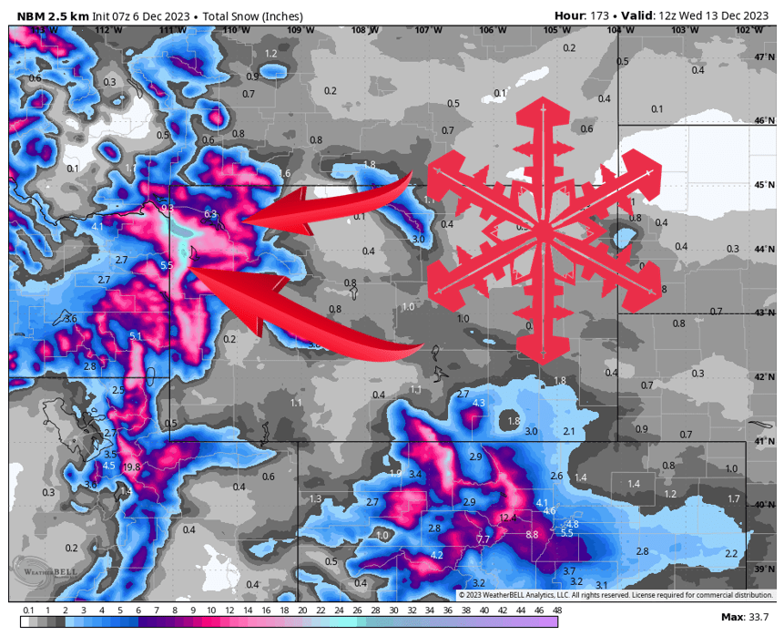
A major winter storm will sweep across the Rockies through the early part of next week, with a bullseye on the Teton Range. 6-24” is expected at resorts in NW Wyoming.
Snow begins Thursday morning in the Tetons and quickly spreads over the Absaroka and Wind River Mountains. Snow continues through Friday afternoon before a brief dry period Friday night. By Friday night, 6-12” is expected for the Teton resorts, and 3-6” at Sleeping Giant.
Snow picks up again Saturday afternoon, and continues at times through Tuesday morning. Snow looks light to moderate, but over the length of this storm could produce impressive snow totals. Here are the realistic snow totals from Thursday morning through Tuesday morning for the bigger NW Wyoming resorts:
- Jackson Hole Mountain Resort: 12-20”
- Grand Targhee Resort: 16-24”
- Sleeping Giant Ski Area: 6-12”
After Tuesday, Wyoming looks high and dry for a week or so. Thankfully, models are indicating a return window for snow around the 18th of December.