Forecast prepared at midnight MST, April 12, 2025
Colorado is currently situated under a ridge of high pressure, which is causing temperatures to be about 10-15ºF warmer than normal. However, a storm is set to move across the Northern Rockies this weekend, leading to significantly cooler temperatures and producing snow at some of the Colorado resorts on Sunday and Monday.
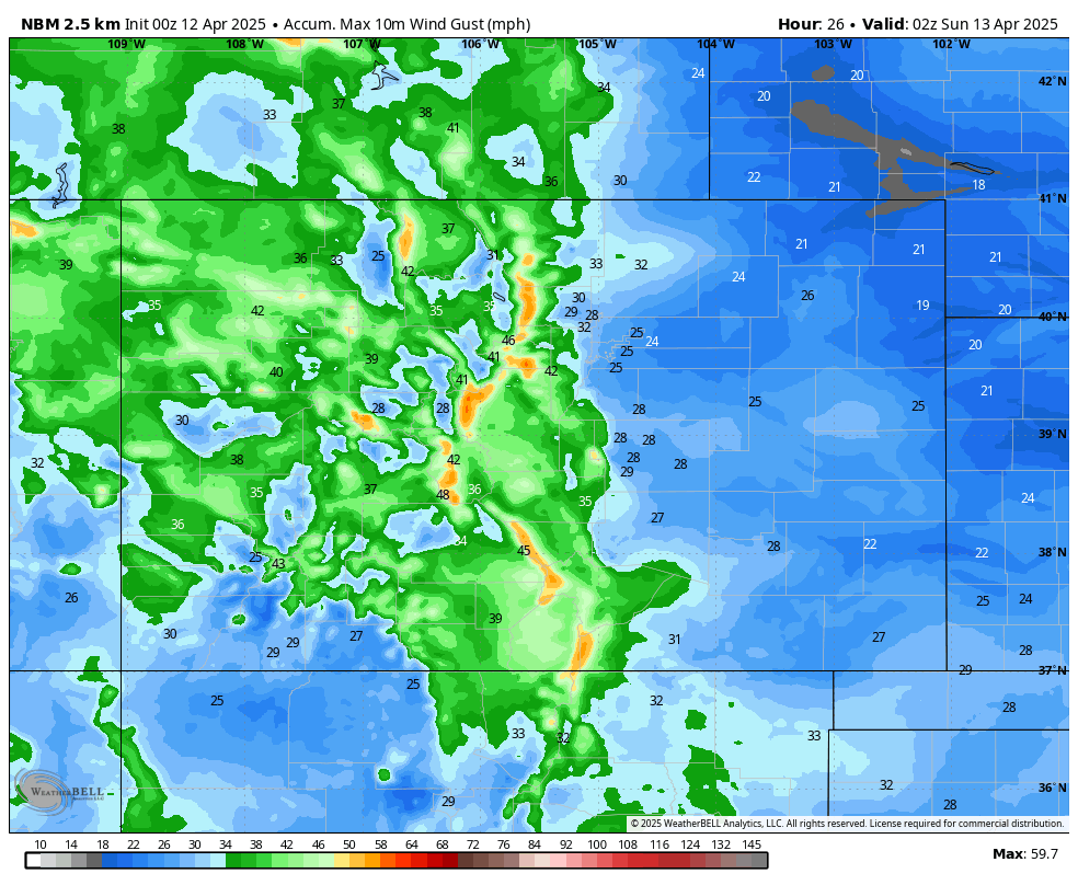
The first evidence of this incoming storm will be increased winds on Saturday. The higher terrain, in particular, will see gusty winds during the daytime on Saturday, with widespread 40+ mph gusts on the slopes in the afternoon. Winds will continue into the night across the higher terrain, driven by a cold front that arrives on Sunday.
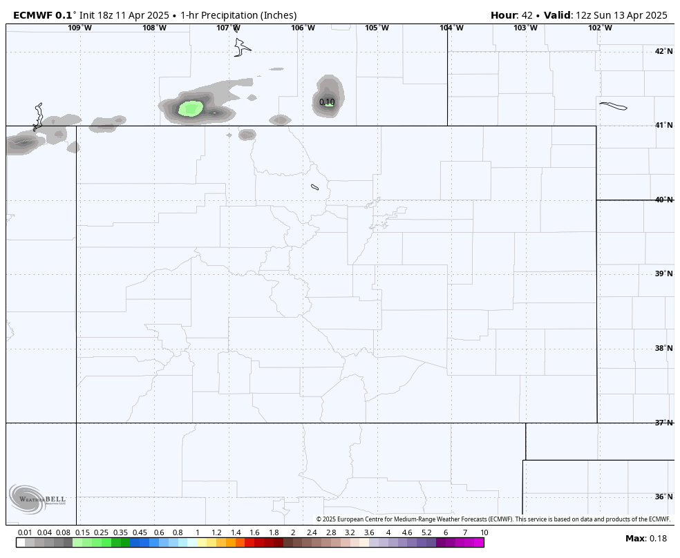
Colder air will start oozing into Colorado on Saturday night, but it appears that the actual cold front will hold off until Sunday afternoon. That cold front will be the catalyst for precipitation, with a mix of rain and snow expected across Colorado on Sunday afternoon. Snow levels will be as high as 9,000-10,000ft on Sunday, dropping to 7,000-8,000ft overnight as colder air settles in behind the cold front.
Precipitation will form a band along the cold front, stretching west-to-east across much of the state Sunday night. That band will dissipate on Monday, but an unstable airmass is expected to produce some mountain thunderstorms on Monday afternoon, some of which will be capable of producing thundersnow (a relatively rare and very cool phenomenon). Things settle down again Monday night as colder air moves off to the east.
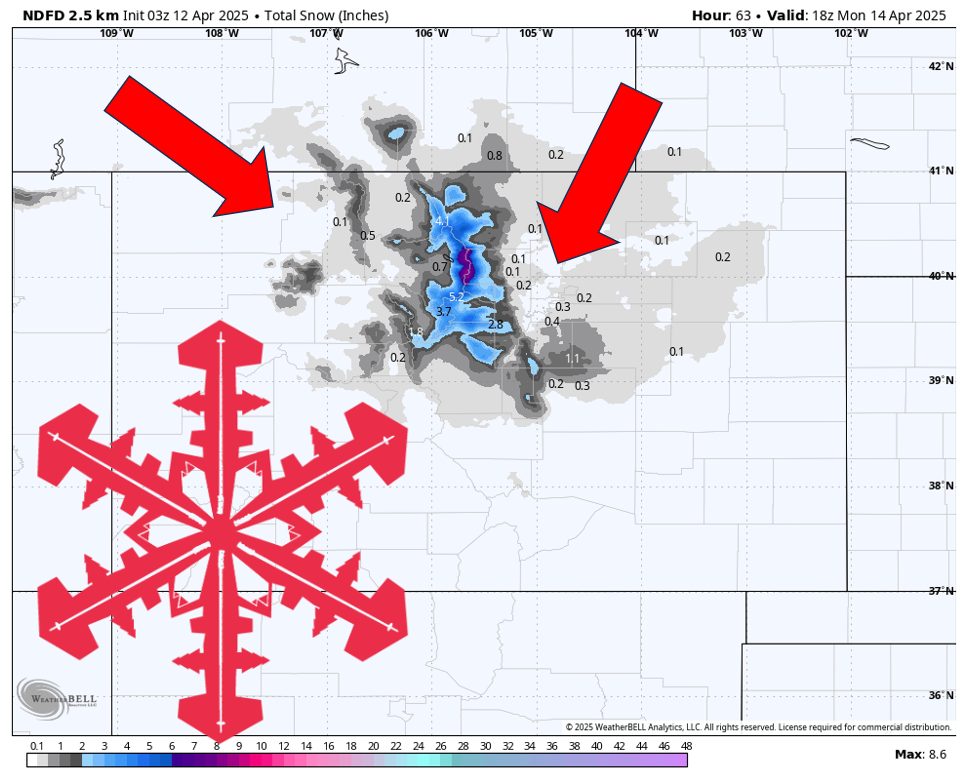
Resort Forecast Totals
- A-Basin – 2″-5″
- Breckenridge – 2″-5″
- Vail – 1″-3″