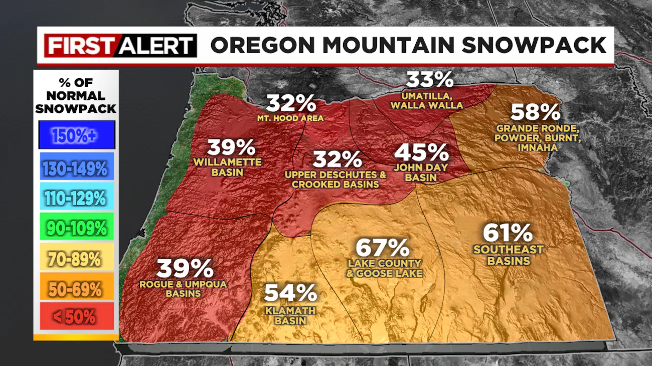
The snowfall across much of the U.S. this winter has been disappointing. Although plenty of resorts are open, the average snowpack is well below historical averages.
Nowhere else is this more apparent than in the Pacific Northwest on Oregon’s Mt. Hood. For December, which is typically one of the stormiest months in the region, there were only weak or mostly warm systems moving through the area. In Portland, it was the warmest December on record since 1950.
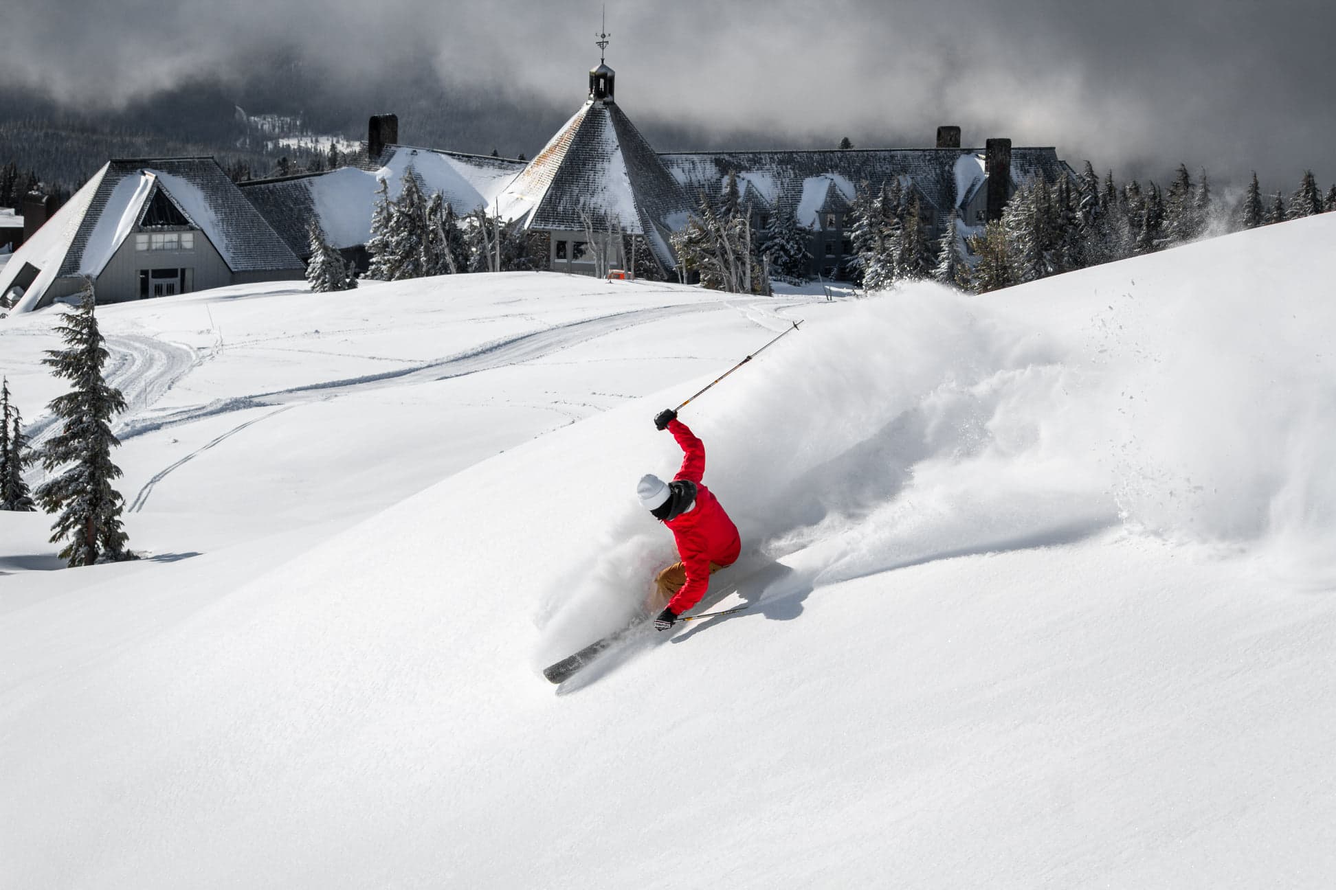
If you look at the 5,400-foot elevation level on Mt. Hood, the settled snowpack is the lowest it’s been in 40 years. It was only in 1983 that records began at that official SNOTEL location. The snow measured at the base of Timberline Lodge is also the lowest it has been in 34 years.

The Oregon Cascade Range has only three resorts open: Timberline Lodge, Mt. Hood Meadows, and Mt. Bachelor, and even those have limited terrain available. Popular resorts like Skibowl, Hoodoo, and Willamette Pass have been unable to open due to the thin snow coverage. This was the first time in 10 years that Skibowl was not able to open for Christmas Break skiing and riding.
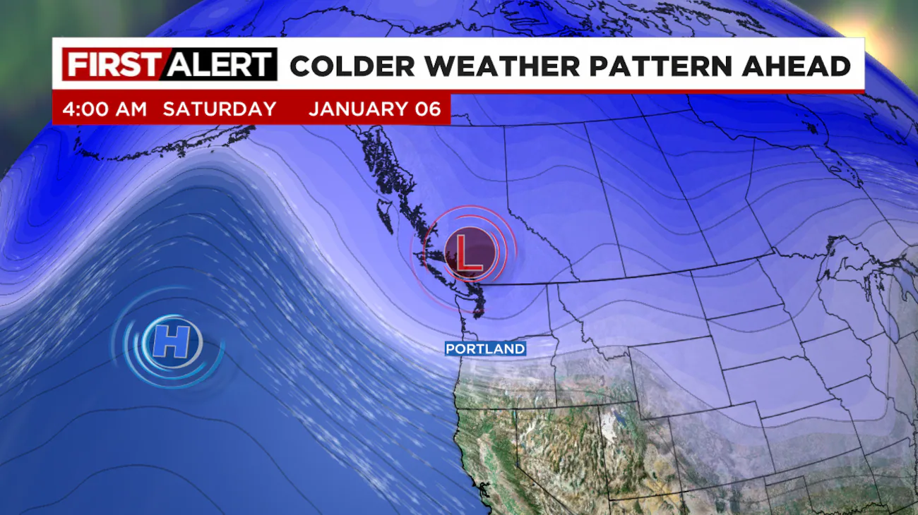
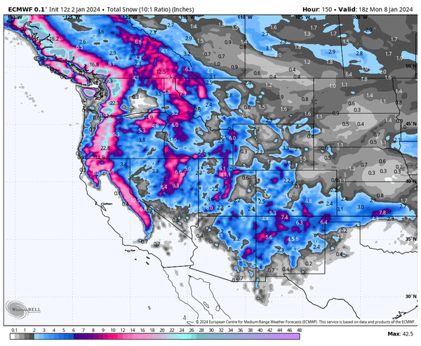
Fortunately, all that is about to change, as the next two weeks are forecasted to bring widespread snow starting Friday, as a cold and wet weather system moves in from the Gulf of Alaska. The midpoint of the next 14 days shows 57 inches of snow is expected for Mt. Hood. The high range calls for 97 inches. Let’s hope for that. This should result in more resort openings and additional rope drops at others.

This will be the first major extended cold and wet pattern the area has seen this year. The snow level should stay below 2,500 feet, and even drop to 1,500 feet at times, which means the coast range of Oregon could get snow as well. This will also aid some of the lower-elevation resorts with plenty of base-building snow.
It looks like ski season is finally taking off in the PNW. Thank goodness!

One thought on “Snowfall is Finally on its Way to Oregon After Worst Start to Winter in 40 Years”