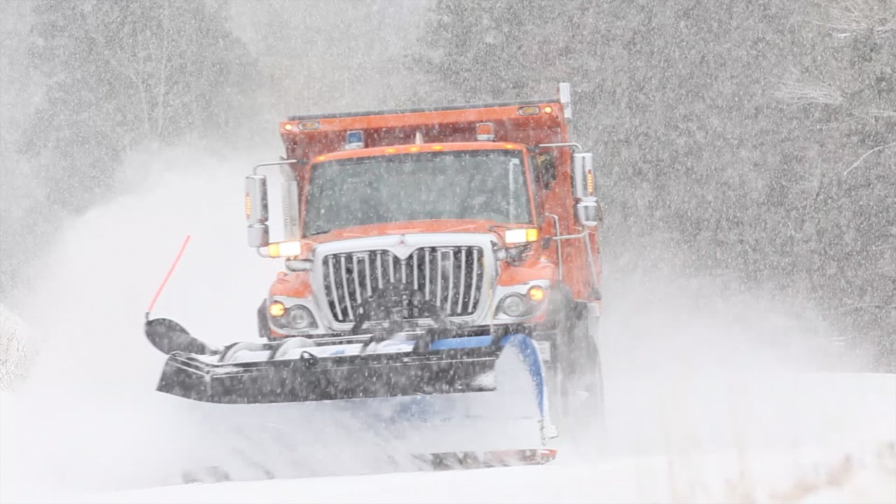
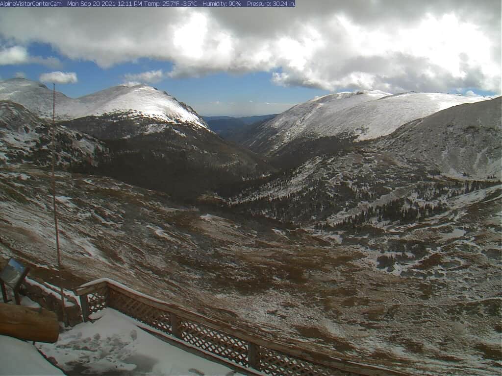
Just in time for fall, Trail Ridge Road in Rocky Mountain National Park, CO, closed yesterday morning as wintry conditions brought snowdrifts up to 3-FEET deep.
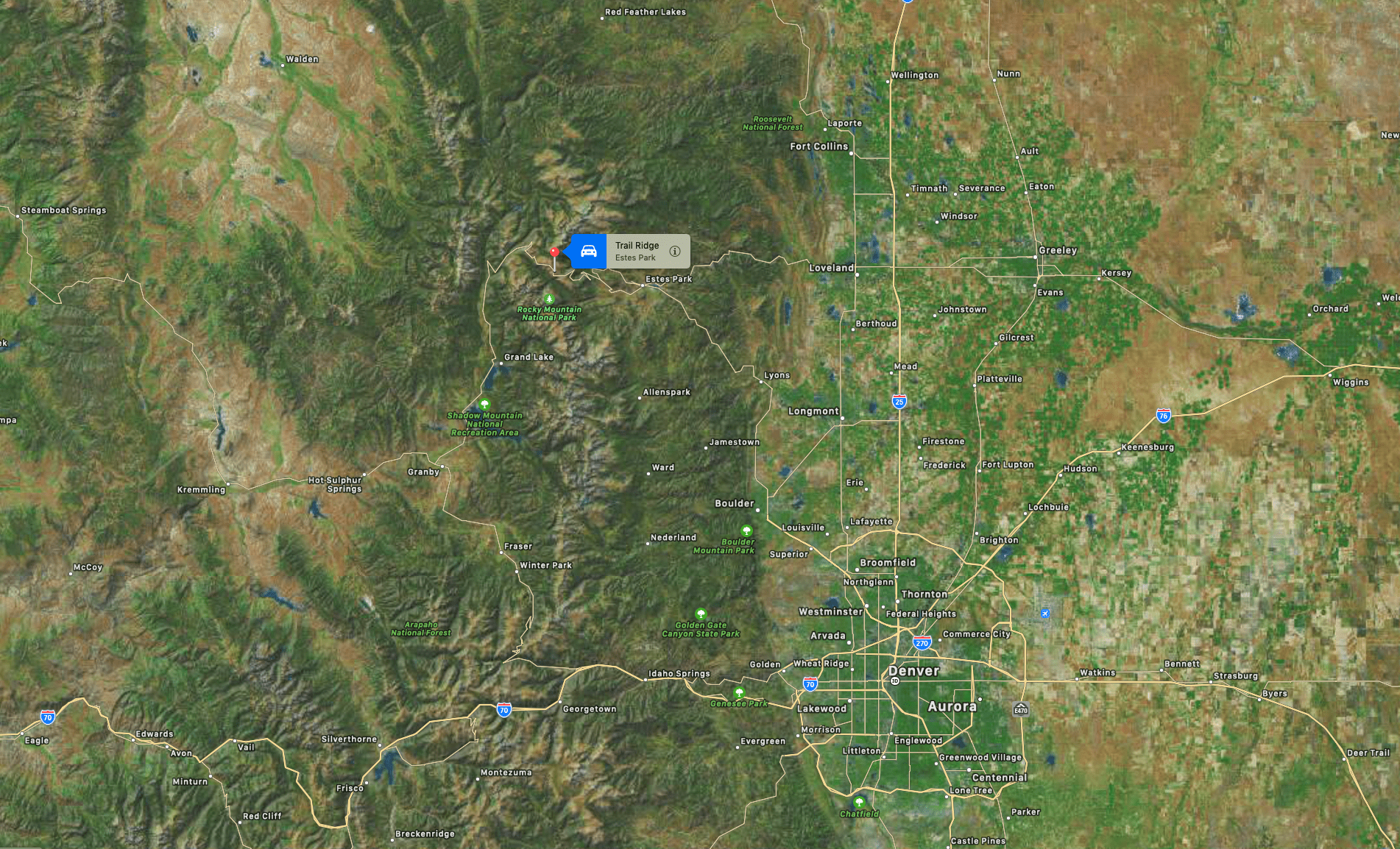
The highest paved road in Colorado was closed at Many Parks Curve, about 7 miles from the east entrances and Colorado River Trailhead, 10 miles from the Grand Lake Entrance. The road reopened later that afternoon.
Trail Ridge Rd in #RMNP now temporarily closed at Many Parks Curve east side, 7 mi from east entrances, & Colorado River Trailhead west side, 10 mi from Grand Lake Entrance, due to winter conditions incl 2-3 ft snowdrifts & ice. It will reopen when conditions & weather permit. ks
— RockyNPS (@RockyNPS) September 20, 2021
Elsewhere in the state, webcams at Steamboat Resort showed up to four inches of fresh snow, and Arapahoe Basin, Keystone, Loveland, and Winter Park all showed a dusting.
As fall is now upon us it’s just a matter of days before Loveland and Arapahoe Basin start-up their snowguns and the #RaceToOpen begins.
According to Wikipedia, Trail Ridge Road is the name for a stretch of U.S. Highway 34 that traverses Rocky Mountain National Park from Estes Park, Colorado in the east to Grand Lake, Colorado in the west. The road is also known as Trail Ridge Road/Beaver Meadow National Scenic Byway.
The road is closed during the winter, and often remains closed until late spring or early summer depending on the snowpack. The Trail Ridge Road is the highest paved through road in Colorado and it is also the highest paved road in Colorado that crosses the continental divide (Cottonwood Pass at 12,126 feet is the second highest, and Colorado State Highway 82 at 12,095 feet going through Independence Pass is the third highest).
One thought on “Trail Ridge Road in Rocky Mountain National Park, CO Closed Yesterday Due to 3-Foot Snowdrifts”